


How to get from Benger Air Park (Texas) to Denver City (Texas)
Calculate route from Benger Air Park (Texas, United States) to Denver City (Texas, United States).
The flight distance (as the crow flies) between Benger Air Park and Denver City is 187.4 km.
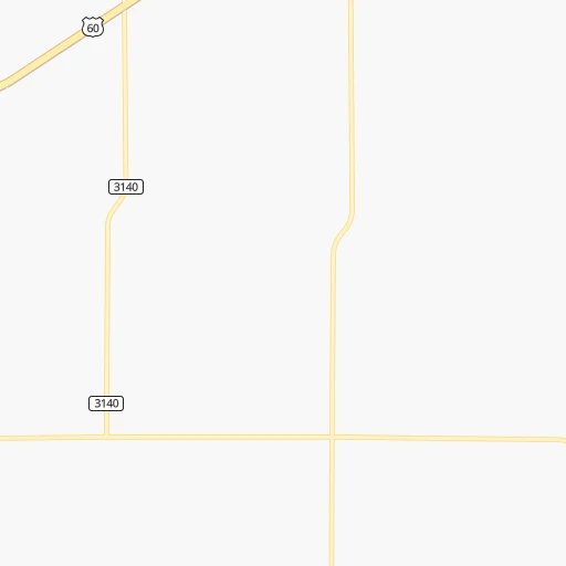
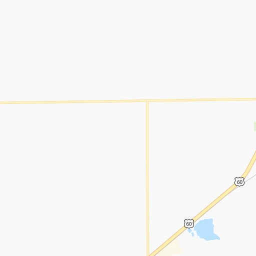
Roadmap (route) to go from Benger Air Park to Denver City detailed above, you can also see the course layout on the map.
While doing trip Benger Air Park - Denver City by car, the calculated route ends at a distance , or more straight.
Distance and duration of the route between Benger Air Park and Denver City
Calculation of distance and route from Denver City to Benger Air Park :
187.4194.0 km2h21mn
Continue 0h1mn 177 mTurn right onto US 60 0h2mn 2.5 kmTurn left onto South Main Street 0h1mn 697 mTurn right onto West 5th Street 0h1mn 808 mTurn left onto Grand Avenue 0h27mn 45.5 kmTurn right onto North 1st Street 2h49mn 143.3 kmKeep right 0h0mn 212 mTurn slight right onto East Broadway Street 0h1mn 799 mTurn right onto North Main Avenue 0h0mn 18 mArrive at destination 0h0mn 0 m
Travel from Benger Air Park (Texas) to a selection of major cities.
Distances from Benger Air Park to biggest cities in Texas
- Killeen,140,806 inhabitants.608 km
- McAllen,140,269 inhabitants.1,033 km
- Carrollton,133,168 inhabitants.569 km
- Midland,132,950 inhabitants.301 km
- Waco,132,356 inhabitants.622 km
- Denton,131,044 inhabitants.538 km
- Abilene,121,721 inhabitants.368 km
- Odessa,118,968 inhabitants.313 km
- Beaumont,118,129 inhabitants.954 km
- Round Rock,115,997 inhabitants.658 km
- Richardson,110,815 inhabitants.583 km
- Pearland,108,821 inhabitants.898 km
- College Station,107,889 inhabitants.745 km
- Wichita Falls,104,710 inhabitants.395 km
- Lewisville,104,039 inhabitants.556 km
- Tyler,103,700 inhabitants.732 km
- San Angelo,100,450 inhabitants.412 km
- Alief,98,725 inhabitants.865 km
- League City,98,312 inhabitants.917 km
- Allen,98,143 inhabitants.582 km
Other major cities in country :
- Memphis [TN], 655,770 inhabitants. 1,155 km
- New South Memphis [TN], 641,608 inhabitants. 1,154 km
- Portland [OR], 632,309 inhabitants. 2,079 km
- Oklahoma City [OK], 631,346 inhabitants. 480 km
- Las Vegas [NV], 623,747 inhabitants. 1,141 km
- Baltimore [MD], 621,849 inhabitants. 2,368 km
- Washington, D.C. [DC], 601,723 inhabitants. 2,328 km
- Milwaukee [WI], 600,155 inhabitants. 1,582 km
- South Boston [MA], 571,281 inhabitants. 2,868 km
- Albuquerque [NM], 559,121 inhabitants. 365 km
- Tucson [AZ], 531,641 inhabitants. 811 km
- Nashville [TN], 530,852 inhabitants. 1,452 km
- Fresno [CA], 520,052 inhabitants. 1,559 km
- Sacramento [CA], 490,712 inhabitants. 1,733 km
- Kansas City [MO], 475,378 inhabitants. 876 km
- Long Beach [CA], 474,140 inhabitants. 1,429 km
- Mesa [AZ], 471,825 inhabitants. 853 km
- Staten Island [NY], 468,730 inhabitants. 2,590 km
- Atlanta [GA], 463,878 inhabitants. 1,686 km
- Colorado Springs [CO], 456,568 inhabitants. 503 km
Route from Denver City to major cities (United States).
- Distance Denver City New York City2,695 km
- Distance Denver City Los Angeles1,435 km
- Distance Denver City Chicago1,663 km
- Distance Denver City Brooklyn2,698 km
- Distance Denver City Queens2,708 km
- Distance Denver City Philadelphia2,584 km
- Distance Denver City Phoenix862 km
- Distance Denver City Manhattan2,699 km
- Distance Denver City San Diego1,340 km
- Distance Denver City The Bronx2,709 km
- Distance Denver City San Jose1,799 km
- Distance Denver City Jacksonville2,024 km
- Distance Denver City San Francisco1,853 km
- Distance Denver City Columbus1,933 km
- Distance Denver City Indianapolis1,672 km
- Distance Denver City Charlotte2,038 km
- Distance Denver City Seattle2,311 km
- Distance Denver City Denver778 km
- Distance Denver City Detroit2,024 km
- Distance Denver City Boston2,968 km
Nearest cities to Benger Air Park :
- Lubbock, 249,042 inhabitants. 142 km
- Amarillo, 198,645 inhabitants. 101 km
- Midland, 132,950 inhabitants. 301 km
- Abilene, 121,721 inhabitants. 368 km
- Odessa, 118,968 inhabitants. 313 km
- Roswell, 48,544 inhabitants. 219 km
- Clovis, 39,480 inhabitants. 54 km
- Hobbs, 38,416 inhabitants. 220 km
- Carlsbad, 28,957 inhabitants. 286 km
- Big Spring, 28,862 inhabitants. 290 km
- West Odessa, 22,707 inhabitants. 313 km
- Plainview, 20,919 inhabitants. 104 km
- Liberal, 20,746 inhabitants. 311 km
- Pampa, 18,177 inhabitants. 186 km
- Hereford, 15,021 inhabitants. 33 km
- Dumas, 15,001 inhabitants. 151 km
- Canyon, 14,887 inhabitants. 80 km
- Levelland, 13,914 inhabitants. 122 km
- Andrews, 13,816 inhabitants. 260 km
- Las Vegas, 13,386 inhabitants. 253 km
- Borger, 12,964 inhabitants. 164 km
- Artesia, 12,036 inhabitants. 256 km
- Portales, 11,995 inhabitants. 78 km
- Guymon, 11,921 inhabitants. 252 km
- Lovington, 11,800 inhabitants. 199 km
- Snyder, 11,768 inhabitants. 271 km
- Sweetwater, 10,809 inhabitants. 322 km
- Brownfield, 9,736 inhabitants. 168 km
- Lamesa, 9,427 inhabitants. 223 km
- Perryton, 9,252 inhabitants. 260 km
- Dalhart, 8,370 inhabitants. 158 km
- Trinidad, 8,153 inhabitants. 325 km
- Ruidoso, 7,739 inhabitants. 312 km
- Seminole, 7,448 inhabitants. 215 km
- Kermit, 6,434 inhabitants. 313 km
- Raton, 6,187 inhabitants. 297 km
- Childress, 6,101 inhabitants. 230 km
- Ulysses, 6,097 inhabitants. 348 km
- Littlefield, 6,090 inhabitants. 88 km
- Slaton, 6,072 inhabitants. 166 km
- Taos, 5,740 inhabitants. 326 km
- Post, 5,349 inhabitants. 203 km
- Muleshoe, 5,185 inhabitants. 47 km
- Tucumcari, 5,025 inhabitants. 111 km
- Denver City, 4,864 inhabitants. 188 km
- Tulia, 4,760 inhabitants. 87 km
- Wolfforth, 4,249 inhabitants. 142 km
- Dimmitt, 4,195 inhabitants. 37 km
- Colorado City, 4,117 inhabitants. 303 km
- Hugoton, 3,964 inhabitants. 306 km
Location Benger Air Park (Texas) :
| Country flag |  |
| Location | Benger Air Park |
| State | Texas |
| County | Parmer County |
| Country | United States |
| Country code / ISO 2 | US |
| Latitude | 34.6476300 |
| Longitude | -102.6930700 |
| Altitude | 1220 meters |
| Time zone | America/Chicago |
Location Denver City (Texas) :
| Country flag | |
| Location | Denver City |
| State | Texas |
| County | Yoakum County |
| Country | United States |
| Country code / ISO 2 | US |
| Latitude | 32.9645500 |
| Longitude | -102.8291000 |
| Altitude | 1089 meters |
| Time zone | America/Chicago |