


How to get from Andrews County (airport) (Texas) to Tulia (Texas)
Calculate route from Andrews County (airport) (Texas, United States) to Tulia (Texas, United States).
The flight distance (as the crow flies) between Andrews County (airport) and Tulia is 256.2 km.
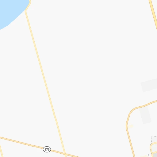
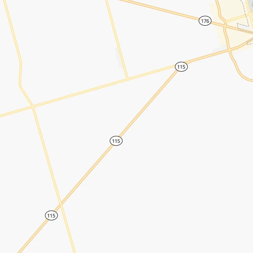
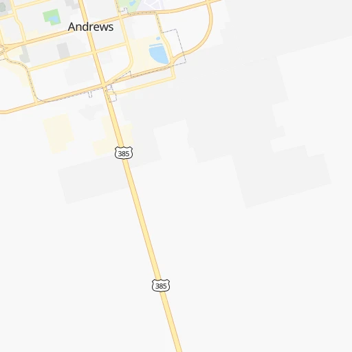
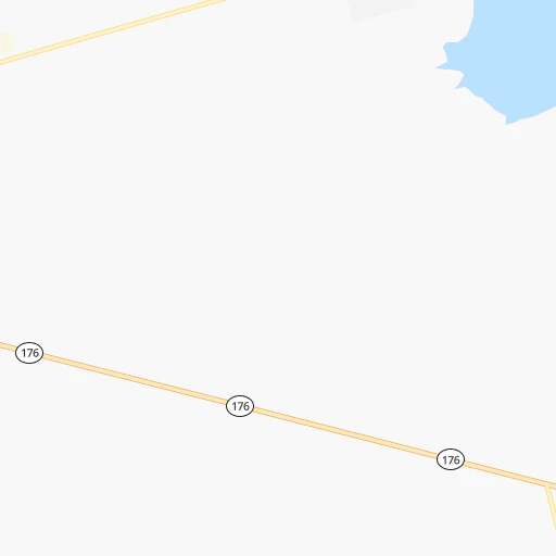
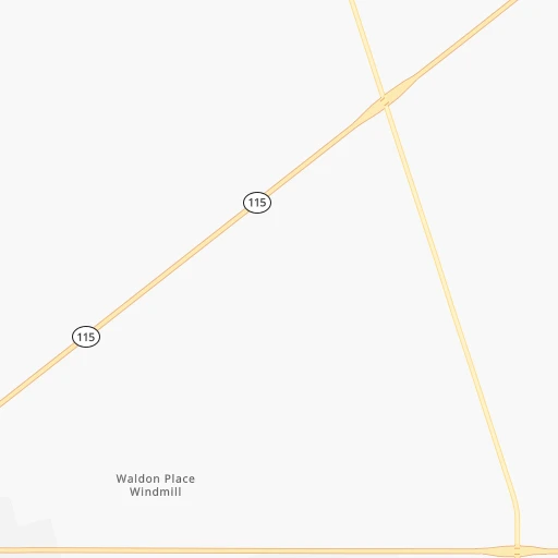
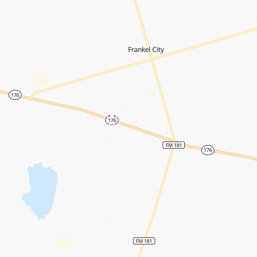
Roadmap (route) to go from Andrews County Airport to Tulia detailed above, you can also see the course layout on the map.
While doing trip Andrews County (airport) - Tulia by car, the calculated route ends at a distance , or more straight.
Distance and duration of the route between Andrews County (airport) and Tulia
An error occured: undefined - for url https://route.cartes.cc/route?point=32.32277%2C-102.53193&point=34.53589%2C-101.75852&vehicle=car&debug=false&data_type=application%2Fjson&locale=en&points_encoded=true&instructions=true&elevation=false&optimize=false&timeout=10000&skip.host=true&skip.basePath=true&graphhopper_maps_host=https%3A%2F%2Fgraphhopper.com%2Fmaps%2F%3F&turn_sign_map.0=continue&turn_sign_map.1=turn%20slight%20right&turn_sign_map.2=turn%20right&turn_sign_map.3=turn%20sharp%20right&turn_sign_map.4=finish&turn_sign_map.5=reached%20via%20point&turn_sign_map.6=enter%20roundabout&turn_sign_map.-6=leave%20roundabout&turn_sign_map.-3=turn%20sharp%20left&turn_sign_map.-2=turn%20left&turn_sign_map.-1=turn%20slight%20left&key=&position=topleft
Calculation of distance and route from Tulia to Andrews County (airport) :
256.2295.8 km3h11mn
Continue 0h0mn 139 mTurn left onto East Broadway Street 0h2mn 2.2 kmTurn left onto TX 115 1h49mn 54.3 kmKeep right onto State Highway 115 0h0mn 59 mTurn left onto State Highway 349 0h9mn 16.1 kmKeep right 0h0mn 301 mTurn slight right onto FM 2052 0h0mn 410 mTurn left onto South State Highway 137 0h4mn 4.5 kmTurn right onto North 4th Street 0h1mn 981 mTurn left onto North Dallas Avenue 0h28mn 49.2 kmKeep left onto US 87 2h32mn 162.7 kmKeep right 0h1mn 676 mTurn slight left onto I-27 Frontage Road 0h0mn 216 mTurn right onto TX 86 0h1mn 843 mKeep left onto TX 86 0h1mn 1.5 kmTurn sharp right onto Southwest 2nd Street 0h1mn 1.6 kmArrive at destination 0h0mn 0 m
Travel from Andrews County (airport) (Texas) to a selection of major cities.
Distances from Andrews County Airport to biggest cities in Texas
- Killeen,140,806 inhabitants.474 km
- McAllen,140,269 inhabitants.799 km
- Carrollton,133,168 inhabitants.533 km
- Midland,132,950 inhabitants.56 km
- Waco,132,356 inhabitants.516 km
- Denton,131,044 inhabitants.515 km
- Abilene,121,721 inhabitants.263 km
- Odessa,118,968 inhabitants.55 km
- Beaumont,118,129 inhabitants.840 km
- Round Rock,115,997 inhabitants.503 km
- Richardson,110,815 inhabitants.548 km
- Pearland,108,821 inhabitants.757 km
- College Station,107,889 inhabitants.618 km
- Wichita Falls,104,710 inhabitants.416 km
- Lewisville,104,039 inhabitants.525 km
- Tyler,103,700 inhabitants.680 km
- San Angelo,100,450 inhabitants.220 km
- Alief,98,725 inhabitants.723 km
- League City,98,312 inhabitants.776 km
- Allen,98,143 inhabitants.556 km
Other major cities in country :
- Memphis [TN], 655,770 inhabitants. 1,197 km
- New South Memphis [TN], 641,608 inhabitants. 1,195 km
- Portland [OR], 632,309 inhabitants. 2,270 km
- Oklahoma City [OK], 631,346 inhabitants. 581 km
- Las Vegas [NV], 623,747 inhabitants. 1,235 km
- Baltimore [MD], 621,849 inhabitants. 2,455 km
- Washington, D.C. [DC], 601,723 inhabitants. 2,411 km
- Milwaukee [WI], 600,155 inhabitants. 1,751 km
- South Boston [MA], 571,281 inhabitants. 2,980 km
- Albuquerque [NM], 559,121 inhabitants. 490 km
- Tucson [AZ], 531,641 inhabitants. 790 km
- Nashville [TN], 530,852 inhabitants. 1,509 km
- Fresno [CA], 520,052 inhabitants. 1,653 km
- Sacramento [CA], 490,712 inhabitants. 1,851 km
- Kansas City [MO], 475,378 inhabitants. 1,041 km
- Long Beach [CA], 474,140 inhabitants. 1,468 km
- Mesa [AZ], 471,825 inhabitants. 877 km
- Staten Island [NY], 468,730 inhabitants. 2,689 km
- Atlanta [GA], 463,878 inhabitants. 1,698 km
- Colorado Springs [CO], 456,568 inhabitants. 754 km
Route from Tulia to major cities (United States).
- Distance Tulia New York City2,530 km
- Distance Tulia Los Angeles1,515 km
- Distance Tulia Chicago1,476 km
- Distance Tulia Brooklyn2,534 km
- Distance Tulia Queens2,544 km
- Distance Tulia Philadelphia2,423 km
- Distance Tulia Phoenix959 km
- Distance Tulia Manhattan2,534 km
- Distance Tulia San Diego1,441 km
- Distance Tulia The Bronx2,543 km
- Distance Tulia San Jose1,838 km
- Distance Tulia Jacksonville1,942 km
- Distance Tulia San Francisco1,888 km
- Distance Tulia Columbus1,764 km
- Distance Tulia Indianapolis1,499 km
- Distance Tulia Charlotte1,908 km
- Distance Tulia Seattle2,245 km
- Distance Tulia Denver646 km
- Distance Tulia Detroit1,842 km
- Distance Tulia Boston2,797 km
Nearest cities to Andrews County (airport) :
- Lubbock, 249,042 inhabitants. 153 km
- Amarillo, 198,645 inhabitants. 329 km
- Midland, 132,950 inhabitants. 56 km
- Abilene, 121,721 inhabitants. 263 km
- Odessa, 118,968 inhabitants. 55 km
- San Angelo, 100,450 inhabitants. 220 km
- Roswell, 48,544 inhabitants. 221 km
- Clovis, 39,480 inhabitants. 240 km
- Hobbs, 38,416 inhabitants. 71 km
- Del Rio, 36,153 inhabitants. 365 km
- Carlsbad, 28,957 inhabitants. 160 km
- Big Spring, 28,862 inhabitants. 99 km
- West Odessa, 22,707 inhabitants. 54 km
- Plainview, 20,919 inhabitants. 221 km
- Hereford, 15,021 inhabitants. 278 km
- Canyon, 14,887 inhabitants. 301 km
- Levelland, 13,914 inhabitants. 142 km
- Andrews, 13,816 inhabitants. 1 km
- Artesia, 12,036 inhabitants. 185 km
- Portales, 11,995 inhabitants. 220 km
- Lovington, 11,800 inhabitants. 103 km
- Snyder, 11,768 inhabitants. 158 km
- Sweetwater, 10,809 inhabitants. 201 km
- Brownfield, 9,736 inhabitants. 99 km
- Pecos, 9,517 inhabitants. 135 km
- Lamesa, 9,427 inhabitants. 71 km
- Fort Stockton, 8,649 inhabitants. 162 km
- Monahans, 7,690 inhabitants. 88 km
- Seminole, 7,448 inhabitants. 45 km
- Kermit, 6,434 inhabitants. 74 km
- Childress, 6,101 inhabitants. 319 km
- Littlefield, 6,090 inhabitants. 179 km
- Slaton, 6,072 inhabitants. 149 km
- Alpine, 5,952 inhabitants. 244 km
- Post, 5,349 inhabitants. 145 km
- Muleshoe, 5,185 inhabitants. 213 km
- Tucumcari, 5,025 inhabitants. 336 km
- Denver City, 4,864 inhabitants. 77 km
- Sayre, 4,773 inhabitants. 425 km
- Tulia, 4,760 inhabitants. 257 km
- Wolfforth, 4,249 inhabitants. 140 km
- Dimmitt, 4,195 inhabitants. 249 km
- Colorado City, 4,117 inhabitants. 157 km
- Presidio, 3,904 inhabitants. 354 km
- Crane, 3,895 inhabitants. 104 km
- Friona, 3,894 inhabitants. 259 km
- Ballinger, 3,767 inhabitants. 252 km
- Cienegas Terrace, 3,424 inhabitants. 362 km
- Big Lake, 3,315 inhabitants. 162 km
- Haskell, 3,226 inhabitants. 278 km
Location Andrews County (airport) (Texas) :
| Country flag |  |
| Location | Andrews County (airport) |
| State | Texas |
| County | Andrews County |
| Country | United States |
| Country code / ISO 2 | US |
| Latitude | 32.3227700 |
| Longitude | -102.5319300 |
| Altitude | 968 meters |
| Time zone | America/Chicago |
Location Tulia (Texas) :
| Country flag | |
| Location | Tulia |
| State | Texas |
| County | Swisher County |
| Country | United States |
| Country code / ISO 2 | US |
| Latitude | 34.5358900 |
| Longitude | -101.7585200 |
| Altitude | 1061 meters |
| Time zone | America/Chicago |