
How to get from Reno Stead (airport) (Nevada) to Mesquite (Nevada)
Calculate route from Reno Stead (airport) (Nevada, United States) to Mesquite (Nevada, United States).
The flight distance (as the crow flies) between Reno Stead (airport) and Mesquite is 598.7 km.
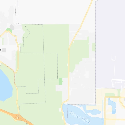
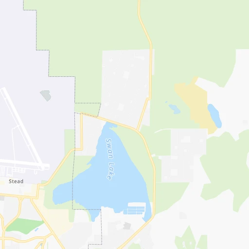
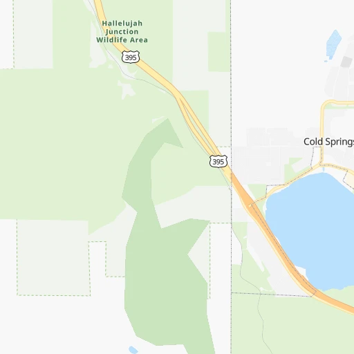
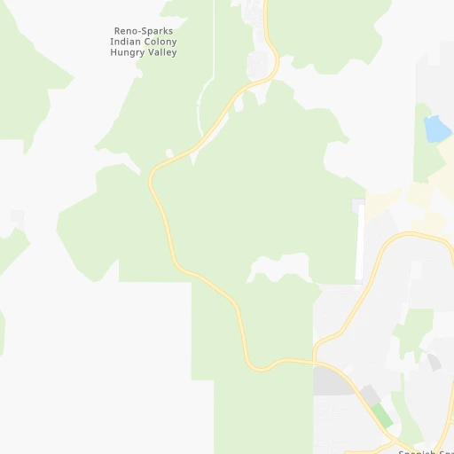
Roadmap (route) to go from Reno Stead Airport to Mesquite detailed above, you can also see the course layout on the map.
While doing trip Reno Stead (airport) - Mesquite by car, the calculated route ends at a distance , or more straight.
Distance and duration of the route between Reno Stead (airport) and Mesquite
Calculation of distance and route from Mesquite to Reno Stead (airport) :
598.7821.5 km9h8mn
Continue 0h2mn 646 mTurn right 0h5mn 1.6 kmKeep right 0h8mn 2.8 kmKeep left 0h4mn 1.3 kmContinue onto Bravo Avenue 0h0mn 405 mTurn left onto Mount Limbo Street 0h1mn 582 mTurn left onto Military Road 0h4mn 3.9 kmKeep right 0h2mn 1.5 kmKeep left and take US 395 toward Reno, Carson City 0h6mn 10.0 kmKeep right and take I 80 toward Sparks, Elko, Reno, Sacramento 0h0mn 168 mKeep left and take I 80 toward Sparks, Elko 0h19mn 29.0 kmKeep right and take NV 439 South toward Yerington, Las Vegas 0h0mn 413 mKeep right and take NV 439 South toward Yerington, Las Vegas 0h26mn 30.6 kmAt roundabout, take exit 1 onto US 50 0h1mn 1.2 kmKeep left 0h0mn 249 mTurn slight left onto Ramsey Weeks Cutoff 0h5mn 5.5 kmTurn right onto US 95 ALT 0h25mn 37.0 kmTurn left onto Miller Lane 0h7mn 8.0 kmTurn left onto Pete Hendrichs Road 0h6mn 7.1 kmTurn left onto US 95 ALT 0h15mn 25.1 kmKeep right 0h0mn 90 mTurn slight right onto Veterans Memorial Highway 1h35mn 52.6 kmTurn left onto Freedom Road 0h2mn 2.1 kmTurn left onto Veterans Memorial Highway 1h9mn 110.5 kmTurn right onto Silver Peak Road 0h19mn 32.9 kmTurn left onto Galena Street 0h0mn 173 mTurn left onto Mohawk Lane 0h0mn 46 mTurn right onto Windsor Drive 0h1mn 374 mContinue onto Silver Peak Road 1h31mn 39.4 kmTurn right onto Veterans Memorial Highway 1h12mn 114.7 kmTurn left onto South Second Street 2h40mn 165.3 kmKeep right toward CC 215 East 0h1mn 1.0 kmKeep left toward CC 215 East 0h13mn 20.5 kmKeep left and take I 15 North, US 93 North toward Ely, Salt Lake City 1h2mn 110.3 kmKeep right 0h1mn 608 mAt roundabout, take exit 2 onto West Mesquite Boulevard 0h4mn 3.2 kmTurn left onto Desert Drive 0h0mn 154 mTurn right onto West First North Street 0h0mn 345 mArrive at destination 0h0mn 0 m
Travel from Reno Stead (airport) (Nevada) to a selection of major cities.
Distances from Reno Stead Airport to biggest cities in Nevada
Other major cities in country :
- Charlotte [NC], 827,097 inhabitants. 3,458 km
- Seattle [WA], 684,451 inhabitants. 905 km
- Denver [CO], 682,545 inhabitants. 1,274 km
- El Paso [TX], 681,124 inhabitants. 1,494 km
- Detroit [MI], 677,116 inhabitants. 3,084 km
- Boston [MA], 667,137 inhabitants. 4,055 km
- Memphis [TN], 655,770 inhabitants. 2,672 km
- New South Memphis [TN], 641,608 inhabitants. 2,674 km
- Portland [OR], 632,309 inhabitants. 691 km
- Oklahoma City [OK], 631,346 inhabitants. 2,022 km
- Baltimore [MD], 621,849 inhabitants. 3,681 km
- Washington, D.C. [DC], 601,723 inhabitants. 3,657 km
- Milwaukee [WI], 600,155 inhabitants. 2,681 km
- South Boston [MA], 571,281 inhabitants. 4,056 km
- Albuquerque [NM], 559,121 inhabitants. 1,275 km
- Tucson [AZ], 531,641 inhabitants. 1,156 km
- Nashville [TN], 530,852 inhabitants. 2,916 km
- Fresno [CA], 520,052 inhabitants. 326 km
- Sacramento [CA], 490,712 inhabitants. 185 km
- Kansas City [MO], 475,378 inhabitants. 2,170 km
Route from Mesquite to major cities (United States).
- Distance Mesquite New York City3,474 km
- Distance Mesquite Los Angeles487 km
- Distance Mesquite Chicago2,333 km
- Distance Mesquite Brooklyn3,480 km
- Distance Mesquite Houston1,905 km
- Distance Mesquite Queens3,489 km
- Distance Mesquite Philadelphia3,386 km
- Distance Mesquite Phoenix415 km
- Distance Mesquite Manhattan3,477 km
- Distance Mesquite San Antonio1,665 km
- Distance Mesquite San Diego536 km
- Distance Mesquite The Bronx3,484 km
- Distance Mesquite Dallas1,638 km
- Distance Mesquite San Jose698 km
- Distance Mesquite Austin1,677 km
- Distance Mesquite Jacksonville3,076 km
- Distance Mesquite San Francisco747 km
- Distance Mesquite Columbus2,720 km
- Distance Mesquite Fort Worth1,595 km
- Distance Mesquite Indianapolis2,451 km
Nearest cities to Reno Stead (airport) :
- San Jose, 1,026,908 inhabitants. 313 km
- San Francisco, 864,816 inhabitants. 305 km
- Fresno, 520,052 inhabitants. 326 km
- Sacramento, 490,712 inhabitants. 185 km
- Oakland, 419,267 inhabitants. 294 km
- Stockton, 305,658 inhabitants. 227 km
- Reno, 241,445 inhabitants. 17 km
- Fremont, 232,206 inhabitants. 299 km
- Modesto, 211,266 inhabitants. 246 km
- Santa Rosa, 174,972 inhabitants. 281 km
- Elk Grove, 166,913 inhabitants. 191 km
- Hayward, 158,289 inhabitants. 294 km
- Salinas, 157,380 inhabitants. 368 km
- Sunnyvale, 151,754 inhabitants. 318 km
- Roseville, 130,269 inhabitants. 159 km
- Concord, 128,667 inhabitants. 265 km
- Santa Clara, 126,215 inhabitants. 315 km
- Vallejo, 121,253 inhabitants. 270 km
- Berkeley, 120,972 inhabitants. 289 km
- Fairfield, 112,970 inhabitants. 245 km
- Antioch, 110,542 inhabitants. 250 km
- Richmond, 109,708 inhabitants. 288 km
- Daly City, 106,562 inhabitants. 313 km
- Clovis, 104,180 inhabitants. 317 km
- San Mateo, 103,536 inhabitants. 317 km
- Chinatown, 100,574 inhabitants. 303 km
- Vacaville, 96,803 inhabitants. 234 km
- Sparks, 96,094 inhabitants. 19 km
- Arden-Arcade, 92,186 inhabitants. 176 km
- Redding, 91,582 inhabitants. 237 km
- San Leandro, 90,712 inhabitants. 293 km
- Chico, 90,316 inhabitants. 168 km
- Livermore, 88,126 inhabitants. 276 km
- Tracy, 87,075 inhabitants. 254 km
- Citrus Heights, 87,056 inhabitants. 162 km
- Redwood City, 85,288 inhabitants. 318 km
- Merced, 82,436 inhabitants. 269 km
- Mountain View, 80,435 inhabitants. 319 km
- Napa, 80,434 inhabitants. 258 km
- Medford, 79,805 inhabitants. 388 km
- Pleasanton, 79,510 inhabitants. 283 km
- Alameda, 78,630 inhabitants. 295 km
- Milpitas, 77,604 inhabitants. 306 km
- Folsom, 76,375 inhabitants. 157 km
- San Ramon, 76,134 inhabitants. 278 km
- Manteca, 75,448 inhabitants. 239 km
- Union City, 74,494 inhabitants. 297 km
- Turlock, 72,292 inhabitants. 256 km
- Rancho Cordova, 71,017 inhabitants. 172 km
- Pittsburg, 69,424 inhabitants. 252 km
Location Reno Stead (airport) (Nevada) :
| Country flag |  |
| Location | Reno Stead (airport) |
| State | Nevada |
| County | Washoe County |
| Country | United States |
| Country code / ISO 2 | US |
| Latitude | 39.6710200 |
| Longitude | -119.8785300 |
| Altitude | 1533 meters |
| Time zone | America/Los_Angeles |
Location Mesquite (Nevada) :
| Country flag | |
| Location | Mesquite |
| State | Nevada |
| County | Clark County |
| Country | United States |
| Country code / ISO 2 | US |
| Latitude | 36.8055300 |
| Longitude | -114.0671900 |
| Altitude | 488 meters |
| Time zone | America/Los_Angeles |


