

How to get from Pahute Mesa Airstrip (Nevada) to Carson City (Nevada)
Calculate route from Pahute Mesa Airstrip (Nevada, United States) to Carson City (Nevada, United States).
The flight distance (as the crow flies) between Pahute Mesa Airstrip and Carson City is 378.8 km.
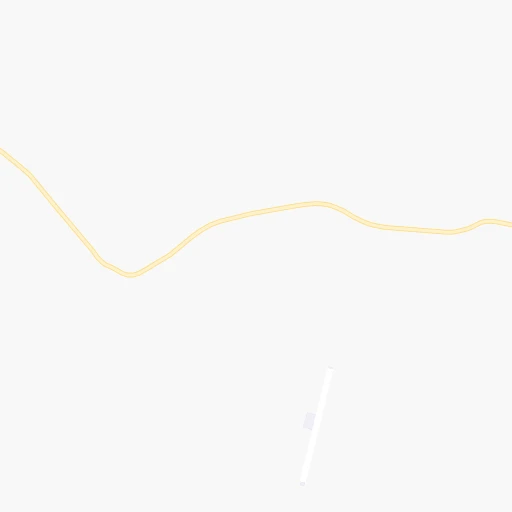
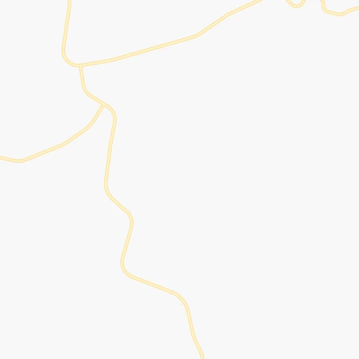
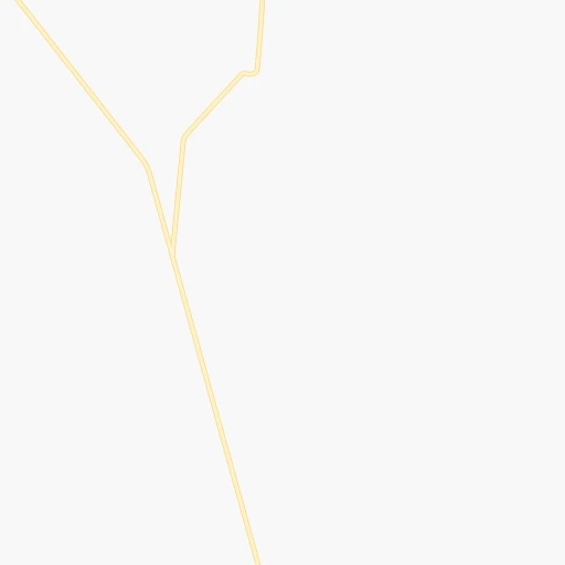
Roadmap (route) to go from Pahute Mesa Airstrip to Carson City detailed above, you can also see the course layout on the map.
While doing trip Pahute Mesa Airstrip - Carson City by car, the calculated route ends at a distance , or more straight.
Distance and duration of the route between Pahute Mesa Airstrip and Carson City
Calculation of distance and route from Carson City to Pahute Mesa Airstrip :
378.8530.4 km8h14mn
Continue 0h1mn 392 mTurn sharp left 0h3mn 1.1 kmTurn slight left onto Tippipah Spring Road 0h12mn 6.1 kmKeep right 0h8mn 4.0 kmKeep right 0h12mn 6.0 kmKeep left 0h2mn 997 mKeep right onto East Cat Canyon 2h37mn 25.8 kmTurn slight right onto East Oasis Valley Road 0h8mn 2.2 kmKeep left 0h0mn 21 mTurn left 0h24mn 6.4 kmKeep left onto Fleur de Lis Road 0h6mn 1.6 kmTurn sharp right onto Veterans Memorial Highway 1h4mn 103.6 kmTurn left onto Silver Peak Road 1h31mn 39.4 kmKeep right onto Windsor Drive 0h1mn 374 mTurn left onto Mohawk Lane 0h0mn 46 mTurn right onto Galena Street 0h0mn 173 mTurn right onto Silver Peak Road 0h19mn 32.9 kmTurn left onto Grand Army of the Republic Highway, Veterans Memorial Highway 1h9mn 110.3 kmKeep right onto US 95 Truck 0h0mn 247 mTurn slight right onto Freedom Road 0h2mn 1.9 kmKeep right onto US 95 Truck 0h0mn 98 mTurn slight right onto Veterans Memorial Highway 1h35mn 52.6 kmTurn left onto US 95 ALT 0h15mn 25.1 kmTurn right onto Pete Hendrichs Road 0h6mn 7.1 kmTurn right onto Aiazzi Lane 0h7mn 8.0 kmTurn right onto US 95 ALT 0h25mn 37.0 kmTurn left onto Ramsey Weeks Cutoff 1h42mn 53.8 kmKeep left onto US 50 and take I 580 South, US 395 South, US 50 West toward Minden, Gardnerville, South Lake Tahoe 0h0mn 49 mTurn right and drive toward Downtown Carson City 0h2mn 2.1 kmTurn left onto North Stewart Street 0h1mn 649 mTurn right onto East Musser Street 0h0mn 217 mTurn left onto North Carson Street 0h0mn 87 mArrive at destination 0h0mn 0 m
Travel from Pahute Mesa Airstrip (Nevada) to a selection of major cities.
Distances from Pahute Mesa Airstrip to biggest cities in Nevada
Other major cities in country :
- Charlotte [NC], 827,097 inhabitants. 3,176 km
- Seattle [WA], 684,451 inhabitants. 1,269 km
- Denver [CO], 682,545 inhabitants. 1,030 km
- El Paso [TX], 681,124 inhabitants. 1,080 km
- Detroit [MI], 677,116 inhabitants. 2,888 km
- Boston [MA], 667,137 inhabitants. 3,872 km
- Memphis [TN], 655,770 inhabitants. 2,364 km
- New South Memphis [TN], 641,608 inhabitants. 2,365 km
- Portland [OR], 632,309 inhabitants. 1,077 km
- Oklahoma City [OK], 631,346 inhabitants. 1,694 km
- Baltimore [MD], 621,849 inhabitants. 3,454 km
- Washington, D.C. [DC], 601,723 inhabitants. 3,425 km
- Milwaukee [WI], 600,155 inhabitants. 2,495 km
- South Boston [MA], 571,281 inhabitants. 3,873 km
- Albuquerque [NM], 559,121 inhabitants. 897 km
- Tucson [AZ], 531,641 inhabitants. 734 km
- Nashville [TN], 530,852 inhabitants. 2,629 km
- Fresno [CA], 520,052 inhabitants. 310 km
- Sacramento [CA], 490,712 inhabitants. 484 km
- Kansas City [MO], 475,378 inhabitants. 1,912 km
Route from Carson City to major cities (United States).
- Distance Carson City New York City3,865 km
- Distance Carson City Los Angeles585 km
- Distance Carson City Chicago2,719 km
- Distance Carson City Brooklyn3,871 km
- Distance Carson City Houston2,462 km
- Distance Carson City Queens3,880 km
- Distance Carson City Philadelphia3,789 km
- Distance Carson City Phoenix938 km
- Distance Carson City Manhattan3,867 km
- Distance Carson City San Antonio2,229 km
- Distance Carson City San Diego755 km
- Distance Carson City The Bronx3,873 km
- Distance Carson City Dallas2,180 km
- Distance Carson City San Jose275 km
- Distance Carson City Austin2,237 km
- Distance Carson City Jacksonville3,593 km
- Distance Carson City San Francisco278 km
- Distance Carson City Columbus3,134 km
- Distance Carson City Fort Worth2,139 km
- Distance Carson City Indianapolis2,872 km
Nearest cities to Pahute Mesa Airstrip :
- Las Vegas, 623,747 inhabitants. 147 km
- Bakersfield, 373,640 inhabitants. 310 km
- Henderson, 285,667 inhabitants. 168 km
- North Las Vegas, 234,807 inhabitants. 147 km
- Paradise, 223,167 inhabitants. 153 km
- San Bernardino, 216,108 inhabitants. 345 km
- Oxnard, 207,254 inhabitants. 414 km
- Glendale, 201,020 inhabitants. 373 km
- Sunrise Manor, 189,372 inhabitants. 149 km
- Santa Clarita, 182,371 inhabitants. 363 km
- Spring Valley, 178,395 inhabitants. 146 km
- Rancho Cucamonga, 175,236 inhabitants. 353 km
- Lancaster, 161,103 inhabitants. 314 km
- Palmdale, 158,351 inhabitants. 325 km
- Valencia, 148,456 inhabitants. 361 km
- Pasadena, 142,250 inhabitants. 368 km
- Van Nuys, 136,443 inhabitants. 378 km
- Visalia, 130,104 inhabitants. 279 km
- Thousand Oaks, 129,339 inhabitants. 398 km
- Simi Valley, 126,788 inhabitants. 386 km
- Victorville, 122,225 inhabitants. 299 km
- Enterprise, 108,481 inhabitants. 154 km
- Burbank, 105,319 inhabitants. 372 km
- Universal City, 105,000 inhabitants. 378 km
- Rialto, 103,132 inhabitants. 347 km
- Ventura, 96,769 inhabitants. 414 km
- Hesperia, 93,295 inhabitants. 311 km
- North Hollywood, 77,848 inhabitants. 376 km
- Saint George, 72,897 inhabitants. 242 km
- Apple Valley, 72,174 inhabitants. 300 km
- Woodland Hills, 70,000 inhabitants. 387 km
- Northridge, 68,469 inhabitants. 378 km
- Camarillo, 67,608 inhabitants. 405 km
- Canoga Park, 60,578 inhabitants. 383 km
- Arcadia, 58,408 inhabitants. 365 km
- North Hills, 56,946 inhabitants. 375 km
- Porterville, 56,058 inhabitants. 268 km
- Highland, 54,854 inhabitants. 341 km
- Lake Havasu City, 53,553 inhabitants. 343 km
- Delano, 52,733 inhabitants. 302 km
- Sherman Oaks, 52,677 inhabitants. 381 km
- Glendora, 52,009 inhabitants. 359 km
- Azusa, 49,690 inhabitants. 361 km
- Encino, 44,581 inhabitants. 383 km
- Altadena, 42,777 inhabitants. 364 km
- West Hills, 41,426 inhabitants. 386 km
- Chatsworth, 41,255 inhabitants. 378 km
- Bullhead City, 39,445 inhabitants. 268 km
- Whitney, 38,585 inhabitants. 160 km
- Monrovia, 37,463 inhabitants. 363 km
Location Pahute Mesa Airstrip (Nevada) :
| Country flag |  |
| Location | Pahute Mesa Airstrip |
| State | Nevada |
| County | Nye County |
| Country | United States |
| Country code / ISO 2 | US |
| Latitude | 37.1034900 |
| Longitude | -116.3136800 |
| Altitude | 1536 meters |
| Time zone | America/Los_Angeles |
Location Carson City (Nevada) :
| Country flag | |
| Location | Carson City |
| State | Nevada |
| County | Carson City |
| Country | United States |
| Country code / ISO 2 | US |
| Latitude | 39.1638000 |
| Longitude | -119.7674000 |
| Altitude | 1427 meters |
| Time zone | America/Los_Angeles |


