


How to get from Gardnerville Ranchos (Nevada) to Tracy (California)
Calculate route from Gardnerville Ranchos (Nevada, United States) to Tracy (California, United States).
The flight distance (as the crow flies) between Gardnerville Ranchos and Tracy is 194.6 km.
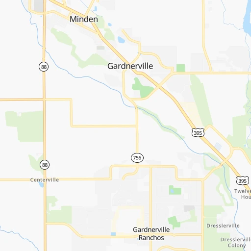
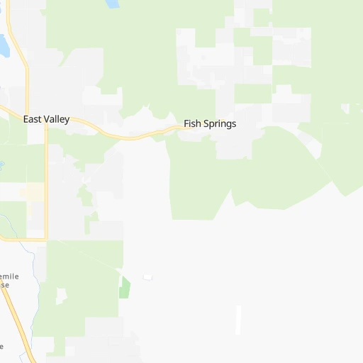
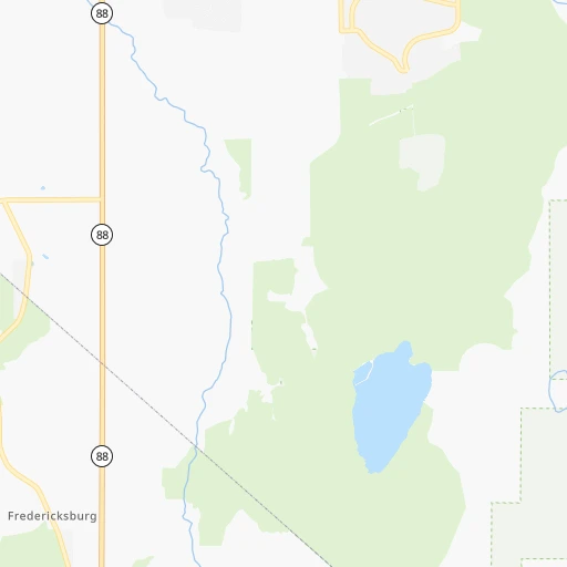
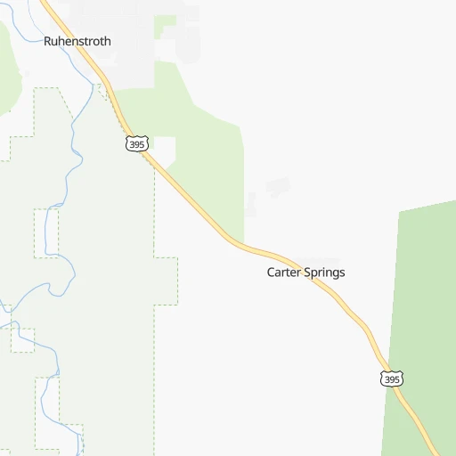
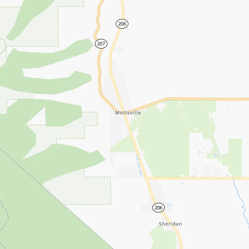
Roadmap (route) to go from Gardnerville Ranchos to Tracy detailed above, you can also see the course layout on the map.
While doing trip Gardnerville Ranchos - Tracy by car, the calculated route ends at a distance , or more straight.
Distance and duration of the route between Gardnerville Ranchos and Tracy
Calculation of distance and route from Tracy to Gardnerville Ranchos :
194.6241.8 km3h16mn
Continue onto Joette Drive 0h0mn 104 mTurn right onto Patricia Way 0h0mn 54 mTurn left onto Tillman Lane 0h2mn 1.1 kmKeep right onto Tillman Lane 0h4mn 2.2 kmKeep right onto Dressler Lane 0h4mn 2.0 kmTurn left onto NV 88 2h34mn 120.6 kmTurn right onto Ridge Road 0h5mn 4.9 kmTurn right onto Ridge Road 0h11mn 11.1 kmKeep right 0h0mn 92 mContinue onto CA 88, CA 104 0h19mn 25.6 kmAt roundabout, take exit 2 onto East Liberty Road 0h0mn 173 mTurn slight right onto CA 88 0h3mn 4.6 kmTurn right onto CA 12, CA 88 0h28mn 34.0 kmTurn slight left onto North Wilson Way 0h1mn 1.3 kmTurn right onto East Washington Street 0h0mn 23 mKeep left 0h1mn 1.6 kmKeep right onto CA 4 and take I 5 toward Sacramento 0h1mn 719 mKeep left onto CA 4 toward I 5 South 0h13mn 21.6 kmKeep left onto West Side Freeway 0h1mn 1.4 kmKeep right onto I 205 Bus 0h1mn 1.5 kmAt roundabout, take exit 2 onto East 11th Street 0h6mn 7.1 kmArrive at destination 0h0mn 0 m
Travel from Gardnerville Ranchos (California) to a selection of major cities.
Distances from Gardnerville Ranchos to biggest cities in Nevada
Other major cities in country :
- Charlotte [NC], 827,097 inhabitants. 3,453 km
- Seattle [WA], 684,451 inhabitants. 993 km
- Denver [CO], 682,545 inhabitants. 1,273 km
- El Paso [TX], 681,124 inhabitants. 1,440 km
- Detroit [MI], 677,116 inhabitants. 3,100 km
- Boston [MA], 667,137 inhabitants. 4,075 km
- Memphis [TN], 655,770 inhabitants. 2,660 km
- New South Memphis [TN], 641,608 inhabitants. 2,661 km
- Portland [OR], 632,309 inhabitants. 777 km
- Oklahoma City [OK], 631,346 inhabitants. 2,002 km
- Baltimore [MD], 621,849 inhabitants. 3,691 km
- Washington, D.C. [DC], 601,723 inhabitants. 3,665 km
- Milwaukee [WI], 600,155 inhabitants. 2,699 km
- South Boston [MA], 571,281 inhabitants. 4,076 km
- Albuquerque [NM], 559,121 inhabitants. 1,237 km
- Tucson [AZ], 531,641 inhabitants. 1,089 km
- Nashville [TN], 530,852 inhabitants. 2,909 km
- Fresno [CA], 520,052 inhabitants. 238 km
- Sacramento [CA], 490,712 inhabitants. 156 km
- Kansas City [MO], 475,378 inhabitants. 2,170 km
Route from Tracy to major cities (United States).
- Distance Tracy New York City4,053 km
- Distance Tracy Chicago2,906 km
- Distance Tracy Brooklyn4,059 km
- Distance Tracy Houston2,560 km
- Distance Tracy Queens4,068 km
- Distance Tracy Philadelphia3,973 km
- Distance Tracy Phoenix971 km
- Distance Tracy Manhattan4,055 km
- Distance Tracy San Antonio2,311 km
- Distance Tracy The Bronx4,062 km
- Distance Tracy Dallas2,297 km
- Distance Tracy Austin2,330 km
- Distance Tracy Jacksonville3,731 km
- Distance Tracy Columbus3,315 km
- Distance Tracy Fort Worth2,255 km
- Distance Tracy Indianapolis3,050 km
- Distance Tracy Charlotte3,615 km
- Distance Tracy Seattle1,101 km
- Distance Tracy Denver1,443 km
- Distance Tracy El Paso1,518 km
Nearest cities to Gardnerville Ranchos :
- San Jose, 1,026,908 inhabitants. 256 km
- San Francisco, 864,816 inhabitants. 265 km
- Fresno, 520,052 inhabitants. 238 km
- Sacramento, 490,712 inhabitants. 156 km
- Oakland, 419,267 inhabitants. 252 km
- Stockton, 305,658 inhabitants. 170 km
- Reno, 241,445 inhabitants. 72 km
- Fremont, 232,206 inhabitants. 247 km
- Modesto, 211,266 inhabitants. 177 km
- Santa Rosa, 174,972 inhabitants. 263 km
- Elk Grove, 166,913 inhabitants. 151 km
- Hayward, 158,289 inhabitants. 245 km
- Salinas, 157,380 inhabitants. 298 km
- Sunnyvale, 151,754 inhabitants. 263 km
- Roseville, 130,269 inhabitants. 135 km
- Visalia, 130,104 inhabitants. 287 km
- Concord, 128,667 inhabitants. 224 km
- Santa Clara, 126,215 inhabitants. 258 km
- Vallejo, 121,253 inhabitants. 236 km
- Berkeley, 120,972 inhabitants. 248 km
- Fairfield, 112,970 inhabitants. 212 km
- Antioch, 110,542 inhabitants. 205 km
- Richmond, 109,708 inhabitants. 251 km
- Daly City, 106,562 inhabitants. 272 km
- Clovis, 104,180 inhabitants. 230 km
- San Mateo, 103,536 inhabitants. 270 km
- Chinatown, 100,574 inhabitants. 263 km
- Vacaville, 96,803 inhabitants. 204 km
- Sparks, 96,094 inhabitants. 72 km
- Arden-Arcade, 92,186 inhabitants. 146 km
- Redding, 91,582 inhabitants. 295 km
- San Leandro, 90,712 inhabitants. 248 km
- Chico, 90,316 inhabitants. 203 km
- Livermore, 88,126 inhabitants. 222 km
- Tracy, 87,075 inhabitants. 195 km
- Citrus Heights, 87,056 inhabitants. 135 km
- Redwood City, 85,288 inhabitants. 268 km
- Merced, 82,436 inhabitants. 188 km
- Mountain View, 80,435 inhabitants. 265 km
- Napa, 80,434 inhabitants. 231 km
- Pleasanton, 79,510 inhabitants. 231 km
- Alameda, 78,630 inhabitants. 252 km
- Milpitas, 77,604 inhabitants. 250 km
- Folsom, 76,375 inhabitants. 127 km
- San Ramon, 76,134 inhabitants. 231 km
- Manteca, 75,448 inhabitants. 177 km
- Union City, 74,494 inhabitants. 246 km
- Turlock, 72,292 inhabitants. 183 km
- Rancho Cordova, 71,017 inhabitants. 140 km
- Pittsburg, 69,424 inhabitants. 210 km
Location Gardnerville Ranchos (Nevada) :
| Country flag |  |
| Location | Gardnerville Ranchos |
| State | Nevada |
| County | Douglas County |
| Country | United States |
| Country code / ISO 2 | US |
| Latitude | 38.8882400 |
| Longitude | -119.7412900 |
| Altitude | 1481 meters |
| Time zone | America/Los_Angeles |
Location Tracy (California) :
| Country flag | |
| Location | Tracy |
| State | California |
| County | San Joaquin County |
| Country | United States |
| Country code / ISO 2 | US |
| Latitude | 37.7398700 |
| Longitude | -121.4261800 |
| Altitude | 16 meters |
| Time zone | America/Los_Angeles |


