
How to get from Sanostee (airport) (New Mexico) to Carbondale (Colorado)
Calculate route from Sanostee (airport) (New Mexico, United States) to Carbondale (Colorado, United States).
The flight distance (as the crow flies) between Sanostee (airport) and Carbondale is 361.1 km.
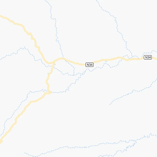
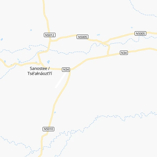
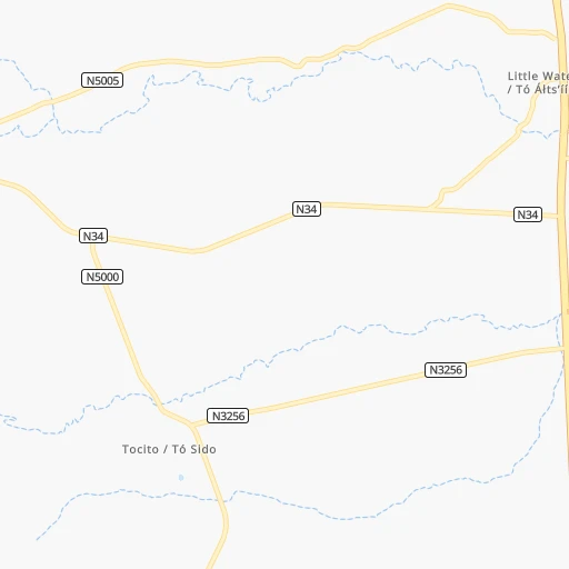
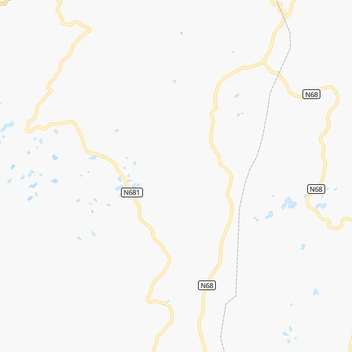
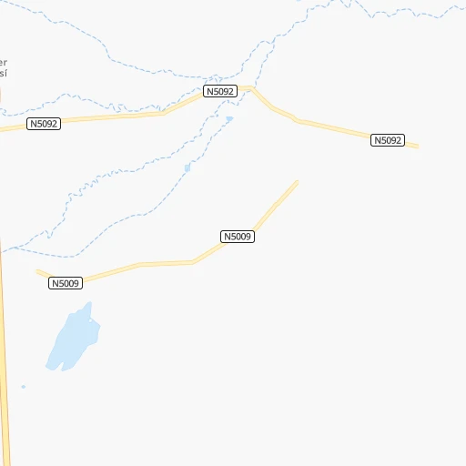
Roadmap (route) to go from Sanostee Airport to Carbondale detailed above, you can also see the course layout on the map.
While doing trip Sanostee (airport) - Carbondale by car, the calculated route ends at a distance , or more straight.
Distance and duration of the route between Sanostee (airport) and Carbondale
Calculation of distance and route from Carbondale to Sanostee (airport) :
361.1506.1 km7h8mn
Continue onto Navajo Route 34 0h11mn 11.0 kmKeep left onto Indian Service Route 5000 0h3mn 2.7 kmTurn left 0h0mn 38 mTurn right 0h0mn 97 mTurn left onto US 491 1h33mn 38.4 kmTurn left onto US 491 1h47mn 66.5 kmKeep left onto North Broadway 0h1mn 1.1 kmTurn right onto West Empire Street 0h3mn 3.1 kmTurn left onto North Dolores Road 2h43mn 113.6 kmAt roundabout, take exit 2 onto State Highway 145 0h19mn 20.5 kmTurn right onto CO 62 0h24mn 34.5 kmTurn left onto CR 24A 0h2mn 1.6 kmTurn right onto CR 24 0h7mn 3.5 kmTurn left onto US 550 1h48mn 66.1 kmTurn right onto D Road 0h4mn 4.4 kmTurn right onto F Road 0h4mn 4.9 kmTurn left onto 2200 Road 0h4mn 3.4 kmTurn right onto 2200 Road 0h3mn 2.5 kmTurn right onto State Highway 92 2h50mn 127.3 kmTurn right onto Weant Boulevard 0h1mn 571 mTurn right onto Main Street 0h0mn 119 mTurn left onto North 4th Street 0h0mn 186 mArrive at destination 0h0mn 0 m
Travel from Sanostee (airport) (Colorado) to a selection of major cities.
Distances from Sanostee Airport to biggest cities in New Mexico
Other major cities in country :
- Charlotte [NC], 827,097 inhabitants. 2,523 km
- Seattle [WA], 684,451 inhabitants. 1,666 km
- Denver [CO], 682,545 inhabitants. 501 km
- El Paso [TX], 681,124 inhabitants. 563 km
- Detroit [MI], 677,116 inhabitants. 2,306 km
- Boston [MA], 667,137 inhabitants. 3,290 km
- Memphis [TN], 655,770 inhabitants. 1,702 km
- New South Memphis [TN], 641,608 inhabitants. 1,702 km
- Portland [OR], 632,309 inhabitants. 1,537 km
- Oklahoma City [OK], 631,346 inhabitants. 1,027 km
- Las Vegas [NV], 623,747 inhabitants. 564 km
- Baltimore [MD], 621,849 inhabitants. 2,837 km
- Washington, D.C. [DC], 601,723 inhabitants. 2,804 km
- Milwaukee [WI], 600,155 inhabitants. 1,932 km
- South Boston [MA], 571,281 inhabitants. 3,291 km
- Tucson [AZ], 531,641 inhabitants. 505 km
- Nashville [TN], 530,852 inhabitants. 1,976 km
- Fresno [CA], 520,052 inhabitants. 976 km
- Sacramento [CA], 490,712 inhabitants. 1,140 km
- Kansas City [MO], 475,378 inhabitants. 1,290 km
Route from Carbondale to major cities (United States).
- Distance Carbondale New York City2,816 km
- Distance Carbondale Los Angeles1,149 km
- Distance Carbondale Chicago1,671 km
- Distance Carbondale Brooklyn2,822 km
- Distance Carbondale Houston1,524 km
- Distance Carbondale Queens2,831 km
- Distance Carbondale Philadelphia2,732 km
- Distance Carbondale Phoenix793 km
- Distance Carbondale Manhattan2,818 km
- Distance Carbondale San Antonio1,368 km
- Distance Carbondale San Diego1,163 km
- Distance Carbondale The Bronx2,826 km
- Distance Carbondale Dallas1,190 km
- Distance Carbondale San Jose1,300 km
- Distance Carbondale Austin1,333 km
- Distance Carbondale Jacksonville2,532 km
- Distance Carbondale San Francisco1,334 km
- Distance Carbondale Columbus2,069 km
- Distance Carbondale Fort Worth1,158 km
- Distance Carbondale Indianapolis1,802 km
Nearest cities to Sanostee (airport) :
- Albuquerque, 559,121 inhabitants. 249 km
- Enchanted Hills, 87,521 inhabitants. 238 km
- Rio Rancho, 87,521 inhabitants. 238 km
- Santa Fe, 84,099 inhabitants. 275 km
- Flagstaff, 70,320 inhabitants. 287 km
- Grand Junction, 60,358 inhabitants. 295 km
- Farmington, 42,871 inhabitants. 67 km
- South Valley, 40,976 inhabitants. 252 km
- Fountain Hills, 23,899 inhabitants. 407 km
- Gallup, 23,240 inhabitants. 100 km
- Clifton, 19,889 inhabitants. 299 km
- Montrose, 19,062 inhabitants. 245 km
- Durango, 18,006 inhabitants. 129 km
- Payson, 15,345 inhabitants. 331 km
- Los Lunas, 15,336 inhabitants. 264 km
- Fruita, 12,795 inhabitants. 305 km
- Los Alamos, 12,019 inhabitants. 237 km
- North Valley, 11,333 inhabitants. 245 km
- West Sedona, 11,299 inhabitants. 318 km
- Camp Verde, 11,155 inhabitants. 341 km
- Show Low, 10,860 inhabitants. 264 km
- Sedona, 10,388 inhabitants. 314 km
- Espanola, 10,224 inhabitants. 254 km
- Alamosa, 9,819 inhabitants. 290 km
- Winslow, 9,600 inhabitants. 228 km
- Grants, 9,239 inhabitants. 169 km
- Bernalillo, 8,843 inhabitants. 243 km
- Delta, 8,791 inhabitants. 267 km
- Socorro, 8,722 inhabitants. 318 km
- Cortez, 8,715 inhabitants. 106 km
- Redlands, 8,685 inhabitants. 296 km
- Tuba City, 8,611 inhabitants. 216 km
- Corrales, 8,502 inhabitants. 242 km
- Shiprock, 8,295 inhabitants. 43 km
- Kirtland, 7,875 inhabitants. 56 km
- Fruitvale, 7,675 inhabitants. 298 km
- Page, 7,490 inhabitants. 238 km
- Bloomfield, 7,314 inhabitants. 85 km
- Belen, 7,152 inhabitants. 272 km
- Aspen, 6,882 inhabitants. 357 km
- Ephraim, 6,857 inhabitants. 405 km
- Orchard Mesa, 6,836 inhabitants. 293 km
- Big Park, 6,695 inhabitants. 320 km
- Carbondale, 6,670 inhabitants. 362 km
- Zuni Pueblo, 6,302 inhabitants. 150 km
- Village of Oak Creek (Big Park), 6,147 inhabitants. 320 km
- Aztec, 6,147 inhabitants. 89 km
- Eldorado at Santa Fe, 6,130 inhabitants. 282 km
- Gunnison, 6,076 inhabitants. 292 km
- Los Ranchos de Albuquerque, 6,063 inhabitants. 245 km
Location Sanostee (airport) (New Mexico) :
| Country flag |  |
| Location | Sanostee (airport) |
| State | New Mexico |
| County | San Juan County |
| Country | United States |
| Country code / ISO 2 | US |
| Latitude | 36.4239000 |
| Longitude | -108.8595400 |
| Altitude | 1803 meters |
| Time zone | America/Denver |
Location Carbondale (Colorado) :
| Country flag | |
| Location | Carbondale |
| State | Colorado |
| County | Garfield County |
| Country | United States |
| Country code / ISO 2 | US |
| Latitude | 39.4022100 |
| Longitude | -107.2111600 |
| Altitude | 1881 meters |
| Time zone | America/Denver |