

How to get from Double Eagle II (airport) (New Mexico) to Silver City (New Mexico)
Calculate route from Double Eagle II (airport) (New Mexico, United States) to Silver City (New Mexico, United States).
The flight distance (as the crow flies) between Double Eagle II (airport) and Silver City is 297.3 km.
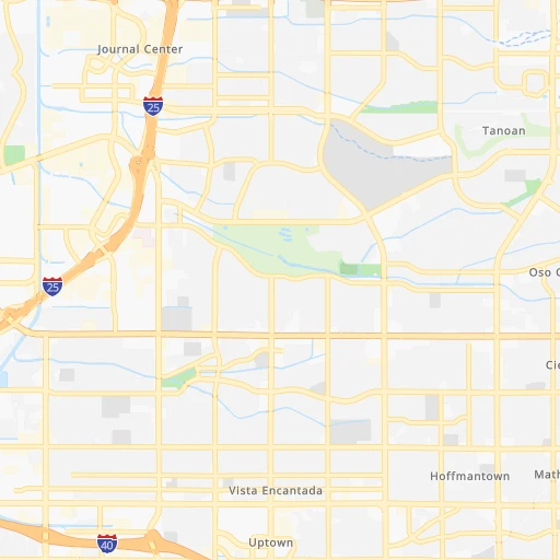
Roadmap (route) to go from Double Eagle II Airport to Silver City detailed above, you can also see the course layout on the map.
While doing trip Double Eagle II (airport) - Silver City by car, the calculated route ends at a distance , or more straight.
Distance and duration of the route between Double Eagle II (airport) and Silver City
Calculation of distance and route from Silver City to Double Eagle II (airport) :
297.3395.1 km5h44mn
Continue onto Double Eagle Airport Road Northwest 0h3mn 2.0 kmKeep right 0h0mn 197 mContinue onto Atrisco Vista Boulevard Northwest 0h11mn 11.3 kmTurn left onto Central Avenue Southwest 0h3mn 4.1 kmKeep right 0h4mn 3.8 kmTurn left onto Blake Road Southwest 0h2mn 2.3 kmTurn right onto Coors Boulevard Southwest 0h3mn 3.0 kmTurn slight right onto Coors Boulevard Southwest 0h1mn 1.1 kmTurn left onto Don Felipe Road Southwest 0h2mn 1.4 kmTurn right onto Beck Road Southwest 0h1mn 619 mTurn left onto Pajarito Road Southwest 0h1mn 619 mTurn right onto Isleta Boulevard Southwest 0h4mn 4.2 kmKeep right toward I 25 South 2h14mn 241.0 kmKeep right and drive toward Hillsboro 0h0mn 357 mTurn right onto NM 152 2h40mn 105.2 kmKeep right 0h14mn 13.3 kmKeep right 0h0mn 86 mTurn slight right onto East Broadway 0h1mn 448 mTurn left onto North Cooper Street 0h0mn 7 mArrive at destination 0h0mn 0 m
Travel from Double Eagle II (airport) (New Mexico) to a selection of major cities.
Distances from Double Eagle II Airport to biggest cities in New Mexico
Other major cities in country :
- Charlotte [NC], 827,097 inhabitants. 2,354 km
- Seattle [WA], 684,451 inhabitants. 1,893 km
- Denver [CO], 682,545 inhabitants. 536 km
- El Paso [TX], 681,124 inhabitants. 378 km
- Detroit [MI], 677,116 inhabitants. 2,203 km
- Boston [MA], 667,137 inhabitants. 3,179 km
- Memphis [TN], 655,770 inhabitants. 1,522 km
- New South Memphis [TN], 641,608 inhabitants. 1,522 km
- Portland [OR], 632,309 inhabitants. 1,769 km
- Oklahoma City [OK], 631,346 inhabitants. 843 km
- Las Vegas [NV], 623,747 inhabitants. 763 km
- Baltimore [MD], 621,849 inhabitants. 2,702 km
- Washington, D.C. [DC], 601,723 inhabitants. 2,666 km
- Milwaukee [WI], 600,155 inhabitants. 1,847 km
- South Boston [MA], 571,281 inhabitants. 3,180 km
- Tucson [AZ], 531,641 inhabitants. 502 km
- Nashville [TN], 530,852 inhabitants. 1,810 km
- Fresno [CA], 520,052 inhabitants. 1,182 km
- Sacramento [CA], 490,712 inhabitants. 1,362 km
- Kansas City [MO], 475,378 inhabitants. 1,169 km
Route from Silver City to major cities (United States).
- Distance Silver City New York City3,160 km
- Distance Silver City Los Angeles936 km
- Distance Silver City Chicago2,080 km
- Distance Silver City Brooklyn3,164 km
- Distance Silver City Houston1,273 km
- Distance Silver City Queens3,174 km
- Distance Silver City Philadelphia3,055 km
- Distance Silver City Phoenix362 km
- Distance Silver City Manhattan3,164 km
- Distance Silver City San Antonio1,004 km
- Distance Silver City San Diego832 km
- Distance Silver City The Bronx3,173 km
- Distance Silver City Dallas1,073 km
- Distance Silver City San Jose1,339 km
- Distance Silver City Austin1,038 km
- Distance Silver City Jacksonville2,534 km
- Distance Silver City San Francisco1,399 km
- Distance Silver City Columbus2,394 km
- Distance Silver City Fort Worth1,026 km
- Distance Silver City Indianapolis2,126 km
Nearest cities to Double Eagle II (airport) :
- Albuquerque, 559,121 inhabitants. 15 km
- Las Cruces, 101,643 inhabitants. 315 km
- Enchanted Hills, 87,521 inhabitants. 28 km
- Rio Rancho, 87,521 inhabitants. 15 km
- Santa Fe, 84,099 inhabitants. 98 km
- Roswell, 48,544 inhabitants. 286 km
- Farmington, 42,871 inhabitants. 218 km
- South Valley, 40,976 inhabitants. 18 km
- Alamogordo, 30,753 inhabitants. 262 km
- Carlsbad, 28,957 inhabitants. 385 km
- Gallup, 23,240 inhabitants. 182 km
- Durango, 18,006 inhabitants. 256 km
- Los Lunas, 15,336 inhabitants. 38 km
- Deming, 14,522 inhabitants. 332 km
- Las Vegas, 13,386 inhabitants. 151 km
- Artesia, 12,036 inhabitants. 338 km
- Los Alamos, 12,019 inhabitants. 94 km
- North Valley, 11,333 inhabitants. 16 km
- Espanola, 10,224 inhabitants. 114 km
- Silver City, 10,004 inhabitants. 298 km
- Alamosa, 9,819 inhabitants. 272 km
- Safford, 9,683 inhabitants. 372 km
- Grants, 9,239 inhabitants. 96 km
- Bernalillo, 8,843 inhabitants. 28 km
- Socorro, 8,722 inhabitants. 121 km
- Cortez, 8,715 inhabitants. 293 km
- Corrales, 8,502 inhabitants. 20 km
- Shiprock, 8,295 inhabitants. 250 km
- Trinidad, 8,153 inhabitants. 305 km
- Kirtland, 7,875 inhabitants. 226 km
- Ruidoso, 7,739 inhabitants. 227 km
- Bloomfield, 7,314 inhabitants. 205 km
- Belen, 7,152 inhabitants. 54 km
- Zuni Pueblo, 6,302 inhabitants. 187 km
- Raton, 6,187 inhabitants. 289 km
- Aztec, 6,147 inhabitants. 216 km
- Eldorado at Santa Fe, 6,130 inhabitants. 89 km
- Truth or Consequences, 6,079 inhabitants. 228 km
- Los Ranchos de Albuquerque, 6,063 inhabitants. 14 km
- Lee Acres, 5,858 inhabitants. 206 km
- Lee Acres, 5,858 inhabitants. 13 km
- Taos, 5,740 inhabitants. 179 km
- White Rock, 5,725 inhabitants. 93 km
- Los Chavez, 5,446 inhabitants. 47 km
- Thatcher, 4,992 inhabitants. 374 km
- Placitas, 4,977 inhabitants. 38 km
- Eagar, 4,869 inhabitants. 256 km
- Rio Communities, 4,723 inhabitants. 55 km
- Meadow Lake, 4,708 inhabitants. 45 km
- El Cerro Mission, 4,657 inhabitants. 45 km
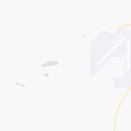
Location Double Eagle II (airport) (New Mexico) :
| Country flag |  |
| Location | Double Eagle II (airport) |
| State | New Mexico |
| County | Bernalillo County |
| Country | United States |
| Country code / ISO 2 | US |
| Latitude | 35.1450400 |
| Longitude | -106.7950300 |
| Altitude | 1771 meters |
| Time zone | America/Denver |
Location Silver City (New Mexico) :
| Country flag | |
| Location | Silver City |
| State | New Mexico |
| County | Grant County |
| Country | United States |
| Country code / ISO 2 | US |
| Latitude | 32.7700700 |
| Longitude | -108.2803300 |
| Altitude | 1809 meters |
| Time zone | America/Denver |

