
How to get from Cubero (airport) (New Mexico) to Kayenta (Arizona)
Calculate route from Cubero (airport) (New Mexico, United States) to Kayenta (Arizona, United States).
The flight distance (as the crow flies) between Cubero (airport) and Kayenta is 302.9 km.
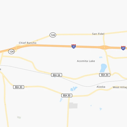
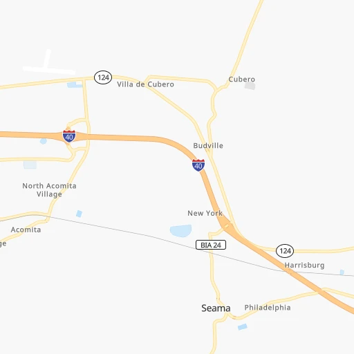
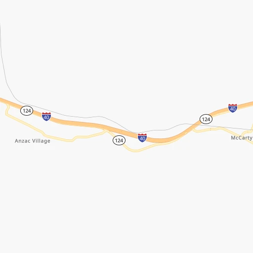
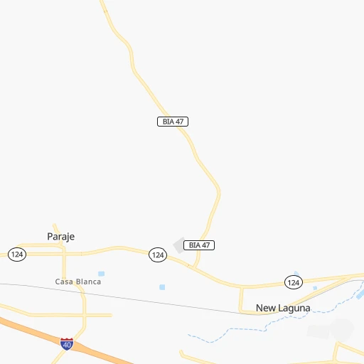
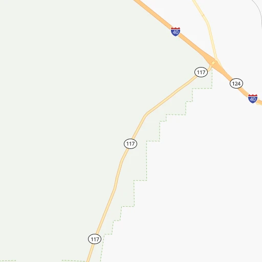
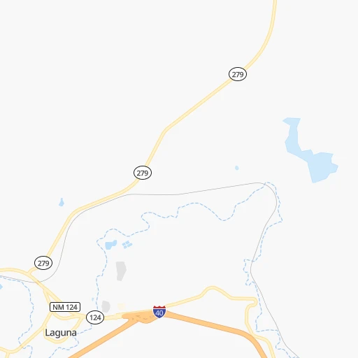
Roadmap (route) to go from Cubero Airport to Kayenta detailed above, you can also see the course layout on the map.
While doing trip Cubero (airport) - Kayenta by car, the calculated route ends at a distance , or more straight.
Distance and duration of the route between Cubero (airport) and Kayenta
Calculation of distance and route from Kayenta to Cubero (airport) :
302.9383.5 km5h54mn
Continue 0h1mn 524 mTurn right 0h0mn 154 mTurn right onto NM 124 0h7mn 8.9 kmTurn right 1h8mn 121.3 kmKeep right 0h0mn 461 mTurn right onto US 491 1h41mn 54.4 kmContinue onto AZ 264 0h28mn 39.4 kmAt roundabout, take exit 1 onto US 191, SR 264 1h5mn 71.3 kmTurn left onto Navajo Route 59 1h11mn 71.0 kmTurn left onto US 160 0h9mn 13.4 kmTurn right onto US 163 0h2mn 2.3 kmTurn left 0h0mn 198 mTurn left onto Comb Ridge Road 0h0mn 13 mArrive at destination 0h0mn 0 m
Travel from Cubero (airport) (Arizona) to a selection of major cities.
Distances from Cubero Airport to biggest cities in New Mexico
Other major cities in country :
- Charlotte [NC], 827,097 inhabitants. 2,425 km
- Seattle [WA], 684,451 inhabitants. 1,855 km
- Denver [CO], 682,545 inhabitants. 566 km
- El Paso [TX], 681,124 inhabitants. 384 km
- Detroit [MI], 677,116 inhabitants. 2,267 km
- Boston [MA], 667,137 inhabitants. 3,245 km
- Memphis [TN], 655,770 inhabitants. 1,593 km
- New South Memphis [TN], 641,608 inhabitants. 1,593 km
- Portland [OR], 632,309 inhabitants. 1,725 km
- Oklahoma City [OK], 631,346 inhabitants. 914 km
- Las Vegas [NV], 623,747 inhabitants. 696 km
- Baltimore [MD], 621,849 inhabitants. 2,771 km
- Washington, D.C. [DC], 601,723 inhabitants. 2,734 km
- Milwaukee [WI], 600,155 inhabitants. 1,909 km
- South Boston [MA], 571,281 inhabitants. 3,246 km
- Tucson [AZ], 531,641 inhabitants. 446 km
- Nashville [TN], 530,852 inhabitants. 1,881 km
- Fresno [CA], 520,052 inhabitants. 1,115 km
- Sacramento [CA], 490,712 inhabitants. 1,299 km
- Kansas City [MO], 475,378 inhabitants. 1,235 km
Route from Kayenta to major cities (United States).
- Distance Kayenta New York City3,157 km
- Distance Kayenta Los Angeles783 km
- Distance Kayenta Chicago2,023 km
- Distance Kayenta Brooklyn3,162 km
- Distance Kayenta Houston1,586 km
- Distance Kayenta Queens3,171 km
- Distance Kayenta Philadelphia3,065 km
- Distance Kayenta Manhattan3,160 km
- Distance Kayenta San Antonio1,364 km
- Distance Kayenta San Diego774 km
- Distance Kayenta The Bronx3,167 km
- Distance Kayenta Dallas1,305 km
- Distance Kayenta San Jose1,036 km
- Distance Kayenta Austin1,364 km
- Distance Kayenta Jacksonville2,736 km
- Distance Kayenta San Francisco1,083 km
- Distance Kayenta Columbus2,397 km
- Distance Kayenta Fort Worth1,263 km
- Distance Kayenta Indianapolis2,127 km
- Distance Kayenta Charlotte2,644 km
Nearest cities to Cubero (airport) :
- Albuquerque, 559,121 inhabitants. 83 km
- Las Cruces, 101,643 inhabitants. 318 km
- Enchanted Hills, 87,521 inhabitants. 93 km
- Rio Rancho, 87,521 inhabitants. 84 km
- Santa Fe, 84,099 inhabitants. 162 km
- Farmington, 42,871 inhabitants. 192 km
- South Valley, 40,976 inhabitants. 81 km
- Alamogordo, 30,753 inhabitants. 285 km
- Gallup, 23,240 inhabitants. 118 km
- Durango, 18,006 inhabitants. 245 km
- Los Lunas, 15,336 inhabitants. 82 km
- Deming, 14,522 inhabitants. 314 km
- Las Vegas, 13,386 inhabitants. 220 km
- Los Alamos, 12,019 inhabitants. 145 km
- North Valley, 11,333 inhabitants. 86 km
- Show Low, 10,860 inhabitants. 244 km
- Espanola, 10,224 inhabitants. 168 km
- Silver City, 10,004 inhabitants. 266 km
- Alamosa, 9,819 inhabitants. 306 km
- Safford, 9,683 inhabitants. 320 km
- Grants, 9,239 inhabitants. 27 km
- Bernalillo, 8,843 inhabitants. 95 km
- Socorro, 8,722 inhabitants. 130 km
- Cortez, 8,715 inhabitants. 268 km
- Corrales, 8,502 inhabitants. 89 km
- Shiprock, 8,295 inhabitants. 214 km
- Kirtland, 7,875 inhabitants. 197 km
- Ruidoso, 7,739 inhabitants. 262 km
- Bloomfield, 7,314 inhabitants. 185 km
- Belen, 7,152 inhabitants. 86 km
- Zuni Pueblo, 6,302 inhabitants. 117 km
- Aztec, 6,147 inhabitants. 197 km
- Eldorado at Santa Fe, 6,130 inhabitants. 156 km
- Truth or Consequences, 6,079 inhabitants. 220 km
- Los Ranchos de Albuquerque, 6,063 inhabitants. 84 km
- Lee Acres, 5,858 inhabitants. 184 km
- Lee Acres, 5,858 inhabitants. 84 km
- Taos, 5,740 inhabitants. 232 km
- White Rock, 5,725 inhabitants. 148 km
- Snowflake, 5,666 inhabitants. 238 km
- Los Chavez, 5,446 inhabitants. 84 km
- Kayenta, 5,189 inhabitants. 303 km
- Holbrook, 5,019 inhabitants. 237 km
- Thatcher, 4,992 inhabitants. 321 km
- Placitas, 4,977 inhabitants. 107 km
- Eagar, 4,869 inhabitants. 192 km
- Rio Communities, 4,723 inhabitants. 90 km
- Meadow Lake, 4,708 inhabitants. 99 km
- El Cerro Mission, 4,657 inhabitants. 92 km
- Chinle, 4,518 inhabitants. 215 km
Location Cubero (airport) (New Mexico) :
| Country flag |  |
| Location | Cubero (airport) |
| State | New Mexico |
| County | Cibola County |
| Country | United States |
| Country code / ISO 2 | US |
| Latitude | 35.0886800 |
| Longitude | -107.5651000 |
| Altitude | 1888 meters |
| Time zone | America/Denver |
Location Kayenta (Arizona) :
| Country flag | |
| Location | Kayenta |
| State | Arizona |
| County | Navajo County |
| Country | United States |
| Country code / ISO 2 | US |
| Latitude | 36.7277800 |
| Longitude | -110.2545800 |
| Altitude | 1719 meters |
| Time zone | America/Denver |
