


How to get from Carlsbad (New Mexico) to Levelland (Texas)
Calculate route from Carlsbad (New Mexico, United States) to Levelland (Texas, United States).
The flight distance (as the crow flies) between Carlsbad and Levelland is 215.8 km.
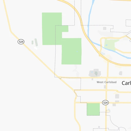
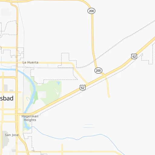
Roadmap (route) to go from Carlsbad to Levelland detailed above, you can also see the course layout on the map.
While doing trip Carlsbad - Levelland by car, the calculated route ends at a distance , or more straight.
Distance and duration of the route between Carlsbad and Levelland
Calculation of distance and route from Levelland to Carlsbad :
215.8262.6 km3h17mn
Continue onto North Canal Street 0h0mn 94 mMake a U-turn onto North Canal Street 0h0mn 409 mTurn left onto West Greene Street 1h8mn 90.9 kmTurn left onto South NM Highway 483 0h26mn 25.9 kmTurn right onto West Avenue R 0h0mn 118 mTurn left onto McAlister Drive 0h0mn 188 mTurn left onto South Main Avenue 1h44mn 57.7 kmKeep right 0h12mn 21.0 kmTurn left onto FM 1780 0h18mn 30.8 kmTurn right onto FM 301 0h11mn 11.4 kmTurn left onto South Slaughter Avenue 0h8mn 12.0 kmContinue onto North FM 303 0h0mn 472 mContinue onto West FM 300 0h7mn 10.1 kmTurn left onto Avenue H 0h1mn 1.4 kmTurn left onto Austin Street 0h0mn 59 mTurn right 0h0mn 115 mTurn right onto Houston Street 0h0mn 53 mArrive at destination 0h0mn 0 m
Travel from Carlsbad (Texas) to a selection of major cities.
Distances from Carlsbad to biggest cities in New Mexico
Other major cities in country :
- Charlotte [NC], 827,097 inhabitants. 2,180 km
- Seattle [WA], 684,451 inhabitants. 2,278 km
- Denver [CO], 682,545 inhabitants. 818 km
- El Paso [TX], 681,124 inhabitants. 225 km
- Detroit [MI], 677,116 inhabitants. 2,166 km
- Boston [MA], 667,137 inhabitants. 3,111 km
- Memphis [TN], 655,770 inhabitants. 1,345 km
- New South Memphis [TN], 641,608 inhabitants. 1,344 km
- Portland [OR], 632,309 inhabitants. 2,153 km
- Oklahoma City [OK], 631,346 inhabitants. 706 km
- Las Vegas [NV], 623,747 inhabitants. 1,086 km
- Baltimore [MD], 621,849 inhabitants. 2,595 km
- Washington, D.C. [DC], 601,723 inhabitants. 2,552 km
- Milwaukee [WI], 600,155 inhabitants. 1,855 km
- South Boston [MA], 571,281 inhabitants. 3,112 km
- Tucson [AZ], 531,641 inhabitants. 630 km
- Nashville [TN], 530,852 inhabitants. 1,655 km
- Fresno [CA], 520,052 inhabitants. 1,502 km
- Sacramento [CA], 490,712 inhabitants. 1,705 km
- Kansas City [MO], 475,378 inhabitants. 1,145 km
Route from Levelland to major cities (United States).
- Distance Levelland New York City2,626 km
- Distance Levelland Los Angeles1,467 km
- Distance Levelland Chicago1,586 km
- Distance Levelland Brooklyn2,630 km
- Distance Levelland Queens2,640 km
- Distance Levelland Philadelphia2,517 km
- Distance Levelland Phoenix900 km
- Distance Levelland Manhattan2,631 km
- Distance Levelland San Diego1,380 km
- Distance Levelland The Bronx2,640 km
- Distance Levelland San Jose1,815 km
- Distance Levelland Jacksonville1,987 km
- Distance Levelland San Francisco1,867 km
- Distance Levelland Columbus1,863 km
- Distance Levelland Indianapolis1,600 km
- Distance Levelland Charlotte1,982 km
- Distance Levelland Seattle2,285 km
- Distance Levelland Denver723 km
- Distance Levelland Detroit1,949 km
- Distance Levelland Boston2,897 km
Nearest cities to Carlsbad :
- El Paso, 681,124 inhabitants. 225 km
- Albuquerque, 559,121 inhabitants. 372 km
- Lubbock, 249,042 inhabitants. 256 km
- Amarillo, 198,645 inhabitants. 383 km
- Midland, 132,950 inhabitants. 208 km
- Odessa, 118,968 inhabitants. 187 km
- Las Cruces, 101,643 inhabitants. 240 km
- Enchanted Hills, 87,521 inhabitants. 391 km
- Rio Rancho, 87,521 inhabitants. 386 km
- Roswell, 48,544 inhabitants. 112 km
- South Valley, 40,976 inhabitants. 367 km
- Clovis, 39,480 inhabitants. 240 km
- Hobbs, 38,416 inhabitants. 107 km
- Socorro, 33,222 inhabitants. 214 km
- Alamogordo, 30,753 inhabitants. 171 km
- Carlsbad, 28,957 inhabitants. 0 km
- Big Spring, 28,862 inhabitants. 259 km
- Socorro Mission Number 1 Colonia, 28,637 inhabitants. 213 km
- West Odessa, 22,707 inhabitants. 175 km
- Plainview, 20,919 inhabitants. 306 km
- Horizon City, 19,288 inhabitants. 204 km
- Sunland Park, 15,940 inhabitants. 232 km
- Los Lunas, 15,336 inhabitants. 353 km
- Hereford, 15,021 inhabitants. 316 km
- Canyon, 14,887 inhabitants. 356 km
- Chaparral, 14,631 inhabitants. 208 km
- Levelland, 13,914 inhabitants. 216 km
- Andrews, 13,816 inhabitants. 159 km
- Artesia, 12,036 inhabitants. 50 km
- Portales, 11,995 inhabitants. 213 km
- Lovington, 11,800 inhabitants. 101 km
- North Valley, 11,333 inhabitants. 378 km
- Brownfield, 9,736 inhabitants. 202 km
- Pecos, 9,517 inhabitants. 131 km
- Lamesa, 9,427 inhabitants. 217 km
- Anthony, 9,293 inhabitants. 229 km
- San Elizario, 8,999 inhabitants. 214 km
- Bernalillo, 8,843 inhabitants. 386 km
- Socorro, 8,722 inhabitants. 308 km
- Fort Stockton, 8,649 inhabitants. 213 km
- Fort Bliss, 8,591 inhabitants. 217 km
- Corrales, 8,502 inhabitants. 383 km
- Fabens, 8,257 inhabitants. 209 km
- Ruidoso, 7,739 inhabitants. 169 km
- Monahans, 7,690 inhabitants. 156 km
- Seminole, 7,448 inhabitants. 152 km
- Homestead Meadows South, 7,247 inhabitants. 195 km
- Belen, 7,152 inhabitants. 344 km
- Kermit, 6,434 inhabitants. 124 km
- Canutillo, 6,321 inhabitants. 231 km
Location Carlsbad (New Mexico) :
| Country flag |  |
| Location | Carlsbad |
| State | New Mexico |
| County | Eddy County |
| Country | United States |
| Country code / ISO 2 | US |
| Latitude | 32.4206700 |
| Longitude | -104.2288400 |
| Altitude | 945 meters |
| Time zone | America/Denver |
Location Levelland (Texas) :
| Country flag | |
| Location | Levelland |
| State | Texas |
| County | Hockley County |
| Country | United States |
| Country code / ISO 2 | US |
| Latitude | 33.5873200 |
| Longitude | -102.3779600 |
| Altitude | 1073 meters |
| Time zone | America/Chicago |
