
How to get from Dighton (airport) (Kansas) to Ogallala (Nebraska)
Calculate route from Dighton (airport) (Kansas, United States) to Ogallala (Nebraska, United States).
The flight distance (as the crow flies) between Dighton (airport) and Ogallala is 311.6 km.
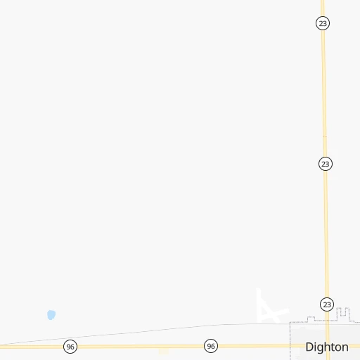
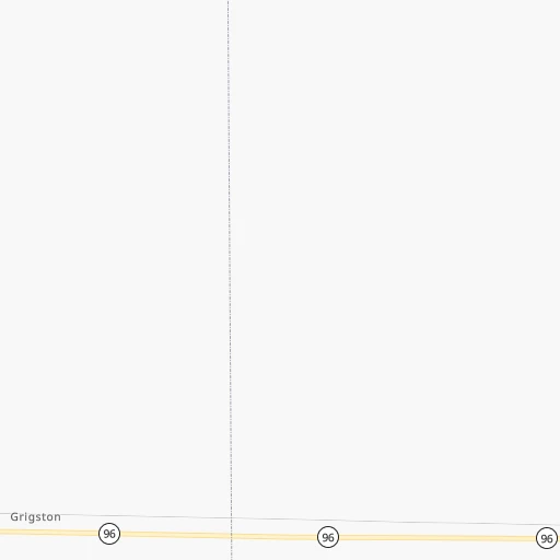
Roadmap (route) to go from Dighton Airport to Ogallala detailed above, you can also see the course layout on the map.
While doing trip Dighton (airport) - Ogallala by car, the calculated route ends at a distance , or more straight.
Distance and duration of the route between Dighton (airport) and Ogallala
Calculation of distance and route from Ogallala to Dighton (airport) :
311.6382.0 km5h1mn
Continue 0h1mn 424 mTurn sharp left 0h2mn 803 mTurn right onto County Road 160 0h2mn 814 mTurn left onto KS 23 0h16mn 16.1 kmTurn sharp right onto KS 23 1h57mn 57.1 kmTurn left onto KS 23 Alternate 0h3mn 2.9 kmTurn left onto KS 23 1h40mn 48.3 kmTurn left onto KS 23 0h7mn 7.9 kmKeep right onto KS 23 0h0mn 119 mTurn slight right onto KS 23 0h0mn 541 mContinue onto US 83 1h56mn 70.0 kmTurn left onto Drive 713 0h2mn 2.5 kmTurn right onto Road 384 0h2mn 2.9 kmTurn sharp left onto Drive 715 0h1mn 1.8 kmTurn left onto US 6, US 34 0h13mn 19.1 kmKeep right toward US 6 0h1mn 1.4 kmKeep right 0h0mn 134 mContinue onto US 6 1h47mn 73.2 kmTurn right onto 333 Avenue 0h25mn 38.5 kmTurn left onto Highway 23 0h2mn 3.3 kmTurn right onto Road 329 0h2mn 2.0 kmTurn left onto Road 761 0h1mn 1.6 kmTurn right onto Highway 61 0h20mn 30.1 kmContinue onto East A Street 0h0mn 403 mTurn left onto East 5th Street 0h0mn 100 mTurn left onto North Spruce Street 0h0mn 32 mArrive at destination 0h0mn 0 m
Travel from Dighton (airport) (Nebraska) to a selection of major cities.
Distances from Dighton Airport to biggest cities in Kansas
- Gardner,20,868 inhabitants.484 km
- Liberal,20,746 inhabitants.166 km
- Pittsburg,20,409 inhabitants.521 km
Other major cities in country :
- Charlotte [NC], 827,097 inhabitants. 1,783 km
- Seattle [WA], 684,451 inhabitants. 2,037 km
- Denver [CO], 682,545 inhabitants. 413 km
- El Paso [TX], 681,124 inhabitants. 927 km
- Detroit [MI], 677,116 inhabitants. 1,535 km
- Boston [MA], 667,137 inhabitants. 2,517 km
- Memphis [TN], 655,770 inhabitants. 1,000 km
- New South Memphis [TN], 641,608 inhabitants. 1,003 km
- Portland [OR], 632,309 inhabitants. 1,988 km
- Oklahoma City [OK], 631,346 inhabitants. 427 km
- Las Vegas [NV], 623,747 inhabitants. 1,321 km
- Baltimore [MD], 621,849 inhabitants. 2,064 km
- Washington, D.C. [DC], 601,723 inhabitants. 2,032 km
- Milwaukee [WI], 600,155 inhabitants. 1,173 km
- South Boston [MA], 571,281 inhabitants. 2,518 km
- Albuquerque [NM], 559,121 inhabitants. 668 km
- Tucson [AZ], 531,641 inhabitants. 1,176 km
- Nashville [TN], 530,852 inhabitants. 1,238 km
- Fresno [CA], 520,052 inhabitants. 1,709 km
- Sacramento [CA], 490,712 inhabitants. 1,826 km
Route from Ogallala to major cities (United States).
- Distance Ogallala New York City2,322 km
- Distance Ogallala Los Angeles1,653 km
- Distance Ogallala Chicago1,175 km
- Distance Ogallala Brooklyn2,328 km
- Distance Ogallala Houston1,389 km
- Distance Ogallala Queens2,336 km
- Distance Ogallala Philadelphia2,242 km
- Distance Ogallala Phoenix1,252 km
- Distance Ogallala Manhattan2,324 km
- Distance Ogallala San Antonio1,335 km
- Distance Ogallala San Diego1,659 km
- Distance Ogallala The Bronx2,331 km
- Distance Ogallala Dallas1,026 km
- Distance Ogallala San Jose1,786 km
- Distance Ogallala Austin1,261 km
- Distance Ogallala Jacksonville2,167 km
- Distance Ogallala San Francisco1,813 km
- Distance Ogallala Columbus1,586 km
- Distance Ogallala Fort Worth1,014 km
- Distance Ogallala Indianapolis1,325 km
Nearest cities to Dighton (airport) :
- Enid, 51,776 inhabitants. 327 km
- Grand Island, 51,440 inhabitants. 327 km
- Salina, 47,813 inhabitants. 252 km
- Hutchinson, 41,569 inhabitants. 228 km
- Kearney, 33,021 inhabitants. 274 km
- Dodge City, 27,912 inhabitants. 92 km
- Garden City, 27,005 inhabitants. 67 km
- Yukon, 25,892 inhabitants. 411 km
- Hastings, 24,924 inhabitants. 294 km
- North Platte, 24,194 inhabitants. 294 km
- Hays, 21,092 inhabitants. 109 km
- Liberal, 20,746 inhabitants. 166 km
- Bethany, 19,589 inhabitants. 417 km
- El Reno, 18,516 inhabitants. 398 km
- Pampa, 18,177 inhabitants. 332 km
- Great Bend, 15,717 inhabitants. 150 km
- Dumas, 15,001 inhabitants. 321 km
- Sterling, 14,104 inhabitants. 334 km
- McPherson, 13,144 inhabitants. 246 km
- Woodward, 12,993 inhabitants. 248 km
- Borger, 12,964 inhabitants. 325 km
- Weatherford, 12,126 inhabitants. 366 km
- Guymon, 11,921 inhabitants. 220 km
- Warr Acres, 10,431 inhabitants. 417 km
- Lexington, 10,075 inhabitants. 263 km
- Clinton, 9,565 inhabitants. 357 km
- The Village, 9,400 inhabitants. 417 km
- Perryton, 9,252 inhabitants. 234 km
- Dalhart, 8,370 inhabitants. 325 km
- York, 7,864 inhabitants. 362 km
- McCook, 7,580 inhabitants. 191 km
- Lamar, 7,555 inhabitants. 192 km
- Piedmont, 7,118 inhabitants. 399 km
- Sidney, 6,942 inhabitants. 364 km
- Pratt, 6,849 inhabitants. 179 km
- Ulysses, 6,097 inhabitants. 127 km
- Holdrege, 5,561 inhabitants. 237 km
- Colby, 5,417 inhabitants. 112 km
- Concordia, 5,218 inhabitants. 272 km
- Alva, 5,180 inhabitants. 246 km
- Kingfisher, 4,865 inhabitants. 370 km
- Goddard, 4,719 inhabitants. 271 km
- Ogallala, 4,570 inhabitants. 312 km
- Russell, 4,534 inhabitants. 148 km
- Aurora, 4,496 inhabitants. 339 km
- Goodland, 4,457 inhabitants. 143 km
- Larned, 3,967 inhabitants. 125 km
- Hugoton, 3,964 inhabitants. 165 km
- Nichols Hills, 3,887 inhabitants. 418 km
- Cozad, 3,863 inhabitants. 267 km
Location Dighton (airport) (Kansas) :
| Country flag |  |
| Location | Dighton (airport) |
| State | Kansas |
| County | Lane County |
| Country | United States |
| Country code / ISO 2 | US |
| Latitude | 38.4897700 |
| Longitude | -100.4808200 |
| Altitude | 845 meters |
| Time zone | America/Chicago |
Location Ogallala (Nebraska) :
| Country flag | |
| Location | Ogallala |
| State | Nebraska |
| County | Keith County |
| Country | United States |
| Country code / ISO 2 | US |
| Latitude | 41.1280500 |
| Longitude | -101.7196200 |
| Altitude | 982 meters |
| Time zone | America/Denver |


