
How to get from Silverthorne (Colorado) to Fountain (Colorado)
Calculate route from Silverthorne (Colorado, United States) to Fountain (Colorado, United States).
The flight distance (as the crow flies) between Silverthorne and Fountain is 158.6 km.
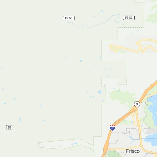
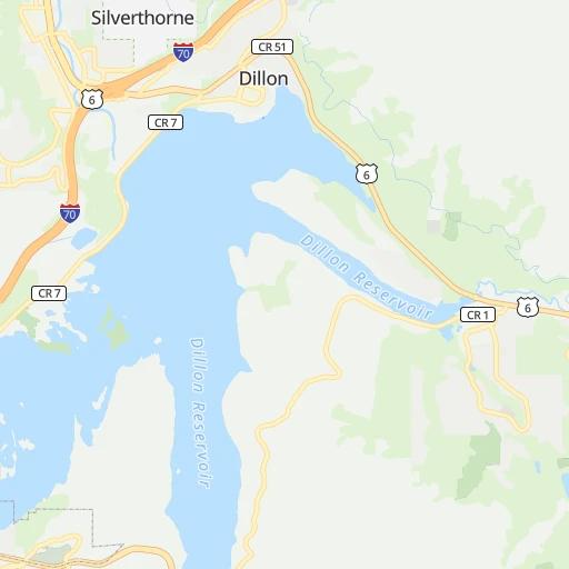
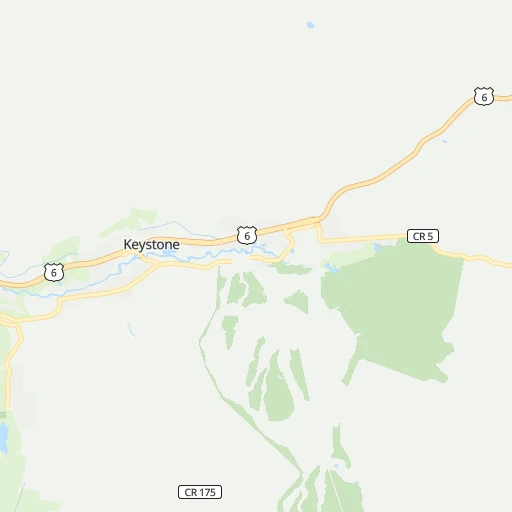
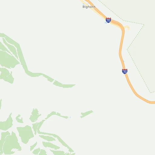
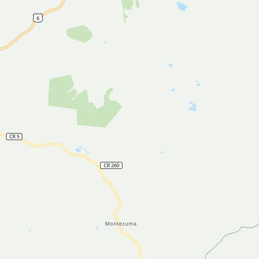
Roadmap (route) to go from Silverthorne to Fountain detailed above, you can also see the course layout on the map.
While doing trip Silverthorne - Fountain by car, the calculated route ends at a distance , or more straight.
Distance and duration of the route between Silverthorne and Fountain
Calculation of distance and route from Fountain to Silverthorne :
158.6210.2 km3h53mn
Continue onto Blue River Parkway 0h1mn 602 mKeep right onto CO 9 toward I 70 West, CO 9 South 0h3mn 4.5 kmKeep right onto CO 9 and take CO 9 toward Frisco, Breckenridge 0h0mn 389 mAt roundabout, take exit 3 onto State Highway 9 0h3mn 2.2 kmAt roundabout, take exit 2 onto State Highway 9 0h1mn 598 mAt roundabout, take exit 2 onto State Highway 9 0h7mn 8.2 kmAt roundabout, take exit 2 onto CO 9 0h4mn 3.9 kmContinue onto Main Street 0h0mn 104 mAt roundabout, take exit 1 onto Main Street 0h0mn 225 mTurn left onto Luisa Drive 0h0mn 215 mTurn left onto North French Street 0h2mn 968 mTurn right onto East Jefferson Avenue 0h0mn 84 mTurn left onto South Ridge Street 0h1mn 314 mTurn left onto South Main Street 0h30mn 33.6 kmContinue onto Main Street 0h2mn 978 mKeep right onto CO 9 0h1mn 1.7 kmTurn left onto CO 9 0h17mn 26.0 kmTurn left onto US 24, CO 9 1h54mn 64.2 kmContinue onto US 24 0h7mn 9.0 kmTurn right onto County Road 234 0h0mn 153 mTurn slight left onto West Road 0h1mn 665 mContinue onto South West Street 0h0mn 66 mTurn right onto West Valley Drive 0h2mn 904 mTurn right onto East Laura Lane 0h0mn 165 mTurn right onto Woodland Avenue 0h1mn 398 mTurn left onto Aspen Garden Way 0h0mn 257 mTurn right onto US 24 0h22mn 26.9 kmKeep right onto US 24 and take I 25 South, US 24 toward Pueblo 0h13mn 21.0 kmKeep right and take US 85 North toward Fountain 0h0mn 318 mKeep left and take US 85 North toward Fountain 0h0mn 61 mTurn left onto Santa Fe Avenue 0h1mn 1.1 kmTurn right onto West Illinois Avenue 0h0mn 338 mTurn left onto South Main Street 0h0mn 157 mArrive at destination 0h0mn 0 m
Travel from Silverthorne (Colorado) to a selection of major cities.
Distances from Silverthorne to biggest cities in Colorado
- Littleton,46,368 inhabitants.91 km
- Southglenn,42,268 inhabitants.96 km
- Northglenn,39,197 inhabitants.97 km
- Brighton,37,585 inhabitants.114 km
- Englewood,33,082 inhabitants.93 km
- Security-Widefield,32,882 inhabitants.153 km
- Ken Caryl,32,438 inhabitants.83 km
- Wheat Ridge,31,192 inhabitants.87 km
- Pueblo West,29,637 inhabitants.185 km
- Fountain,27,767 inhabitants.159 km
- Lafayette,27,729 inhabitants.93 km
- Castlewood,25,271 inhabitants.101 km
- Columbine,24,280 inhabitants.86 km
- Windsor,21,751 inhabitants.137 km
- Erie,21,420 inhabitants.99 km
- Evans,21,383 inhabitants.144 km
- Louisville,20,396 inhabitants.89 km
- Golden,20,330 inhabitants.74 km
Other major cities in country :
- Charlotte [NC], 827,097 inhabitants. 2,276 km
- Seattle [WA], 684,451 inhabitants. 1,578 km
- El Paso [TX], 681,124 inhabitants. 877 km
- Detroit [MI], 677,116 inhabitants. 1,952 km
- Boston [MA], 667,137 inhabitants. 2,937 km
- Memphis [TN], 655,770 inhabitants. 1,500 km
- New South Memphis [TN], 641,608 inhabitants. 1,502 km
- Portland [OR], 632,309 inhabitants. 1,507 km
- Oklahoma City [OK], 631,346 inhabitants. 886 km
- Las Vegas [NV], 623,747 inhabitants. 884 km
- Baltimore [MD], 621,849 inhabitants. 2,521 km
- Washington, D.C. [DC], 601,723 inhabitants. 2,493 km
- Milwaukee [WI], 600,155 inhabitants. 1,562 km
- South Boston [MA], 571,281 inhabitants. 2,938 km
- Albuquerque [NM], 559,121 inhabitants. 509 km
- Tucson [AZ], 531,641 inhabitants. 933 km
- Nashville [TN], 530,852 inhabitants. 1,734 km
- Fresno [CA], 520,052 inhabitants. 1,239 km
- Sacramento [CA], 490,712 inhabitants. 1,335 km
- Kansas City [MO], 475,378 inhabitants. 990 km
Route from Fountain to major cities (United States).
- Distance Fountain New York City2,625 km
- Distance Fountain Los Angeles1,317 km
- Distance Fountain Chicago1,488 km
- Distance Fountain Brooklyn2,631 km
- Distance Fountain Houston1,312 km
- Distance Fountain Queens2,640 km
- Distance Fountain Philadelphia2,536 km
- Distance Fountain Phoenix882 km
- Distance Fountain Manhattan2,628 km
- Distance Fountain San Antonio1,178 km
- Distance Fountain San Diego1,306 km
- Distance Fountain The Bronx2,636 km
- Distance Fountain Dallas969 km
- Distance Fountain San Jose1,513 km
- Distance Fountain Austin1,133 km
- Distance Fountain Jacksonville2,301 km
- Distance Fountain San Francisco1,550 km
- Distance Fountain Columbus1,870 km
- Distance Fountain Fort Worth940 km
- Distance Fountain Indianapolis1,601 km
Nearest cities to Silverthorne :
- Denver, 682,545 inhabitants. 94 km
- Colorado Springs, 456,568 inhabitants. 140 km
- Aurora, 359,407 inhabitants. 107 km
- Fort Collins, 161,175 inhabitants. 135 km
- Lakewood, 152,597 inhabitants. 85 km
- Thornton, 133,451 inhabitants. 98 km
- Arvada, 115,368 inhabitants. 87 km
- Westminster, 113,130 inhabitants. 92 km
- Centennial, 109,741 inhabitants. 103 km
- Pueblo, 109,412 inhabitants. 199 km
- Boulder, 107,349 inhabitants. 81 km
- Greeley, 100,883 inhabitants. 146 km
- Highlands Ranch, 96,713 inhabitants. 95 km
- Longmont, 92,088 inhabitants. 102 km
- Loveland, 75,182 inhabitants. 121 km
- Broomfield, 65,065 inhabitants. 90 km
- Cheyenne, 63,335 inhabitants. 199 km
- Grand Junction, 60,358 inhabitants. 222 km
- Castle Rock, 55,591 inhabitants. 109 km
- Commerce City, 53,696 inhabitants. 100 km
- Parker, 49,550 inhabitants. 113 km
- Littleton, 46,368 inhabitants. 91 km
- Farmington, 42,871 inhabitants. 374 km
- Southglenn, 42,268 inhabitants. 96 km
- Northglenn, 39,197 inhabitants. 97 km
- Brighton, 37,585 inhabitants. 114 km
- Englewood, 33,082 inhabitants. 93 km
- Security-Widefield, 32,882 inhabitants. 153 km
- Ken Caryl, 32,438 inhabitants. 83 km
- Laramie, 32,158 inhabitants. 191 km
- Wheat Ridge, 31,192 inhabitants. 87 km
- Pueblo West, 29,637 inhabitants. 185 km
- Fountain, 27,767 inhabitants. 159 km
- Lafayette, 27,729 inhabitants. 93 km
- Castlewood, 25,271 inhabitants. 101 km
- Columbine, 24,280 inhabitants. 86 km
- Windsor, 21,751 inhabitants. 137 km
- Erie, 21,420 inhabitants. 99 km
- Evans, 21,383 inhabitants. 144 km
- Louisville, 20,396 inhabitants. 89 km
- Golden, 20,330 inhabitants. 74 km
- Clifton, 19,889 inhabitants. 213 km
- Montrose, 19,062 inhabitants. 202 km
- Sherrelwood, 18,287 inhabitants. 95 km
- Durango, 18,006 inhabitants. 306 km
- Canon City, 16,400 inhabitants. 151 km
- Cimarron Hills, 16,161 inhabitants. 147 km
- Greenwood Village, 15,663 inhabitants. 96 km
- Johnstown, 14,896 inhabitants. 126 km
- Welby, 14,846 inhabitants. 98 km
Location Silverthorne (Colorado) :
| Country flag |  |
| Location | Silverthorne |
| State | Colorado |
| County | Summit County |
| Country | United States |
| Country code / ISO 2 | US |
| Latitude | 39.6321400 |
| Longitude | -106.0742800 |
| Altitude | 2669 meters |
| Time zone | America/Denver |
Location Fountain (Colorado) :
| Country flag | |
| Location | Fountain |
| State | Colorado |
| County | El Paso County |
| Country | United States |
| Country code / ISO 2 | US |
| Latitude | 38.6822200 |
| Longitude | -104.7008100 |
| Altitude | 1690 meters |
| Time zone | America/Denver |