


How to get from Orahood Airstrip (Colorado) to Dumas (Texas)
Calculate route from Orahood Airstrip (Colorado, United States) to Dumas (Texas, United States).
The flight distance (as the crow flies) between Orahood Airstrip and Dumas is 304.4 km.
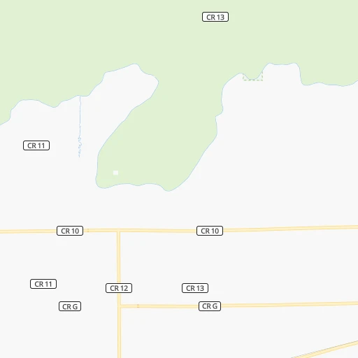
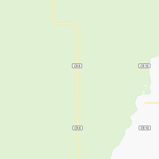
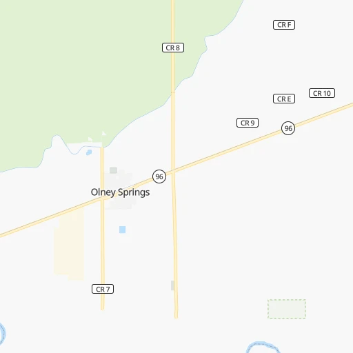
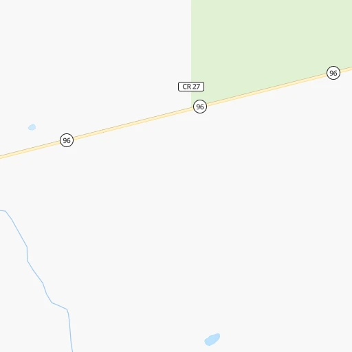
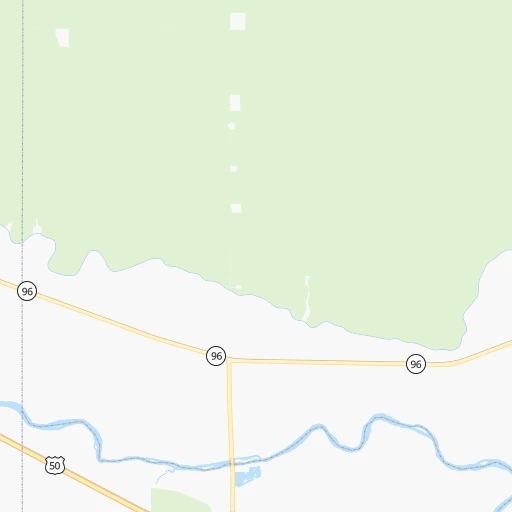
Roadmap (route) to go from Orahood Airstrip to Dumas detailed above, you can also see the course layout on the map.
While doing trip Orahood Airstrip - Dumas by car, the calculated route ends at a distance , or more straight.
Distance and duration of the route between Orahood Airstrip and Dumas
Calculation of distance and route from Dumas to Orahood Airstrip :
304.4370.1 km5h56mn
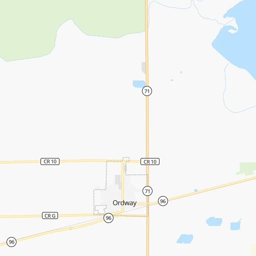
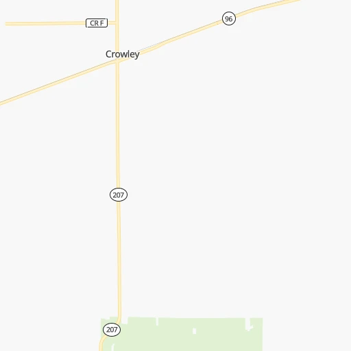
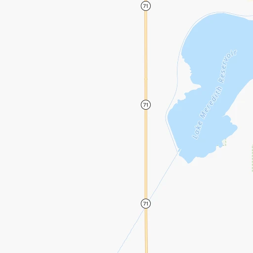
Continue onto Co Lane 17 0h0mn 144 mTurn left onto County Road F 0h3mn 1.6 kmTurn right onto State Highway 71 0h14mn 15.1 kmTurn left onto United States Highway 50 0h15mn 19.0 kmKeep right toward US 350 South 0h0mn 73 mTurn slight right onto Grant Avenue 0h0mn 336 mTurn left onto West 6th Street 0h0mn 326 mTurn right onto Barnes Avenue 0h0mn 403 mTurn left onto West 10th Street 0h1mn 498 mTurn right onto Carson Avenue 0h1mn 1.2 kmTurn left onto West 22nd Street 0h0mn 205 mTurn right onto San Juan Avenue 0h4mn 3.2 kmTurn left 0h1mn 656 mTurn right onto State Highway 109 1h15mn 84.0 kmTurn left onto US 160 1h36mn 39.8 kmKeep right onto County Road W 0h19mn 25.8 kmTurn right onto US 287, US 385, CR 26 2h2mn 174.3 kmTurn slight right onto North Dumas Avenue 0h3mn 3.4 kmArrive at destination 0h0mn 0 m
Travel from Orahood Airstrip (Texas) to a selection of major cities.
Distances from Orahood Airstrip to biggest cities in Colorado
- Littleton,46,368 inhabitants.191 km
- Southglenn,42,268 inhabitants.185 km
- Northglenn,39,197 inhabitants.215 km
- Brighton,37,585 inhabitants.218 km
- Englewood,33,082 inhabitants.193 km
- Security-Widefield,32,882 inhabitants.103 km
- Ken Caryl,32,438 inhabitants.192 km
- Wheat Ridge,31,192 inhabitants.208 km
- Pueblo West,29,637 inhabitants.85 km
- Fountain,27,767 inhabitants.98 km
- Lafayette,27,729 inhabitants.230 km
- Castlewood,25,271 inhabitants.183 km
- Columbine,24,280 inhabitants.191 km
- Windsor,21,751 inhabitants.272 km
- Erie,21,420 inhabitants.234 km
- Evans,21,383 inhabitants.255 km
- Louisville,20,396 inhabitants.230 km
- Golden,20,330 inhabitants.214 km
Other major cities in country :
- Charlotte [NC], 827,097 inhabitants. 2,067 km
- Seattle [WA], 684,451 inhabitants. 1,833 km
- El Paso [TX], 681,124 inhabitants. 759 km
- Detroit [MI], 677,116 inhabitants. 1,814 km
- Boston [MA], 667,137 inhabitants. 2,798 km
- Memphis [TN], 655,770 inhabitants. 1,270 km
- New South Memphis [TN], 641,608 inhabitants. 1,271 km
- Portland [OR], 632,309 inhabitants. 1,761 km
- Oklahoma City [OK], 631,346 inhabitants. 634 km
- Las Vegas [NV], 623,747 inhabitants. 1,033 km
- Baltimore [MD], 621,849 inhabitants. 2,352 km
- Washington, D.C. [DC], 601,723 inhabitants. 2,320 km
- Milwaukee [WI], 600,155 inhabitants. 1,441 km
- South Boston [MA], 571,281 inhabitants. 2,799 km
- Albuquerque [NM], 559,121 inhabitants. 432 km
- Tucson [AZ], 531,641 inhabitants. 931 km
- Nashville [TN], 530,852 inhabitants. 1,521 km
- Fresno [CA], 520,052 inhabitants. 1,422 km
- Sacramento [CA], 490,712 inhabitants. 1,545 km
- Kansas City [MO], 475,378 inhabitants. 805 km
Route from Dumas to major cities (United States).
- Distance Dumas New York City2,491 km
- Distance Dumas Los Angeles1,496 km
- Distance Dumas Chicago1,406 km
- Distance Dumas Brooklyn2,496 km
- Distance Dumas Queens2,505 km
- Distance Dumas Philadelphia2,389 km
- Distance Dumas Phoenix963 km
- Distance Dumas Manhattan2,495 km
- Distance Dumas San Diego1,439 km
- Distance Dumas The Bronx2,504 km
- Distance Dumas San Jose1,785 km
- Distance Dumas Jacksonville1,988 km
- Distance Dumas San Francisco1,831 km
- Distance Dumas Columbus1,724 km
- Distance Dumas Indianapolis1,455 km
- Distance Dumas Charlotte1,911 km
- Distance Dumas Seattle2,126 km
- Distance Dumas Denver506 km
- Distance Dumas Detroit1,781 km
- Distance Dumas Boston2,749 km
Nearest cities to Orahood Airstrip :
- Denver, 682,545 inhabitants. 201 km
- Colorado Springs, 456,568 inhabitants. 116 km
- Aurora, 359,407 inhabitants. 194 km
- Amarillo, 198,645 inhabitants. 374 km
- Fort Collins, 161,175 inhabitants. 289 km
- Lakewood, 152,597 inhabitants. 202 km
- Thornton, 133,451 inhabitants. 213 km
- Arvada, 115,368 inhabitants. 212 km
- Westminster, 113,130 inhabitants. 213 km
- Centennial, 109,741 inhabitants. 181 km
- Pueblo, 109,412 inhabitants. 74 km
- Boulder, 107,349 inhabitants. 240 km
- Greeley, 100,883 inhabitants. 260 km
- Highlands Ranch, 96,713 inhabitants. 183 km
- Longmont, 92,088 inhabitants. 247 km
- Enchanted Hills, 87,521 inhabitants. 406 km
- Rio Rancho, 87,521 inhabitants. 420 km
- Santa Fe, 84,099 inhabitants. 340 km
- Loveland, 75,182 inhabitants. 269 km
- Broomfield, 65,065 inhabitants. 223 km
- Cheyenne, 63,335 inhabitants. 339 km
- Castle Rock, 55,591 inhabitants. 161 km
- Commerce City, 53,696 inhabitants. 205 km
- Parker, 49,550 inhabitants. 170 km
- Littleton, 46,368 inhabitants. 191 km
- Southglenn, 42,268 inhabitants. 185 km
- Northglenn, 39,197 inhabitants. 215 km
- Brighton, 37,585 inhabitants. 218 km
- Englewood, 33,082 inhabitants. 193 km
- Security-Widefield, 32,882 inhabitants. 103 km
- Ken Caryl, 32,438 inhabitants. 192 km
- Wheat Ridge, 31,192 inhabitants. 208 km
- Pueblo West, 29,637 inhabitants. 85 km
- Fountain, 27,767 inhabitants. 98 km
- Lafayette, 27,729 inhabitants. 230 km
- Garden City, 27,005 inhabitants. 255 km
- Castlewood, 25,271 inhabitants. 183 km
- Columbine, 24,280 inhabitants. 191 km
- Windsor, 21,751 inhabitants. 272 km
- Erie, 21,420 inhabitants. 234 km
- Evans, 21,383 inhabitants. 255 km
- Liberal, 20,746 inhabitants. 282 km
- Louisville, 20,396 inhabitants. 230 km
- Golden, 20,330 inhabitants. 214 km
- Sherrelwood, 18,287 inhabitants. 211 km
- Pampa, 18,177 inhabitants. 388 km
- Canon City, 16,400 inhabitants. 132 km
- Cimarron Hills, 16,161 inhabitants. 109 km
- Greenwood Village, 15,663 inhabitants. 188 km
- Dumas, 15,001 inhabitants. 305 km
Location Orahood Airstrip (Colorado) :
| Country flag |  |
| Location | Orahood Airstrip |
| State | Colorado |
| County | Crowley County |
| Country | United States |
| Country code / ISO 2 | US |
| Latitude | 38.2013900 |
| Longitude | -103.7657800 |
| Altitude | 1307 meters |
| Time zone | America/Denver |
Location Dumas (Texas) :
| Country flag | |
| Location | Dumas |
| State | Texas |
| County | Moore County |
| Country | United States |
| Country code / ISO 2 | US |
| Latitude | 35.8655900 |
| Longitude | -101.9732400 |
| Altitude | 1116 meters |
| Time zone | America/Chicago |


