


How to get from Cortez-Montezuma County (airport) (Colorado) to Rifle (Colorado)
Calculate route from Cortez-Montezuma County (airport) (Colorado, United States) to Rifle (Colorado, United States).
The flight distance (as the crow flies) between Cortez-Montezuma County (airport) and Rifle is 258.7 km.
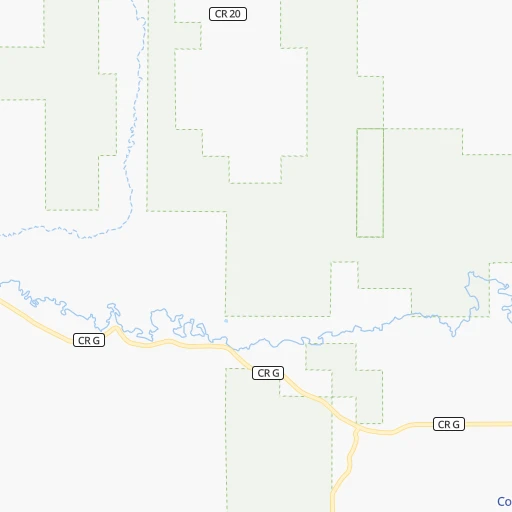
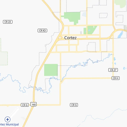
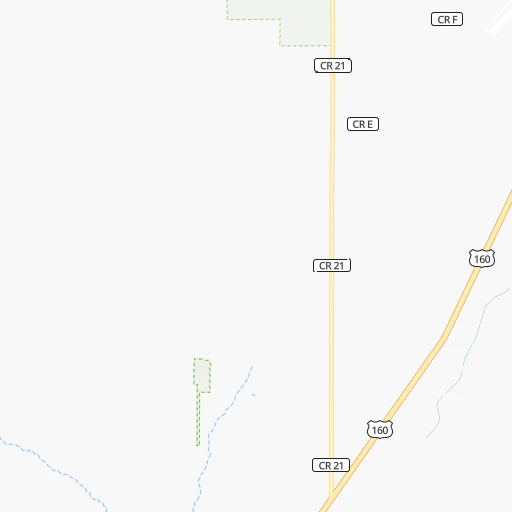
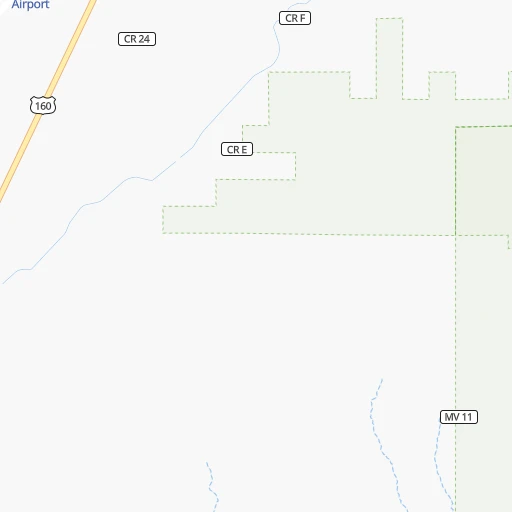
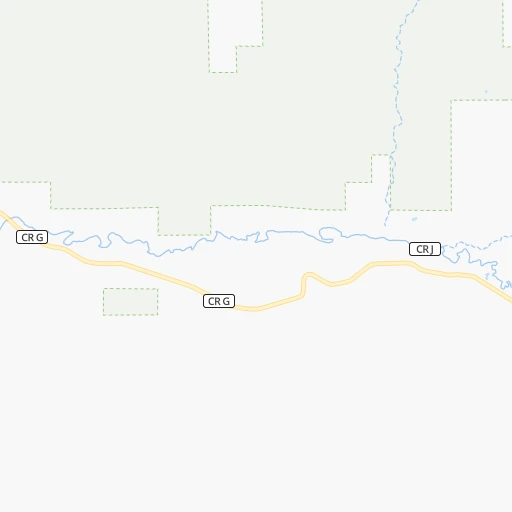
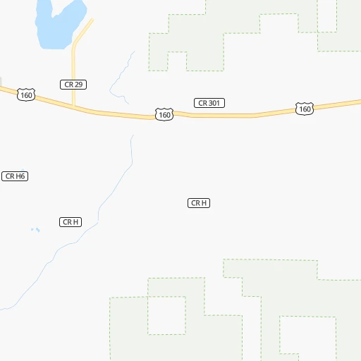
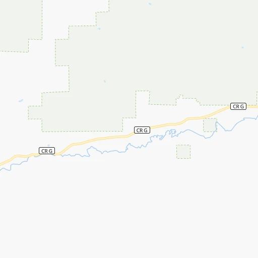
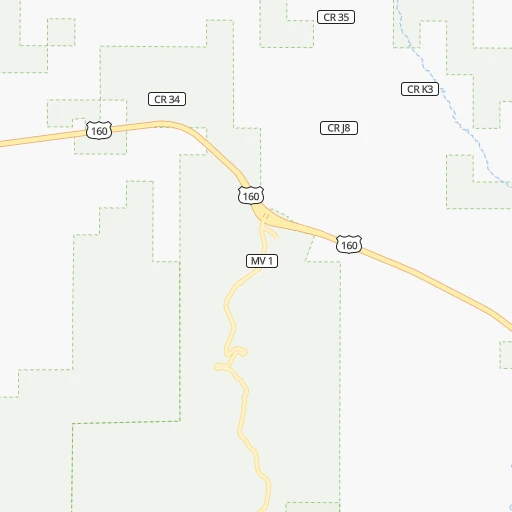
Roadmap (route) to go from Cortez-Montezuma County Airport to Rifle detailed above, you can also see the course layout on the map.
While doing trip Cortez-Montezuma County (airport) - Rifle by car, the calculated route ends at a distance , or more straight.
Distance and duration of the route between Cortez-Montezuma County (airport) and Rifle
Calculation of distance and route from Rifle to Cortez-Montezuma County (airport) :
258.7405.6 km5h16mn
Continue 0h0mn 112 mTurn right onto Airport Road 0h2mn 899 mKeep right 0h0mn 133 mContinue onto CR G 0h1mn 1.5 kmTurn left onto US 160, US 491 0h4mn 4.2 kmKeep left onto North Broadway 0h1mn 1.1 kmTurn right onto West Empire Street 0h3mn 3.1 kmTurn left onto North Dolores Road 2h43mn 113.6 kmAt roundabout, take exit 2 onto State Highway 145 0h19mn 20.5 kmTurn right onto CO 62 0h24mn 34.5 kmTurn left onto CR 24A 0h2mn 1.6 kmTurn right onto CR 24 0h7mn 3.5 kmTurn left onto US 550 1h52mn 71.8 kmTurn left onto Confluence Drive 0h1mn 1.4 kmTurn sharp left onto West 5th Street 0h7mn 7.5 kmTurn left onto US 50 0h27mn 42.4 kmKeep right onto CO 141 and take CO 141 North toward Denver, 32 Road 0h0mn 118 mContinue onto 32 Road 0h7mn 8.6 kmKeep right 0h1mn 1.8 kmKeep right and take I 70 East toward Denver 1h47mn 80.7 kmKeep right onto US 6 and take US 6 East toward Rifle 0h0mn 424 mTurn left onto US 6 0h4mn 4.3 kmTurn left onto Rifle Bypass 0h0mn 97 mKeep right 0h0mn 56 mTurn slight right onto West 2nd Street 0h1mn 977 mTurn right onto West 3rd Street 0h0mn 269 mTurn left onto Railroad Avenue 0h0mn 346 mArrive at destination 0h0mn 0 m
Travel from Cortez-Montezuma County (airport) (Colorado) to a selection of major cities.
Distances from Cortez-Montezuma County Airport to biggest cities in Colorado
- Littleton,46,368 inhabitants.407 km
- Southglenn,42,268 inhabitants.409 km
- Northglenn,39,197 inhabitants.428 km
- Brighton,37,585 inhabitants.446 km
- Englewood,33,082 inhabitants.411 km
- Security-Widefield,32,882 inhabitants.379 km
- Ken Caryl,32,438 inhabitants.397 km
- Wheat Ridge,31,192 inhabitants.413 km
- Pueblo West,29,637 inhabitants.363 km
- Fountain,27,767 inhabitants.377 km
- Lafayette,27,729 inhabitants.429 km
- Castlewood,25,271 inhabitants.412 km
- Columbine,24,280 inhabitants.401 km
- Windsor,21,751 inhabitants.479 km
- Erie,21,420 inhabitants.436 km
- Evans,21,383 inhabitants.483 km
- Louisville,20,396 inhabitants.426 km
- Golden,20,330 inhabitants.403 km
Other major cities in country :
- Charlotte [NC], 827,097 inhabitants. 2,496 km
- Seattle [WA], 684,451 inhabitants. 1,602 km
- El Paso [TX], 681,124 inhabitants. 648 km
- Detroit [MI], 677,116 inhabitants. 2,249 km
- Boston [MA], 667,137 inhabitants. 3,234 km
- Memphis [TN], 655,770 inhabitants. 1,683 km
- New South Memphis [TN], 641,608 inhabitants. 1,684 km
- Portland [OR], 632,309 inhabitants. 1,484 km
- Oklahoma City [OK], 631,346 inhabitants. 1,016 km
- Las Vegas [NV], 623,747 inhabitants. 594 km
- Baltimore [MD], 621,849 inhabitants. 2,791 km
- Washington, D.C. [DC], 601,723 inhabitants. 2,759 km
- Milwaukee [WI], 600,155 inhabitants. 1,869 km
- South Boston [MA], 571,281 inhabitants. 3,235 km
- Albuquerque [NM], 559,121 inhabitants. 304 km
- Tucson [AZ], 531,641 inhabitants. 603 km
- Nashville [TN], 530,852 inhabitants. 1,949 km
- Fresno [CA], 520,052 inhabitants. 992 km
- Sacramento [CA], 490,712 inhabitants. 1,137 km
- Kansas City [MO], 475,378 inhabitants. 1,244 km
Route from Rifle to major cities (United States).
- Distance Rifle New York City2,860 km
- Distance Rifle Los Angeles1,113 km
- Distance Rifle Chicago1,715 km
- Distance Rifle Brooklyn2,866 km
- Distance Rifle Houston1,571 km
- Distance Rifle Queens2,875 km
- Distance Rifle Philadelphia2,777 km
- Distance Rifle Phoenix779 km
- Distance Rifle Manhattan2,863 km
- Distance Rifle San Antonio1,410 km
- Distance Rifle San Diego1,134 km
- Distance Rifle The Bronx2,870 km
- Distance Rifle Dallas1,239 km
- Distance Rifle San Jose1,253 km
- Distance Rifle Austin1,378 km
- Distance Rifle Jacksonville2,583 km
- Distance Rifle San Francisco1,286 km
- Distance Rifle Columbus2,115 km
- Distance Rifle Fort Worth1,207 km
- Distance Rifle Indianapolis1,849 km
Nearest cities to Cortez-Montezuma County (airport) :
- Albuquerque, 559,121 inhabitants. 304 km
- Enchanted Hills, 87,521 inhabitants. 285 km
- Rio Rancho, 87,521 inhabitants. 290 km
- Santa Fe, 84,099 inhabitants. 301 km
- Grand Junction, 60,358 inhabitants. 196 km
- Farmington, 42,871 inhabitants. 74 km
- South Valley, 40,976 inhabitants. 310 km
- Springville, 32,286 inhabitants. 411 km
- Gallup, 23,240 inhabitants. 198 km
- Clifton, 19,889 inhabitants. 200 km
- Montrose, 19,062 inhabitants. 147 km
- Durango, 18,006 inhabitants. 66 km
- Los Lunas, 15,336 inhabitants. 326 km
- Fruita, 12,795 inhabitants. 207 km
- Los Alamos, 12,019 inhabitants. 260 km
- North Valley, 11,333 inhabitants. 298 km
- Edwards, 10,266 inhabitants. 315 km
- Espanola, 10,224 inhabitants. 270 km
- Glenwood Springs, 9,906 inhabitants. 275 km
- Alamosa, 9,819 inhabitants. 245 km
- Winslow, 9,600 inhabitants. 314 km
- Rifle, 9,563 inhabitants. 259 km
- Grants, 9,239 inhabitants. 250 km
- Mapleton, 9,232 inhabitants. 406 km
- Bernalillo, 8,843 inhabitants. 291 km
- Delta, 8,791 inhabitants. 168 km
- Cortez, 8,715 inhabitants. 6 km
- Redlands, 8,685 inhabitants. 198 km
- Tuba City, 8,611 inhabitants. 267 km
- Corrales, 8,502 inhabitants. 293 km
- Price, 8,378 inhabitants. 319 km
- Shiprock, 8,295 inhabitants. 58 km
- Kirtland, 7,875 inhabitants. 68 km
- Fruitvale, 7,675 inhabitants. 198 km
- Page, 7,490 inhabitants. 255 km
- Bloomfield, 7,314 inhabitants. 87 km
- Belen, 7,152 inhabitants. 338 km
- Roosevelt, 6,980 inhabitants. 354 km
- Gypsum, 6,922 inhabitants. 299 km
- Aspen, 6,882 inhabitants. 263 km
- Ephraim, 6,857 inhabitants. 345 km
- Orchard Mesa, 6,836 inhabitants. 194 km
- Eagle, 6,678 inhabitants. 305 km
- Carbondale, 6,670 inhabitants. 264 km
- Avon, 6,505 inhabitants. 318 km
- Zuni Pueblo, 6,302 inhabitants. 249 km
- Aztec, 6,147 inhabitants. 78 km
- Eldorado at Santa Fe, 6,130 inhabitants. 312 km
- Gunnison, 6,076 inhabitants. 204 km
- Los Ranchos de Albuquerque, 6,063 inhabitants. 298 km
Location Cortez-Montezuma County (airport) (Colorado) :
| Country flag |  |
| Location | Cortez-Montezuma County (airport) |
| State | Colorado |
| County | Montezuma County |
| Country | United States |
| Country code / ISO 2 | US |
| Latitude | 37.3027700 |
| Longitude | -108.6287100 |
| Altitude | 1802 meters |
| Time zone | America/Denver |
Location Rifle (Colorado) :
| Country flag | |
| Location | Rifle |
| State | Colorado |
| County | Garfield County |
| Country | United States |
| Country code / ISO 2 | US |
| Latitude | 39.5347000 |
| Longitude | -107.7831200 |
| Altitude | 1630 meters |
| Time zone | America/Denver |


