
How to get from Mc Cabe Ranch (airport) (California) to Sunnyvale (California)
Calculate route from Mc Cabe Ranch (airport) (California, United States) to Sunnyvale (California, United States).
The flight distance (as the crow flies) between Mc Cabe Ranch (airport) and Sunnyvale is 182.5 km.
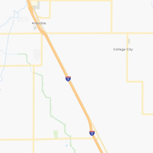
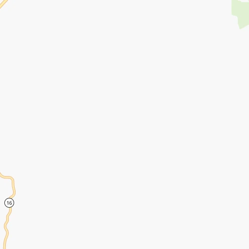
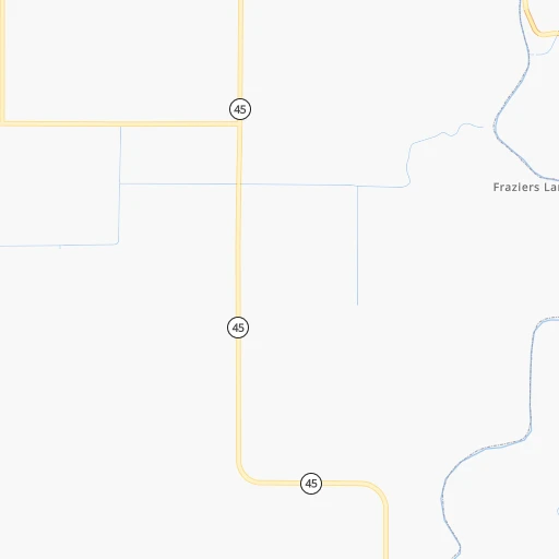
Roadmap (route) to go from Mc Cabe Ranch Airport to Sunnyvale detailed above, you can also see the course layout on the map.
While doing trip Mc Cabe Ranch (airport) - Sunnyvale by car, the calculated route ends at a distance , or more straight.
Distance and duration of the route between Mc Cabe Ranch (airport) and Sunnyvale
Calculation of distance and route from Sunnyvale to Mc Cabe Ranch (airport) :
182.5218.1 km2h22mn
Continue 0h1mn 276 mTurn right onto Hillgate Road 0h4mn 3.6 kmKeep left onto Hillgate Road 0h0mn 75 mTurn right 0h12mn 20.6 kmKeep right onto I 505 and take I 505 South toward Winters, San Francisco 1h47mn 77.9 kmKeep right onto Luther E Gibson Freeway and take I 680 toward Benicia, San Jose 1h56mn 87.2 kmKeep right and take CA 238 toward Mission Boulevard 0h0mn 476 mKeep left and take CA 238 South toward Mission Boulevard, Mission San Jose, Ohlone College 0h0mn 56 mTurn left onto Mission Boulevard 0h1mn 678 mTurn right onto Mission Boulevard 0h10mn 12.7 kmKeep right and take CA 237 East toward Calaveras Boulevard, McCarthy Boulevard 0h0mn 494 mTurn sharp right onto West Calaveras Boulevard 0h6mn 9.6 kmKeep right and drive toward Mathilda Avenue 0h0mn 425 mTurn left onto North Mathilda Avenue 0h4mn 4.0 kmTurn left onto West El Camino Real 0h0mn 69 mArrive at destination 0h0mn 0 m
Travel from Mc Cabe Ranch (airport) (California) to a selection of major cities.
Distances from Mc Cabe Ranch Airport to biggest cities in California
- Moreno Valley,204,198 inhabitants.713 km
- Huntington Beach,201,899 inhabitants.700 km
- Glendale,201,020 inhabitants.641 km
- Santa Clarita,182,371 inhabitants.604 km
- Oceanside,175,691 inhabitants.774 km
- Garden Grove,175,393 inhabitants.692 km
- Rancho Cucamonga,175,236 inhabitants.678 km
- Santa Rosa,174,972 inhabitants.83 km
- Ontario,171,214 inhabitants.679 km
- Hollywood,167,664 inhabitants.642 km
- Elk Grove,166,913 inhabitants.92 km
- Corona,164,226 inhabitants.701 km
- Lancaster,161,103 inhabitants.596 km
- Palmdale,158,351 inhabitants.608 km
- Hayward,158,289 inhabitants.149 km
- Salinas,157,380 inhabitants.263 km
- Pomona,153,266 inhabitants.675 km
- Sunnyvale,151,754 inhabitants.183 km
- Escondido,151,451 inhabitants.796 km
- Torrance,148,475 inhabitants.667 km
Other major cities in country :
- Detroit [MI], 677,116 inhabitants. 3,289 km
- Boston [MA], 667,137 inhabitants. 4,260 km
- Memphis [TN], 655,770 inhabitants. 2,864 km
- New South Memphis [TN], 641,608 inhabitants. 2,865 km
- Portland [OR], 632,309 inhabitants. 727 km
- Oklahoma City [OK], 631,346 inhabitants. 2,207 km
- Las Vegas [NV], 623,747 inhabitants. 690 km
- Baltimore [MD], 621,849 inhabitants. 3,884 km
- Washington, D.C. [DC], 601,723 inhabitants. 3,860 km
- Milwaukee [WI], 600,155 inhabitants. 2,886 km
- South Boston [MA], 571,281 inhabitants. 4,261 km
- Albuquerque [NM], 559,121 inhabitants. 1,438 km
- Tucson [AZ], 531,641 inhabitants. 1,261 km
- Nashville [TN], 530,852 inhabitants. 3,112 km
- Kansas City [MO], 475,378 inhabitants. 2,370 km
- Mesa [AZ], 471,825 inhabitants. 1,112 km
- Staten Island [NY], 468,730 inhabitants. 4,055 km
- Atlanta [GA], 463,878 inhabitants. 3,405 km
- Colorado Springs [CO], 456,568 inhabitants. 1,494 km
- Virginia Beach [VA], 452,745 inhabitants. 4,013 km
Route from Sunnyvale to major cities (United States).
- Distance Sunnyvale New York City4,118 km
- Distance Sunnyvale Chicago2,971 km
- Distance Sunnyvale Brooklyn4,124 km
- Distance Sunnyvale Houston2,604 km
- Distance Sunnyvale Queens4,132 km
- Distance Sunnyvale Philadelphia4,038 km
- Distance Sunnyvale Phoenix1,003 km
- Distance Sunnyvale Manhattan4,120 km
- Distance Sunnyvale San Antonio2,352 km
- Distance Sunnyvale The Bronx4,126 km
- Distance Sunnyvale Dallas2,347 km
- Distance Sunnyvale Austin2,374 km
- Distance Sunnyvale Jacksonville3,785 km
- Distance Sunnyvale Columbus3,378 km
- Distance Sunnyvale Fort Worth2,304 km
- Distance Sunnyvale Indianapolis3,113 km
- Distance Sunnyvale Charlotte3,674 km
- Distance Sunnyvale Seattle1,140 km
- Distance Sunnyvale Denver1,505 km
- Distance Sunnyvale El Paso1,554 km
Nearest cities to Mc Cabe Ranch (airport) :
- San Jose, 1,026,908 inhabitants. 187 km
- San Francisco, 864,816 inhabitants. 140 km
- Fresno, 520,052 inhabitants. 324 km
- Sacramento, 490,712 inhabitants. 71 km
- Oakland, 419,267 inhabitants. 135 km
- Stockton, 305,658 inhabitants. 137 km
- Reno, 241,445 inhabitants. 205 km
- Fremont, 232,206 inhabitants. 163 km
- Modesto, 211,266 inhabitants. 180 km
- Santa Rosa, 174,972 inhabitants. 83 km
- Elk Grove, 166,913 inhabitants. 92 km
- Hayward, 158,289 inhabitants. 149 km
- Salinas, 157,380 inhabitants. 263 km
- Sunnyvale, 151,754 inhabitants. 183 km
- Roseville, 130,269 inhabitants. 76 km
- Visalia, 130,104 inhabitants. 387 km
- Concord, 128,667 inhabitants. 115 km
- Santa Clara, 126,215 inhabitants. 185 km
- Vallejo, 121,253 inhabitants. 102 km
- Berkeley, 120,972 inhabitants. 128 km
- Fairfield, 112,970 inhabitants. 85 km
- Antioch, 110,542 inhabitants. 115 km
- Richmond, 109,708 inhabitants. 122 km
- Daly City, 106,562 inhabitants. 149 km
- Clovis, 104,180 inhabitants. 322 km
- San Mateo, 103,536 inhabitants. 162 km
- Chinatown, 100,574 inhabitants. 138 km
- Vacaville, 96,803 inhabitants. 73 km
- Sparks, 96,094 inhabitants. 210 km
- Arden-Arcade, 92,186 inhabitants. 77 km
- Redding, 91,582 inhabitants. 177 km
- San Leandro, 90,712 inhabitants. 143 km
- Chico, 90,316 inhabitants. 83 km
- Livermore, 88,126 inhabitants. 151 km
- Tracy, 87,075 inhabitants. 153 km
- Citrus Heights, 87,056 inhabitants. 78 km
- Redwood City, 85,288 inhabitants. 170 km
- Merced, 82,436 inhabitants. 237 km
- Mountain View, 80,435 inhabitants. 181 km
- Napa, 80,434 inhabitants. 81 km
- Pleasanton, 79,510 inhabitants. 151 km
- Alameda, 78,630 inhabitants. 139 km
- Milpitas, 77,604 inhabitants. 177 km
- Folsom, 76,375 inhabitants. 88 km
- San Ramon, 76,134 inhabitants. 137 km
- Manteca, 75,448 inhabitants. 155 km
- Union City, 74,494 inhabitants. 158 km
- Turlock, 72,292 inhabitants. 201 km
- Rancho Cordova, 71,017 inhabitants. 83 km
- Pittsburg, 69,424 inhabitants. 111 km
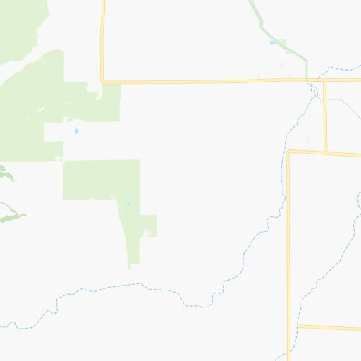
Location Mc Cabe Ranch (airport) (California) :
| Country flag |  |
| Location | Mc Cabe Ranch (airport) |
| State | California |
| County | Colusa County |
| Country | United States |
| Country code / ISO 2 | US |
| Latitude | 39.0101900 |
| Longitude | -122.0986000 |
| Altitude | 62 meters |
| Time zone | America/Los_Angeles |
Location Sunnyvale (California) :
| Country flag | |
| Location | Sunnyvale |
| State | California |
| County | Santa Clara County |
| Country | United States |
| Country code / ISO 2 | US |
| Latitude | 37.3688300 |
| Longitude | -122.0363500 |
| Altitude | 39 meters |
| Time zone | America/Los_Angeles |


