
Home
››
Hanford Community Medical Center Helistop
››
Roadmap from Hanford Community Medical Center Helistop to Stockton
How to get from Hanford Community Medical Center Helistop (California) to Stockton (California)
Calculate route from Hanford Community Medical Center Helistop (California, United States) to Stockton (California, United States).
The flight distance (as the crow flies) between Hanford Community Medical Center Helistop and Stockton is 231.5 km.
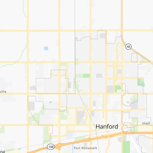
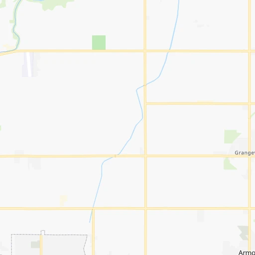
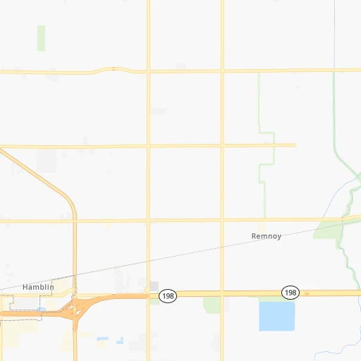
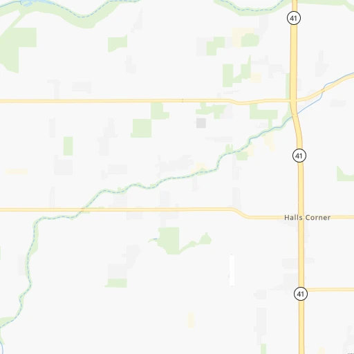
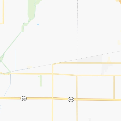
Roadmap (route) to go from Hanford Community Medical Center Helistop to Stockton detailed above, you can also see the course layout on the map.
While doing trip Hanford Community Medical Center Helistop - Stockton by car, the calculated route ends at a distance , or more straight.
Distance and duration of the route between Hanford Community Medical Center Helistop and Stockton
Calculation of distance and route from Stockton to Hanford Community Medical Center Helistop :
231.5252.2 km3h50mn
Continue 0h1mn 200 mTurn left onto Greenfield Avenue 0h1mn 423 mTurn right onto West Elm Street 0h0mn 220 mTurn left onto North 11th Avenue 0h3mn 2.6 kmTurn right onto West Fargo Avenue 0h2mn 1.6 kmTurn left onto North 10th Avenue 0h1mn 1.0 kmTurn left onto Central Valley Highway 0h20mn 23.6 kmTurn left onto Floral Avenue 0h0mn 40 mKeep right 0h25mn 41.5 kmKeep right and drive toward Avenue 7 0h22mn 35.2 kmKeep right onto Northbound California State Route 99 toward CA 99 1h29mn 137.8 kmKeep right 0h0mn 546 mTurn left onto Mariposa Road 0h2mn 2.5 kmTurn left onto Charter Way 0h1mn 896 mKeep right 0h0mn 235 mTurn slight right onto South Wilson Way 0h1mn 1.3 kmTurn left onto East Washington Street 0h0mn 23 mKeep left 0h1mn 1.4 kmKeep right and drive toward Downtown 0h0mn 260 mTurn right onto South El Dorado Street 0h1mn 790 mTurn sharp right onto East Fremont Street 0h0mn 36 mArrive at destination 0h0mn 0 m
Travel from Hanford Community Medical Center Helistop (California) to a selection of major cities.
Distances from Hanford Community Medical Center Helistop to biggest cities in California
- Moreno Valley,204,198 inhabitants.346 km
- Huntington Beach,201,899 inhabitants.334 km
- Glendale,201,020 inhabitants.275 km
- Santa Clarita,182,371 inhabitants.238 km
- Oceanside,175,691 inhabitants.406 km
- Garden Grove,175,393 inhabitants.325 km
- Rancho Cucamonga,175,236 inhabitants.311 km
- Santa Rosa,174,972 inhabitants.358 km
- Ontario,171,214 inhabitants.312 km
- Hollywood,167,664 inhabitants.276 km
- Elk Grove,166,913 inhabitants.277 km
- Corona,164,226 inhabitants.333 km
- Lancaster,161,103 inhabitants.228 km
- Palmdale,158,351 inhabitants.240 km
- Hayward,158,289 inhabitants.262 km
- Salinas,157,380 inhabitants.183 km
- Pomona,153,266 inhabitants.307 km
- Sunnyvale,151,754 inhabitants.241 km
- Escondido,151,451 inhabitants.428 km
- Torrance,148,475 inhabitants.303 km
Other major cities in country :
- Detroit [MI], 677,116 inhabitants. 3,197 km
- Boston [MA], 667,137 inhabitants. 4,180 km
- Memphis [TN], 655,770 inhabitants. 2,668 km
- New South Memphis [TN], 641,608 inhabitants. 2,669 km
- Portland [OR], 632,309 inhabitants. 1,054 km
- Oklahoma City [OK], 631,346 inhabitants. 1,995 km
- Las Vegas [NV], 623,747 inhabitants. 406 km
- Baltimore [MD], 621,849 inhabitants. 3,765 km
- Washington, D.C. [DC], 601,723 inhabitants. 3,735 km
- Milwaukee [WI], 600,155 inhabitants. 2,802 km
- South Boston [MA], 571,281 inhabitants. 4,181 km
- Albuquerque [NM], 559,121 inhabitants. 1,183 km
- Tucson [AZ], 531,641 inhabitants. 924 km
- Nashville [TN], 530,852 inhabitants. 2,937 km
- Kansas City [MO], 475,378 inhabitants. 2,223 km
- Mesa [AZ], 471,825 inhabitants. 785 km
- Staten Island [NY], 468,730 inhabitants. 3,952 km
- Atlanta [GA], 463,878 inhabitants. 3,210 km
- Colorado Springs [CO], 456,568 inhabitants. 1,337 km
- Virginia Beach [VA], 452,745 inhabitants. 3,870 km
Route from Stockton to major cities (United States).
- Distance Stockton New York City4,033 km
- Distance Stockton Chicago2,886 km
- Distance Stockton Brooklyn4,040 km
- Distance Stockton Houston2,554 km
- Distance Stockton Queens4,048 km
- Distance Stockton Philadelphia3,954 km
- Distance Stockton Phoenix972 km
- Distance Stockton Manhattan4,035 km
- Distance Stockton San Antonio2,307 km
- Distance Stockton The Bronx4,042 km
- Distance Stockton Dallas2,289 km
- Distance Stockton Austin2,325 km
- Distance Stockton Jacksonville3,720 km
- Distance Stockton Columbus3,297 km
- Distance Stockton Fort Worth2,246 km
- Distance Stockton Indianapolis3,032 km
- Distance Stockton Charlotte3,600 km
- Distance Stockton Seattle1,077 km
- Distance Stockton Denver1,425 km
- Distance Stockton El Paso1,516 km
Nearest cities to Hanford Community Medical Center Helistop :
- Los Angeles, 3,971,883 inhabitants. 284 km
- San Jose, 1,026,908 inhabitants. 229 km
- San Francisco, 864,816 inhabitants. 293 km
- Fresno, 520,052 inhabitants. 48 km
- Sacramento, 490,712 inhabitants. 298 km
- Long Beach, 474,140 inhabitants. 315 km
- Oakland, 419,267 inhabitants. 284 km
- Bakersfield, 373,640 inhabitants. 121 km
- Anaheim, 350,742 inhabitants. 320 km
- Santa Ana, 335,400 inhabitants. 331 km
- Riverside, 322,424 inhabitants. 335 km
- Stockton, 305,658 inhabitants. 232 km
- Irvine, 256,927 inhabitants. 340 km
- Fremont, 232,206 inhabitants. 248 km
- San Bernardino, 216,108 inhabitants. 328 km
- Modesto, 211,266 inhabitants. 188 km
- Fontana, 207,460 inhabitants. 321 km
- Oxnard, 207,254 inhabitants. 241 km
- Moreno Valley, 204,198 inhabitants. 346 km
- Huntington Beach, 201,899 inhabitants. 334 km
- Glendale, 201,020 inhabitants. 275 km
- Santa Clarita, 182,371 inhabitants. 238 km
- Garden Grove, 175,393 inhabitants. 325 km
- Rancho Cucamonga, 175,236 inhabitants. 311 km
- Ontario, 171,214 inhabitants. 312 km
- Hollywood, 167,664 inhabitants. 276 km
- Elk Grove, 166,913 inhabitants. 277 km
- Corona, 164,226 inhabitants. 333 km
- Lancaster, 161,103 inhabitants. 228 km
- Palmdale, 158,351 inhabitants. 240 km
- Hayward, 158,289 inhabitants. 262 km
- Salinas, 157,380 inhabitants. 183 km
- Pomona, 153,266 inhabitants. 307 km
- Sunnyvale, 151,754 inhabitants. 241 km
- Torrance, 148,475 inhabitants. 303 km
- Valencia, 148,456 inhabitants. 231 km
- Pasadena, 142,250 inhabitants. 279 km
- Orange, 140,992 inhabitants. 327 km
- Fullerton, 140,847 inhabitants. 316 km
- Van Nuys, 136,443 inhabitants. 263 km
- Roseville, 130,269 inhabitants. 306 km
- Visalia, 130,104 inhabitants. 33 km
- Thousand Oaks, 129,339 inhabitants. 252 km
- Concord, 128,667 inhabitants. 279 km
- Simi Valley, 126,788 inhabitants. 243 km
- East Los Angeles, 126,496 inhabitants. 290 km
- Santa Clara, 126,215 inhabitants. 234 km
- Koreatown, 124,281 inhabitants. 282 km
- Victorville, 122,225 inhabitants. 293 km
- Vallejo, 121,253 inhabitants. 303 km
Location Hanford Community Medical Center Helistop (California) :
| Country flag |  |
| Location | Hanford Community Medical Center Helistop |
| State | California |
| County | Kings County |
| Country | United States |
| Country code / ISO 2 | US |
| Latitude | 36.3296700 |
| Longitude | -119.6604100 |
| Altitude | 76 meters |
| Time zone | America/Los_Angeles |
Location Stockton (California) :
| Country flag | |
| Location | Stockton |
| State | California |
| County | San Joaquin County |
| Country | United States |
| Country code / ISO 2 | US |
| Latitude | 37.9577000 |
| Longitude | -121.2907800 |
| Altitude | 4 meters |
| Time zone | America/Los_Angeles |


