

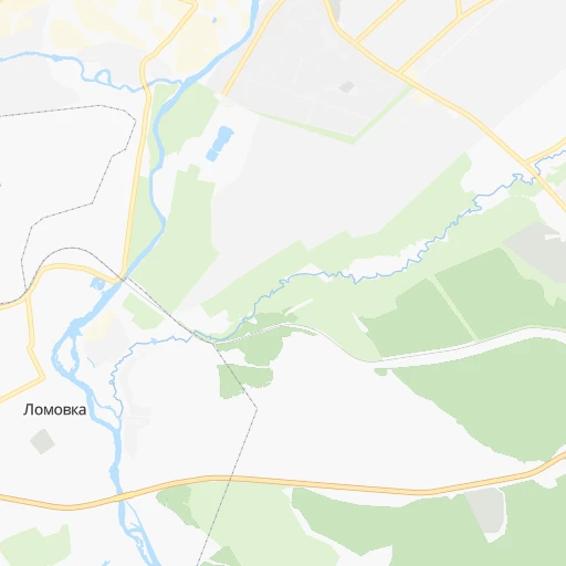
How to get from Lomovka (Bashkortostan Republic) to Rayevskiy (Bashkortostan Republic)
Calculate route from Lomovka (Bashkortostan Republic, Russia) to Rayevskiy (Bashkortostan Republic, Russia).
The flight distance (as the crow flies) between Lomovka and Rayevskiy is 224.0 km.
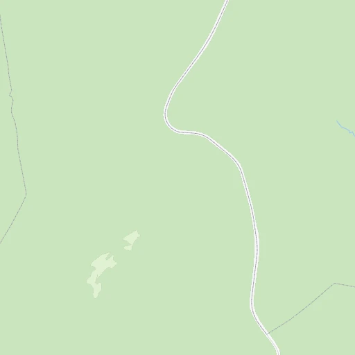
Roadmap (route) to go from Lomovka to Rayevskiy detailed above, you can also see the course layout on the map.
While doing trip Lomovka - Rayevskiy by car, the calculated route ends at a distance , or more straight.
Distance and duration of the route between Lomovka and Rayevskiy
Calculation of distance and route from Rayevskiy to Lomovka :
224.0325.2 km5h23mn
Continue onto улица Масленникова 0h0mn 240 mTurn left onto улица Ленина 0h1mn 924 mContinue 0h2mn 1.2 kmTurn right onto 80К-026 0h14mn 18.1 kmTurn right onto 80К-031 3h34mn 180.7 kmTurn left onto улица Аксакова 0h3mn 2.2 kmTurn sharp right onto улица Чапаева 0h1mn 784 mTurn left onto Советская улица 0h1mn 871 mTurn right onto улица Султан-Галиева 0h0mn 265 mTurn left onto улица Худайбердина 0h1mn 1.2 kmKeep right onto улица Рафикова 0h14mn 11.8 kmTurn right onto Почтовая улица 0h0mn 243 mTurn left onto Шоссейная улица 0h12mn 9.8 kmContinue onto 80Н-028 0h0mn 16 mContinue onto 80Н-028 0h4mn 4.3 kmTurn right onto улица Ленина 0h1mn 433 mTurn left onto улица Чкалова 0h13mn 11.2 kmTurn left onto 80Н-028 0h11mn 9.5 kmTurn right onto 80Н-028 0h6mn 5.2 kmTurn left onto 80Н-028 0h12mn 10.3 kmTurn right onto 80Н-016 1h39mn 32.8 kmTurn left 0h23mn 19.6 kmKeep right onto 80Н-053 0h2mn 1.5 kmTurn left 0h3mn 741 mTurn right 0h2mn 552 mTurn slight right onto улица Красная Башкирия 0h0mn 39 mTurn left onto Кирпичный переулок 0h1mn 351 mTurn right onto улица Крупской 0h0mn 249 mTurn slight left 0h0mn 81 mTurn right onto улица Селькора 0h0mn 40 mArrive at destination 0h0mn 0 m
Travel from Lomovka (Bashkortostan Republic) to a selection of major cities.
Distances from Lomovka to biggest cities in Bashkortostan Republic
Other major cities in country :
- Barnaul [04], 599,579 inhabitants. 1,668 km
- Vladivostok [59], 587,022 inhabitants. 5,298 km
- Irkutsk [20], 586,695 inhabitants. 3,020 km
- Khabarovsk [30], 579,000 inhabitants. 5,119 km
- Khabarovsk Vtoroy [30], 578,303 inhabitants. 5,125 km
- Orenburg [55], 550,204 inhabitants. 325 km
- Novokuznetsk [29], 539,616 inhabitants. 1,875 km
- Ryazan' [62], 520,173 inhabitants. 1,213 km
- Tyumen [78], 519,119 inhabitants. 577 km
- Lipetsk [43], 515,655 inhabitants. 1,256 km
- Penza [57], 512,602 inhabitants. 886 km
- Naberezhnyye Chelny [73], 509,870 inhabitants. 431 km
- Kalininskiy [42], 504,641 inhabitants. 1,811 km
- Astrakhan [07], 502,533 inhabitants. 1,117 km
- Makhachkala [17], 497,959 inhabitants. 1,455 km
- Tomsk [75], 485,519 inhabitants. 1,703 km
- Kemerovo [29], 477,090 inhabitants. 1,781 km
- Tula [76], 468,825 inhabitants. 1,351 km
- Kirov [33], 457,383 inhabitants. 748 km
- Cheboksary [16], 446,781 inhabitants. 750 km
Route from Rayevskiy to major cities (Russia).
- Distance Rayevskiy Moscow1,122 km
- Distance Rayevskiy Saint Petersburg1,618 km
- Distance Rayevskiy Novosibirsk1,798 km
- Distance Rayevskiy Yekaterinburg473 km
- Distance Rayevskiy Nizhniy Novgorod739 km
- Distance Rayevskiy Samara331 km
- Distance Rayevskiy Omsk1,191 km
- Distance Rayevskiy Kazan419 km
- Distance Rayevskiy Rostov-na-Donu1,312 km
- Distance Rayevskiy Chelyabinsk435 km
- Distance Rayevskiy Volgograd937 km
- Distance Rayevskiy Perm447 km
- Distance Rayevskiy Krasnoyarsk2,398 km
- Distance Rayevskiy Saratov663 km
- Distance Rayevskiy Voronezh1,090 km
- Distance Rayevskiy Tol'yatti373 km
- Distance Rayevskiy Krasnodar1,523 km
- Distance Rayevskiy Ulyanovsk428 km
- Distance Rayevskiy Izhevsk329 km
- Distance Rayevskiy Yaroslavl1,019 km
Nearest cities to Lomovka :
- Yekaterinburg, 1,349,772 inhabitants. 356 km
- Ufa, 1,033,338 inhabitants. 181 km
- Magnitogorsk, 413,351 inhabitants. 72 km
- Sterlitamak, 267,231 inhabitants. 162 km
- Orsk, 246,836 inhabitants. 302 km
- Zlatoust, 191,366 inhabitants. 162 km
- Miass, 167,500 inhabitants. 168 km
- Salavat, 159,893 inhabitants. 173 km
- Pervoural'sk, 133,600 inhabitants. 347 km
- Novotroitsk, 106,186 inhabitants. 302 km
- Ozersk, 81,023 inhabitants. 253 km
- Beloretsk, 70,468 inhabitants. 5 km
- Ishimbay, 70,421 inhabitants. 162 km
- Polevskoy, 65,770 inhabitants. 304 km
- Meleuz, 65,362 inhabitants. 193 km
- Kumertau, 65,321 inhabitants. 214 km
- Revda, 61,785 inhabitants. 336 km
- Sibay, 61,590 inhabitants. 135 km
- Snezhinsk, 50,086 inhabitants. 284 km
- Satka, 49,384 inhabitants. 132 km
- Beryozovsky, 47,000 inhabitants. 367 km
- Chebarkul', 46,502 inhabitants. 175 km
- Krasnoufimsk, 43,121 inhabitants. 301 km
- Kyshtym, 41,625 inhabitants. 244 km
- Gay, 41,619 inhabitants. 273 km
- Birsk, 41,014 inhabitants. 247 km
- Yuzhnoural'sk, 39,200 inhabitants. 197 km
- Uchaly, 37,788 inhabitants. 85 km
- Chernushka, 35,942 inhabitants. 323 km
- Trekhgornyy, 34,500 inhabitants. 100 km
- Blagoveshchensk, 34,238 inhabitants. 198 km
- Verkhniy Ufaley, 33,245 inhabitants. 266 km
- Asha, 33,006 inhabitants. 139 km
- Mednogorsk, 30,676 inhabitants. 284 km
- Yemanzhelinsk, 29,849 inhabitants. 213 km
- Kuvandyk, 28,706 inhabitants. 280 km
- Kartaly, 28,503 inhabitants. 179 km
- Zarechnyy, 27,758 inhabitants. 372 km
- Ust'-Katav, 25,046 inhabitants. 114 km
- Chishmy, 22,000 inhabitants. 208 km
- Sysert', 21,942 inhabitants. 327 km
- Bakal, 21,762 inhabitants. 117 km
- Kusa, 19,818 inhabitants. 172 km
- Katav-Ivanovsk, 19,339 inhabitants. 93 km
- Talitsa, 19,100 inhabitants. 346 km
- Kasli, 17,911 inhabitants. 268 km
- Baymak, 17,493 inhabitants. 148 km
- Saraktash, 17,413 inhabitants. 273 km
- Yasnyy, 17,359 inhabitants. 337 km
- Plast, 17,050 inhabitants. 167 km
Location Lomovka (Bashkortostan Republic) :
| Country flag |  |
| Location | Lomovka |
| State | Bashkortostan Republic |
| County | |
| Country | Russia |
| Country code / ISO 2 | RU |
| Latitude | 53.9194400 |
| Longitude | 58.3672200 |
| Altitude | 0 meters |
| Time zone | Asia/Yekaterinburg |
Location Rayevskiy (Bashkortostan Republic) :
| Country flag | |
| Location | Rayevskiy |
| State | Bashkortostan Republic |
| County | |
| Country | Russia |
| Country code / ISO 2 | RU |
| Latitude | 54.0658000 |
| Longitude | 54.9468000 |
| Altitude | 0 meters |
| Time zone | Asia/Yekaterinburg |