


How to get from Chemehuevi Valley (airport) (California) to Stockton (California)
Calculate route from Chemehuevi Valley (airport) (California, United States) to Stockton (California, United States).
The flight distance (as the crow flies) between Chemehuevi Valley (airport) and Stockton is 723.0 km.
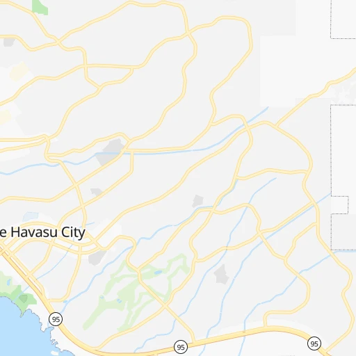
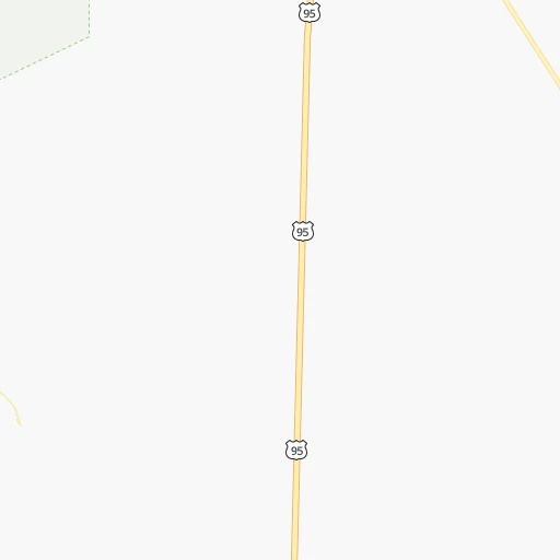
Roadmap (route) to go from Chemehuevi Valley Airport to Stockton detailed above, you can also see the course layout on the map.
While doing trip Chemehuevi Valley (airport) - Stockton by car, the calculated route ends at a distance , or more straight.
Distance and duration of the route between Chemehuevi Valley (airport) and Stockton
Calculation of distance and route from Stockton to Chemehuevi Valley (airport) :
723.0877.6 km9h28mn
Continue 0h1mn 694 mTurn right onto Alta Mira Avenue 0h9mn 4.3 kmTurn right onto Havasu Lake Road 1h36mn 29.7 kmTurn right onto US 95 0h21mn 32.1 kmTurn left onto US 95 2h19mn 237.0 kmKeep right and take CA 58 West toward Bakersfield 2h1mn 190.6 kmKeep right and take CA 184 toward Lamont, Morning Drive 0h0mn 509 mKeep right 0h1mn 566 mTurn left onto Edison Highway 0h5mn 6.3 kmKeep right onto Sumner Street 0h3mn 2.6 kmContinue onto Golden State Avenue 2h55mn 192.4 kmKeep right and drive toward Avenue 7 0h22mn 35.2 kmKeep right onto Northbound California State Route 99 toward CA 99 1h29mn 137.8 kmKeep right 0h0mn 546 mTurn left onto Mariposa Road 0h2mn 2.5 kmTurn left onto Charter Way 0h1mn 896 mKeep right 0h0mn 235 mTurn slight right onto South Wilson Way 0h1mn 1.3 kmTurn left onto East Washington Street 0h0mn 23 mKeep left 0h1mn 1.4 kmKeep right and drive toward Downtown 0h0mn 260 mTurn right onto South El Dorado Street 0h1mn 790 mTurn sharp right onto East Fremont Street 0h0mn 36 mArrive at destination 0h0mn 0 m
Travel from Chemehuevi Valley (airport) (California) to a selection of major cities.
Distances from Chemehuevi Valley Airport to biggest cities in California
- Moreno Valley,204,198 inhabitants.266 km
- Huntington Beach,201,899 inhabitants.343 km
- Glendale,201,020 inhabitants.354 km
- Santa Clarita,182,371 inhabitants.378 km
- Oceanside,175,691 inhabitants.310 km
- Garden Grove,175,393 inhabitants.334 km
- Rancho Cucamonga,175,236 inhabitants.295 km
- Santa Rosa,174,972 inhabitants.859 km
- Ontario,171,214 inhabitants.301 km
- Hollywood,167,664 inhabitants.361 km
- Elk Grove,166,913 inhabitants.756 km
- Corona,164,226 inhabitants.298 km
- Lancaster,161,103 inhabitants.340 km
- Palmdale,158,351 inhabitants.338 km
- Hayward,158,289 inhabitants.771 km
- Salinas,157,380 inhabitants.696 km
- Pomona,153,266 inhabitants.310 km
- Sunnyvale,151,754 inhabitants.754 km
- Escondido,151,451 inhabitants.291 km
- Torrance,148,475 inhabitants.368 km
Other major cities in country :
- Detroit [MI], 677,116 inhabitants. 2,853 km
- Boston [MA], 667,137 inhabitants. 3,837 km
- Memphis [TN], 655,770 inhabitants. 2,223 km
- New South Memphis [TN], 641,608 inhabitants. 2,223 km
- Portland [OR], 632,309 inhabitants. 1,410 km
- Oklahoma City [OK], 631,346 inhabitants. 1,544 km
- Las Vegas [NV], 623,747 inhabitants. 194 km
- Baltimore [MD], 621,849 inhabitants. 3,383 km
- Washington, D.C. [DC], 601,723 inhabitants. 3,349 km
- Milwaukee [WI], 600,155 inhabitants. 2,476 km
- South Boston [MA], 571,281 inhabitants. 3,838 km
- Albuquerque [NM], 559,121 inhabitants. 714 km
- Tucson [AZ], 531,641 inhabitants. 415 km
- Nashville [TN], 530,852 inhabitants. 2,508 km
- Kansas City [MO], 475,378 inhabitants. 1,837 km
- Mesa [AZ], 471,825 inhabitants. 270 km
- Staten Island [NY], 468,730 inhabitants. 3,587 km
- Atlanta [GA], 463,878 inhabitants. 2,759 km
- Colorado Springs [CO], 456,568 inhabitants. 982 km
- Virginia Beach [VA], 452,745 inhabitants. 3,463 km
Route from Stockton to major cities (United States).
- Distance Stockton New York City4,033 km
- Distance Stockton Chicago2,886 km
- Distance Stockton Brooklyn4,040 km
- Distance Stockton Houston2,554 km
- Distance Stockton Queens4,048 km
- Distance Stockton Philadelphia3,954 km
- Distance Stockton Phoenix972 km
- Distance Stockton Manhattan4,035 km
- Distance Stockton San Antonio2,307 km
- Distance Stockton The Bronx4,042 km
- Distance Stockton Dallas2,289 km
- Distance Stockton Austin2,325 km
- Distance Stockton Jacksonville3,720 km
- Distance Stockton Columbus3,297 km
- Distance Stockton Fort Worth2,246 km
- Distance Stockton Indianapolis3,032 km
- Distance Stockton Charlotte3,600 km
- Distance Stockton Seattle1,077 km
- Distance Stockton Denver1,425 km
- Distance Stockton El Paso1,516 km
Nearest cities to Chemehuevi Valley (airport) :
- Phoenix, 1,563,025 inhabitants. 249 km
- San Diego, 1,394,928 inhabitants. 324 km
- Las Vegas, 623,747 inhabitants. 194 km
- Mesa, 471,825 inhabitants. 270 km
- Riverside, 322,424 inhabitants. 280 km
- Henderson, 285,667 inhabitants. 175 km
- Chula Vista, 265,757 inhabitants. 324 km
- Chandler, 260,828 inhabitants. 275 km
- Gilbert, 247,542 inhabitants. 277 km
- Glendale, 240,126 inhabitants. 235 km
- Scottsdale, 236,839 inhabitants. 260 km
- North Las Vegas, 234,807 inhabitants. 196 km
- Paradise, 223,167 inhabitants. 186 km
- San Bernardino, 216,108 inhabitants. 267 km
- Moreno Valley, 204,198 inhabitants. 266 km
- Sunrise Manor, 189,372 inhabitants. 196 km
- Spring Valley, 178,395 inhabitants. 191 km
- Tempe, 175,826 inhabitants. 264 km
- Oceanside, 175,691 inhabitants. 310 km
- Peoria, 171,237 inhabitants. 228 km
- Tempe Junction, 158,368 inhabitants. 261 km
- Escondido, 151,451 inhabitants. 291 km
- Surprise, 128,422 inhabitants. 218 km
- Victorville, 122,225 inhabitants. 262 km
- Carlsbad, 113,453 inhabitants. 310 km
- Temecula, 112,011 inhabitants. 276 km
- Murrieta, 109,830 inhabitants. 279 km
- Enterprise, 108,481 inhabitants. 182 km
- El Cajon, 103,679 inhabitants. 304 km
- Rialto, 103,132 inhabitants. 274 km
- Vista, 100,890 inhabitants. 299 km
- Yuma, 94,139 inhabitants. 202 km
- Hesperia, 93,295 inhabitants. 264 km
- San Marcos, 92,931 inhabitants. 296 km
- Indio, 87,533 inhabitants. 188 km
- Menifee, 87,174 inhabitants. 266 km
- Hemet, 83,861 inhabitants. 250 km
- San Tan Valley, 81,321 inhabitants. 307 km
- Avondale, 80,684 inhabitants. 227 km
- Goodyear, 79,003 inhabitants. 227 km
- Perris, 74,971 inhabitants. 271 km
- Saint George, 72,897 inhabitants. 297 km
- Apple Valley, 72,174 inhabitants. 253 km
- Redlands, 71,035 inhabitants. 259 km
- Flagstaff, 70,320 inhabitants. 265 km
- Mira Mesa, 70,000 inhabitants. 309 km
- Encinitas, 62,930 inhabitants. 313 km
- Lake Elsinore, 61,981 inhabitants. 284 km
- National City, 61,060 inhabitants. 322 km
- La Mesa, 60,089 inhabitants. 310 km
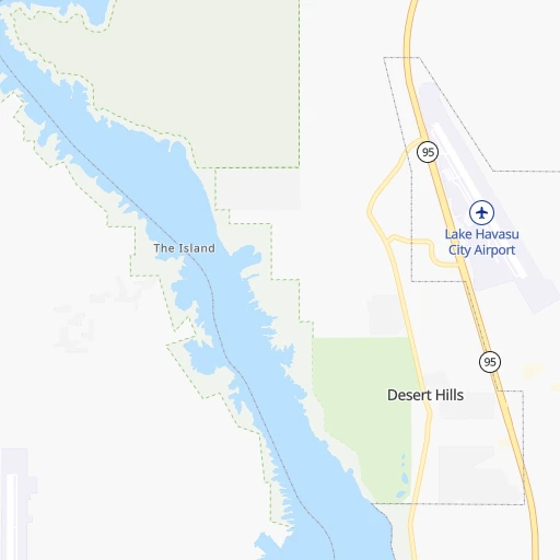
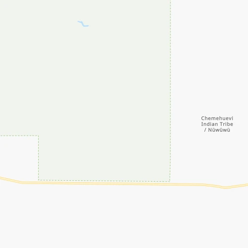
Location Chemehuevi Valley (airport) (California) :
| Country flag |  |
| Location | Chemehuevi Valley (airport) |
| State | California |
| County | San Bernardino County |
| Country | United States |
| Country code / ISO 2 | US |
| Latitude | 34.5292100 |
| Longitude | -114.4302600 |
| Altitude | 188 meters |
| Time zone | America/Los_Angeles |
Location Stockton (California) :
| Country flag | |
| Location | Stockton |
| State | California |
| County | San Joaquin County |
| Country | United States |
| Country code / ISO 2 | US |
| Latitude | 37.9577000 |
| Longitude | -121.2907800 |
| Altitude | 4 meters |
| Time zone | America/Los_Angeles |


