


How to get from Alpine County (airport) (California) to Escondido (California)
Calculate route from Alpine County (airport) (California, United States) to Escondido (California, United States).
The flight distance (as the crow flies) between Alpine County (airport) and Escondido is 668.8 km.
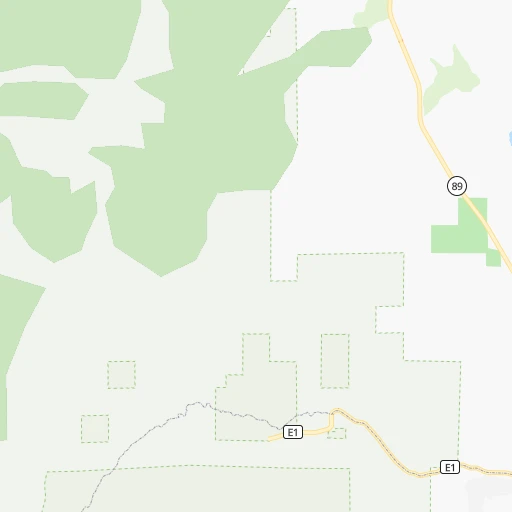
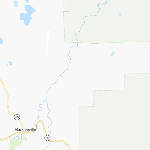
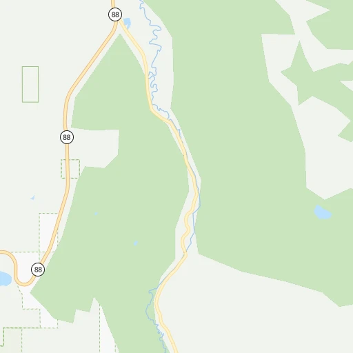
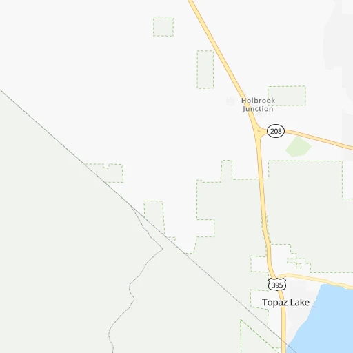
Roadmap (route) to go from Alpine County Airport to Escondido detailed above, you can also see the course layout on the map.
While doing trip Alpine County (airport) - Escondido by car, the calculated route ends at a distance , or more straight.
Distance and duration of the route between Alpine County (airport) and Escondido
Calculation of distance and route from Escondido to Alpine County (airport) :
668.8775.4 km9h44mn
Continue 0h1mn 258 mTurn right 0h0mn 53 mContinue onto Airport Road 0h8mn 4.2 kmTurn left onto CA 89 0h10mn 12.1 kmTurn left onto CA 89 0h22mn 28.3 kmTurn right onto US 395 2h18mn 204.8 kmTurn right onto Brockman Lane 0h2mn 1.6 kmTurn left onto West Line Street 0h3mn 3.2 kmTurn sharp right onto South Main Street 1h21mn 118.4 kmTurn slight right onto US 395 Olancha Cartago 4 Lane Project 1h51mn 78.3 kmKeep left onto US 395 and take US 395 South toward San Bernardino 0h0mn 509 mContinue onto Blue Star Memorial Highway 2h58mn 181.9 kmKeep right onto I 15 Truck 0h0mn 271 mKeep left onto Barstow Freeway 0h20mn 32.6 kmKeep right onto I 215 and take I 215 South, CA 60 East toward San Diego, Indio 0h5mn 8.2 kmKeep right onto I 215 Truck, CA 60 Truck toward I 215, CA 60 Truck 0h1mn 903 mKeep right onto I 215 Truck 1h58mn 93.9 kmKeep right onto I 15 Business and drive toward Centre City Parkway 0h4mn 5.8 kmTurn left onto Grand Avenue 0h0mn 135 mMake a U-turn onto Grand Avenue 0h0mn 105 mArrive at destination 0h0mn 0 m
Travel from Alpine County (airport) (California) to a selection of major cities.
Distances from Alpine County Airport to biggest cities in California
- Moreno Valley,204,198 inhabitants.580 km
- Huntington Beach,201,899 inhabitants.587 km
- Glendale,201,020 inhabitants.529 km
- Santa Clarita,182,371 inhabitants.496 km
- Oceanside,175,691 inhabitants.653 km
- Garden Grove,175,393 inhabitants.576 km
- Rancho Cucamonga,175,236 inhabitants.551 km
- Santa Rosa,174,972 inhabitants.259 km
- Ontario,171,214 inhabitants.553 km
- Hollywood,167,664 inhabitants.532 km
- Elk Grove,166,913 inhabitants.144 km
- Corona,164,226 inhabitants.576 km
- Lancaster,161,103 inhabitants.472 km
- Palmdale,158,351 inhabitants.485 km
- Hayward,158,289 inhabitants.235 km
- Salinas,157,380 inhabitants.283 km
- Pomona,153,266 inhabitants.551 km
- Sunnyvale,151,754 inhabitants.250 km
- Escondido,151,451 inhabitants.670 km
- Torrance,148,475 inhabitants.560 km
Other major cities in country :
- Detroit [MI], 677,116 inhabitants. 3,108 km
- Boston [MA], 667,137 inhabitants. 4,083 km
- Memphis [TN], 655,770 inhabitants. 2,662 km
- New South Memphis [TN], 641,608 inhabitants. 2,664 km
- Portland [OR], 632,309 inhabitants. 793 km
- Oklahoma City [OK], 631,346 inhabitants. 2,004 km
- Las Vegas [NV], 623,747 inhabitants. 498 km
- Baltimore [MD], 621,849 inhabitants. 3,697 km
- Washington, D.C. [DC], 601,723 inhabitants. 3,672 km
- Milwaukee [WI], 600,155 inhabitants. 2,707 km
- South Boston [MA], 571,281 inhabitants. 4,085 km
- Albuquerque [NM], 559,121 inhabitants. 1,235 km
- Tucson [AZ], 531,641 inhabitants. 1,080 km
- Nashville [TN], 530,852 inhabitants. 2,913 km
- Kansas City [MO], 475,378 inhabitants. 2,175 km
- Mesa [AZ], 471,825 inhabitants. 927 km
- Staten Island [NY], 468,730 inhabitants. 3,872 km
- Atlanta [GA], 463,878 inhabitants. 3,204 km
- Colorado Springs [CO], 456,568 inhabitants. 1,296 km
- Virginia Beach [VA], 452,745 inhabitants. 3,821 km
Route from Escondido to major cities (United States).
- Distance Escondido New York City3,886 km
- Distance Escondido Chicago2,759 km
- Distance Escondido Brooklyn3,891 km
- Distance Escondido Houston2,093 km
- Distance Escondido Queens3,900 km
- Distance Escondido Philadelphia3,790 km
- Distance Escondido Phoenix468 km
- Distance Escondido Manhattan3,889 km
- Distance Escondido San Antonio1,814 km
- Distance Escondido The Bronx3,897 km
- Distance Escondido Dallas1,892 km
- Distance Escondido Austin1,857 km
- Distance Escondido Jacksonville3,353 km
- Distance Escondido Columbus3,122 km
- Distance Escondido Fort Worth1,845 km
- Distance Escondido Indianapolis2,851 km
- Distance Escondido Charlotte3,328 km
- Distance Escondido Seattle1,672 km
- Distance Escondido Denver1,309 km
- Distance Escondido El Paso1,007 km
Nearest cities to Alpine County (airport) :
- San Jose, 1,026,908 inhabitants. 243 km
- San Francisco, 864,816 inhabitants. 255 km
- Fresno, 520,052 inhabitants. 221 km
- Sacramento, 490,712 inhabitants. 151 km
- Oakland, 419,267 inhabitants. 242 km
- Stockton, 305,658 inhabitants. 159 km
- Reno, 241,445 inhabitants. 89 km
- Fremont, 232,206 inhabitants. 235 km
- Modesto, 211,266 inhabitants. 163 km
- Santa Rosa, 174,972 inhabitants. 259 km
- Elk Grove, 166,913 inhabitants. 144 km
- Hayward, 158,289 inhabitants. 235 km
- Salinas, 157,380 inhabitants. 283 km
- Sunnyvale, 151,754 inhabitants. 250 km
- Roseville, 130,269 inhabitants. 132 km
- Visalia, 130,104 inhabitants. 271 km
- Concord, 128,667 inhabitants. 215 km
- Santa Clara, 126,215 inhabitants. 246 km
- Vallejo, 121,253 inhabitants. 228 km
- Berkeley, 120,972 inhabitants. 239 km
- Fairfield, 112,970 inhabitants. 205 km
- Antioch, 110,542 inhabitants. 196 km
- Richmond, 109,708 inhabitants. 242 km
- Daly City, 106,562 inhabitants. 262 km
- Clovis, 104,180 inhabitants. 212 km
- San Mateo, 103,536 inhabitants. 259 km
- Chinatown, 100,574 inhabitants. 253 km
- Vacaville, 96,803 inhabitants. 198 km
- Sparks, 96,094 inhabitants. 89 km
- Arden-Arcade, 92,186 inhabitants. 141 km
- Redding, 91,582 inhabitants. 305 km
- San Leandro, 90,712 inhabitants. 237 km
- Chico, 90,316 inhabitants. 210 km
- Livermore, 88,126 inhabitants. 211 km
- Tracy, 87,075 inhabitants. 182 km
- Citrus Heights, 87,056 inhabitants. 132 km
- Redwood City, 85,288 inhabitants. 257 km
- Merced, 82,436 inhabitants. 171 km
- Mountain View, 80,435 inhabitants. 252 km
- Napa, 80,434 inhabitants. 225 km
- Pleasanton, 79,510 inhabitants. 220 km
- Alameda, 78,630 inhabitants. 242 km
- Milpitas, 77,604 inhabitants. 237 km
- Folsom, 76,375 inhabitants. 123 km
- San Ramon, 76,134 inhabitants. 220 km
- Manteca, 75,448 inhabitants. 164 km
- Union City, 74,494 inhabitants. 234 km
- Turlock, 72,292 inhabitants. 167 km
- Rancho Cordova, 71,017 inhabitants. 134 km
- Pittsburg, 69,424 inhabitants. 201 km
Location Alpine County (airport) (California) :
| Country flag |  |
| Location | Alpine County (airport) |
| State | California |
| County | Alpine County |
| Country | United States |
| Country code / ISO 2 | US |
| Latitude | 38.7332400 |
| Longitude | -119.7672200 |
| Altitude | 1788 meters |
| Time zone | America/Los_Angeles |
Location Escondido (California) :
| Country flag | |
| Location | Escondido |
| State | California |
| County | San Diego County |
| Country | United States |
| Country code / ISO 2 | US |
| Latitude | 33.1192100 |
| Longitude | -117.0864200 |
| Altitude | 197 meters |
| Time zone | America/Los_Angeles |


