

How to get from Superior Municipal (airport) (Arizona) to San Luis (Arizona)
Calculate route from Superior Municipal (airport) (Arizona, United States) to San Luis (Arizona, United States).
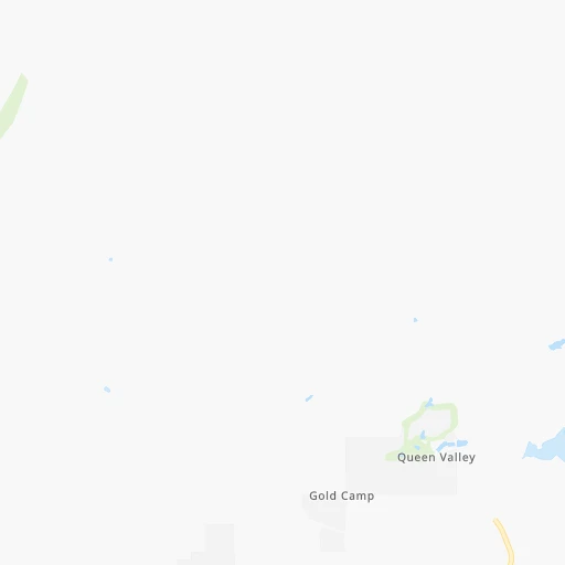
The flight distance (as the crow flies) between Superior Municipal (airport) and San Luis is 352.3 km.
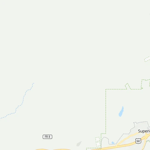
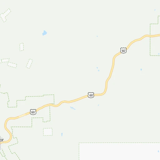
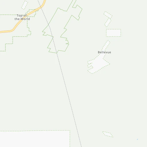
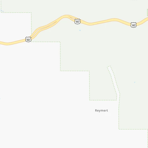
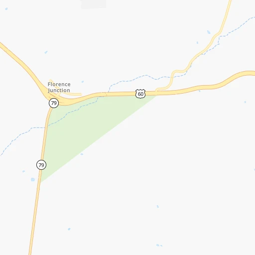
Roadmap (route) to go from Superior Municipal Airport to San Luis detailed above, you can also see the course layout on the map.
While doing trip Superior Municipal (airport) - San Luis by car, the calculated route ends at a distance , or more straight.
Distance and duration of the route between Superior Municipal (airport) and San Luis
Calculation of distance and route from San Luis to Superior Municipal (airport) :
352.3403.9 km5h36mn
Continue 0h0mn 54 mTurn slight left onto Apache Tear Road 0h1mn 507 mTurn left onto East US Highway 60 1h35mn 53.7 kmKeep right and drive toward Ellsworth Road 0h0mn 570 mTurn left onto South Ellsworth Road 0h2mn 2.6 kmTurn right onto East Guadalupe Road 0h1mn 812 mTurn left 0h18mn 27.5 kmKeep right and drive toward Dobson Road 0h1mn 645 mTurn left onto South Dobson Road 0h3mn 3.0 kmTurn right onto West Queen Creek Road 0h21mn 30.2 kmTurn right onto West Smith Enke Road 1h58mn 68.6 kmKeep right onto I 8 Bus, US 80 Hist and take I 8 West toward San Diego 2h36mn 169.3 kmKeep right onto I 8 Bus, US 80 Hist and take I 8 Business toward Avenue 8 1/2 E 0h1mn 624 mTurn left onto North Frontage Road 0h1mn 1.2 kmTurn right onto East 32nd Street 0h2mn 2.4 kmTurn left onto South Araby Road 1h34mn 40.9 kmTurn left onto 4th Avenue 0h1mn 806 mTurn right onto Urtuzuastegu Street 0h0mn 391 mArrive at destination 0h0mn 0 m
Travel from Superior Municipal (airport) (Arizona) to a selection of major cities.
Distances from Superior Municipal Airport to biggest cities in Arizona
- Catalina Foothills,50,796 inhabitants.111 km
- Maricopa,48,602 inhabitants.89 km
- Oro Valley,43,565 inhabitants.100 km
- Sierra Vista,43,355 inhabitants.207 km
- Prescott Valley,42,197 inhabitants.184 km
- Prescott,41,899 inhabitants.187 km
- Marana,41,315 inhabitants.95 km
- Bullhead City,39,445 inhabitants.379 km
- Apache Junction,38,074 inhabitants.42 km
- Sun City,37,499 inhabitants.112 km
- Queen Creek,34,614 inhabitants.47 km
- El Mirage,33,935 inhabitants.117 km
- San Luis,31,520 inhabitants.353 km
- Florence,31,110 inhabitants.37 km
- Kingman,28,912 inhabitants.343 km
- Drexel Heights,27,749 inhabitants.127 km
- Fortuna Foothills,26,265 inhabitants.315 km
- Sahuarita,25,707 inhabitants.148 km
- Sun City West,24,535 inhabitants.120 km
- Fountain Hills,23,899 inhabitants.66 km
Other major cities in country :
- Seattle [WA], 684,451 inhabitants. 1,851 km
- Denver [CO], 682,545 inhabitants. 904 km
- El Paso [TX], 681,124 inhabitants. 467 km
- Detroit [MI], 677,116 inhabitants. 2,652 km
- Boston [MA], 667,137 inhabitants. 3,629 km
- Memphis [TN], 655,770 inhabitants. 1,948 km
- New South Memphis [TN], 641,608 inhabitants. 1,947 km
- Portland [OR], 632,309 inhabitants. 1,683 km
- Oklahoma City [OK], 631,346 inhabitants. 1,273 km
- Las Vegas [NV], 623,747 inhabitants. 488 km
- Baltimore [MD], 621,849 inhabitants. 3,148 km
- Washington, D.C. [DC], 601,723 inhabitants. 3,111 km
- Milwaukee [WI], 600,155 inhabitants. 2,294 km
- South Boston [MA], 571,281 inhabitants. 3,629 km
- Albuquerque [NM], 559,121 inhabitants. 458 km
- Nashville [TN], 530,852 inhabitants. 2,244 km
- Fresno [CA], 520,052 inhabitants. 877 km
- Sacramento [CA], 490,712 inhabitants. 1,104 km
- Kansas City [MO], 475,378 inhabitants. 1,618 km
- Long Beach [CA], 474,140 inhabitants. 657 km
Route from San Luis to major cities (United States).
- Distance San Luis New York City3,722 km
- Distance San Luis Los Angeles366 km
- Distance San Luis Chicago2,608 km
- Distance San Luis Brooklyn3,727 km
- Distance San Luis Houston1,872 km
- Distance San Luis Queens3,736 km
- Distance San Luis Philadelphia3,623 km
- Distance San Luis Manhattan3,725 km
- Distance San Luis San Antonio1,590 km
- Distance San Luis San Diego225 km
- Distance San Luis The Bronx3,734 km
- Distance San Luis Dallas1,683 km
- Distance San Luis San Jose844 km
- Distance San Luis Austin1,636 km
- Distance San Luis Jacksonville3,144 km
- Distance San Luis San Francisco910 km
- Distance San Luis Columbus2,955 km
- Distance San Luis Fort Worth1,636 km
- Distance San Luis Indianapolis2,685 km
- Distance San Luis Charlotte3,137 km
Nearest cities to Superior Municipal (airport) :
- Phoenix, 1,563,025 inhabitants. 90 km
- Tucson, 531,641 inhabitants. 120 km
- Mesa, 471,825 inhabitants. 67 km
- Chandler, 260,828 inhabitants. 66 km
- Gilbert, 247,542 inhabitants. 62 km
- Glendale, 240,126 inhabitants. 102 km
- Scottsdale, 236,839 inhabitants. 76 km
- Tempe, 175,826 inhabitants. 74 km
- Peoria, 171,237 inhabitants. 108 km
- Tempe Junction, 158,368 inhabitants. 77 km
- Surprise, 128,422 inhabitants. 119 km
- San Tan Valley, 81,321 inhabitants. 39 km
- Avondale, 80,684 inhabitants. 115 km
- Goodyear, 79,003 inhabitants. 116 km
- Flagstaff, 70,320 inhabitants. 219 km
- Casas Adobes, 66,795 inhabitants. 107 km
- Casa Grande, 51,460 inhabitants. 74 km
- Buckeye, 50,876 inhabitants. 136 km
- Catalina Foothills, 50,796 inhabitants. 111 km
- Maricopa, 48,602 inhabitants. 89 km
- Oro Valley, 43,565 inhabitants. 100 km
- Sierra Vista, 43,355 inhabitants. 207 km
- Prescott Valley, 42,197 inhabitants. 184 km
- Prescott, 41,899 inhabitants. 187 km
- Marana, 41,315 inhabitants. 95 km
- Apache Junction, 38,074 inhabitants. 42 km
- Sun City, 37,499 inhabitants. 112 km
- Queen Creek, 34,614 inhabitants. 47 km
- El Mirage, 33,935 inhabitants. 117 km
- Florence, 31,110 inhabitants. 37 km
- Kingman, 28,912 inhabitants. 343 km
- Drexel Heights, 27,749 inhabitants. 127 km
- Sahuarita, 25,707 inhabitants. 148 km
- Sun City West, 24,535 inhabitants. 120 km
- Fountain Hills, 23,899 inhabitants. 66 km
- Gallup, 23,240 inhabitants. 332 km
- Anthem, 21,700 inhabitants. 115 km
- Green Valley, 21,391 inhabitants. 159 km
- Nogales, 20,252 inhabitants. 217 km
- Rio Rico, 18,962 inhabitants. 202 km
- Eloy, 17,059 inhabitants. 71 km
- Tanque Verde, 16,901 inhabitants. 120 km
- Douglas, 16,592 inhabitants. 262 km
- Flowing Wells, 16,419 inhabitants. 111 km
- Payson, 15,345 inhabitants. 107 km
- New River, 14,952 inhabitants. 117 km
- Sierra Vista Southeast, 14,797 inhabitants. 221 km
- Sun Lakes, 13,975 inhabitants. 70 km
- Paradise Valley, 13,922 inhabitants. 81 km
- Coolidge, 12,297 inhabitants. 50 km
Location Superior Municipal (airport) (Arizona) :
| Country flag |  |
| Location | Superior Municipal (airport) |
| State | Arizona |
| County | Pinal County |
| Country | United States |
| Country code / ISO 2 | US |
| Latitude | 33.2822900 |
| Longitude | -111.1272200 |
| Altitude | 805 meters |
| Time zone | America/Phoenix |
Location San Luis (Arizona) :
| Country flag | |
| Location | San Luis |
| State | Arizona |
| County | Yuma County |
| Country | United States |
| Country code / ISO 2 | US |
| Latitude | 32.4870000 |
| Longitude | -114.7821800 |
| Altitude | 40 meters |
| Time zone | America/Phoenix |