
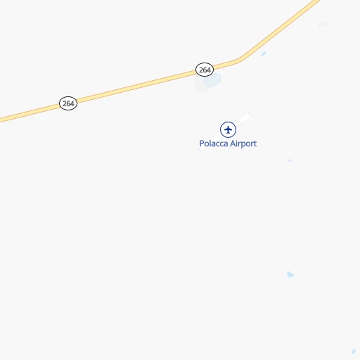

How to get from Polacca (airport) (Arizona) to Grants (New Mexico)
Calculate route from Polacca (airport) (Arizona, United States) to Grants (New Mexico, United States).
The flight distance (as the crow flies) between Polacca (airport) and Grants is 243.2 km.
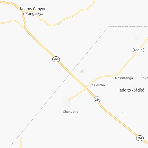
Roadmap (route) to go from Polacca Airport to Grants detailed above, you can also see the course layout on the map.
While doing trip Polacca (airport) - Grants by car, the calculated route ends at a distance , or more straight.
Distance and duration of the route between Polacca (airport) and Grants
Calculation of distance and route from Grants to Polacca (airport) :
243.2280.0 km3h27mn
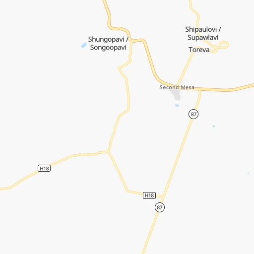
Continue 0h6mn 1.6 kmTurn right onto Arizona State Highway 264 1h12mn 83.8 kmAt roundabout, take exit 2 onto US 191 1h10mn 94.0 kmKeep left onto US 491 0h0mn 82 mTurn sharp left 1h53mn 93.2 kmKeep right onto I 40 Business and take NM 509, NM 605 toward Chaco Culture National Historical Park 0h0mn 424 mKeep left onto I 40 Business 0h0mn 64 mTurn left onto Horizon Boulevard 0h0mn 469 mKeep right onto I 40 Business 0h5mn 5.7 kmTurn right onto 5th Street 0h0mn 279 mTurn left onto San Jose Drive 0h0mn 121 mKeep right onto San Jose Drive 0h0mn 192 mArrive at destination 0h0mn 0 m
Travel from Polacca (airport) (New Mexico) to a selection of major cities.
Distances from Polacca Airport to biggest cities in Arizona
- Catalina Foothills,50,796 inhabitants.392 km
- Maricopa,48,602 inhabitants.339 km
- Oro Valley,43,565 inhabitants.382 km
- Sierra Vista,43,355 inhabitants.472 km
- Prescott Valley,42,197 inhabitants.217 km
- Prescott,41,899 inhabitants.233 km
- Marana,41,315 inhabitants.381 km
- Bullhead City,39,445 inhabitants.383 km
- Apache Junction,38,074 inhabitants.284 km
- Sun City,37,499 inhabitants.297 km
- Queen Creek,34,614 inhabitants.304 km
- El Mirage,33,935 inhabitants.299 km
- San Luis,31,520 inhabitants.545 km
- Florence,31,110 inhabitants.320 km
- Kingman,28,912 inhabitants.336 km
- Drexel Heights,27,749 inhabitants.410 km
- Fortuna Foothills,26,265 inhabitants.507 km
- Sahuarita,25,707 inhabitants.430 km
- Sun City West,24,535 inhabitants.295 km
- Fountain Hills,23,899 inhabitants.270 km
Other major cities in country :
- Seattle [WA], 684,451 inhabitants. 1,642 km
- Denver [CO], 682,545 inhabitants. 649 km
- El Paso [TX], 681,124 inhabitants. 578 km
- Detroit [MI], 677,116 inhabitants. 2,463 km
- Boston [MA], 667,137 inhabitants. 3,447 km
- Memphis [TN], 655,770 inhabitants. 1,845 km
- New South Memphis [TN], 641,608 inhabitants. 1,845 km
- Portland [OR], 632,309 inhabitants. 1,495 km
- Oklahoma City [OK], 631,346 inhabitants. 1,167 km
- Las Vegas [NV], 623,747 inhabitants. 427 km
- Baltimore [MD], 621,849 inhabitants. 2,992 km
- Washington, D.C. [DC], 601,723 inhabitants. 2,958 km
- Milwaukee [WI], 600,155 inhabitants. 2,089 km
- South Boston [MA], 571,281 inhabitants. 3,448 km
- Albuquerque [NM], 559,121 inhabitants. 351 km
- Nashville [TN], 530,852 inhabitants. 2,124 km
- Fresno [CA], 520,052 inhabitants. 846 km
- Sacramento [CA], 490,712 inhabitants. 1,029 km
- Kansas City [MO], 475,378 inhabitants. 1,446 km
- Long Beach [CA], 474,140 inhabitants. 745 km
Route from Grants to major cities (United States).
- Distance Grants New York City3,016 km
- Distance Grants Los Angeles959 km
- Distance Grants Chicago1,906 km
- Distance Grants Brooklyn3,021 km
- Distance Grants Houston1,316 km
- Distance Grants Queens3,030 km
- Distance Grants Philadelphia2,917 km
- Distance Grants Phoenix432 km
- Distance Grants Manhattan3,020 km
- Distance Grants San Antonio1,086 km
- Distance Grants San Diego901 km
- Distance Grants The Bronx3,028 km
- Distance Grants Dallas1,053 km
- Distance Grants San Jose1,283 km
- Distance Grants Austin1,091 km
- Distance Grants Jacksonville2,503 km
- Distance Grants San Francisco1,335 km
- Distance Grants Columbus2,250 km
- Distance Grants Fort Worth1,009 km
- Distance Grants Indianapolis1,979 km
Nearest cities to Polacca (airport) :
- Phoenix, 1,563,025 inhabitants. 302 km
- Mesa, 471,825 inhabitants. 294 km
- Chandler, 260,828 inhabitants. 306 km
- Gilbert, 247,542 inhabitants. 299 km
- Glendale, 240,126 inhabitants. 299 km
- Scottsdale, 236,839 inhabitants. 288 km
- Tempe, 175,826 inhabitants. 298 km
- Peoria, 171,237 inhabitants. 297 km
- Tempe Junction, 158,368 inhabitants. 299 km
- Surprise, 128,422 inhabitants. 298 km
- San Tan Valley, 81,321 inhabitants. 307 km
- Avondale, 80,684 inhabitants. 316 km
- Goodyear, 79,003 inhabitants. 317 km
- Flagstaff, 70,320 inhabitants. 130 km
- Casa Grande, 51,460 inhabitants. 347 km
- Buckeye, 50,876 inhabitants. 335 km
- Maricopa, 48,602 inhabitants. 339 km
- Farmington, 42,871 inhabitants. 223 km
- Prescott Valley, 42,197 inhabitants. 217 km
- Prescott, 41,899 inhabitants. 233 km
- Apache Junction, 38,074 inhabitants. 284 km
- Sun City, 37,499 inhabitants. 297 km
- Queen Creek, 34,614 inhabitants. 304 km
- El Mirage, 33,935 inhabitants. 299 km
- Florence, 31,110 inhabitants. 320 km
- Cedar City, 30,184 inhabitants. 315 km
- Sun City West, 24,535 inhabitants. 295 km
- Fountain Hills, 23,899 inhabitants. 270 km
- Gallup, 23,240 inhabitants. 155 km
- Anthem, 21,700 inhabitants. 266 km
- Montrose, 19,062 inhabitants. 375 km
- Durango, 18,006 inhabitants. 281 km
- Hurricane, 15,501 inhabitants. 299 km
- Payson, 15,345 inhabitants. 192 km
- New River, 14,952 inhabitants. 261 km
- Sun Lakes, 13,975 inhabitants. 317 km
- Paradise Valley, 13,922 inhabitants. 288 km
- Coolidge, 12,297 inhabitants. 329 km
- Cottonwood, 11,818 inhabitants. 186 km
- Verde Village, 11,605 inhabitants. 188 km
- West Sedona, 11,299 inhabitants. 163 km
- Camp Verde, 11,155 inhabitants. 189 km
- Chino Valley, 11,137 inhabitants. 218 km
- Show Low, 10,860 inhabitants. 175 km
- Sedona, 10,388 inhabitants. 159 km
- Gold Canyon, 10,159 inhabitants. 285 km
- Gold Camp, 10,159 inhabitants. 290 km
- Safford, 9,683 inhabitants. 336 km
- Winslow, 9,600 inhabitants. 89 km
- Grants, 9,239 inhabitants. 244 km
Location Polacca (airport) (Arizona) :
| Country flag |  |
| Location | Polacca (airport) |
| State | Arizona |
| County | Navajo County |
| Country | United States |
| Country code / ISO 2 | US |
| Latitude | 35.7934000 |
| Longitude | -110.4206400 |
| Altitude | 1698 meters |
| Time zone | America/Phoenix |
Location Grants (New Mexico) :
| Country flag | |
| Location | Grants |
| State | New Mexico |
| County | Cibola County |
| Country | United States |
| Country code / ISO 2 | US |
| Latitude | 35.1476000 |
| Longitude | -107.8526100 |
| Altitude | 1969 meters |
| Time zone | America/Denver |

