


How to get from Lazy B Ranch Airstrip (Arizona) to San Luis (Arizona)
Calculate route from Lazy B Ranch Airstrip (Arizona, United States) to San Luis (Arizona, United States).
The flight distance (as the crow flies) between Lazy B Ranch Airstrip and San Luis is 533.3 km.
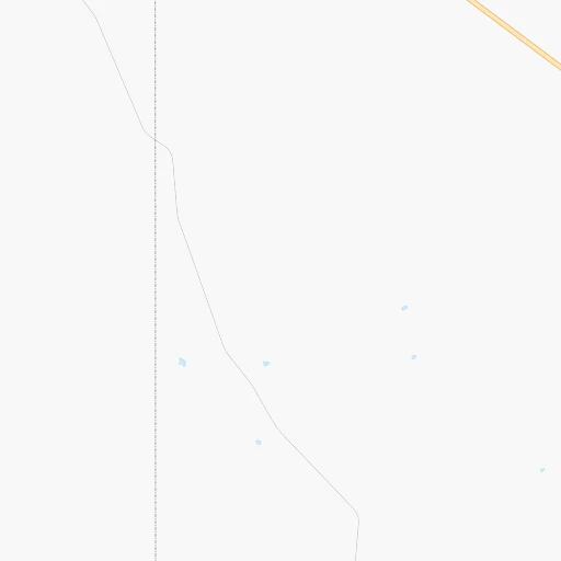
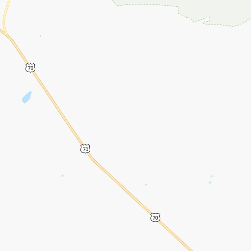
Roadmap (route) to go from Lazy B Ranch Airstrip to San Luis detailed above, you can also see the course layout on the map.
While doing trip Lazy B Ranch Airstrip - San Luis by car, the calculated route ends at a distance , or more straight.
Distance and duration of the route between Lazy B Ranch Airstrip and San Luis
Calculation of distance and route from San Luis to Lazy B Ranch Airstrip :
533.3665.6 km8h13mn
Continue 0h8mn 2.1 kmTurn right 0h4mn 1.1 kmKeep left 0h2mn 647 mKeep left 0h23mn 10.6 kmTurn left onto Duncan Highway 1h57mn 82.5 kmContinue onto West 5th Street 1h40mn 52.6 kmTurn slight right onto US 70 1h50mn 71.8 kmTurn right onto South Hill Street 0h1mn 554 mTurn left onto East Oak Street 0h0mn 111 mTurn right onto North Broad Street 0h1mn 788 mKeep right 1h9mn 93.2 kmKeep right and drive toward Ellsworth Road 0h0mn 570 mTurn left onto South Ellsworth Road 0h2mn 2.6 kmTurn right onto East Guadalupe Road 0h1mn 812 mTurn left 0h18mn 27.5 kmKeep right and drive toward Dobson Road 0h1mn 645 mTurn left onto South Dobson Road 0h3mn 3.0 kmTurn right onto West Queen Creek Road 0h21mn 30.2 kmTurn right onto West Smith Enke Road 1h58mn 68.6 kmKeep right onto I 8 Bus, US 80 Hist and take I 8 West toward San Diego 2h36mn 169.3 kmKeep right onto I 8 Bus, US 80 Hist and take I 8 Business toward Avenue 8 1/2 E 0h1mn 624 mTurn left onto North Frontage Road 0h1mn 1.2 kmTurn right onto East 32nd Street 0h2mn 2.4 kmTurn left onto South Araby Road 1h34mn 40.9 kmTurn left onto 4th Avenue 0h1mn 806 mTurn right onto Urtuzuastegu Street 0h0mn 391 mArrive at destination 0h0mn 0 m
Travel from Lazy B Ranch Airstrip (Arizona) to a selection of major cities.
Distances from Lazy B Ranch Airstrip to biggest cities in Arizona
- Catalina Foothills,50,796 inhabitants.174 km
- Maricopa,48,602 inhabitants.282 km
- Oro Valley,43,565 inhabitants.177 km
- Sierra Vista,43,355 inhabitants.160 km
- Prescott Valley,42,197 inhabitants.377 km
- Prescott,41,899 inhabitants.383 km
- Marana,41,315 inhabitants.201 km
- Bullhead City,39,445 inhabitants.583 km
- Apache Junction,38,074 inhabitants.249 km
- Sun City,37,499 inhabitants.319 km
- Queen Creek,34,614 inhabitants.250 km
- El Mirage,33,935 inhabitants.324 km
- San Luis,31,520 inhabitants.534 km
- Florence,31,110 inhabitants.221 km
- Kingman,28,912 inhabitants.544 km
- Drexel Heights,27,749 inhabitants.188 km
- Fortuna Foothills,26,265 inhabitants.499 km
- Sahuarita,25,707 inhabitants.188 km
- Sun City West,24,535 inhabitants.327 km
- Fountain Hills,23,899 inhabitants.272 km
Other major cities in country :
- Seattle [WA], 684,451 inhabitants. 2,013 km
- Denver [CO], 682,545 inhabitants. 880 km
- El Paso [TX], 681,124 inhabitants. 261 km
- Detroit [MI], 677,116 inhabitants. 2,532 km
- Boston [MA], 667,137 inhabitants. 3,500 km
- Memphis [TN], 655,770 inhabitants. 1,781 km
- New South Memphis [TN], 641,608 inhabitants. 1,780 km
- Portland [OR], 632,309 inhabitants. 1,856 km
- Oklahoma City [OK], 631,346 inhabitants. 1,115 km
- Las Vegas [NV], 623,747 inhabitants. 686 km
- Baltimore [MD], 621,849 inhabitants. 3,005 km
- Washington, D.C. [DC], 601,723 inhabitants. 2,965 km
- Milwaukee [WI], 600,155 inhabitants. 2,189 km
- South Boston [MA], 571,281 inhabitants. 3,501 km
- Albuquerque [NM], 559,121 inhabitants. 361 km
- Nashville [TN], 530,852 inhabitants. 2,084 km
- Fresno [CA], 520,052 inhabitants. 1,083 km
- Sacramento [CA], 490,712 inhabitants. 1,307 km
- Kansas City [MO], 475,378 inhabitants. 1,496 km
- Long Beach [CA], 474,140 inhabitants. 858 km
Route from San Luis to major cities (United States).
- Distance San Luis New York City3,722 km
- Distance San Luis Los Angeles366 km
- Distance San Luis Chicago2,608 km
- Distance San Luis Brooklyn3,727 km
- Distance San Luis Houston1,872 km
- Distance San Luis Queens3,736 km
- Distance San Luis Philadelphia3,623 km
- Distance San Luis Manhattan3,725 km
- Distance San Luis San Antonio1,590 km
- Distance San Luis San Diego225 km
- Distance San Luis The Bronx3,734 km
- Distance San Luis Dallas1,683 km
- Distance San Luis San Jose844 km
- Distance San Luis Austin1,636 km
- Distance San Luis Jacksonville3,144 km
- Distance San Luis San Francisco910 km
- Distance San Luis Columbus2,955 km
- Distance San Luis Fort Worth1,636 km
- Distance San Luis Indianapolis2,685 km
- Distance San Luis Charlotte3,137 km
Nearest cities to Lazy B Ranch Airstrip :
- Phoenix, 1,563,025 inhabitants. 296 km
- El Paso, 681,124 inhabitants. 261 km
- Albuquerque, 559,121 inhabitants. 361 km
- Tucson, 531,641 inhabitants. 177 km
- Mesa, 471,825 inhabitants. 273 km
- Chandler, 260,828 inhabitants. 270 km
- Gilbert, 247,542 inhabitants. 267 km
- Scottsdale, 236,839 inhabitants. 283 km
- Tempe, 175,826 inhabitants. 280 km
- Tempe Junction, 158,368 inhabitants. 283 km
- Las Cruces, 101,643 inhabitants. 219 km
- Enchanted Hills, 87,521 inhabitants. 386 km
- Rio Rancho, 87,521 inhabitants. 373 km
- San Tan Valley, 81,321 inhabitants. 239 km
- Flagstaff, 70,320 inhabitants. 378 km
- Casas Adobes, 66,795 inhabitants. 181 km
- Casa Grande, 51,460 inhabitants. 252 km
- Catalina Foothills, 50,796 inhabitants. 174 km
- Maricopa, 48,602 inhabitants. 282 km
- Oro Valley, 43,565 inhabitants. 177 km
- Sierra Vista, 43,355 inhabitants. 160 km
- Marana, 41,315 inhabitants. 201 km
- South Valley, 40,976 inhabitants. 353 km
- Apache Junction, 38,074 inhabitants. 249 km
- Queen Creek, 34,614 inhabitants. 250 km
- Socorro, 33,222 inhabitants. 281 km
- Florence, 31,110 inhabitants. 221 km
- Socorro Mission Number 1 Colonia, 28,637 inhabitants. 283 km
- Drexel Heights, 27,749 inhabitants. 188 km
- Sahuarita, 25,707 inhabitants. 188 km
- Fountain Hills, 23,899 inhabitants. 272 km
- Gallup, 23,240 inhabitants. 333 km
- Green Valley, 21,391 inhabitants. 196 km
- Nogales, 20,252 inhabitants. 221 km
- Horizon City, 19,288 inhabitants. 288 km
- Rio Rico, 18,962 inhabitants. 215 km
- Eloy, 17,059 inhabitants. 232 km
- Tanque Verde, 16,901 inhabitants. 158 km
- Douglas, 16,592 inhabitants. 141 km
- Flowing Wells, 16,419 inhabitants. 183 km
- Sunland Park, 15,940 inhabitants. 251 km
- Payson, 15,345 inhabitants. 279 km
- Los Lunas, 15,336 inhabitants. 332 km
- Sierra Vista Southeast, 14,797 inhabitants. 162 km
- Chaparral, 14,631 inhabitants. 261 km
- Deming, 14,522 inhabitants. 129 km
- Sun Lakes, 13,975 inhabitants. 270 km
- Paradise Valley, 13,922 inhabitants. 287 km
- Coolidge, 12,297 inhabitants. 232 km
- Tucson Estates, 12,192 inhabitants. 193 km
Location Lazy B Ranch Airstrip (Arizona) :
| Country flag |  |
| Location | Lazy B Ranch Airstrip |
| State | Arizona |
| County | Greenlee County |
| Country | United States |
| Country code / ISO 2 | US |
| Latitude | 32.5550700 |
| Longitude | -109.0900600 |
| Altitude | 1261 meters |
| Time zone | America/Phoenix |
Location San Luis (Arizona) :
| Country flag | |
| Location | San Luis |
| State | Arizona |
| County | Yuma County |
| Country | United States |
| Country code / ISO 2 | US |
| Latitude | 32.4870000 |
| Longitude | -114.7821800 |
| Altitude | 40 meters |
| Time zone | America/Phoenix |