
How to get from Fye Airstrip (Arizona) to Nogales (Arizona)
Calculate route from Fye Airstrip (Arizona, United States) to Nogales (Arizona, United States).
The flight distance (as the crow flies) between Fye Airstrip and Nogales is 189.4 km.
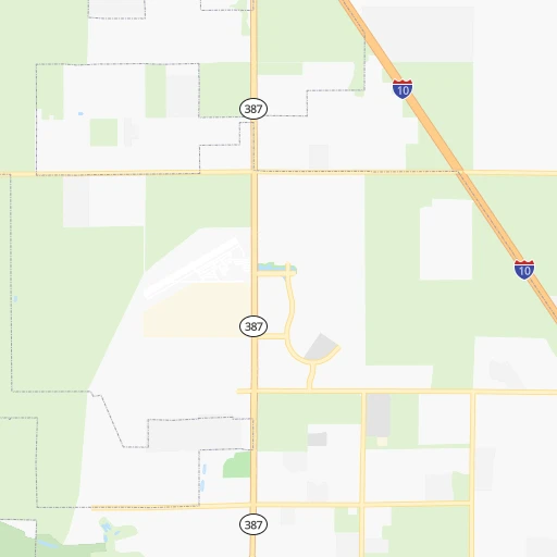
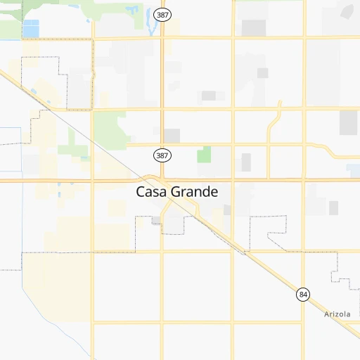
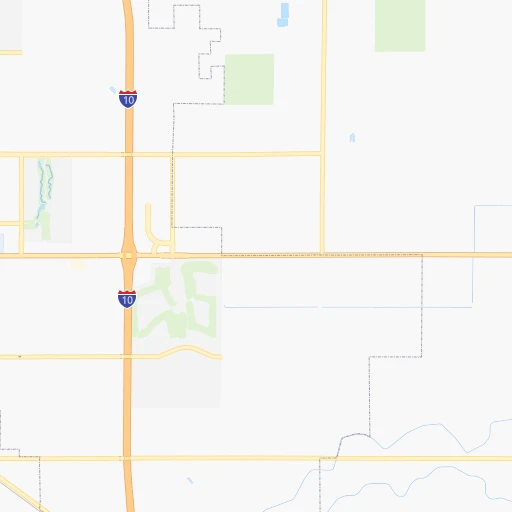
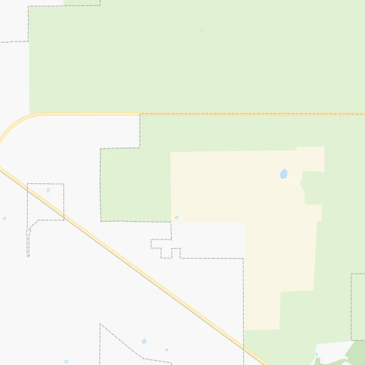
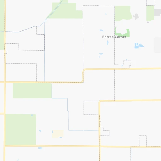
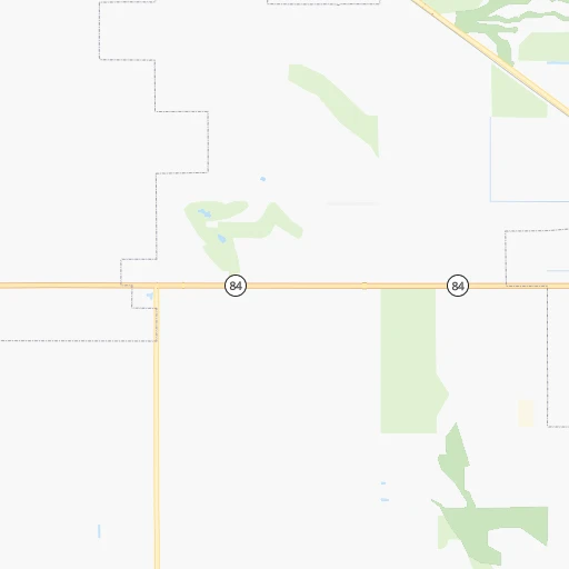
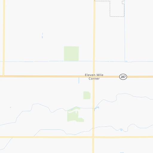
Roadmap (route) to go from Fye Airstrip to Nogales detailed above, you can also see the course layout on the map.
While doing trip Fye Airstrip - Nogales by car, the calculated route ends at a distance , or more straight.
Distance and duration of the route between Fye Airstrip and Nogales
Calculation of distance and route from Nogales to Fye Airstrip :
189.4213.4 km2h15mn
Continue onto East Amaya Street 0h0mn 139 mTurn left onto North Friar Road 0h2mn 790 mTurn left onto West Kortsen Road 0h1mn 417 mTurn right onto North Henness Road 0h3mn 1.6 kmTurn right onto East Cottonwood Lane 0h0mn 408 mMake a U-turn onto East Cottonwood Lane 0h0mn 425 mTurn right onto North Henness Road 0h2mn 1.6 kmTurn left onto East Florence Boulevard 0h2mn 1.6 kmTurn right and take I 10 East toward Tucson 1h53mn 91.4 kmKeep left 0h8mn 13.1 kmKeep right onto Nogales-Tucson Highway 1h56mn 93.8 kmKeep left onto I 19 Bus and take I 19 Business toward Grand Avenue 0h7mn 7.6 kmTurn left 0h0mn 40 mTurn right onto North Morley Avenue 0h1mn 419 mTurn left onto North Wayside Drive 0h0mn 28 mArrive at destination 0h0mn 0 m
Travel from Fye Airstrip (Arizona) to a selection of major cities.
Distances from Fye Airstrip to biggest cities in Arizona
- Catalina Foothills,50,796 inhabitants.101 km
- Maricopa,48,602 inhabitants.36 km
- Oro Valley,43,565 inhabitants.90 km
- Sierra Vista,43,355 inhabitants.201 km
- Prescott Valley,42,197 inhabitants.197 km
- Prescott,41,899 inhabitants.194 km
- Marana,41,315 inhabitants.70 km
- Bullhead City,39,445 inhabitants.363 km
- Apache Junction,38,074 inhabitants.57 km
- Sun City,37,499 inhabitants.93 km
- Queen Creek,34,614 inhabitants.37 km
- El Mirage,33,935 inhabitants.97 km
- San Luis,31,520 inhabitants.293 km
- Florence,31,110 inhabitants.32 km
- Kingman,28,912 inhabitants.333 km
- Drexel Heights,27,749 inhabitants.107 km
- Fortuna Foothills,26,265 inhabitants.255 km
- Sahuarita,25,707 inhabitants.128 km
- Sun City West,24,535 inhabitants.102 km
- Fountain Hills,23,899 inhabitants.77 km
Other major cities in country :
- Seattle [WA], 684,451 inhabitants. 1,864 km
- Denver [CO], 682,545 inhabitants. 969 km
- El Paso [TX], 681,124 inhabitants. 507 km
- Detroit [MI], 677,116 inhabitants. 2,719 km
- Boston [MA], 667,137 inhabitants. 3,695 km
- Memphis [TN], 655,770 inhabitants. 2,009 km
- New South Memphis [TN], 641,608 inhabitants. 2,008 km
- Portland [OR], 632,309 inhabitants. 1,689 km
- Oklahoma City [OK], 631,346 inhabitants. 1,335 km
- Las Vegas [NV], 623,747 inhabitants. 480 km
- Baltimore [MD], 621,849 inhabitants. 3,213 km
- Washington, D.C. [DC], 601,723 inhabitants. 3,176 km
- Milwaukee [WI], 600,155 inhabitants. 2,361 km
- South Boston [MA], 571,281 inhabitants. 3,696 km
- Albuquerque [NM], 559,121 inhabitants. 525 km
- Nashville [TN], 530,852 inhabitants. 2,307 km
- Fresno [CA], 520,052 inhabitants. 851 km
- Sacramento [CA], 490,712 inhabitants. 1,085 km
- Kansas City [MO], 475,378 inhabitants. 1,685 km
- Long Beach [CA], 474,140 inhabitants. 611 km
Route from Nogales to major cities (United States).
- Distance Nogales New York City3,456 km
- Distance Nogales Los Angeles748 km
- Distance Nogales Chicago2,376 km
- Distance Nogales Brooklyn3,460 km
- Distance Nogales Houston1,502 km
- Distance Nogales Queens3,470 km
- Distance Nogales Philadelphia3,350 km
- Distance Nogales Manhattan3,460 km
- Distance Nogales San Antonio1,213 km
- Distance Nogales San Diego607 km
- Distance Nogales The Bronx3,469 km
- Distance Nogales Dallas1,341 km
- Distance Nogales San Jose1,207 km
- Distance Nogales Austin1,266 km
- Distance Nogales Jacksonville2,793 km
- Distance Nogales San Francisco1,272 km
- Distance Nogales Columbus2,689 km
- Distance Nogales Fort Worth1,293 km
- Distance Nogales Indianapolis2,422 km
- Distance Nogales Charlotte2,822 km
Nearest cities to Fye Airstrip :
- Phoenix, 1,563,025 inhabitants. 69 km
- Tucson, 531,641 inhabitants. 106 km
- Mesa, 471,825 inhabitants. 57 km
- Chandler, 260,828 inhabitants. 45 km
- Gilbert, 247,542 inhabitants. 49 km
- Glendale, 240,126 inhabitants. 83 km
- Scottsdale, 236,839 inhabitants. 68 km
- Tempe, 175,826 inhabitants. 59 km
- Peoria, 171,237 inhabitants. 89 km
- Tempe Junction, 158,368 inhabitants. 60 km
- Surprise, 128,422 inhabitants. 99 km
- Yuma, 94,139 inhabitants. 274 km
- San Tan Valley, 81,321 inhabitants. 35 km
- Avondale, 80,684 inhabitants. 84 km
- Goodyear, 79,003 inhabitants. 84 km
- Flagstaff, 70,320 inhabitants. 254 km
- Casas Adobes, 66,795 inhabitants. 93 km
- Lake Havasu City, 53,553 inhabitants. 299 km
- Casa Grande, 51,460 inhabitants. 7 km
- Buckeye, 50,876 inhabitants. 97 km
- Catalina Foothills, 50,796 inhabitants. 101 km
- Maricopa, 48,602 inhabitants. 36 km
- Oro Valley, 43,565 inhabitants. 90 km
- Sierra Vista, 43,355 inhabitants. 201 km
- Prescott Valley, 42,197 inhabitants. 197 km
- Prescott, 41,899 inhabitants. 194 km
- Marana, 41,315 inhabitants. 70 km
- Bullhead City, 39,445 inhabitants. 363 km
- Apache Junction, 38,074 inhabitants. 57 km
- Sun City, 37,499 inhabitants. 93 km
- Queen Creek, 34,614 inhabitants. 37 km
- El Mirage, 33,935 inhabitants. 97 km
- Florence, 31,110 inhabitants. 32 km
- Kingman, 28,912 inhabitants. 333 km
- Drexel Heights, 27,749 inhabitants. 107 km
- Fortuna Foothills, 26,265 inhabitants. 255 km
- Sahuarita, 25,707 inhabitants. 128 km
- Sun City West, 24,535 inhabitants. 102 km
- Fountain Hills, 23,899 inhabitants. 77 km
- Gallup, 23,240 inhabitants. 398 km
- Anthem, 21,700 inhabitants. 114 km
- Green Valley, 21,391 inhabitants. 136 km
- Nogales, 20,252 inhabitants. 190 km
- Blythe, 19,208 inhabitants. 280 km
- Rio Rico, 18,962 inhabitants. 175 km
- Eloy, 17,059 inhabitants. 23 km
- Tanque Verde, 16,901 inhabitants. 117 km
- Douglas, 16,592 inhabitants. 268 km
- Flowing Wells, 16,419 inhabitants. 95 km
- Payson, 15,345 inhabitants. 150 km
Location Fye Airstrip (Arizona) :
| Country flag |  |
| Location | Fye Airstrip |
| State | Arizona |
| County | Pinal County |
| Country | United States |
| Country code / ISO 2 | US |
| Latitude | 32.9167300 |
| Longitude | -111.7006800 |
| Altitude | 428 meters |
| Time zone | America/Phoenix |
Location Nogales (Arizona) :
| Country flag | |
| Location | Nogales |
| State | Arizona |
| County | Santa Cruz County |
| Country | United States |
| Country code / ISO 2 | US |
| Latitude | 31.3403800 |
| Longitude | -110.9342500 |
| Altitude | 1168 meters |
| Time zone | America/Phoenix |


