
How to get from Viroqua Municipal (airport) (Wisconsin) to Menomonee Falls (Wisconsin)
Calculate route from Viroqua Municipal (airport) (Wisconsin, United States) to Menomonee Falls (Wisconsin, United States).
The flight distance (as the crow flies) between Viroqua Municipal (airport) and Menomonee Falls is 228.6 km.
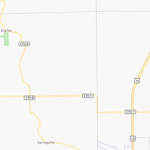
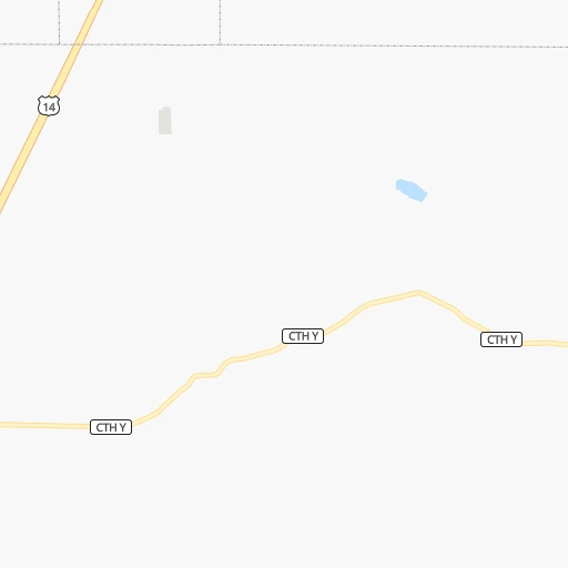
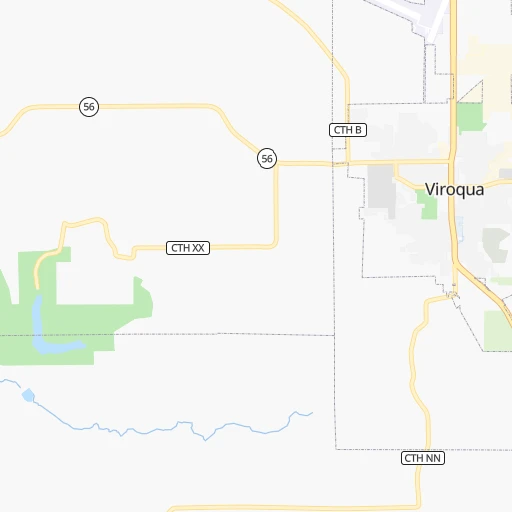
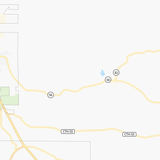
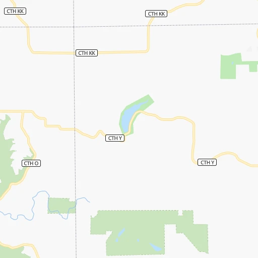
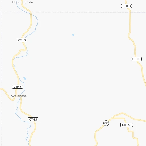
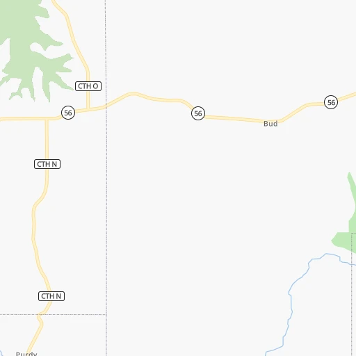
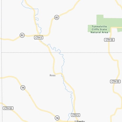
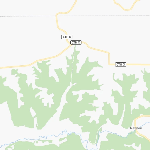
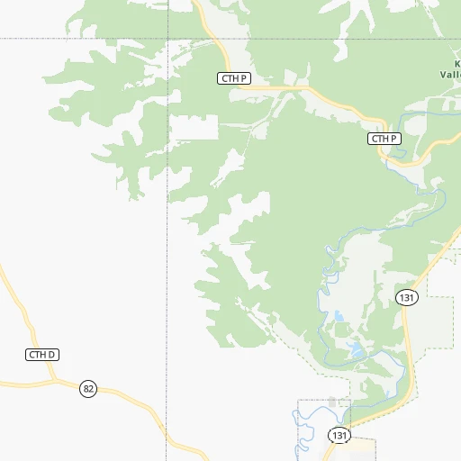
Roadmap (route) to go from Viroqua Municipal Airport to Menomonee Falls detailed above, you can also see the course layout on the map.
While doing trip Viroqua Municipal (airport) - Menomonee Falls by car, the calculated route ends at a distance , or more straight.
Distance and duration of the route between Viroqua Municipal (airport) and Menomonee Falls
Calculation of distance and route from Menomonee Falls to Viroqua Municipal (airport) :
228.6276.8 km4h31mn
Continue onto Ellis West Road 0h1mn 278 mTurn left onto Airport Road 0h1mn 386 mTurn right onto North Main Street 0h3mn 2.0 kmTurn left onto East Decker Street 0h16mn 20.9 kmTurn right onto South Main Street 0h21mn 28.3 kmTurn right onto State Highway 80 0h6mn 7.0 kmKeep left onto US Highway 14 0h3mn 2.8 kmTurn slight right onto US Highway 14 1h47mn 56.1 kmTurn left onto Cramer Street 0h1mn 605 mTurn slight right onto East Hudson Street 0h2mn 1.7 kmTurn left onto State Highway 19/78 0h1mn 1.1 kmTurn right onto State Highway 19 0h14mn 15.5 kmTurn right onto US 12, WI 19 0h2mn 2.4 kmTurn left onto State Highway 19 0h7mn 7.9 kmAt roundabout, take exit 2 onto West Main Street 0h4mn 4.1 kmAt roundabout, take exit 2 onto State Highway 19 0h0mn 376 mContinue onto WI 19 0h3mn 3.5 kmAt roundabout, take exit 2 onto WI 19 0h1mn 1.6 kmTurn right and take I 39 South, I 90 East, I 94 East toward Madison 0h7mn 10.9 kmKeep left onto I 94 and take I 94 toward Milwaukee 1h52mn 89.2 kmKeep right and take CTH F toward Waukesha, Sussex 0h0mn 450 mKeep left and take CTH F North toward Waukesha, Sussex 0h0mn 76 mTurn left onto Redford Boulevard 0h8mn 9.6 kmKeep right 0h2mn 2.1 kmTurn left onto Town Line Road 0h1mn 684 mAt roundabout, take exit 1 onto West Main Street 0h8mn 7.4 kmTurn sharp left onto Appleton Avenue 0h0mn 7 mArrive at destination 0h0mn 0 m
Travel from Viroqua Municipal (airport) (Wisconsin) to a selection of major cities.
Distances from Viroqua Municipal Airport to biggest cities in Wisconsin
- Beloit,36,891 inhabitants.193 km
- Franklin,36,222 inhabitants.244 km
- Menomonee Falls,36,119 inhabitants.229 km
- Oak Creek,35,243 inhabitants.258 km
- Manitowoc,33,010 inhabitants.266 km
- Sun Prairie,32,365 inhabitants.143 km
- West Bend,31,695 inhabitants.220 km
- Fitchburg,27,996 inhabitants.134 km
- Stevens Point,26,604 inhabitants.149 km
- Superior,26,579 inhabitants.363 km
- Mount Pleasant,26,272 inhabitants.266 km
- Neenah,25,792 inhabitants.207 km
- Muskego,24,755 inhabitants.236 km
- De Pere,24,724 inhabitants.247 km
- Caledonia,24,684 inhabitants.256 km
- Watertown,23,819 inhabitants.180 km
- Mequon,23,132 inhabitants.235 km
- South Milwaukee,21,233 inhabitants.257 km
- Pleasant Prairie,20,726 inhabitants.266 km
Other major cities in country :
- Charlotte [NC], 827,097 inhabitants. 1,268 km
- Seattle [WA], 684,451 inhabitants. 2,472 km
- Denver [CO], 682,545 inhabitants. 1,245 km
- El Paso [TX], 681,124 inhabitants. 1,896 km
- Detroit [MI], 677,116 inhabitants. 654 km
- Boston [MA], 667,137 inhabitants. 1,617 km
- Memphis [TN], 655,770 inhabitants. 941 km
- New South Memphis [TN], 641,608 inhabitants. 948 km
- Portland [OR], 632,309 inhabitants. 2,514 km
- Oklahoma City [OK], 631,346 inhabitants. 1,066 km
- Las Vegas [NV], 623,747 inhabitants. 2,219 km
- Baltimore [MD], 621,849 inhabitants. 1,282 km
- Washington, D.C. [DC], 601,723 inhabitants. 1,270 km
- South Boston [MA], 571,281 inhabitants. 1,619 km
- Albuquerque [NM], 559,121 inhabitants. 1,649 km
- Tucson [AZ], 531,641 inhabitants. 2,157 km
- Nashville [TN], 530,852 inhabitants. 896 km
- Fresno [CA], 520,052 inhabitants. 2,557 km
- Sacramento [CA], 490,712 inhabitants. 2,612 km
- Kansas City [MO], 475,378 inhabitants. 586 km
Route from Menomonee Falls to major cities (United States).
- Distance Menomonee Falls New York City1,199 km
- Distance Menomonee Falls Los Angeles2,792 km
- Distance Menomonee Falls Chicago153 km
- Distance Menomonee Falls Brooklyn1,205 km
- Distance Menomonee Falls Houston1,627 km
- Distance Menomonee Falls Queens1,213 km
- Distance Menomonee Falls Philadelphia1,136 km
- Distance Menomonee Falls Phoenix2,345 km
- Distance Menomonee Falls Manhattan1,199 km
- Distance Menomonee Falls San Antonio1,789 km
- Distance Menomonee Falls San Diego2,785 km
- Distance Menomonee Falls The Bronx1,205 km
- Distance Menomonee Falls Dallas1,384 km
- Distance Menomonee Falls San Jose2,921 km
- Distance Menomonee Falls Austin1,672 km
- Distance Menomonee Falls Jacksonville1,541 km
- Distance Menomonee Falls San Francisco2,945 km
- Distance Menomonee Falls Columbus557 km
- Distance Menomonee Falls Fort Worth1,415 km
- Distance Menomonee Falls Indianapolis413 km
Nearest cities to Viroqua Municipal (airport) :
- Milwaukee, 600,155 inhabitants. 249 km
- Minneapolis, 410,939 inhabitants. 245 km
- Saint Paul, 285,068 inhabitants. 232 km
- Madison, 248,951 inhabitants. 133 km
- Des Moines, 210,330 inhabitants. 313 km
- Aurora, 200,661 inhabitants. 292 km
- Rockford, 148,278 inhabitants. 207 km
- Joliet, 147,861 inhabitants. 324 km
- Naperville, 147,100 inhabitants. 300 km
- Cedar Rapids, 130,405 inhabitants. 185 km
- Peoria, 115,070 inhabitants. 339 km
- North Peoria, 113,004 inhabitants. 336 km
- Rochester, 112,225 inhabitants. 136 km
- Elgin, 112,111 inhabitants. 274 km
- Green Bay, 105,207 inhabitants. 253 km
- Davenport, 102,582 inhabitants. 230 km
- Bloomington, 86,435 inhabitants. 238 km
- Brooklyn Park, 79,149 inhabitants. 259 km
- Arlington Heights, 75,926 inhabitants. 290 km
- Plymouth, 75,907 inhabitants. 259 km
- Schaumburg, 74,693 inhabitants. 287 km
- Bolingbrook, 74,306 inhabitants. 312 km
- Iowa City, 74,220 inhabitants. 220 km
- Appleton, 74,139 inhabitants. 213 km
- Waukesha, 71,970 inhabitants. 225 km
- Palatine, 69,308 inhabitants. 285 km
- Waterloo, 68,460 inhabitants. 169 km
- Maple Grove, 68,385 inhabitants. 263 km
- Woodbury, 67,855 inhabitants. 223 km
- Eau Claire, 67,778 inhabitants. 146 km
- Oshkosh, 66,555 inhabitants. 195 km
- Eagan, 66,286 inhabitants. 227 km
- Ames, 65,060 inhabitants. 281 km
- Janesville, 64,123 inhabitants. 182 km
- West Des Moines, 64,113 inhabitants. 321 km
- Eden Prairie, 63,496 inhabitants. 250 km
- West Coon Rapids, 62,528 inhabitants. 263 km
- Coon Rapids, 62,240 inhabitants. 256 km
- Blaine, 62,124 inhabitants. 256 km
- Burnsville, 61,481 inhabitants. 232 km
- Lakeville, 60,633 inhabitants. 222 km
- West Allis, 60,620 inhabitants. 242 km
- Dubuque, 58,799 inhabitants. 121 km
- Ankeny, 56,764 inhabitants. 303 km
- Mount Prospect, 54,747 inhabitants. 294 km
- Wheaton, 53,715 inhabitants. 297 km
- La Crosse, 52,306 inhabitants. 37 km
- Hoffman Estates, 52,138 inhabitants. 286 km
- Minnetonka, 51,669 inhabitants. 256 km
- Apple Valley, 51,221 inhabitants. 226 km
Location Viroqua Municipal (airport) (Wisconsin) :
| Country flag |  |
| Location | Viroqua Municipal (airport) |
| State | Wisconsin |
| County | Vernon County |
| Country | United States |
| Country code / ISO 2 | US |
| Latitude | 43.5770800 |
| Longitude | -90.8945500 |
| Altitude | 392 meters |
| Time zone | America/Chicago |
Location Menomonee Falls (Wisconsin) :
| Country flag | |
| Location | Menomonee Falls |
| State | Wisconsin |
| County | Waukesha County |
| Country | United States |
| Country code / ISO 2 | US |
| Latitude | 43.1789000 |
| Longitude | -88.1173100 |
| Altitude | 261 meters |
| Time zone | America/Chicago |


