
How to get from Kettle Moraine (airport) (Wisconsin) to San Antonio (Texas)
Calculate route from Kettle Moraine (airport) (Wisconsin, United States) to San Antonio (Texas, United States).
The flight distance (as the crow flies) between Kettle Moraine (airport) and San Antonio is 1,827.1 km.
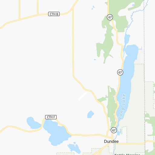
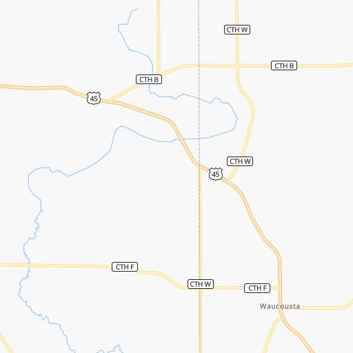
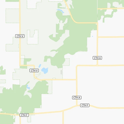
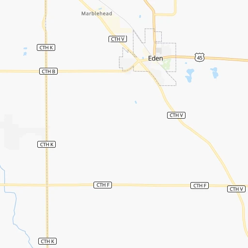
Roadmap (route) to go from Kettle Moraine Airport to San Antonio detailed above, you can also see the course layout on the map.
While doing trip Kettle Moraine (airport) - San Antonio by car, the calculated route ends at a distance , or more straight.
Distance and duration of the route between Kettle Moraine (airport) and San Antonio
Calculation of distance and route from San Antonio to Kettle Moraine (airport) :
1,827.12,120.4 km22h51mn
Continue 0h0mn 73 mTurn left onto Airport Road 0h1mn 745 mTurn right onto Vista Drive 0h2mn 1.9 kmTurn left onto County Road F 0h0mn 105 mTurn right onto 1st Street 0h1mn 266 mTurn right onto State Highway 67 0h6mn 5.9 kmKeep left onto US 45 1h33mn 47.3 kmKeep right onto WI 167 and take WI 167 East, CTH Y toward Lannon Road, Mequon Road 0h0mn 294 mKeep right and take CTH Y toward Lannon Road 0h1mn 1.0 kmAt roundabout, take exit 2 onto Lannon Road 0h7mn 6.4 kmTurn right onto West Main Street 0h2mn 2.0 kmAt roundabout, take exit 3 onto Town Line Road 0h1mn 669 mKeep right 0h2mn 2.0 kmTurn left onto Waukesha Avenue 0h11mn 12.5 kmKeep left and drive toward East Moreland Boulevard 0h0mn 138 mTurn left onto West Moreland Boulevard 0h1mn 302 mKeep right 0h0mn 32 mTurn right onto White Rock Avenue 0h1mn 1.1 kmTurn right onto West Main Street 0h0mn 101 mTurn left onto North East Avenue 0h6mn 3.8 kmKeep left 0h0mn 157 mTurn right onto Les Paul Parkway 0h0mn 13 mTurn left 0h7mn 7.6 kmTurn right and take I 43 South toward Beloit 1h48mn 79.8 kmKeep left 0h20mn 32.5 kmKeep right onto I 39, US 51 and take I 39, US 51 South toward Bloomington 0h3mn 4.8 kmKeep right onto I 39, US 51 and take I 39, US 51 South toward Bloomington, Normal 2h1mn 204.6 kmKeep right onto I 55 and take I 55 South toward Saint Louis, Springfield 1h2mn 104.2 kmKeep left onto I 55 and take I 55 South toward Saint Louis 1h26mn 143.9 kmKeep left onto I 55, US 40 and take I 55 South, I 64, IL 3, US 40 West toward Louisville, Saint Louis 0h2mn 2.8 kmKeep right onto I 55, IL 3 and take IL 3 South toward Cahokia 0h2mn 2.6 kmKeep right onto I 55 and take I 44 West, I 55 South, I 44 East toward Tulsa, Memphis, Kansas City, Walnut Street 0h2mn 2.1 kmKeep right onto Officer David Haynes Memorial Highway 5h23mn 541.7 kmKeep right and take US 69 toward Big Cabin 0h0mn 451 mKeep right 0h0mn 161 mKeep left 0h0mn 76 mTurn left onto US 69 2h42mn 147.9 kmKeep right onto US 69 Business and take US 69 Buiness South toward Eufaula 1h34mn 53.5 kmContinue onto US 69 2h19mn 229.1 kmKeep right onto Central Expressway 0h7mn 12.2 kmKeep right onto North Central Expressway 0h14mn 23.8 kmKeep right and drive toward Live Oak Street 0h0mn 426 mTurn slight right onto Live Oak Street 0h0mn 40 mTurn sharp left onto North Pearl Street 0h1mn 623 mTurn right 0h0mn 174 mTurn left onto South Harwood Street 0h0mn 96 mTurn right onto Canton Street 0h0mn 152 mContinue onto Canton Street 0h0mn 492 mKeep left toward I 30 West 0h0mn 540 mKeep left and take I 35E South, I 35E North toward Waco, Denton 0h0mn 195 mKeep left and take I 35E North, I 35E South toward Denton, Waco 0h0mn 44 mKeep left and take I 35E South toward Waco 2h6mn 217.3 kmKeep left onto I 35 1h52mn 90.0 kmContinue onto Purple Heart Trail and drive toward 32nd Street, Dean Keeton Street 1h8mn 113.3 kmKeep right toward I 410 West, Loop 368 South 0h1mn 699 mKeep right and take Loop 368 South toward Alamo Heights 0h7mn 8.2 kmTurn left onto Broadway 0h6mn 6.3 kmTurn right onto East Travis Street 0h1mn 662 mTurn left onto North Flores Street 0h0mn 367 mTurn left onto Dolorosa Street 0h0mn 99 mArrive at destination 0h0mn 0 m
Travel from Kettle Moraine (airport) (Texas) to a selection of major cities.
Distances from Kettle Moraine Airport to biggest cities in Wisconsin
- Beloit,36,891 inhabitants.146 km
- Franklin,36,222 inhabitants.88 km
- Menomonee Falls,36,119 inhabitants.55 km
- Oak Creek,35,243 inhabitants.91 km
- Manitowoc,33,010 inhabitants.64 km
- Sun Prairie,32,365 inhabitants.98 km
- West Bend,31,695 inhabitants.27 km
- Fitchburg,27,996 inhabitants.130 km
- Stevens Point,26,604 inhabitants.146 km
- Superior,26,579 inhabitants.458 km
- Mount Pleasant,26,272 inhabitants.112 km
- Neenah,25,792 inhabitants.61 km
- Muskego,24,755 inhabitants.85 km
- De Pere,24,724 inhabitants.88 km
- Caledonia,24,684 inhabitants.98 km
- Watertown,23,819 inhabitants.68 km
- Mequon,23,132 inhabitants.52 km
- South Milwaukee,21,233 inhabitants.89 km
- Pleasant Prairie,20,726 inhabitants.126 km
Other major cities in country :
- Charlotte [NC], 827,097 inhabitants. 1,131 km
- Seattle [WA], 684,451 inhabitants. 2,671 km
- Denver [CO], 682,545 inhabitants. 1,459 km
- El Paso [TX], 681,124 inhabitants. 2,078 km
- Detroit [MI], 677,116 inhabitants. 445 km
- Boston [MA], 667,137 inhabitants. 1,400 km
- Memphis [TN], 655,770 inhabitants. 962 km
- New South Memphis [TN], 641,608 inhabitants. 969 km
- Portland [OR], 632,309 inhabitants. 2,720 km
- Oklahoma City [OK], 631,346 inhabitants. 1,212 km
- Las Vegas [NV], 623,747 inhabitants. 2,434 km
- Baltimore [MD], 621,849 inhabitants. 1,081 km
- Washington, D.C. [DC], 601,723 inhabitants. 1,073 km
- South Boston [MA], 571,281 inhabitants. 1,401 km
- Albuquerque [NM], 559,121 inhabitants. 1,847 km
- Tucson [AZ], 531,641 inhabitants. 2,355 km
- Nashville [TN], 530,852 inhabitants. 844 km
- Fresno [CA], 520,052 inhabitants. 2,774 km
- Sacramento [CA], 490,712 inhabitants. 2,829 km
- Kansas City [MO], 475,378 inhabitants. 736 km
Route from San Antonio to major cities (United States).
- Distance San Antonio New York City2,548 km
- Distance San Antonio Los Angeles1,936 km
- Distance San Antonio Chicago1,693 km
- Distance San Antonio Brooklyn2,550 km
- Distance San Antonio Queens2,560 km
- Distance San Antonio Philadelphia2,425 km
- Distance San Antonio Phoenix1,364 km
- Distance San Antonio Manhattan2,554 km
- Distance San Antonio San Diego1,815 km
- Distance San Antonio The Bronx2,564 km
- Distance San Antonio San Jose2,339 km
- Distance San Antonio Jacksonville1,627 km
- Distance San Antonio San Francisco2,396 km
- Distance San Antonio Columbus1,836 km
- Distance San Antonio Indianapolis1,610 km
- Distance San Antonio Charlotte1,778 km
- Distance San Antonio Seattle2,877 km
- Distance San Antonio Denver1,292 km
- Distance San Antonio Detroit1,995 km
- Distance San Antonio Boston2,844 km
Nearest cities to Kettle Moraine (airport) :
- Chicago, 2,720,546 inhabitants. 207 km
- Milwaukee, 600,155 inhabitants. 74 km
- Madison, 248,951 inhabitants. 118 km
- Aurora, 200,661 inhabitants. 213 km
- Grand Rapids, 195,097 inhabitants. 219 km
- Rockford, 148,278 inhabitants. 172 km
- Joliet, 147,861 inhabitants. 239 km
- Naperville, 147,100 inhabitants. 210 km
- Peoria, 115,070 inhabitants. 351 km
- North Peoria, 113,004 inhabitants. 348 km
- Elgin, 112,111 inhabitants. 182 km
- Green Bay, 105,207 inhabitants. 96 km
- Davenport, 102,582 inhabitants. 308 km
- South Bend, 101,516 inhabitants. 272 km
- Kenosha, 99,858 inhabitants. 124 km
- Waukegan, 88,475 inhabitants. 148 km
- West Town, 86,429 inhabitants. 202 km
- Near North Side, 85,711 inhabitants. 202 km
- Cicero, 83,886 inhabitants. 206 km
- Belmont Cragin, 79,159 inhabitants. 196 km
- Racine, 77,742 inhabitants. 110 km
- Hammond, 77,614 inhabitants. 239 km
- Gary, 77,156 inhabitants. 241 km
- Kalamazoo, 76,041 inhabitants. 262 km
- Arlington Heights, 75,926 inhabitants. 177 km
- Evanston, 75,527 inhabitants. 186 km
- Wyoming, 75,275 inhabitants. 219 km
- Schaumburg, 74,693 inhabitants. 182 km
- Bolingbrook, 74,306 inhabitants. 220 km
- Appleton, 74,139 inhabitants. 68 km
- South Lawndale, 73,826 inhabitants. 207 km
- Logan Square, 73,702 inhabitants. 198 km
- West Ridge, 72,211 inhabitants. 190 km
- Waukesha, 71,970 inhabitants. 73 km
- Palatine, 69,308 inhabitants. 174 km
- Lincoln Park, 66,959 inhabitants. 200 km
- Oshkosh, 66,555 inhabitants. 48 km
- Portage Park, 64,841 inhabitants. 194 km
- Skokie, 64,821 inhabitants. 186 km
- Janesville, 64,123 inhabitants. 128 km
- West Allis, 60,620 inhabitants. 74 km
- Dubuque, 58,799 inhabitants. 239 km
- Des Plaines, 58,677 inhabitants. 184 km
- Orland Park, 58,619 inhabitants. 229 km
- Tinley Park, 57,143 inhabitants. 236 km
- Oak Lawn, 56,781 inhabitants. 221 km
- Irving Park, 56,520 inhabitants. 195 km
- Berwyn, 56,368 inhabitants. 205 km
- Chicago Lawn, 55,551 inhabitants. 215 km
- Uptown, 55,137 inhabitants. 195 km
Location Kettle Moraine (airport) (Wisconsin) :
| Country flag |  |
| Location | Kettle Moraine (airport) |
| State | Wisconsin |
| County | Fond du Lac County |
| Country | United States |
| Country code / ISO 2 | US |
| Latitude | 43.6682400 |
| Longitude | -88.1953400 |
| Altitude | 316 meters |
| Time zone | America/Chicago |
Location San Antonio (Texas) :
| Country flag | |
| Location | San Antonio |
| State | Texas |
| County | Bexar County |
| Country | United States |
| Country code / ISO 2 | US |
| Latitude | 29.4241200 |
| Longitude | -98.4936300 |
| Altitude | 198 meters |
| Time zone | America/Chicago |


