


How to get from Big Spring Landing Strip (Wisconsin) to West Coon Rapids (Minnesota)
Calculate route from Big Spring Landing Strip (Wisconsin, United States) to West Coon Rapids (Minnesota, United States).
The flight distance (as the crow flies) between Big Spring Landing Strip and West Coon Rapids is 292.0 km.
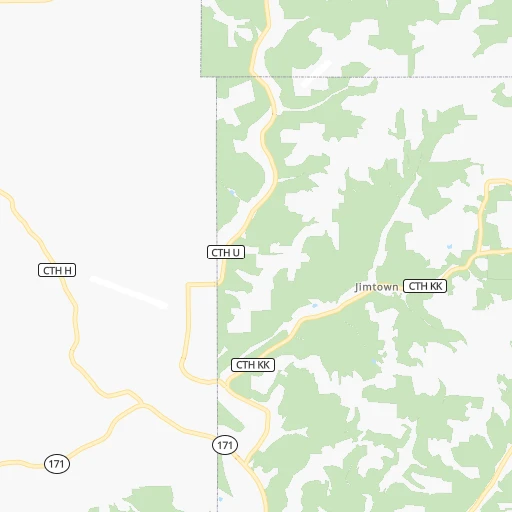
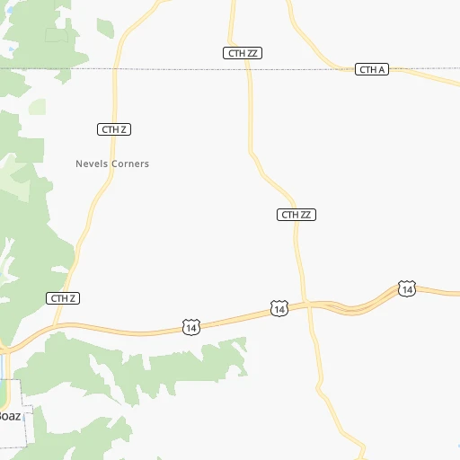
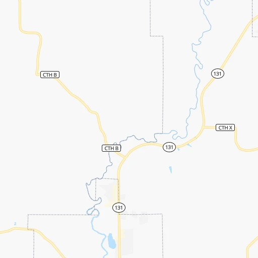
Roadmap (route) to go from Big Spring Landing Strip to West Coon Rapids detailed above, you can also see the course layout on the map.
While doing trip Big Spring Landing Strip - West Coon Rapids by car, the calculated route ends at a distance , or more straight.
Distance and duration of the route between Big Spring Landing Strip and West Coon Rapids
Calculation of distance and route from West Coon Rapids to Big Spring Landing Strip :
292.0338.5 km5h45mn
Continue 0h2mn 627 mContinue 0h0mn 41 mTurn left onto Dobbs Drive 0h1mn 637 mKeep left onto Fish School Road 0h1mn 743 mTurn right onto County Highway U 0h2mn 1.6 kmTurn left onto McKittrick Road 0h3mn 1.5 kmTurn left onto Mc Kittrick Lane 0h2mn 829 mTurn right onto County Highway X 0h2mn 1.9 kmTurn left onto US Highway 14 0h17mn 20.5 kmTurn right 0h0mn 32 mTurn right onto South Main Street 0h5mn 4.5 kmTurn left onto West Decker Street 0h1mn 796 mTurn right onto Hillyer Street 0h0mn 207 mTurn left onto West Broadway Street 0h1mn 659 mTurn right onto County Road B 0h9mn 7.4 kmTurn left onto County Road B 0h10mn 8.7 kmTurn left onto County Road B 0h0mn 290 mTurn right onto County Road B 0h4mn 3.2 kmTurn left onto US 14, US 61 0h17mn 20.7 kmKeep right 0h4mn 4.3 kmKeep right onto South Avenue 0h0mn 322 mKeep right onto South Avenue 0h1mn 897 mKeep right onto South Avenue 0h3mn 2.4 kmTurn left onto Cass Street 0h5mn 5.0 kmKeep right onto US 14, US 61 0h8mn 11.6 kmKeep right onto US 14, US 61 and take US 14, US 61 toward Winona 0h17mn 26.7 kmAt roundabout, take exit 2 onto US 14, US 61 1h19mn 102.8 kmTurn left onto Route 63 0h3mn 3.7 kmTurn left onto County Road VV 0h1mn 1.2 kmTurn left onto WI-35 0h28mn 30.5 kmTurn left onto Point Douglas Drive South 0h0mn 58 mTurn slight right onto US Highway 10 0h5mn 5.1 kmTurn right onto Hiawatha Pioneer Trail/Disabled American Veterans Highway/Voyageur Highway 0h18mn 26.2 kmKeep left onto US 10, US 61 0h3mn 4.2 kmKeep right onto US 10 toward I 35E North, US 10 West 0h6mn 8.3 kmKeep right onto US 10 toward US 10 West, I 694 West, I 694 East 0h4mn 6.7 kmKeep left 0h7mn 10.6 kmKeep right toward MN 252 0h5mn 5.9 kmKeep left toward MN 610 West 0h2mn 2.3 kmKeep right and drive toward Noble Parkway 0h1mn 672 mTurn right onto Noble Parkway 0h4mn 4.3 kmArrive at destination 0h0mn 0 m
Travel from Big Spring Landing Strip (Minnesota) to a selection of major cities.
Distances from Big Spring Landing Strip to biggest cities in Wisconsin
- Beloit,36,891 inhabitants.164 km
- Franklin,36,222 inhabitants.219 km
- Menomonee Falls,36,119 inhabitants.206 km
- Oak Creek,35,243 inhabitants.233 km
- Manitowoc,33,010 inhabitants.253 km
- Sun Prairie,32,365 inhabitants.118 km
- West Bend,31,695 inhabitants.199 km
- Fitchburg,27,996 inhabitants.106 km
- Stevens Point,26,604 inhabitants.154 km
- Superior,26,579 inhabitants.389 km
- Mount Pleasant,26,272 inhabitants.240 km
- Neenah,25,792 inhabitants.197 km
- Muskego,24,755 inhabitants.211 km
- De Pere,24,724 inhabitants.239 km
- Caledonia,24,684 inhabitants.230 km
- Watertown,23,819 inhabitants.157 km
- Mequon,23,132 inhabitants.213 km
- South Milwaukee,21,233 inhabitants.232 km
- Pleasant Prairie,20,726 inhabitants.240 km
Other major cities in country :
- Charlotte [NC], 827,097 inhabitants. 1,238 km
- Seattle [WA], 684,451 inhabitants. 2,499 km
- Denver [CO], 682,545 inhabitants. 1,259 km
- El Paso [TX], 681,124 inhabitants. 1,898 km
- Detroit [MI], 677,116 inhabitants. 631 km
- Boston [MA], 667,137 inhabitants. 1,599 km
- Memphis [TN], 655,770 inhabitants. 918 km
- New South Memphis [TN], 641,608 inhabitants. 925 km
- Portland [OR], 632,309 inhabitants. 2,539 km
- Oklahoma City [OK], 631,346 inhabitants. 1,060 km
- Las Vegas [NV], 623,747 inhabitants. 2,233 km
- Baltimore [MD], 621,849 inhabitants. 1,257 km
- Washington, D.C. [DC], 601,723 inhabitants. 1,244 km
- South Boston [MA], 571,281 inhabitants. 1,600 km
- Albuquerque [NM], 559,121 inhabitants. 1,656 km
- Tucson [AZ], 531,641 inhabitants. 2,164 km
- Nashville [TN], 530,852 inhabitants. 868 km
- Fresno [CA], 520,052 inhabitants. 2,574 km
- Sacramento [CA], 490,712 inhabitants. 2,631 km
- Kansas City [MO], 475,378 inhabitants. 579 km
Route from West Coon Rapids to major cities (United States).
- Distance West Coon Rapids New York City1,648 km
- Distance West Coon Rapids Los Angeles2,452 km
- Distance West Coon Rapids Chicago589 km
- Distance West Coon Rapids Brooklyn1,655 km
- Distance West Coon Rapids Houston1,723 km
- Distance West Coon Rapids Queens1,662 km
- Distance West Coon Rapids Philadelphia1,596 km
- Distance West Coon Rapids Phoenix2,065 km
- Distance West Coon Rapids Manhattan1,648 km
- Distance West Coon Rapids San Antonio1,809 km
- Distance West Coon Rapids San Diego2,469 km
- Distance West Coon Rapids The Bronx1,652 km
- Distance West Coon Rapids Dallas1,410 km
- Distance West Coon Rapids San Jose2,527 km
- Distance West Coon Rapids Austin1,702 km
- Distance West Coon Rapids Jacksonville1,941 km
- Distance West Coon Rapids San Francisco2,544 km
- Distance West Coon Rapids Columbus1,026 km
- Distance West Coon Rapids Fort Worth1,426 km
- Distance West Coon Rapids Indianapolis841 km
Nearest cities to Big Spring Landing Strip :
- Chicago, 2,720,546 inhabitants. 299 km
- Milwaukee, 600,155 inhabitants. 226 km
- Minneapolis, 410,939 inhabitants. 274 km
- Saint Paul, 285,068 inhabitants. 262 km
- Madison, 248,951 inhabitants. 107 km
- Des Moines, 210,330 inhabitants. 313 km
- Aurora, 200,661 inhabitants. 263 km
- Rockford, 148,278 inhabitants. 177 km
- Joliet, 147,861 inhabitants. 295 km
- Naperville, 147,100 inhabitants. 271 km
- Cedar Rapids, 130,405 inhabitants. 173 km
- Peoria, 115,070 inhabitants. 312 km
- North Peoria, 113,004 inhabitants. 309 km
- Rochester, 112,225 inhabitants. 163 km
- Elgin, 112,111 inhabitants. 245 km
- Green Bay, 105,207 inhabitants. 246 km
- Davenport, 102,582 inhabitants. 207 km
- Kenosha, 99,858 inhabitants. 247 km
- Waukegan, 88,475 inhabitants. 255 km
- Bloomington, 86,435 inhabitants. 267 km
- West Town, 86,429 inhabitants. 294 km
- Cicero, 83,886 inhabitants. 292 km
- Belmont Cragin, 79,159 inhabitants. 286 km
- Brooklyn Park, 79,149 inhabitants. 288 km
- Bloomington, 78,292 inhabitants. 350 km
- Racine, 77,742 inhabitants. 244 km
- Arlington Heights, 75,926 inhabitants. 261 km
- Plymouth, 75,907 inhabitants. 288 km
- Evanston, 75,527 inhabitants. 284 km
- Schaumburg, 74,693 inhabitants. 258 km
- Bolingbrook, 74,306 inhabitants. 283 km
- Iowa City, 74,220 inhabitants. 205 km
- Appleton, 74,139 inhabitants. 204 km
- South Lawndale, 73,826 inhabitants. 295 km
- Logan Square, 73,702 inhabitants. 291 km
- West Ridge, 72,211 inhabitants. 287 km
- Waukesha, 71,970 inhabitants. 200 km
- Palatine, 69,308 inhabitants. 256 km
- Waterloo, 68,460 inhabitants. 170 km
- Maple Grove, 68,385 inhabitants. 293 km
- Woodbury, 67,855 inhabitants. 252 km
- Eau Claire, 67,778 inhabitants. 173 km
- Oshkosh, 66,555 inhabitants. 184 km
- Eagan, 66,286 inhabitants. 256 km
- Ames, 65,060 inhabitants. 285 km
- Portage Park, 64,841 inhabitants. 284 km
- Skokie, 64,821 inhabitants. 282 km
- Janesville, 64,123 inhabitants. 154 km
- Eden Prairie, 63,496 inhabitants. 279 km
- West Coon Rapids, 62,528 inhabitants. 293 km
Location Big Spring Landing Strip (Wisconsin) :
| Country flag |  |
| Location | Big Spring Landing Strip |
| State | Wisconsin |
| County | Richland County |
| Country | United States |
| Country code / ISO 2 | US |
| Latitude | 43.3799800 |
| Longitude | -90.6487400 |
| Altitude | 346 meters |
| Time zone | America/Chicago |
Location West Coon Rapids (Minnesota) :
| Country flag | |
| Location | West Coon Rapids |
| State | Minnesota |
| County | Hennepin County |
| Country | United States |
| Country code / ISO 2 | US |
| Latitude | 45.1596900 |
| Longitude | -93.3496700 |
| Altitude | 260 meters |
| Time zone | America/Chicago |


