
How to get from Atkins Ridge (airport) (Wisconsin) to Manitowoc (Wisconsin)
Calculate route from Atkins Ridge (airport) (Wisconsin, United States) to Manitowoc (Wisconsin, United States).
The flight distance (as the crow flies) between Atkins Ridge (airport) and Manitowoc is 215.7 km.
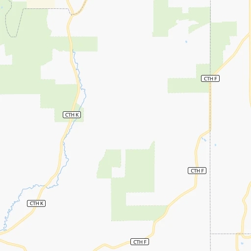
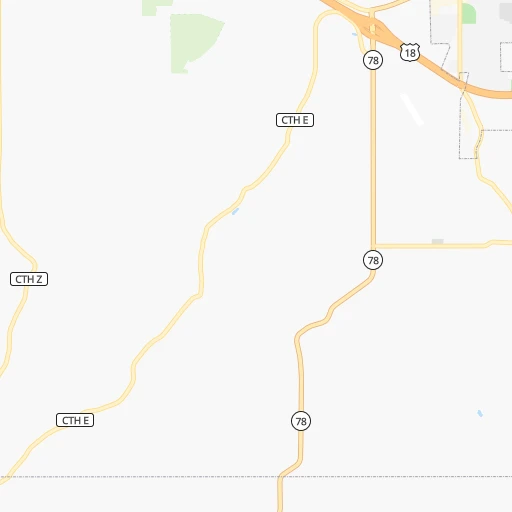
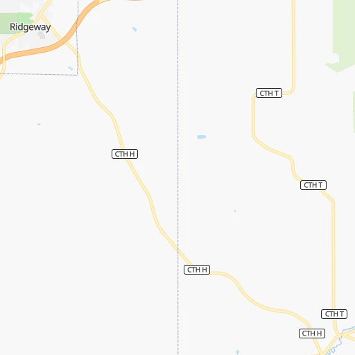
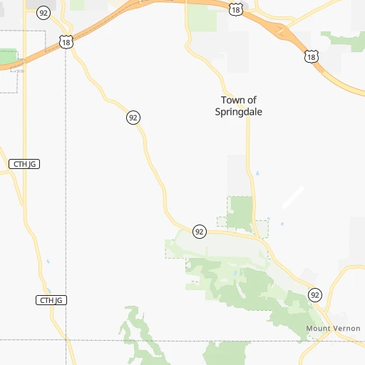
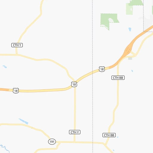
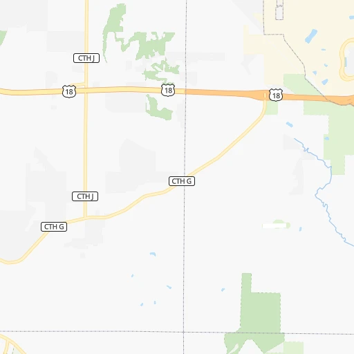
Roadmap (route) to go from Atkins Ridge Airport to Manitowoc detailed above, you can also see the course layout on the map.
While doing trip Atkins Ridge (airport) - Manitowoc by car, the calculated route ends at a distance , or more straight.
Distance and duration of the route between Atkins Ridge (airport) and Manitowoc
Calculation of distance and route from Manitowoc to Atkins Ridge (airport) :
215.7249.7 km3h20mn
Continue onto County Road Z 0h8mn 10.3 kmTurn left onto State Highway 78 0h0mn 249 mTurn right 0h11mn 16.7 kmKeep right onto US 18 Business, US 151 Business and take US 18 Business, US 151 Business, CTH MV toward Epic Lane, West Verona Avenue 0h1mn 868 mContinue onto West Verona Avenue 0h11mn 11.0 kmKeep left 0h0mn 67 mTurn right 0h0mn 302 mTurn right onto Nakoma Road 0h5mn 4.5 kmContinue onto Monroe Street 0h1mn 510 mTurn right onto West Dayton Street 0h0mn 268 mTurn left onto North Charter Street 0h0mn 126 mTurn right onto West Johnson Street 0h7mn 4.8 kmKeep right onto East Johnson Street 0h2mn 1.6 kmTurn left onto East Washington Avenue 0h3mn 2.1 kmKeep left 0h0mn 159 mTurn right onto North Stoughton Road 0h0mn 10 mTurn left onto East Washington Avenue 0h2mn 2.6 kmContinue onto East Washington Avenue 1h2mn 99.3 kmKeep right toward CTH D 0h0mn 290 mKeep right toward CTH D South 0h0mn 574 mTurn right onto County Road D 0h0mn 157 mMake a U-turn onto County Road D 0h4mn 4.0 kmAt roundabout, take exit 2 onto South Military Road 0h2mn 2.0 kmTurn right onto Western Avenue 0h1mn 515 mTurn left onto South Main Street 0h2mn 2.0 kmTurn right onto East Scott Street 0h6mn 6.2 kmTurn left onto US 151 0h19mn 22.0 kmKeep right onto US 151 0h11mn 12.6 kmTurn right onto South State Street 0h0mn 166 mTurn left onto Brooklyn Heights 0h0mn 90 mTurn right onto South Madison Street 0h0mn 274 mTurn left onto East Chestnut Street 0h1mn 677 mTurn left onto Calumet Street 1h37mn 40.8 kmTurn slight right onto Custer Street 0h2mn 1.8 kmTurn right onto South 8th Street 0h0mn 28 mArrive at destination 0h0mn 0 m
Travel from Atkins Ridge (airport) (Wisconsin) to a selection of major cities.
Distances from Atkins Ridge Airport to biggest cities in Wisconsin
- Beloit,36,891 inhabitants.81 km
- Franklin,36,222 inhabitants.146 km
- Menomonee Falls,36,119 inhabitants.141 km
- Oak Creek,35,243 inhabitants.160 km
- Manitowoc,33,010 inhabitants.216 km
- Sun Prairie,32,365 inhabitants.56 km
- West Bend,31,695 inhabitants.143 km
- Fitchburg,27,996 inhabitants.29 km
- Stevens Point,26,604 inhabitants.177 km
- Superior,26,579 inhabitants.457 km
- Mount Pleasant,26,272 inhabitants.163 km
- Neenah,25,792 inhabitants.176 km
- Muskego,24,755 inhabitants.137 km
- De Pere,24,724 inhabitants.219 km
- Caledonia,24,684 inhabitants.156 km
- Watertown,23,819 inhabitants.93 km
- Mequon,23,132 inhabitants.149 km
- South Milwaukee,21,233 inhabitants.160 km
- Pleasant Prairie,20,726 inhabitants.161 km
Other major cities in country :
- Charlotte [NC], 827,097 inhabitants. 1,157 km
- Seattle [WA], 684,451 inhabitants. 2,579 km
- Denver [CO], 682,545 inhabitants. 1,314 km
- El Paso [TX], 681,124 inhabitants. 1,924 km
- Detroit [MI], 677,116 inhabitants. 559 km
- Boston [MA], 667,137 inhabitants. 1,534 km
- Memphis [TN], 655,770 inhabitants. 868 km
- New South Memphis [TN], 641,608 inhabitants. 875 km
- Portland [OR], 632,309 inhabitants. 2,617 km
- Oklahoma City [OK], 631,346 inhabitants. 1,064 km
- Las Vegas [NV], 623,747 inhabitants. 2,289 km
- Baltimore [MD], 621,849 inhabitants. 1,179 km
- Washington, D.C. [DC], 601,723 inhabitants. 1,165 km
- South Boston [MA], 571,281 inhabitants. 1,536 km
- Albuquerque [NM], 559,121 inhabitants. 1,694 km
- Tucson [AZ], 531,641 inhabitants. 2,202 km
- Nashville [TN], 530,852 inhabitants. 799 km
- Fresno [CA], 520,052 inhabitants. 2,636 km
- Sacramento [CA], 490,712 inhabitants. 2,698 km
- Kansas City [MO], 475,378 inhabitants. 585 km
Route from Manitowoc to major cities (United States).
- Distance Manitowoc New York City1,182 km
- Distance Manitowoc Los Angeles2,849 km
- Distance Manitowoc Chicago249 km
- Distance Manitowoc Brooklyn1,189 km
- Distance Manitowoc Houston1,734 km
- Distance Manitowoc Queens1,196 km
- Distance Manitowoc Philadelphia1,130 km
- Distance Manitowoc Phoenix2,414 km
- Distance Manitowoc Manhattan1,182 km
- Distance Manitowoc San Antonio1,893 km
- Distance Manitowoc San Diego2,848 km
- Distance Manitowoc The Bronx1,187 km
- Distance Manitowoc Dallas1,488 km
- Distance Manitowoc San Jose2,962 km
- Distance Manitowoc Austin1,777 km
- Distance Manitowoc Jacksonville1,620 km
- Distance Manitowoc San Francisco2,983 km
- Distance Manitowoc Columbus599 km
- Distance Manitowoc Fort Worth1,518 km
- Distance Manitowoc Indianapolis497 km
Nearest cities to Atkins Ridge (airport) :
- Chicago, 2,720,546 inhabitants. 216 km
- Milwaukee, 600,155 inhabitants. 156 km
- Madison, 248,951 inhabitants. 37 km
- Aurora, 200,661 inhabitants. 181 km
- Rockford, 148,278 inhabitants. 96 km
- Joliet, 147,861 inhabitants. 214 km
- Naperville, 147,100 inhabitants. 189 km
- Cedar Rapids, 130,405 inhabitants. 182 km
- Peoria, 115,070 inhabitants. 252 km
- North Peoria, 113,004 inhabitants. 249 km
- Rochester, 112,225 inhabitants. 245 km
- Elgin, 112,111 inhabitants. 162 km
- Green Bay, 105,207 inhabitants. 227 km
- Davenport, 102,582 inhabitants. 170 km
- Kenosha, 99,858 inhabitants. 169 km
- Waukegan, 88,475 inhabitants. 175 km
- West Town, 86,429 inhabitants. 212 km
- Champaign, 86,096 inhabitants. 342 km
- Near North Side, 85,711 inhabitants. 214 km
- Cicero, 83,886 inhabitants. 210 km
- Belmont Cragin, 79,159 inhabitants. 203 km
- Bloomington, 78,292 inhabitants. 283 km
- Racine, 77,742 inhabitants. 168 km
- Hammond, 77,614 inhabitants. 244 km
- Gary, 77,156 inhabitants. 254 km
- Arlington Heights, 75,926 inhabitants. 179 km
- Evanston, 75,527 inhabitants. 202 km
- Schaumburg, 74,693 inhabitants. 175 km
- Bolingbrook, 74,306 inhabitants. 201 km
- Iowa City, 74,220 inhabitants. 201 km
- Appleton, 74,139 inhabitants. 185 km
- South Lawndale, 73,826 inhabitants. 213 km
- Logan Square, 73,702 inhabitants. 209 km
- West Ridge, 72,211 inhabitants. 204 km
- Waukesha, 71,970 inhabitants. 130 km
- Lafayette, 71,111 inhabitants. 373 km
- Palatine, 69,308 inhabitants. 174 km
- Waterloo, 68,460 inhabitants. 212 km
- Eau Claire, 67,778 inhabitants. 247 km
- Lincoln Park, 66,959 inhabitants. 212 km
- Oshkosh, 66,555 inhabitants. 158 km
- Portage Park, 64,841 inhabitants. 202 km
- Skokie, 64,821 inhabitants. 200 km
- Janesville, 64,123 inhabitants. 72 km
- West Allis, 60,620 inhabitants. 148 km
- Dubuque, 58,799 inhabitants. 85 km
- Des Plaines, 58,677 inhabitants. 189 km
- Orland Park, 58,619 inhabitants. 219 km
- Tinley Park, 57,143 inhabitants. 227 km
- Oak Lawn, 56,781 inhabitants. 219 km
Location Atkins Ridge (airport) (Wisconsin) :
| Country flag |  |
| Location | Atkins Ridge (airport) |
| State | Wisconsin |
| County | Dane County |
| Country | United States |
| Country code / ISO 2 | US |
| Latitude | 42.9477000 |
| Longitude | -89.8240500 |
| Altitude | 324 meters |
| Time zone | America/Chicago |
Location Manitowoc (Wisconsin) :
| Country flag | |
| Location | Manitowoc |
| State | Wisconsin |
| County | Manitowoc County |
| Country | United States |
| Country code / ISO 2 | US |
| Latitude | 44.0886100 |
| Longitude | -87.6575800 |
| Altitude | 184 meters |
| Time zone | America/Chicago |

