


How to get from Heller Landing Strip (South Dakota) to Lexington (Nebraska)
Calculate route from Heller Landing Strip (South Dakota, United States) to Lexington (Nebraska, United States).
The flight distance (as the crow flies) between Heller Landing Strip and Lexington is 312.6 km.
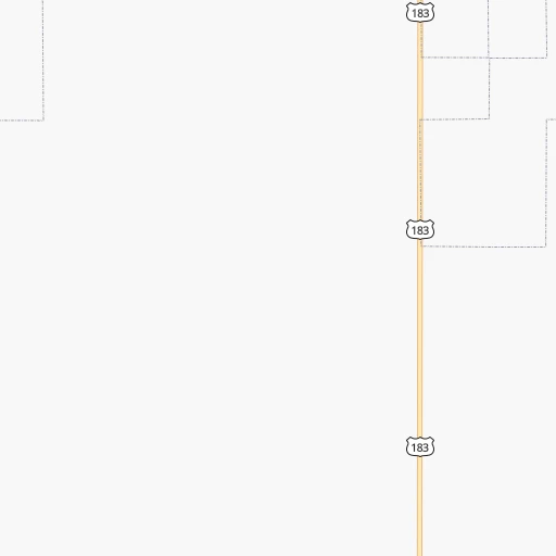
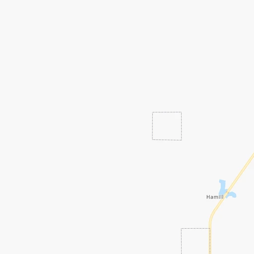
Roadmap (route) to go from Heller Landing Strip to Lexington detailed above, you can also see the course layout on the map.
While doing trip Heller Landing Strip - Lexington by car, the calculated route ends at a distance , or more straight.
Distance and duration of the route between Heller Landing Strip and Lexington
Calculation of distance and route from Lexington to Heller Landing Strip :
312.6355.3 km5h46mn
Continue 0h3mn 1.1 kmTurn left onto 313th Avenue 0h20mn 10.2 kmKeep left 0h8mn 4.2 kmTurn right onto Highway 3169N 0h16mn 13.7 kmTurn left onto US 18, US 183, SD 44 0h16mn 17.3 kmKeep right onto 323rd Avenue 1h2mn 82.8 kmTurn right onto US 20, NE 7 0h7mn 8.8 kmTurn left onto North Main Street 1h45mn 70.2 kmContinue onto Milburn Avenue 1h33mn 41.2 kmTurn left onto Sargent Road 0h1mn 802 mTurn right onto 435 Drive 0h1mn 1.6 kmKeep left onto 435 Drive 0h0mn 40 mTurn slight left onto 813 Road 0h7mn 8.5 kmTurn right onto Lillian Road 0h12mn 14.1 kmTurn right onto Airport Road 0h5mn 6.3 kmTurn right onto South E Street 0h0mn 307 mTurn left onto South 8th Avenue 1h48mn 72.8 kmTurn left onto West 13th Street 0h1mn 620 mTurn right onto North Washington Street 0h1mn 645 mArrive at destination 0h0mn 0 m
Travel from Heller Landing Strip (Nebraska) to a selection of major cities.
Distances from Heller Landing Strip to biggest cities in South Dakota
Other major cities in country :
- Charlotte [NC], 827,097 inhabitants. 1,878 km
- Seattle [WA], 684,451 inhabitants. 1,797 km
- Denver [CO], 682,545 inhabitants. 603 km
- El Paso [TX], 681,124 inhabitants. 1,439 km
- Detroit [MI], 677,116 inhabitants. 1,377 km
- Boston [MA], 667,137 inhabitants. 2,340 km
- Memphis [TN], 655,770 inhabitants. 1,263 km
- New South Memphis [TN], 641,608 inhabitants. 1,268 km
- Portland [OR], 632,309 inhabitants. 1,814 km
- Oklahoma City [OK], 631,346 inhabitants. 927 km
- Las Vegas [NV], 623,747 inhabitants. 1,538 km
- Baltimore [MD], 621,849 inhabitants. 1,993 km
- Washington, D.C. [DC], 601,723 inhabitants. 1,976 km
- Milwaukee [WI], 600,155 inhabitants. 972 km
- South Boston [MA], 571,281 inhabitants. 2,342 km
- Albuquerque [NM], 559,121 inhabitants. 1,111 km
- Tucson [AZ], 531,641 inhabitants. 1,591 km
- Nashville [TN], 530,852 inhabitants. 1,389 km
- Fresno [CA], 520,052 inhabitants. 1,849 km
- Sacramento [CA], 490,712 inhabitants. 1,890 km
Route from Lexington to major cities (United States).
- Distance Lexington New York City2,163 km
- Distance Lexington Los Angeles1,794 km
- Distance Lexington Chicago1,017 km
- Distance Lexington Brooklyn2,168 km
- Distance Lexington Houston1,289 km
- Distance Lexington Queens2,177 km
- Distance Lexington Philadelphia2,080 km
- Distance Lexington Phoenix1,363 km
- Distance Lexington Manhattan2,165 km
- Distance Lexington San Antonio1,269 km
- Distance Lexington San Diego1,790 km
- Distance Lexington The Bronx2,172 km
- Distance Lexington Dallas928 km
- Distance Lexington San Jose1,947 km
- Distance Lexington Austin1,184 km
- Distance Lexington Jacksonville2,002 km
- Distance Lexington San Francisco1,977 km
- Distance Lexington Columbus1,421 km
- Distance Lexington Fort Worth922 km
- Distance Lexington Indianapolis1,158 km
Nearest cities to Heller Landing Strip :
- Grand Island, 51,440 inhabitants. 323 km
- Kearney, 33,021 inhabitants. 329 km
- Aberdeen, 28,102 inhabitants. 236 km
- Norfolk, 24,366 inhabitants. 266 km
- North Platte, 24,194 inhabitants. 284 km
- Columbus, 22,797 inhabitants. 317 km
- Watertown, 22,073 inhabitants. 265 km
- Mitchell, 15,669 inhabitants. 150 km
- Yankton, 14,557 inhabitants. 217 km
- Pierre, 14,002 inhabitants. 94 km
- Huron, 13,313 inhabitants. 159 km
- Vermillion, 10,738 inhabitants. 257 km
- Lexington, 10,075 inhabitants. 313 km
- Alliance, 8,522 inhabitants. 295 km
- York, 7,864 inhabitants. 357 km
- Madison, 7,258 inhabitants. 228 km
- Seward, 7,167 inhabitants. 377 km
- Crete, 7,037 inhabitants. 409 km
- Schuyler, 6,171 inhabitants. 333 km
- Wayne, 5,569 inhabitants. 279 km
- Ogallala, 4,570 inhabitants. 313 km
- Aurora, 4,496 inhabitants. 341 km
- Cozad, 3,863 inhabitants. 304 km
- O'Neill, 3,653 inhabitants. 162 km
- Broken Bow, 3,551 inhabitants. 245 km
- Gothenburg, 3,514 inhabitants. 297 km
- Mobridge, 3,466 inhabitants. 221 km
- Pine Ridge, 3,308 inhabitants. 225 km
- Hartford, 3,025 inhabitants. 237 km
Location Heller Landing Strip (South Dakota) :
| Country flag |  |
| Location | Heller Landing Strip |
| State | South Dakota |
| County | Tripp County |
| Country | United States |
| Country code / ISO 2 | US |
| Latitude | 43.5916600 |
| Longitude | -99.8884500 |
| Altitude | 559 meters |
| Time zone | America/Chicago |
Location Lexington (Nebraska) :
| Country flag | |
| Location | Lexington |
| State | Nebraska |
| County | Dawson County |
| Country | United States |
| Country code / ISO 2 | US |
| Latitude | 40.7808400 |
| Longitude | -99.7415000 |
| Altitude | 729 meters |
| Time zone | America/Chicago |
