
How to get from Deiter Landing Strip (South Dakota) to South Boston (Massachusetts)
Calculate route from Deiter Landing Strip (South Dakota, United States) to South Boston (Massachusetts, United States).
The flight distance (as the crow flies) between Deiter Landing Strip and South Boston is 2,207.6 km.
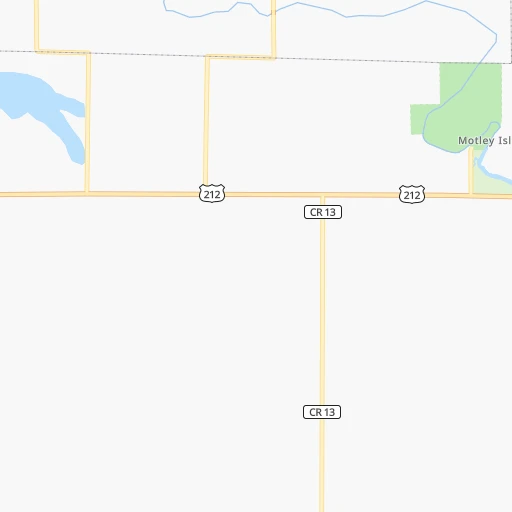
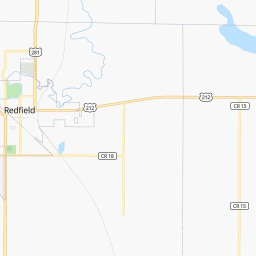
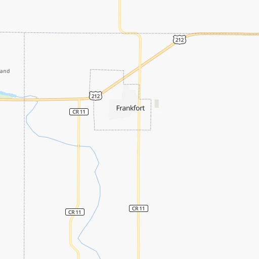
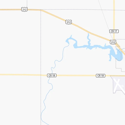
Roadmap (route) to go from Deiter Landing Strip to South Boston detailed above, you can also see the course layout on the map.
While doing trip Deiter Landing Strip - South Boston by car, the calculated route ends at a distance , or more straight.
Distance and duration of the route between Deiter Landing Strip and South Boston
Calculation of distance and route from South Boston to Deiter Landing Strip :
2,207.62,505.9 km30h33mn
Continue onto 173rd Street 2h37mn 107.0 kmKeep right and take I-29 toward Brookings 0h11mn 21.1 kmKeep right and take SD 22 toward Castlewood, Clear Lake 0h0mn 335 mTurn left onto SD Highway 22 1h20mn 105.2 kmTurn left onto 250th Street 0h12mn 16.1 kmTurn right onto State Highway 68 0h28mn 35.6 kmTurn left onto US 71, MN 68 0h1mn 813 mTurn right onto State Highway 68 0h14mn 15.5 kmContinue onto Morgan Street 0h0mn 400 mTurn left onto South Somerville Street 0h0mn 116 mTurn sharp right onto Front Street 0h5mn 7.2 kmKeep left onto County Road 29 0h8mn 10.8 kmAt roundabout, take exit 2 onto County Road 29 0h16mn 20.5 kmTurn left onto 20th North Street 0h2mn 1.7 kmTurn left onto 12th North Street 0h1mn 668 mTurn right onto North Front Street 0h1mn 561 mTurn left 0h0mn 290 mAt roundabout, take exit 2 onto US Highway 14 0h1mn 927 mKeep right onto US 14 toward US 14 South, CSAH 21 0h0mn 442 mAt roundabout, take exit 1 onto US Highway 14 2h42mn 159.9 kmTurn right onto Country Club Road Southeast 0h2mn 2.7 kmContinue onto Country Club Road West 0h6mn 7.5 kmTurn sharp right onto West Circle Drive Southwest 0h2mn 2.2 kmContinue onto Salem Road Southwest 0h2mn 1.8 kmKeep right 0h0mn 327 mKeep right toward US 52 South, US 63 South 0h8mn 12.9 kmTurn left and take I 90 East toward La Crosse 1h54mn 91.6 kmKeep left onto I 90 2h11mn 221.9 kmKeep left onto I 94 and take I 94 toward Milwaukee 1h9mn 113.4 kmKeep right onto I 94 and take I 43 South, I 94 toward Chicago 0h2mn 2.3 kmKeep right and drive toward Lapham Boulevard, Mitchell Street 0h0mn 494 mTurn sharp left onto West Lapham Boulevard 0h1mn 454 mTurn right onto South 1st Street 0h0mn 135 mContinue onto South Kinnickinnic Avenue 0h1mn 787 mKeep left onto East Bay Street 0h1mn 740 mKeep right 0h1mn 726 mKeep right 0h0mn 163 mTurn left 0h1mn 197 mTurn left 0h1mn 175 mTurn left 0h0mn 4 mTurn right onto Staging lane 5 4h32mn 133.7 kmTurn right onto Estes Street 0h1mn 498 mTurn left onto Lakeshore Drive 0h3mn 2.4 kmTurn right onto Seaway Drive 2h30mn 150.8 kmKeep right and take I 69 East toward Flint 2h50mn 194.2 kmKeep left onto I 69 and take I 94 East, I 69 East toward Canada 0h7mn 7.2 kmKeep right onto CBSA - Sarnia (Point Edward) Point Of Entry Commercial Lanes 2h35mn 153.0 kmKeep right onto Alexander Graham Bell Parkway and take 403 toward Brantford, Hamilton, Niagara Falls 1h43mn 64.2 kmKeep right and drive toward Lincoln M. Alexander Parkway 0h11mn 14.7 kmKeep right and drive toward Greenhill Avenue 0h0mn 416 mTurn sharp left 0h1mn 1.8 kmKeep right 0h0mn 332 mTurn slight right 0h2mn 2.4 kmKeep right and take QEW toward Niagara 1h32mn 51.4 kmKeep left onto General Brock Parkway and take 405 toward Queenston, Lewiston U.S.A. 0h5mn 7.1 kmKeep right 0h1mn 778 mKeep left 0h7mn 8.6 kmKeep right and take NY 182 toward Porter Rd, Packard Rd 0h0mn 240 mTurn left onto Porter Road 0h1mn 496 mTurn left onto Packard Road 0h0mn 145 mTurn right onto Military Road 0h4mn 3.3 kmTurn slight right onto Cayuga Drive 0h1mn 532 mTurn left onto South Military Road 0h0mn 369 mTurn left onto Buffalo Avenue 0h9mn 8.8 kmKeep left onto Main Street 0h2mn 1.2 kmTurn left onto Young Street 0h2mn 1.3 kmTurn left 0h2mn 1.8 kmTurn sharp left onto Twin Cities Memorial Highway 0h0mn 55 mKeep right toward I 290 East 0h8mn 10.2 kmKeep left and take I 90 East toward Albany 5h54mn 459.7 kmKeep right and drive toward Massachusetts Turnpike, Boston 3h44mn 254.2 kmKeep right and drive toward Prudential Center, Copley Square 0h1mn 423 mKeep right and drive toward Copley Square 0h1mn 304 mKeep right onto Dartmouth Street 0h2mn 1.5 kmTurn left onto Albany Street 0h0mn 185 mTurn right 0h0mn 69 mTurn left onto I-93 Frontage Road 0h0mn 311 mTurn right onto West Fourth Street 0h1mn 410 mTurn right onto Dorchester Avenue 0h0mn 434 mTurn sharp left onto Dorchester Avenue 0h0mn 24 mKeep right 0h0mn 29 mTurn slight right onto West Seventh Street 0h1mn 762 mTurn left onto Dorchester Street 0h0mn 10 mArrive at destination 0h0mn 0 m
Travel from Deiter Landing Strip (Massachusetts) to a selection of major cities.
Distances from Deiter Landing Strip to biggest cities in South Dakota
Other major cities in country :
- Charlotte [NC], 827,097 inhabitants. 1,835 km
- Seattle [WA], 684,451 inhabitants. 1,860 km
- Denver [CO], 682,545 inhabitants. 788 km
- El Paso [TX], 681,124 inhabitants. 1,621 km
- Detroit [MI], 677,116 inhabitants. 1,267 km
- Boston [MA], 667,137 inhabitants. 2,210 km
- Memphis [TN], 655,770 inhabitants. 1,294 km
- New South Memphis [TN], 641,608 inhabitants. 1,300 km
- Portland [OR], 632,309 inhabitants. 1,899 km
- Oklahoma City [OK], 631,346 inhabitants. 1,050 km
- Las Vegas [NV], 623,747 inhabitants. 1,711 km
- Baltimore [MD], 621,849 inhabitants. 1,897 km
- Washington, D.C. [DC], 601,723 inhabitants. 1,884 km
- Milwaukee [WI], 600,155 inhabitants. 864 km
- South Boston [MA], 571,281 inhabitants. 2,211 km
- Albuquerque [NM], 559,121 inhabitants. 1,297 km
- Tucson [AZ], 531,641 inhabitants. 1,778 km
- Nashville [TN], 530,852 inhabitants. 1,378 km
- Fresno [CA], 520,052 inhabitants. 2,008 km
- Sacramento [CA], 490,712 inhabitants. 2,035 km
Route from South Boston to major cities (United States).
- Distance South Boston New York City305 km
- Distance South Boston Los Angeles4,175 km
- Distance South Boston Chicago1,370 km
- Distance South Boston Brooklyn306 km
- Distance South Boston Houston2,583 km
- Distance South Boston Queens296 km
- Distance South Boston Philadelphia435 km
- Distance South Boston Phoenix3,699 km
- Distance South Boston Manhattan298 km
- Distance South Boston San Antonio2,843 km
- Distance South Boston San Diego4,156 km
- Distance South Boston The Bronx287 km
- Distance South Boston Dallas2,496 km
- Distance South Boston San Jose4,317 km
- Distance South Boston Austin2,729 km
- Distance South Boston Jacksonville1,637 km
- Distance South Boston San Francisco4,340 km
- Distance South Boston Columbus1,035 km
- Distance South Boston Fort Worth2,540 km
- Distance South Boston Indianapolis1,298 km
Nearest cities to Deiter Landing Strip :
- Sioux Falls, 171,544 inhabitants. 200 km
- Fargo, 118,523 inhabitants. 255 km
- Sioux City, 82,821 inhabitants. 310 km
- Bismarck, 71,167 inhabitants. 284 km
- Moorhead, 42,005 inhabitants. 255 km
- West Fargo, 33,597 inhabitants. 250 km
- Aberdeen, 28,102 inhabitants. 66 km
- Norfolk, 24,366 inhabitants. 327 km
- Brookings, 23,657 inhabitants. 141 km
- Watertown, 22,073 inhabitants. 101 km
- Mandan, 21,382 inhabitants. 291 km
- Mitchell, 15,669 inhabitants. 133 km
- Jamestown, 15,422 inhabitants. 227 km
- Yankton, 14,557 inhabitants. 237 km
- Pierre, 14,002 inhabitants. 165 km
- Marshall, 13,652 inhabitants. 212 km
- South Sioux City, 13,319 inhabitants. 312 km
- Huron, 13,313 inhabitants. 59 km
- Fergus Falls, 13,281 inhabitants. 239 km
- Worthington, 13,090 inhabitants. 263 km
- Vermillion, 10,738 inhabitants. 262 km
- Brandon, 9,856 inhabitants. 204 km
- Le Mars, 9,761 inhabitants. 293 km
- Detroit Lakes, 9,002 inhabitants. 292 km
- Wahpeton, 7,899 inhabitants. 208 km
- Crookston, 7,787 inhabitants. 350 km
- Sioux Center, 7,461 inhabitants. 268 km
- Madison, 7,258 inhabitants. 141 km
- Valley City, 6,669 inhabitants. 230 km
- Orange City, 6,198 inhabitants. 280 km
- Wayne, 5,569 inhabitants. 315 km
- Harrisburg, 5,498 inhabitants. 210 km
- Morris, 5,352 inhabitants. 210 km
- Montevideo, 5,217 inhabitants. 211 km
- Sheldon, 5,088 inhabitants. 277 km
- Cherokee, 5,030 inhabitants. 329 km
- Tea, 4,839 inhabitants. 202 km
- Luverne, 4,677 inhabitants. 221 km
- Sergeant Bluff, 4,520 inhabitants. 321 km
- Dilworth, 4,366 inhabitants. 258 km
- Pipestone, 4,141 inhabitants. 192 km
- Dell Rapids, 3,706 inhabitants. 178 km
- Rock Valley, 3,693 inhabitants. 251 km
- O'Neill, 3,653 inhabitants. 270 km
- Lincoln, 3,519 inhabitants. 276 km
- Mobridge, 3,466 inhabitants. 176 km
- Canton, 3,331 inhabitants. 227 km
- Breckenridge, 3,290 inhabitants. 209 km
- Perham, 3,278 inhabitants. 291 km
- Milbank, 3,192 inhabitants. 143 km
Location Deiter Landing Strip (South Dakota) :
| Country flag |  |
| Location | Deiter Landing Strip |
| State | South Dakota |
| County | Spink County |
| Country | United States |
| Country code / ISO 2 | US |
| Latitude | 44.8791400 |
| Longitude | -98.3920400 |
| Altitude | 395 meters |
| Time zone | America/Chicago |
Location South Boston (Massachusetts) :
| Country flag | |
| Location | South Boston |
| State | Massachusetts |
| County | Suffolk County |
| Country | United States |
| Country code / ISO 2 | US |
| Latitude | 42.3334300 |
| Longitude | -71.0494900 |
| Altitude | 14 meters |
| Time zone | America/New_York |


