
How to get from Clear Lake Municipal (airport) (South Dakota) to Yankton (South Dakota)
Calculate route from Clear Lake Municipal (airport) (South Dakota, United States) to Yankton (South Dakota, United States).
The flight distance (as the crow flies) between Clear Lake Municipal (airport) and Yankton is 218.7 km.
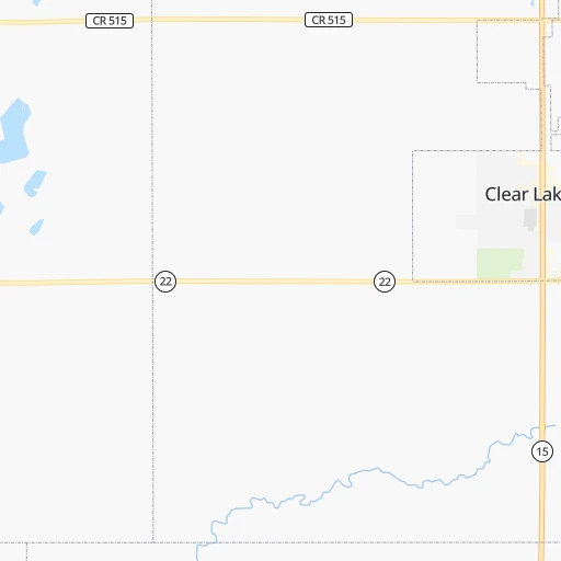
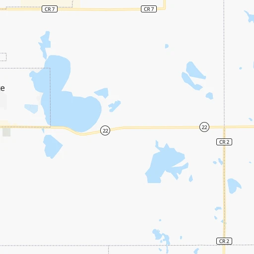
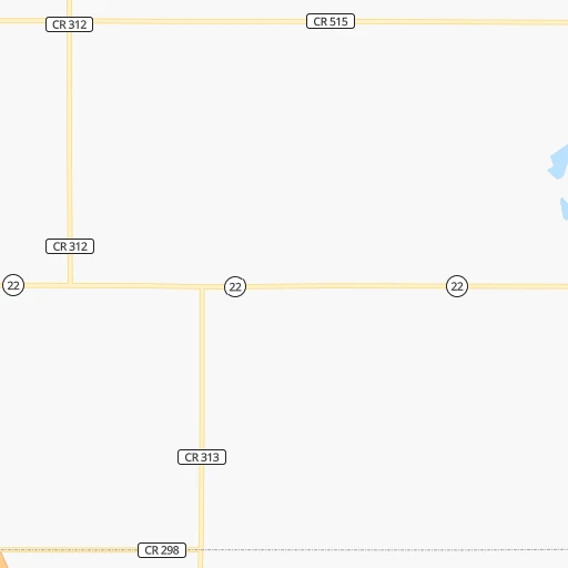
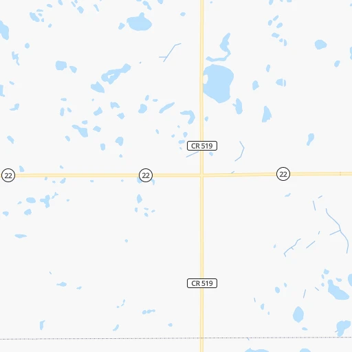
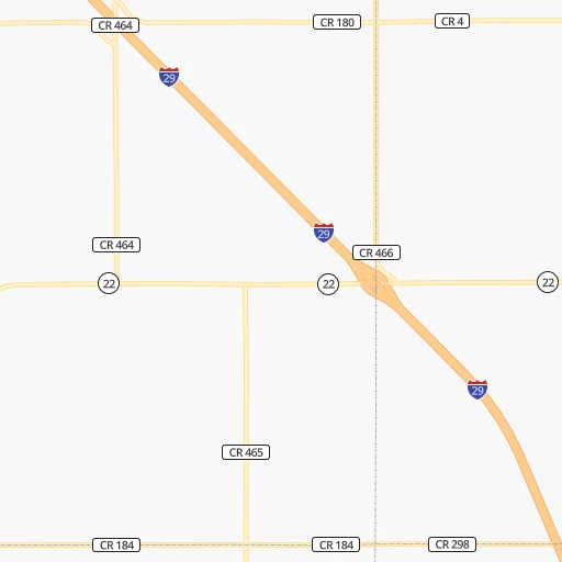
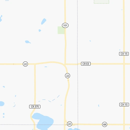
Roadmap (route) to go from Clear Lake Municipal Airport to Yankton detailed above, you can also see the course layout on the map.
While doing trip Clear Lake Municipal (airport) - Yankton by car, the calculated route ends at a distance , or more straight.
Distance and duration of the route between Clear Lake Municipal (airport) and Yankton
Calculation of distance and route from Yankton to Clear Lake Municipal (airport) :
218.7267.6 km3h50mn
Continue 0h1mn 417 mTurn right onto SD Highway 15 0h15mn 22.2 kmTurn right onto SD Highway 28 0h6mn 6.5 kmTurn sharp left 2h36mn 180.8 kmKeep right 0h0mn 438 mTurn right onto 306th Street 0h28mn 30.9 kmTurn slight right onto Bluff Road 0h0mn 251 mTurn left 0h0mn 247 mTurn slight left onto 451st Avenue 0h8mn 6.3 kmContinue onto 451st Avenue 0h0mn 61 mTurn slight right onto 310th Street 0h2mn 1.6 kmTurn left onto 450th Avenue 0h2mn 1.6 kmTurn right onto SD Highway 50 0h12mn 16.3 kmArrive at destination 0h0mn 0 m
Travel from Clear Lake Municipal (airport) (South Dakota) to a selection of major cities.
Distances from Clear Lake Municipal Airport to biggest cities in South Dakota
Other major cities in country :
- Charlotte [NC], 827,097 inhabitants. 1,713 km
- Seattle [WA], 684,451 inhabitants. 1,992 km
- Denver [CO], 682,545 inhabitants. 883 km
- El Paso [TX], 681,124 inhabitants. 1,680 km
- Detroit [MI], 677,116 inhabitants. 1,132 km
- Boston [MA], 667,137 inhabitants. 2,076 km
- Memphis [TN], 655,770 inhabitants. 1,210 km
- New South Memphis [TN], 641,608 inhabitants. 1,216 km
- Portland [OR], 632,309 inhabitants. 2,033 km
- Oklahoma City [OK], 631,346 inhabitants. 1,038 km
- Las Vegas [NV], 623,747 inhabitants. 1,826 km
- Baltimore [MD], 621,849 inhabitants. 1,763 km
- Washington, D.C. [DC], 601,723 inhabitants. 1,750 km
- Milwaukee [WI], 600,155 inhabitants. 730 km
- South Boston [MA], 571,281 inhabitants. 2,077 km
- Albuquerque [NM], 559,121 inhabitants. 1,371 km
- Tucson [AZ], 531,641 inhabitants. 1,863 km
- Nashville [TN], 530,852 inhabitants. 1,271 km
- Fresno [CA], 520,052 inhabitants. 2,132 km
- Sacramento [CA], 490,712 inhabitants. 2,165 km
Route from Yankton to major cities (United States).
- Distance Yankton New York City1,950 km
- Distance Yankton Los Angeles2,057 km
- Distance Yankton Chicago809 km
- Distance Yankton Brooklyn1,956 km
- Distance Yankton Houston1,470 km
- Distance Yankton Queens1,965 km
- Distance Yankton Philadelphia1,879 km
- Distance Yankton Phoenix1,654 km
- Distance Yankton Manhattan1,951 km
- Distance Yankton San Antonio1,500 km
- Distance Yankton San Diego2,066 km
- Distance Yankton The Bronx1,957 km
- Distance Yankton Dallas1,124 km
- Distance Yankton San Jose2,166 km
- Distance Yankton Austin1,403 km
- Distance Yankton Jacksonville1,975 km
- Distance Yankton San Francisco2,189 km
- Distance Yankton Columbus1,243 km
- Distance Yankton Fort Worth1,129 km
- Distance Yankton Indianapolis1,000 km
Nearest cities to Clear Lake Municipal (airport) :
- Sioux Falls, 171,544 inhabitants. 136 km
- Fargo, 118,523 inhabitants. 235 km
- Sioux City, 82,821 inhabitants. 254 km
- Saint Cloud, 65,842 inhabitants. 217 km
- Moorhead, 42,005 inhabitants. 234 km
- Mankato, 41,044 inhabitants. 223 km
- West Fargo, 33,597 inhabitants. 235 km
- Aberdeen, 28,102 inhabitants. 161 km
- Fort Dodge, 24,649 inhabitants. 324 km
- Norfolk, 24,366 inhabitants. 311 km
- Brookings, 23,657 inhabitants. 52 km
- Watertown, 22,073 inhabitants. 37 km
- Willmar, 19,638 inhabitants. 135 km
- Sartell, 16,788 inhabitants. 216 km
- Buffalo, 16,026 inhabitants. 226 km
- Mitchell, 15,669 inhabitants. 160 km
- Jamestown, 15,422 inhabitants. 285 km
- Bemidji, 14,594 inhabitants. 332 km
- Yankton, 14,557 inhabitants. 219 km
- Hutchinson, 13,913 inhabitants. 183 km
- Marshall, 13,652 inhabitants. 80 km
- North Mankato, 13,529 inhabitants. 221 km
- Sauk Rapids, 13,424 inhabitants. 218 km
- Brainerd, 13,371 inhabitants. 262 km
- New Ulm, 13,327 inhabitants. 184 km
- South Sioux City, 13,319 inhabitants. 257 km
- Huron, 13,313 inhabitants. 130 km
- Monticello, 13,299 inhabitants. 235 km
- Fergus Falls, 13,281 inhabitants. 175 km
- Worthington, 13,090 inhabitants. 155 km
- Boone, 12,692 inhabitants. 377 km
- Waconia, 11,968 inhabitants. 229 km
- Alexandria, 11,843 inhabitants. 161 km
- Spencer, 11,212 inhabitants. 219 km
- Saint Peter, 11,196 inhabitants. 222 km
- Storm Lake, 10,910 inhabitants. 265 km
- Vermillion, 10,738 inhabitants. 223 km
- Big Lake, 10,368 inhabitants. 239 km
- Fairmont, 10,221 inhabitants. 217 km
- Carroll, 9,968 inhabitants. 335 km
- Brandon, 9,856 inhabitants. 131 km
- Le Mars, 9,761 inhabitants. 224 km
- Detroit Lakes, 9,002 inhabitants. 237 km
- Little Falls, 8,649 inhabitants. 226 km
- Denison, 8,334 inhabitants. 325 km
- Perry, 8,089 inhabitants. 387 km
- Baxter, 7,934 inhabitants. 256 km
- Wahpeton, 7,899 inhabitants. 166 km
- Webster City, 7,814 inhabitants. 345 km
- Waite Park, 7,517 inhabitants. 212 km
Location Clear Lake Municipal (airport) (South Dakota) :
| Country flag |  |
| Location | Clear Lake Municipal (airport) |
| State | South Dakota |
| County | Deuel County |
| Country | United States |
| Country code / ISO 2 | US |
| Latitude | 44.7706300 |
| Longitude | -96.6844700 |
| Altitude | 547 meters |
| Time zone | America/Chicago |
Location Yankton (South Dakota) :
| Country flag | |
| Location | Yankton |
| State | South Dakota |
| County | Yankton County |
| Country | United States |
| Country code / ISO 2 | US |
| Latitude | 42.8711100 |
| Longitude | -97.3972800 |
| Altitude | 368 meters |
| Time zone | America/Chicago |

