

How to get from Anderson Private Airstrip (South Dakota) to Hartford (South Dakota)
Calculate route from Anderson Private Airstrip (South Dakota, United States) to Hartford (South Dakota, United States).
The flight distance (as the crow flies) between Anderson Private Airstrip and Hartford is 234.8 km.
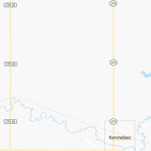
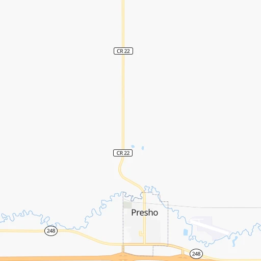
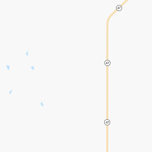
Roadmap (route) to go from Anderson Private Airstrip to Hartford detailed above, you can also see the course layout on the map.
While doing trip Anderson Private Airstrip - Hartford by car, the calculated route ends at a distance , or more straight.
Distance and duration of the route between Anderson Private Airstrip and Hartford
Calculation of distance and route from Hartford to Anderson Private Airstrip :
234.8251.0 km2h16mn
Continue 0h4mn 2.0 kmTurn left onto SD Highway 273 0h3mn 2.8 kmTurn left 2h6mn 243.4 kmKeep right 0h0mn 556 mTurn left onto 463rd Avenue 0h2mn 1.7 kmTurn right onto West 2nd Street 0h1mn 616 mArrive at destination 0h0mn 0 m
Travel from Anderson Private Airstrip (South Dakota) to a selection of major cities.
Distances from Anderson Private Airstrip to biggest cities in South Dakota
Other major cities in country :
- Charlotte [NC], 827,097 inhabitants. 1,889 km
- Seattle [WA], 684,451 inhabitants. 1,787 km
- Denver [CO], 682,545 inhabitants. 631 km
- El Paso [TX], 681,124 inhabitants. 1,473 km
- Detroit [MI], 677,116 inhabitants. 1,374 km
- Boston [MA], 667,137 inhabitants. 2,333 km
- Memphis [TN], 655,770 inhabitants. 1,286 km
- New South Memphis [TN], 641,608 inhabitants. 1,291 km
- Portland [OR], 632,309 inhabitants. 1,809 km
- Oklahoma City [OK], 631,346 inhabitants. 961 km
- Las Vegas [NV], 623,747 inhabitants. 1,559 km
- Baltimore [MD], 621,849 inhabitants. 1,994 km
- Washington, D.C. [DC], 601,723 inhabitants. 1,977 km
- Milwaukee [WI], 600,155 inhabitants. 968 km
- South Boston [MA], 571,281 inhabitants. 2,334 km
- Albuquerque [NM], 559,121 inhabitants. 1,143 km
- Tucson [AZ], 531,641 inhabitants. 1,621 km
- Nashville [TN], 530,852 inhabitants. 1,405 km
- Fresno [CA], 520,052 inhabitants. 1,864 km
- Sacramento [CA], 490,712 inhabitants. 1,901 km
Route from Hartford to major cities (United States).
- Distance Hartford New York City1,914 km
- Distance Hartford Los Angeles2,123 km
- Distance Hartford Chicago785 km
- Distance Hartford Brooklyn1,920 km
- Distance Hartford Houston1,549 km
- Distance Hartford Queens1,928 km
- Distance Hartford Philadelphia1,848 km
- Distance Hartford Phoenix1,733 km
- Distance Hartford Manhattan1,914 km
- Distance Hartford San Antonio1,587 km
- Distance Hartford San Diego2,137 km
- Distance Hartford The Bronx1,920 km
- Distance Hartford Dallas1,207 km
- Distance Hartford San Jose2,216 km
- Distance Hartford Austin1,488 km
- Distance Hartford Jacksonville2,003 km
- Distance Hartford San Francisco2,236 km
- Distance Hartford Columbus1,225 km
- Distance Hartford Fort Worth1,214 km
- Distance Hartford Indianapolis993 km
Nearest cities to Anderson Private Airstrip :
- Bismarck, 71,167 inhabitants. 330 km
- Grand Island, 51,440 inhabitants. 355 km
- West Fargo, 33,597 inhabitants. 402 km
- Aberdeen, 28,102 inhabitants. 203 km
- Norfolk, 24,366 inhabitants. 288 km
- North Platte, 24,194 inhabitants. 320 km
- Dickinson, 23,765 inhabitants. 402 km
- Columbus, 22,797 inhabitants. 343 km
- Watertown, 22,073 inhabitants. 243 km
- Mandan, 21,382 inhabitants. 334 km
- Mitchell, 15,669 inhabitants. 147 km
- Jamestown, 15,422 inhabitants. 345 km
- Yankton, 14,557 inhabitants. 229 km
- Pierre, 14,002 inhabitants. 65 km
- Huron, 13,313 inhabitants. 139 km
- Vermillion, 10,738 inhabitants. 268 km
- Madison, 7,258 inhabitants. 219 km
- Schuyler, 6,171 inhabitants. 357 km
- Wayne, 5,569 inhabitants. 296 km
- Ogallala, 4,570 inhabitants. 347 km
- O'Neill, 3,653 inhabitants. 189 km
- Broken Bow, 3,551 inhabitants. 280 km
- Lincoln, 3,519 inhabitants. 324 km
- Gothenburg, 3,514 inhabitants. 334 km
- Mobridge, 3,466 inhabitants. 186 km
- Pine Ridge, 3,308 inhabitants. 241 km
- Hartford, 3,025 inhabitants. 235 km
Location Anderson Private Airstrip (South Dakota) :
| Country flag |  |
| Location | Anderson Private Airstrip |
| State | South Dakota |
| County | Lyman County |
| Country | United States |
| Country code / ISO 2 | US |
| Latitude | 43.9163800 |
| Longitude | -99.8409500 |
| Altitude | 512 meters |
| Time zone | America/Chicago |
Location Hartford (South Dakota) :
| Country flag | |
| Location | Hartford |
| State | South Dakota |
| County | Minnehaha County |
| Country | United States |
| Country code / ISO 2 | US |
| Latitude | 43.6230300 |
| Longitude | -96.9425500 |
| Altitude | 479 meters |
| Time zone | America/Chicago |