


How to get from Doylestown (airport) (Pennsylvania) to Hazleton (Pennsylvania)
Calculate route from Doylestown (airport) (Pennsylvania, United States) to Hazleton (Pennsylvania, United States).
The flight distance (as the crow flies) between Doylestown (airport) and Hazleton is 99.8 km.
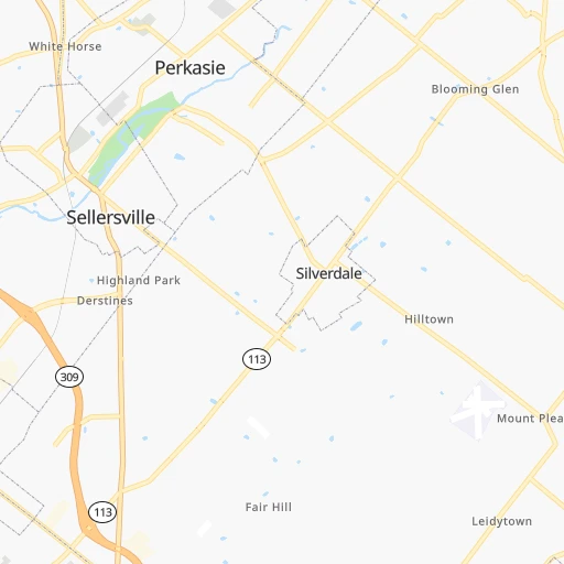
Roadmap (route) to go from Doylestown Airport to Hazleton detailed above, you can also see the course layout on the map.
While doing trip Doylestown (airport) - Hazleton by car, the calculated route ends at a distance , or more straight.
Distance and duration of the route between Doylestown (airport) and Hazleton
Calculation of distance and route from Hazleton to Doylestown (airport) :
99.8119.2 km2h35mn
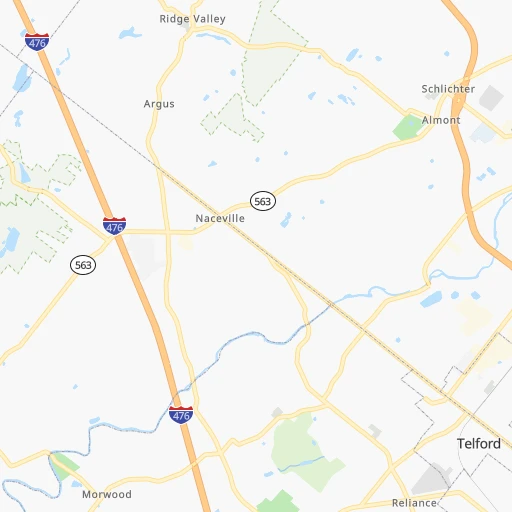
Continue 0h0mn 77 mTurn sharp left 0h0mn 179 mTurn sharp left onto Old Easton Road 0h1mn 591 mTurn left onto Old Easton Road 0h0mn 238 mTurn sharp right onto East Swamp Road 0h19mn 20.9 kmTurn right onto East Broad Street 0h1mn 508 mTurn left onto East Broad Street 0h1mn 558 mContinue onto East Broad Street 0h7mn 7.3 kmKeep right toward PATP 0h1mn 597 mKeep right and take I 476 North toward Allentown 1h31mn 50.8 kmKeep right and take US 209 toward Mahoning Valley, Lehighton, Stroudsburg 0h1mn 946 mKeep left and take US 209 South toward Lehighton 0h0mn 358 mKeep right and take US 209 South toward Lehighton 0h3mn 3.3 kmTurn right onto East Bridge Street 0h7mn 6.3 kmTurn right onto Lehigh Avenue 0h4mn 5.2 kmKeep right 0h0mn 103 mTurn slight right onto Hudson Drive 0h17mn 20.7 kmTurn right onto North Church Street 0h0mn 409 mTurn right onto West Holly Street 0h0mn 67 mTurn left onto North Lee Court 0h0mn 34 mArrive at destination 0h0mn 0 m
Travel from Doylestown (airport) (Pennsylvania) to a selection of major cities.
Distances from Doylestown Airport to biggest cities in Pennsylvania
- Mount Lebanon,32,730 inhabitants.418 km
- Bethel Park,32,118 inhabitants.417 km
- Wayne,30,892 inhabitants.39 km
- Radnor,30,878 inhabitants.38 km
- Williamsport,29,201 inhabitants.188 km
- Monroeville,28,176 inhabitants.396 km
- Cranberry Township,28,098 inhabitants.423 km
- Drexel Hill,28,043 inhabitants.45 km
- Plum,27,505 inhabitants.392 km
- Back Mountain,26,973 inhabitants.134 km
- Easton,26,915 inhabitants.40 km
- Pennsport,26,000 inhabitants.45 km
- Lebanon,25,534 inhabitants.109 km
- Whitehall Township,24,896 inhabitants.49 km
- Hazleton,24,825 inhabitants.100 km
- Springfield,23,363 inhabitants.48 km
- Pottstown,22,664 inhabitants.46 km
- New Castle,22,375 inhabitants.447 km
- Allison Park,21,552 inhabitants.410 km
- Chambersburg,20,691 inhabitants.220 km
Other major cities in country :
- Seattle [WA], 684,451 inhabitants. 3,806 km
- Denver [CO], 682,545 inhabitants. 2,534 km
- El Paso [TX], 681,124 inhabitants. 2,962 km
- Detroit [MI], 677,116 inhabitants. 698 km
- Boston [MA], 667,137 inhabitants. 408 km
- Memphis [TN], 655,770 inhabitants. 1,433 km
- New South Memphis [TN], 641,608 inhabitants. 1,436 km
- Portland [OR], 632,309 inhabitants. 3,861 km
- Oklahoma City [OK], 631,346 inhabitants. 2,034 km
- Las Vegas [NV], 623,747 inhabitants. 3,498 km
- Baltimore [MD], 621,849 inhabitants. 172 km
- Washington, D.C. [DC], 601,723 inhabitants. 229 km
- Milwaukee [WI], 600,155 inhabitants. 1,103 km
- South Boston [MA], 571,281 inhabitants. 407 km
- Albuquerque [NM], 559,121 inhabitants. 2,822 km
- Tucson [AZ], 531,641 inhabitants. 3,313 km
- Nashville [TN], 530,852 inhabitants. 1,119 km
- Fresno [CA], 520,052 inhabitants. 3,867 km
- Sacramento [CA], 490,712 inhabitants. 3,944 km
- Kansas City [MO], 475,378 inhabitants. 1,668 km
Route from Hazleton to major cities (United States).
- Distance Hazleton New York City168 km
- Distance Hazleton Los Angeles3,773 km
- Distance Hazleton Chicago979 km
- Distance Hazleton Brooklyn174 km
- Distance Hazleton Houston2,149 km
- Distance Hazleton Queens183 km
- Distance Hazleton Phoenix3,283 km
- Distance Hazleton Manhattan170 km
- Distance Hazleton San Antonio2,407 km
- Distance Hazleton San Diego3,746 km
- Distance Hazleton The Bronx178 km
- Distance Hazleton Dallas2,059 km
- Distance Hazleton San Jose3,939 km
- Distance Hazleton Austin2,292 km
- Distance Hazleton Jacksonville1,289 km
- Distance Hazleton San Francisco3,966 km
- Distance Hazleton Columbus605 km
- Distance Hazleton Fort Worth2,103 km
- Distance Hazleton Indianapolis873 km
- Distance Hazleton Charlotte767 km
Nearest cities to Doylestown (airport) :
- New York City, 8,175,133 inhabitants. 104 km
- Brooklyn, 2,300,664 inhabitants. 106 km
- Queens, 2,272,771 inhabitants. 116 km
- Philadelphia, 1,567,442 inhabitants. 43 km
- Manhattan, 1,487,536 inhabitants. 110 km
- The Bronx, 1,385,108 inhabitants. 121 km
- Baltimore, 621,849 inhabitants. 172 km
- Washington, D.C., 601,723 inhabitants. 229 km
- Staten Island, 468,730 inhabitants. 87 km
- Newark, 281,944 inhabitants. 92 km
- Jersey City, 264,290 inhabitants. 99 km
- Richmond, 220,289 inhabitants. 370 km
- Jamaica, 216,866 inhabitants. 119 km
- Rochester, 209,802 inhabitants. 376 km
- Arlington, 207,627 inhabitants. 234 km
- Yonkers, 201,116 inhabitants. 123 km
- Harlem, 181,259 inhabitants. 113 km
- East Flatbush, 178,464 inhabitants. 107 km
- East New York, 173,198 inhabitants. 112 km
- Springfield, 154,341 inhabitants. 289 km
- Alexandria, 153,511 inhabitants. 237 km
- Washington Heights, 152,613 inhabitants. 116 km
- Astoria, 150,165 inhabitants. 112 km
- Borough Park, 149,248 inhabitants. 101 km
- Paterson, 147,754 inhabitants. 103 km
- Bridgeport, 147,629 inhabitants. 187 km
- Syracuse, 144,142 inhabitants. 314 km
- New Haven, 130,322 inhabitants. 214 km
- Elizabeth, 129,007 inhabitants. 86 km
- Stamford, 128,874 inhabitants. 156 km
- Sunset Park, 126,000 inhabitants. 100 km
- Hartford, 124,006 inhabitants. 259 km
- Sheepshead Bay, 122,534 inhabitants. 104 km
- North Stamford, 121,230 inhabitants. 161 km
- Allentown, 120,207 inhabitants. 44 km
- East Harlem, 115,921 inhabitants. 112 km
- Elmhurst, 113,364 inhabitants. 115 km
- Bushwick, 112,620 inhabitants. 110 km
- Gravesend, 112,229 inhabitants. 103 km
- Corona, 109,698 inhabitants. 116 km
- Waterbury, 108,802 inhabitants. 221 km
- Edison, 102,548 inhabitants. 64 km
- Columbia, 99,615 inhabitants. 191 km
- Richmond Hill, 98,984 inhabitants. 117 km
- Albany, 98,469 inhabitants. 282 km
- Fordham, 94,678 inhabitants. 119 km
- West Albany, 93,794 inhabitants. 285 km
- Flatbush, 93,361 inhabitants. 105 km
- Toms River, 88,791 inhabitants. 89 km
- Norwalk, 88,485 inhabitants. 169 km
Location Doylestown (airport) (Pennsylvania) :
| Country flag |  |
| Location | Doylestown (airport) |
| State | Pennsylvania |
| County | Bucks County |
| Country | United States |
| Country code / ISO 2 | US |
| Latitude | 40.3334400 |
| Longitude | -75.1246200 |
| Altitude | 114 meters |
| Time zone | America/New_York |
Location Hazleton (Pennsylvania) :
| Country flag | |
| Location | Hazleton |
| State | Pennsylvania |
| County | Luzerne County |
| Country | United States |
| Country code / ISO 2 | US |
| Latitude | 40.9584200 |
| Longitude | -75.9746500 |
| Altitude | 505 meters |
| Time zone | America/New_York |


