

Home
››
Cedar Acres Private Group Airport
››
Roadmap from Cedar Acres Private Group Airport to Lebanon
How to get from Cedar Acres Private Group (airport) (Pennsylvania) to Lebanon (Pennsylvania)
Calculate route from Cedar Acres Private Group (airport) (Pennsylvania, United States) to Lebanon (Pennsylvania, United States).
The flight distance (as the crow flies) between Cedar Acres Private Group (airport) and Lebanon is 108.4 km.
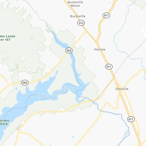
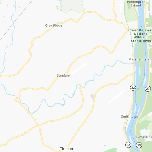
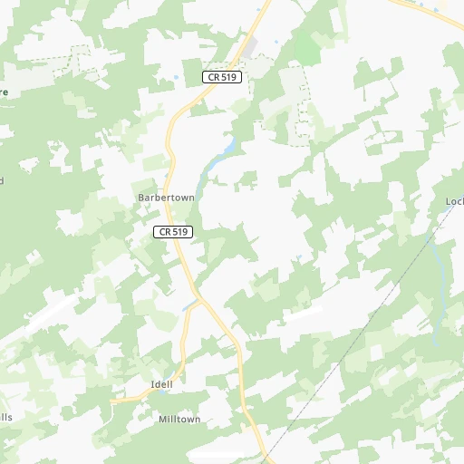
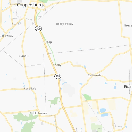
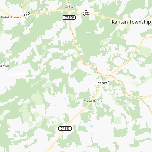
Roadmap (route) to go from Cedar Acres Private Group Airport to Lebanon detailed above, you can also see the course layout on the map.
While doing trip Cedar Acres Private Group (airport) - Lebanon by car, the calculated route ends at a distance , or more straight.
Distance and duration of the route between Cedar Acres Private Group (airport) and Lebanon
Calculation of distance and route from Lebanon to Cedar Acres Private Group (airport) :
108.4133.3 km2h51mn
Continue 0h1mn 236 mTurn left onto Bunker Hill Road 0h1mn 620 mTurn slight left onto Beaver Run Road 0h0mn 217 mTurn left onto Beaver Run Road 0h4mn 1.8 kmContinue onto Marienstein Road 0h1mn 459 mTurn right 0h0mn 54 mContinue onto Easton Road 0h3mn 2.5 kmTurn sharp left onto Church Hill Road 0h3mn 2.5 kmTurn right onto Durham Road 0h8mn 7.8 kmTurn left onto Durham Road 0h3mn 3.0 kmTurn right onto Hellertown Road 0h4mn 4.2 kmTurn sharp left onto Apples Church Road 0h6mn 5.5 kmTurn right onto Passer Road 0h0mn 103 mTurn right onto PA 309 0h5mn 5.5 kmKeep left onto PA 309 and take I 78 West, PA 309 North toward Harrisburg, Tamaqua 0h8mn 9.9 kmKeep left onto I 78 and take I 78 West toward Harrisburg 1h45mn 65.8 kmKeep right and take PA 501 toward Bethel 0h0mn 245 mTurn sharp left onto Lancaster Avenue 0h0mn 471 mTurn right onto Lancaster Avenue 0h2mn 1.9 kmTurn right onto Lancaster Avenue 0h9mn 10.3 kmKeep right 0h10mn 10.0 kmTurn sharp right onto North Lincoln Avenue 0h0mn 70 mTurn right onto Spring Street 0h0mn 20 mArrive at destination 0h0mn 0 m
Travel from Cedar Acres Private Group (airport) (Pennsylvania) to a selection of major cities.
Distances from Cedar Acres Private Group Airport to biggest cities in Pennsylvania
- Mount Lebanon,32,730 inhabitants.416 km
- Bethel Park,32,118 inhabitants.415 km
- Wayne,30,892 inhabitants.55 km
- Radnor,30,878 inhabitants.53 km
- Williamsport,29,201 inhabitants.177 km
- Monroeville,28,176 inhabitants.393 km
- Cranberry Township,28,098 inhabitants.420 km
- Drexel Hill,28,043 inhabitants.63 km
- Plum,27,505 inhabitants.390 km
- Back Mountain,26,973 inhabitants.117 km
- Easton,26,915 inhabitants.22 km
- Pennsport,26,000 inhabitants.64 km
- Lebanon,25,534 inhabitants.109 km
- Whitehall Township,24,896 inhabitants.35 km
- Hazleton,24,825 inhabitants.87 km
- Springfield,23,363 inhabitants.65 km
- Pottstown,22,664 inhabitants.51 km
- New Castle,22,375 inhabitants.442 km
- Allison Park,21,552 inhabitants.407 km
- Chambersburg,20,691 inhabitants.223 km
Other major cities in country :
- Seattle [WA], 684,451 inhabitants. 3,796 km
- Denver [CO], 682,545 inhabitants. 2,529 km
- El Paso [TX], 681,124 inhabitants. 2,963 km
- Detroit [MI], 677,116 inhabitants. 690 km
- Boston [MA], 667,137 inhabitants. 399 km
- Memphis [TN], 655,770 inhabitants. 1,437 km
- New South Memphis [TN], 641,608 inhabitants. 1,441 km
- Portland [OR], 632,309 inhabitants. 3,852 km
- Oklahoma City [OK], 631,346 inhabitants. 2,035 km
- Las Vegas [NV], 623,747 inhabitants. 3,495 km
- Baltimore [MD], 621,849 inhabitants. 184 km
- Washington, D.C. [DC], 601,723 inhabitants. 241 km
- Milwaukee [WI], 600,155 inhabitants. 1,095 km
- South Boston [MA], 571,281 inhabitants. 398 km
- Albuquerque [NM], 559,121 inhabitants. 2,820 km
- Tucson [AZ], 531,641 inhabitants. 3,312 km
- Nashville [TN], 530,852 inhabitants. 1,124 km
- Fresno [CA], 520,052 inhabitants. 3,862 km
- Sacramento [CA], 490,712 inhabitants. 3,938 km
- Kansas City [MO], 475,378 inhabitants. 1,666 km
Route from Lebanon to major cities (United States).
- Distance Lebanon New York City208 km
- Distance Lebanon Los Angeles3,739 km
- Distance Lebanon Chicago957 km
- Distance Lebanon Brooklyn211 km
- Distance Lebanon Houston2,083 km
- Distance Lebanon Queens221 km
- Distance Lebanon Phoenix3,243 km
- Distance Lebanon Manhattan213 km
- Distance Lebanon San Antonio2,344 km
- Distance Lebanon San Diego3,709 km
- Distance Lebanon The Bronx222 km
- Distance Lebanon Dallas2,002 km
- Distance Lebanon San Jose3,914 km
- Distance Lebanon Austin2,230 km
- Distance Lebanon Jacksonville1,211 km
- Distance Lebanon San Francisco3,942 km
- Distance Lebanon Columbus562 km
- Distance Lebanon Fort Worth2,047 km
- Distance Lebanon Indianapolis833 km
- Distance Lebanon Charlotte690 km
Nearest cities to Cedar Acres Private Group (airport) :
- New York City, 8,175,133 inhabitants. 99 km
- Brooklyn, 2,300,664 inhabitants. 103 km
- Queens, 2,272,771 inhabitants. 113 km
- Philadelphia, 1,567,442 inhabitants. 61 km
- Manhattan, 1,487,536 inhabitants. 105 km
- The Bronx, 1,385,108 inhabitants. 115 km
- Baltimore, 621,849 inhabitants. 184 km
- Washington, D.C., 601,723 inhabitants. 241 km
- Staten Island, 468,730 inhabitants. 86 km
- Newark, 281,944 inhabitants. 87 km
- Jersey City, 264,290 inhabitants. 94 km
- Richmond, 220,289 inhabitants. 384 km
- Jamaica, 216,866 inhabitants. 115 km
- Rochester, 209,802 inhabitants. 360 km
- Arlington, 207,627 inhabitants. 246 km
- Yonkers, 201,116 inhabitants. 116 km
- Harlem, 181,259 inhabitants. 107 km
- East Flatbush, 178,464 inhabitants. 104 km
- East New York, 173,198 inhabitants. 109 km
- Springfield, 154,341 inhabitants. 279 km
- Alexandria, 153,511 inhabitants. 249 km
- Washington Heights, 152,613 inhabitants. 110 km
- Astoria, 150,165 inhabitants. 107 km
- Borough Park, 149,248 inhabitants. 98 km
- Paterson, 147,754 inhabitants. 95 km
- Bridgeport, 147,629 inhabitants. 180 km
- Syracuse, 144,142 inhabitants. 296 km
- New Haven, 130,322 inhabitants. 207 km
- Elizabeth, 129,007 inhabitants. 81 km
- Stamford, 128,874 inhabitants. 149 km
- Sunset Park, 126,000 inhabitants. 97 km
- Hartford, 124,006 inhabitants. 250 km
- Sheepshead Bay, 122,534 inhabitants. 102 km
- North Stamford, 121,230 inhabitants. 153 km
- Allentown, 120,207 inhabitants. 31 km
- East Harlem, 115,921 inhabitants. 107 km
- Elmhurst, 113,364 inhabitants. 110 km
- Bushwick, 112,620 inhabitants. 106 km
- Gravesend, 112,229 inhabitants. 101 km
- Corona, 109,698 inhabitants. 112 km
- Waterbury, 108,802 inhabitants. 212 km
- Edison, 102,548 inhabitants. 62 km
- Columbia, 99,615 inhabitants. 201 km
- Richmond Hill, 98,984 inhabitants. 113 km
- Albany, 98,469 inhabitants. 266 km
- Fordham, 94,678 inhabitants. 113 km
- West Albany, 93,794 inhabitants. 269 km
- Flatbush, 93,361 inhabitants. 102 km
- Toms River, 88,791 inhabitants. 101 km
- Norwalk, 88,485 inhabitants. 162 km
Location Cedar Acres Private Group (airport) (Pennsylvania) :
| Country flag |  |
| Location | Cedar Acres Private Group (airport) |
| State | Pennsylvania |
| County | Bucks County |
| Country | United States |
| Country code / ISO 2 | US |
| Latitude | 40.4983200 |
| Longitude | -75.1473200 |
| Altitude | 150 meters |
| Time zone | America/New_York |
Location Lebanon (Pennsylvania) :
| Country flag | |
| Location | Lebanon |
| State | Pennsylvania |
| County | Lebanon County |
| Country | United States |
| Country code / ISO 2 | US |
| Latitude | 40.3409300 |
| Longitude | -76.4113500 |
| Altitude | 143 meters |
| Time zone | America/New_York |
