

How to get from Boyer (airport) (Pennsylvania) to Washington Heights (New York)
Calculate route from Boyer (airport) (Pennsylvania, United States) to Washington Heights (New York, United States).
The flight distance (as the crow flies) between Boyer (airport) and Washington Heights is 192.0 km.
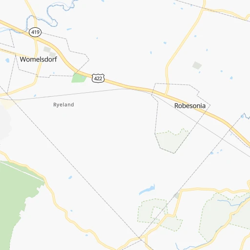
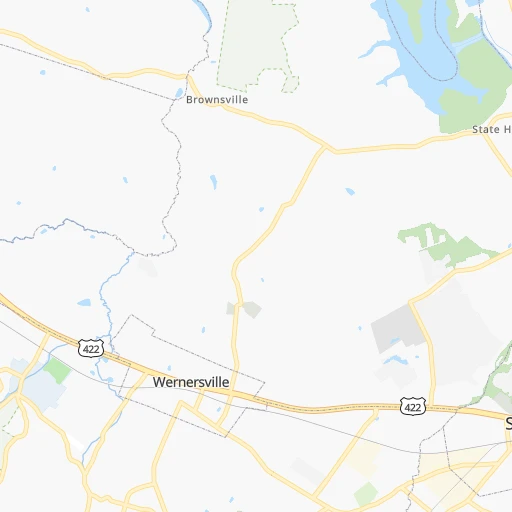
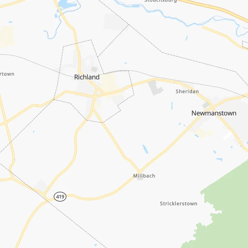
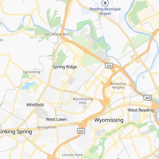
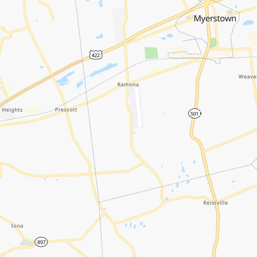
Roadmap (route) to go from Boyer Airport to Washington Heights detailed above, you can also see the course layout on the map.
While doing trip Boyer (airport) - Washington Heights by car, the calculated route ends at a distance , or more straight.
Distance and duration of the route between Boyer (airport) and Washington Heights
Calculation of distance and route from Washington Heights to Boyer (airport) :
192.0221.2 km3h37mn
Continue onto Hospital Road 0h1mn 490 mTurn left onto Furnace Road 0h2mn 1.8 kmTurn right onto West Penn Avenue 0h7mn 6.1 kmKeep left onto Mull Avenue 0h5mn 5.0 kmTurn sharp left and take US 222 North toward Allentown 0h8mn 10.0 kmKeep right and take US 222 Business South toward Laureldale 0h0mn 249 mKeep left 0h0mn 113 mTurn left onto Allentown Pike 0h1mn 1.2 kmContinue onto Kutztown Road 0h2mn 2.1 kmAt roundabout, take exit 2 onto Allentown Pike 0h1mn 691 mAt roundabout, take exit 2 onto Allentown Pike 0h4mn 5.1 kmAt roundabout, take exit 2 onto Kutztown Road 0h12mn 16.5 kmAt roundabout, take exit 2 onto Hamilton Boulevard 0h3mn 4.0 kmKeep right onto Hamilton Boulevard and drive toward Trexlerville 0h7mn 7.6 kmTurn slight left 0h0mn 344 mKeep right and take I 78 East, PA 309 South toward Bethlehem, Quakertown 1h58mn 87.9 kmKeep right onto Phillipsburg-Newark Expressway 0h17mn 26.7 kmKeep right onto Phillipsburg-Newark Expressway 0h10mn 16.5 kmKeep right and take I 95, NJTP toward Trenton 0h0mn 25 mKeep left toward I 95 North, NJTP North 0h2mn 2.2 kmKeep right and take I 95, NJ 3 toward George Washington Bridge 0h11mn 18.0 kmKeep right and take US 46 toward The Ridgefields, Palisades Park 0h0mn 251 mKeep right and take US 46 East toward Ridgefield, Palisades Park 0h4mn 4.4 kmKeep left onto US 1, US 9, US 46 0h0mn 437 mKeep left and drive toward George Washington Bridge Upper Level 0h0mn 597 mKeep right onto I 95, US 1, US 9 0h0mn 27 mKeep left onto I 95, US 1, US 9 0h2mn 2.0 kmKeep right onto US 9 and take NY 9A toward Henry Hudson Parkway, West 178th Street 0h0mn 164 mKeep left onto US 9 and take US 9 toward West 178th Street 0h0mn 398 mTurn left onto Broadway 0h0mn 166 mTurn right onto West 180th Street 0h0mn 89 mTurn left onto Wadsworth Avenue 0h0mn 88 mTurn left onto West 181st Street 0h0mn 47 mArrive at destination 0h0mn 0 m
Travel from Boyer (airport) (New York) to a selection of major cities.
Distances from Boyer Airport to biggest cities in Pennsylvania
- Mount Lebanon,32,730 inhabitants.335 km
- Bethel Park,32,118 inhabitants.334 km
- Wayne,30,892 inhabitants.68 km
- Radnor,30,878 inhabitants.70 km
- Williamsport,29,201 inhabitants.127 km
- Monroeville,28,176 inhabitants.313 km
- Cranberry Township,28,098 inhabitants.341 km
- Drexel Hill,28,043 inhabitants.80 km
- Plum,27,505 inhabitants.310 km
- Back Mountain,26,973 inhabitants.113 km
- Easton,26,915 inhabitants.85 km
- Pennsport,26,000 inhabitants.92 km
- Lebanon,25,534 inhabitants.26 km
- Whitehall Township,24,896 inhabitants.64 km
- Hazleton,24,825 inhabitants.72 km
- Springfield,23,363 inhabitants.79 km
- Pottstown,22,664 inhabitants.39 km
- New Castle,22,375 inhabitants.366 km
- Allison Park,21,552 inhabitants.328 km
- Chambersburg,20,691 inhabitants.139 km
Other major cities in country :
- Seattle [WA], 684,451 inhabitants. 3,734 km
- Denver [CO], 682,545 inhabitants. 2,452 km
- El Paso [TX], 681,124 inhabitants. 2,880 km
- Detroit [MI], 677,116 inhabitants. 622 km
- Boston [MA], 667,137 inhabitants. 478 km
- Memphis [TN], 655,770 inhabitants. 1,354 km
- New South Memphis [TN], 641,608 inhabitants. 1,358 km
- Portland [OR], 632,309 inhabitants. 3,786 km
- Oklahoma City [OK], 631,346 inhabitants. 1,952 km
- Las Vegas [NV], 623,747 inhabitants. 3,416 km
- Baltimore [MD], 621,849 inhabitants. 123 km
- Washington, D.C. [DC], 601,723 inhabitants. 178 km
- Milwaukee [WI], 600,155 inhabitants. 1,026 km
- South Boston [MA], 571,281 inhabitants. 478 km
- Albuquerque [NM], 559,121 inhabitants. 2,739 km
- Tucson [AZ], 531,641 inhabitants. 3,230 km
- Nashville [TN], 530,852 inhabitants. 1,041 km
- Fresno [CA], 520,052 inhabitants. 3,785 km
- Sacramento [CA], 490,712 inhabitants. 3,864 km
- Kansas City [MO], 475,378 inhabitants. 1,585 km
Route from Washington Heights to major cities (United States).
- Distance Washington Heights Los Angeles3,945 km
- Distance Washington Heights Chicago1,150 km
- Distance Washington Heights Houston2,295 km
- Distance Washington Heights Philadelphia144 km
- Distance Washington Heights Phoenix3,454 km
- Distance Washington Heights San Antonio2,559 km
- Distance Washington Heights San Diego3,918 km
- Distance Washington Heights Dallas2,219 km
- Distance Washington Heights San Jose4,110 km
- Distance Washington Heights Austin2,445 km
- Distance Washington Heights Jacksonville1,362 km
- Distance Washington Heights San Francisco4,136 km
- Distance Washington Heights Columbus774 km
- Distance Washington Heights Fort Worth2,263 km
- Distance Washington Heights Indianapolis1,044 km
- Distance Washington Heights Charlotte870 km
- Distance Washington Heights Seattle3,868 km
- Distance Washington Heights Denver2,625 km
- Distance Washington Heights El Paso3,070 km
- Distance Washington Heights Detroit776 km
Nearest cities to Boyer (airport) :
- New York City, 8,175,133 inhabitants. 183 km
- Brooklyn, 2,300,664 inhabitants. 186 km
- Queens, 2,272,771 inhabitants. 196 km
- Philadelphia, 1,567,442 inhabitants. 90 km
- Manhattan, 1,487,536 inhabitants. 188 km
- The Bronx, 1,385,108 inhabitants. 198 km
- Baltimore, 621,849 inhabitants. 123 km
- Washington, D.C., 601,723 inhabitants. 178 km
- Staten Island, 468,730 inhabitants. 168 km
- Newark, 281,944 inhabitants. 170 km
- Jersey City, 264,290 inhabitants. 177 km
- Buffalo, 258,071 inhabitants. 367 km
- Richmond, 220,289 inhabitants. 330 km
- Jamaica, 216,866 inhabitants. 199 km
- Rochester, 209,802 inhabitants. 340 km
- Arlington, 207,627 inhabitants. 182 km
- Yonkers, 201,116 inhabitants. 198 km
- Harlem, 181,259 inhabitants. 190 km
- East Flatbush, 178,464 inhabitants. 187 km
- East New York, 173,198 inhabitants. 192 km
- Alexandria, 153,511 inhabitants. 187 km
- Washington Heights, 152,613 inhabitants. 192 km
- Astoria, 150,165 inhabitants. 190 km
- Borough Park, 149,248 inhabitants. 182 km
- Paterson, 147,754 inhabitants. 176 km
- Bridgeport, 147,629 inhabitants. 262 km
- Syracuse, 144,142 inhabitants. 304 km
- Elizabeth, 129,007 inhabitants. 164 km
- Stamford, 128,874 inhabitants. 231 km
- Sunset Park, 126,000 inhabitants. 180 km
- Sheepshead Bay, 122,534 inhabitants. 185 km
- Amherst, 122,366 inhabitants. 371 km
- North Stamford, 121,230 inhabitants. 234 km
- Allentown, 120,207 inhabitants. 61 km
- East Harlem, 115,921 inhabitants. 190 km
- Elmhurst, 113,364 inhabitants. 194 km
- Bushwick, 112,620 inhabitants. 189 km
- Gravesend, 112,229 inhabitants. 183 km
- Corona, 109,698 inhabitants. 195 km
- Edison, 102,548 inhabitants. 145 km
- Columbia, 99,615 inhabitants. 136 km
- Richmond Hill, 98,984 inhabitants. 197 km
- Albany, 98,469 inhabitants. 325 km
- Fordham, 94,678 inhabitants. 196 km
- West Albany, 93,794 inhabitants. 326 km
- Flatbush, 93,361 inhabitants. 185 km
- Toms River, 88,791 inhabitants. 167 km
- Norwalk, 88,485 inhabitants. 244 km
- Reading, 87,879 inhabitants. 15 km
- Canarsie, 87,366 inhabitants. 190 km
Location Boyer (airport) (Pennsylvania) :
| Country flag |  |
| Location | Boyer (airport) |
| State | Pennsylvania |
| County | Berks County |
| Country | United States |
| Country code / ISO 2 | US |
| Latitude | 40.3215000 |
| Longitude | -76.1009600 |
| Altitude | 157 meters |
| Time zone | America/New_York |
Location Washington Heights (New York) :
| Country flag | |
| Location | Washington Heights |
| State | New York |
| County | New York County |
| Country | United States |
| Country code / ISO 2 | US |
| Latitude | 40.8501000 |
| Longitude | -73.9354100 |
| Altitude | 54 meters |
| Time zone | America/New_York |


