
How to get from Oldman Landing Strip (Ohio) to Flint (Michigan)
Calculate route from Oldman Landing Strip (Ohio, United States) to Flint (Michigan, United States).
The flight distance (as the crow flies) between Oldman Landing Strip and Flint is 296.5 km.
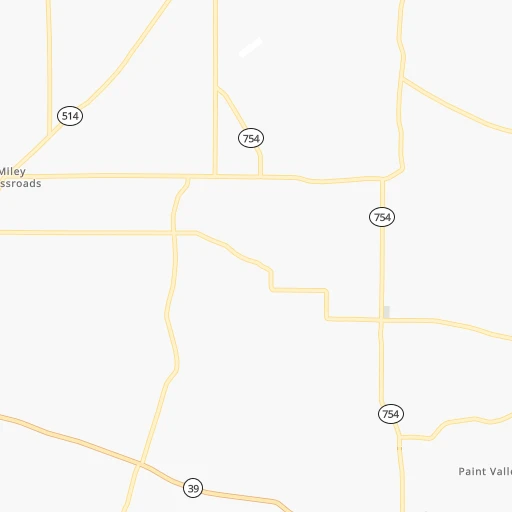
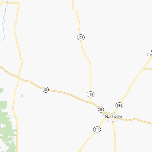
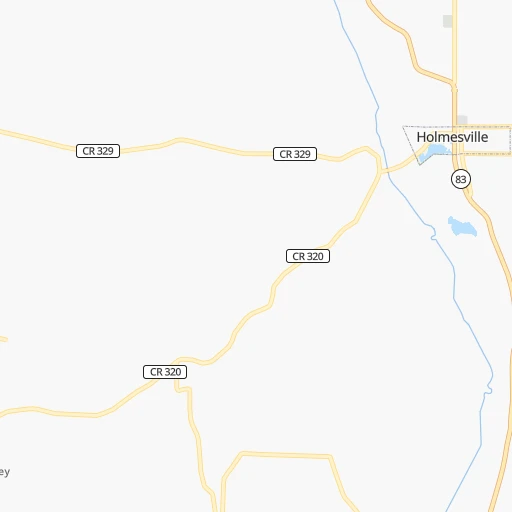
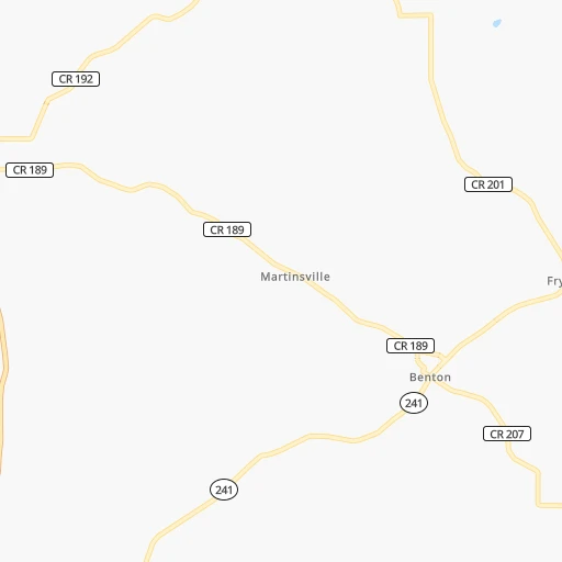
Roadmap (route) to go from Oldman Landing Strip to Flint detailed above, you can also see the course layout on the map.
While doing trip Oldman Landing Strip - Flint by car, the calculated route ends at a distance , or more straight.
Distance and duration of the route between Oldman Landing Strip and Flint
Calculation of distance and route from Flint to Oldman Landing Strip :
296.5360.5 km4h23mn
Continue onto Township Road 517 0h1mn 486 mTurn right onto SR 754, CR 51 0h1mn 956 mTurn left onto County Highway 330 0h3mn 2.6 kmTurn left onto County Highway 330 0h1mn 1.1 kmTurn left onto Shreve Road 0h1mn 783 mTurn right onto State Route 226 0h0mn 408 mTurn right onto McFadden Road 0h0mn 118 mTurn left onto Newkirk Road 0h1mn 1.2 kmTurn left onto Metcalf Road 0h3mn 1.3 kmTurn right onto Metcalf Road 0h2mn 964 mContinue onto Metcalf Road 0h3mn 1.6 kmTurn right onto SR 179 0h15mn 15.2 kmTurn right onto North Mechanic Street 0h12mn 12.1 kmTurn left onto West Main Street 0h0mn 229 mTurn right onto South Cottage Street 0h2mn 2.2 kmAt roundabout, take exit 2 onto North Cottage Street 0h22mn 26.9 kmTurn left onto US 250, SR 162 0h0mn 564 mTurn slight right onto Wooster Street 0h15mn 17.1 kmTurn left 0h8mn 9.8 kmTurn right onto SR 99 0h9mn 9.2 kmTurn left onto Strecker Road 0h2mn 1.6 kmTurn sharp right onto Hayes Avenue 0h2mn 2.0 kmTurn left 0h0mn 577 mKeep right 1h43mn 72.5 kmKeep right and take I 75 toward Toledo, Dayton 0h1mn 763 mKeep right 0h9mn 13.6 kmKeep left and take I 475 West toward Sylvania, Ann Arbor 0h2mn 2.8 kmKeep right and drive toward Douglas Road 0h0mn 369 mTurn right onto Douglas Road 0h3mn 2.4 kmTurn left onto Tremainsville Road 0h3mn 2.1 kmTurn left onto West Alexis Road 0h0mn 251 mTurn right onto Secor Road 0h0mn 426 mTurn left onto Whiteford Center Road 0h1mn 1.5 kmContinue onto Whiteford Center Road 0h8mn 8.7 kmTurn left onto Saint Anthony Road 0h0mn 93 mAt roundabout, take exit 1 1h38mn 63.6 kmKeep right onto US 23 and take US 23 North toward Brighton, Flint 1h45mn 76.0 kmKeep right and take I 69 toward Lansing, Port Huron 0h0mn 418 mKeep right and take I 69 toward Lansing, Flint, Port Huron 0h0mn 360 mKeep right and take I 69 East toward Flint, Port Huron 0h3mn 4.3 kmKeep right and drive toward Saginaw Street, Downtown 0h0mn 310 mTurn left onto South Grand Traverse Street 0h0mn 467 mTurn right onto West Fifth Street 0h0mn 433 mTurn left 0h0mn 102 mTurn left 0h0mn 28 mArrive at destination 0h0mn 0 m
Travel from Oldman Landing Strip (Michigan) to a selection of major cities.
Distances from Oldman Landing Strip to biggest cities in Ohio
- Mansfield,46,830 inhabitants.42 km
- Beavercreek,46,277 inhabitants.200 km
- Dublin,45,098 inhabitants.109 km
- Cleveland Heights,44,962 inhabitants.106 km
- Strongsville,44,668 inhabitants.77 km
- Fairfield,42,767 inhabitants.258 km
- Findlay,41,149 inhabitants.142 km
- Warren,40,245 inhabitants.123 km
- Lancaster,39,766 inhabitants.113 km
- Grove City,39,388 inhabitants.123 km
- Westerville,38,384 inhabitants.94 km
- Huber Heights,38,176 inhabitants.198 km
- Delaware,37,995 inhabitants.94 km
- Lima,37,873 inhabitants.174 km
- Reynoldsburg,37,158 inhabitants.100 km
- Marion,36,363 inhabitants.92 km
- Boardman,35,376 inhabitants.124 km
- Upper Arlington,34,907 inhabitants.112 km
- Stow,34,797 inhabitants.77 km
- Brunswick,34,689 inhabitants.69 km
Other major cities in country :
- Seattle [WA], 684,451 inhabitants. 3,272 km
- Denver [CO], 682,545 inhabitants. 1,948 km
- El Paso [TX], 681,124 inhabitants. 2,397 km
- Detroit [MI], 677,116 inhabitants. 206 km
- Boston [MA], 667,137 inhabitants. 935 km
- Memphis [TN], 655,770 inhabitants. 931 km
- New South Memphis [TN], 641,608 inhabitants. 936 km
- Portland [OR], 632,309 inhabitants. 3,312 km
- Oklahoma City [OK], 631,346 inhabitants. 1,471 km
- Las Vegas [NV], 623,747 inhabitants. 2,911 km
- Baltimore [MD], 621,849 inhabitants. 487 km
- Washington, D.C. [DC], 601,723 inhabitants. 471 km
- Milwaukee [WI], 600,155 inhabitants. 554 km
- South Boston [MA], 571,281 inhabitants. 936 km
- Albuquerque [NM], 559,121 inhabitants. 2,241 km
- Tucson [AZ], 531,641 inhabitants. 2,736 km
- Nashville [TN], 530,852 inhabitants. 647 km
- Fresno [CA], 520,052 inhabitants. 3,281 km
- Sacramento [CA], 490,712 inhabitants. 3,362 km
- Kansas City [MO], 475,378 inhabitants. 1,083 km
Route from Flint to major cities (United States).
- Distance Flint New York City842 km
- Distance Flint Los Angeles3,145 km
- Distance Flint Chicago350 km
- Distance Flint Brooklyn849 km
- Distance Flint Houston1,804 km
- Distance Flint Queens857 km
- Distance Flint Philadelphia788 km
- Distance Flint Phoenix2,684 km
- Distance Flint Manhattan842 km
- Distance Flint San Antonio2,008 km
- Distance Flint San Diego3,132 km
- Distance Flint The Bronx848 km
- Distance Flint Dallas1,616 km
- Distance Flint San Jose3,281 km
- Distance Flint Austin1,889 km
- Distance Flint Jacksonville1,423 km
- Distance Flint San Francisco3,305 km
- Distance Flint Columbus344 km
- Distance Flint Fort Worth1,653 km
- Distance Flint Indianapolis416 km
Nearest cities to Oldman Landing Strip :
- Columbus, 850,106 inhabitants. 111 km
- Detroit, 677,116 inhabitants. 206 km
- Cleveland, 388,072 inhabitants. 100 km
- Lexington-Fayette, 314,488 inhabitants. 355 km
- Pittsburgh, 304,391 inhabitants. 175 km
- Cincinnati, 296,943 inhabitants. 270 km
- Meads, 288,649 inhabitants. 254 km
- Ironville, 288,649 inhabitants. 249 km
- Toledo, 279,789 inhabitants. 170 km
- Lexington, 225,366 inhabitants. 362 km
- Akron, 197,542 inhabitants. 66 km
- Dayton, 140,599 inhabitants. 207 km
- Warren, 134,056 inhabitants. 221 km
- Sterling Heights, 132,052 inhabitants. 231 km
- Ann Arbor, 117,070 inhabitants. 231 km
- Lansing, 115,056 inhabitants. 313 km
- Clinton Township, 99,753 inhabitants. 228 km
- Erie, 99,475 inhabitants. 233 km
- Flint, 98,310 inhabitants. 297 km
- Dearborn, 95,171 inhabitants. 210 km
- Livonia, 94,635 inhabitants. 221 km
- Canton, 86,825 inhabitants. 221 km
- Troy, 83,280 inhabitants. 237 km
- Westland, 82,000 inhabitants. 219 km
- Farmington Hills, 81,330 inhabitants. 233 km
- Parma, 79,937 inhabitants. 89 km
- Waterford, 75,737 inhabitants. 255 km
- Shelby, 74,099 inhabitants. 240 km
- Rochester Hills, 73,424 inhabitants. 243 km
- Southfield, 73,156 inhabitants. 226 km
- Canton, 71,885 inhabitants. 59 km
- West Bloomfield Township, 64,690 inhabitants. 242 km
- Youngstown, 64,628 inhabitants. 128 km
- Lorain, 63,647 inhabitants. 91 km
- Hamilton, 62,407 inhabitants. 255 km
- Taylor, 61,568 inhabitants. 205 km
- Pontiac, 59,917 inhabitants. 245 km
- Saint Clair Shores, 59,715 inhabitants. 218 km
- Springfield, 59,680 inhabitants. 170 km
- Royal Oak, 59,008 inhabitants. 225 km
- Novi, 58,723 inhabitants. 237 km
- Dearborn Heights, 56,145 inhabitants. 215 km
- Kettering, 55,525 inhabitants. 209 km
- Elyria, 53,775 inhabitants. 81 km
- Lakewood, 50,656 inhabitants. 96 km
- Redford, 49,936 inhabitants. 220 km
- Charleston, 49,736 inhabitants. 258 km
- Saginaw, 49,347 inhabitants. 347 km
- Cuyahoga Falls, 49,146 inhabitants. 72 km
- Niagara Falls, 48,916 inhabitants. 369 km
Location Oldman Landing Strip (Ohio) :
| Country flag |  |
| Location | Oldman Landing Strip |
| State | Ohio |
| County | Holmes County |
| Country | United States |
| Country code / ISO 2 | US |
| Latitude | 40.6408900 |
| Longitude | -82.0470900 |
| Altitude | 372 meters |
| Time zone | America/New_York |
Location Flint (Michigan) :
| Country flag | |
| Location | Flint |
| State | Michigan |
| County | Genesee County |
| Country | United States |
| Country code / ISO 2 | US |
| Latitude | 43.0125300 |
| Longitude | -83.6874600 |
| Altitude | 229 meters |
| Time zone | America/Detroit |


