
Home
››
L and M Mold Corporation Airport
››
Roadmap from L and M Mold Corporation Airport to Indianapolis
How to get from L and M Mold Corporation (airport) (Ohio) to Indianapolis (Indiana)
Calculate route from L and M Mold Corporation (airport) (Ohio, United States) to Indianapolis (Indiana, United States).
The flight distance (as the crow flies) between L and M Mold Corporation (airport) and Indianapolis is 442.3 km.
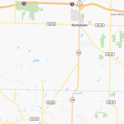
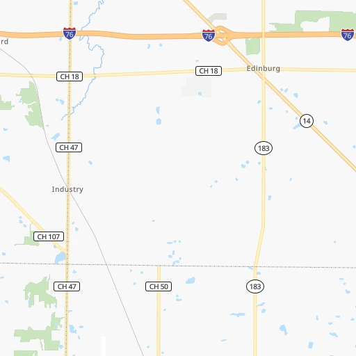
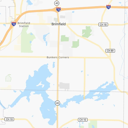
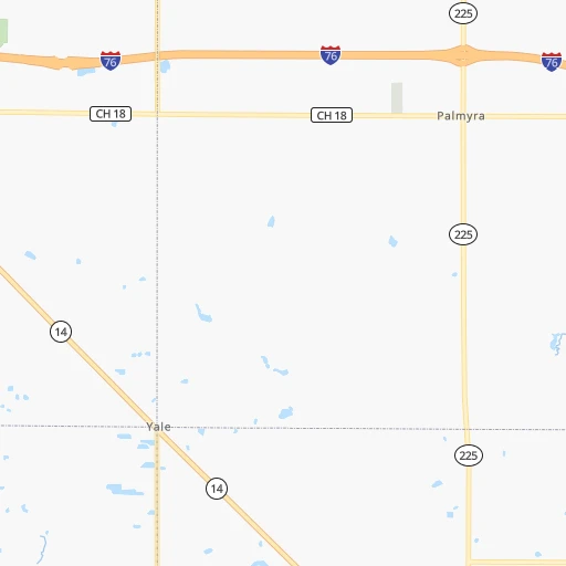
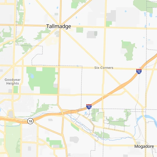
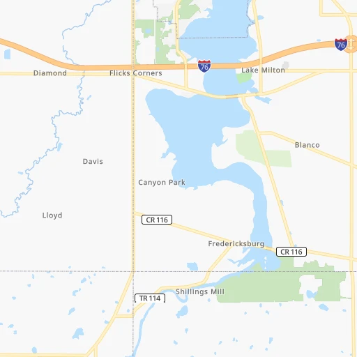
Roadmap (route) to go from L and M Mold Corporation Airport to Indianapolis detailed above, you can also see the course layout on the map.
While doing trip L and M Mold Corporation (airport) - Indianapolis by car, the calculated route ends at a distance , or more straight.
Distance and duration of the route between L and M Mold Corporation (airport) and Indianapolis
Calculation of distance and route from Indianapolis to L and M Mold Corporation (airport) :
442.3500.2 km5h18mn
Continue 0h0mn 110 mTurn right onto Tallmadge Road 0h1mn 900 mTurn right onto SR 44 0h1mn 1.2 kmTurn left 0h17mn 26.5 kmKeep right toward SR 59 East 0h2mn 1.8 kmTurn left onto East Avenue 0h3mn 3.4 kmTurn right toward I 76 West, US 224 West 0h18mn 27.3 kmKeep right and take I 71 South toward Columbus 1h26mn 145.5 kmKeep right toward I 270 West 0h9mn 13.4 kmKeep right and take US 33 West, SR 161 West toward Marysville, Avery-Muirfield Drive 0h1mn 627 mKeep right and drive toward Avery-Muirfield Drive 0h1mn 1.3 kmKeep left 0h2mn 3.0 kmKeep right onto SR 161 and take SR 161 toward Post Road, Plain City 0h0mn 424 mTurn left onto Post Road 0h0mn 352 mAt roundabout, take exit 1 onto Dublin-Plain City Road 0h0mn 388 mAt roundabout, take exit 2 onto Dublin-Plain City Road 0h0mn 409 mAt roundabout, take exit 2 onto Dublin-Plain City Road 0h3mn 3.5 kmTurn left onto Cemetery Pike 0h2mn 2.1 kmTurn right onto Cemetery Pike 0h3mn 2.9 kmTurn left onto London – Delaware Road 0h13mn 17.2 kmTurn right 2h28mn 244.5 kmKeep right and drive toward Michigan Street, Ohio Street, Fletcher Avenue 0h1mn 1.0 kmKeep right and drive toward Michigan Street, New York Street 0h0mn 310 mKeep right and drive toward Michigan Street, New York Street 0h0mn 36 mTurn slight right onto East North Street 0h1mn 448 mTurn left onto Massachusetts Avenue 0h0mn 220 mContinue onto Massachusetts Avenue 0h0mn 219 mKeep left onto North Alabama Street 0h1mn 311 mTurn right onto East Ohio Street 0h1mn 307 mTurn left onto North Pennsylvania Street 0h0mn 258 mTurn right onto East Court Street 0h0mn 155 mTurn right onto North Meridian Street 0h0mn 48 mEnter roundabout 0h0mn 4 mArrive at destination 0h0mn 0 m
Travel from L and M Mold Corporation (airport) (Indiana) to a selection of major cities.
Distances from L and M Mold Corporation Airport to biggest cities in Ohio
- Mansfield,46,830 inhabitants.115 km
- Beavercreek,46,277 inhabitants.286 km
- Dublin,45,098 inhabitants.194 km
- Cleveland Heights,44,962 inhabitants.54 km
- Strongsville,44,668 inhabitants.56 km
- Fairfield,42,767 inhabitants.344 km
- Findlay,41,149 inhabitants.203 km
- Warren,40,245 inhabitants.38 km
- Lancaster,39,766 inhabitants.193 km
- Grove City,39,388 inhabitants.208 km
- Westerville,38,384 inhabitants.180 km
- Huber Heights,38,176 inhabitants.282 km
- Delaware,37,995 inhabitants.179 km
- Lima,37,873 inhabitants.245 km
- Reynoldsburg,37,158 inhabitants.185 km
- Marion,36,363 inhabitants.170 km
- Boardman,35,376 inhabitants.48 km
- Upper Arlington,34,907 inhabitants.198 km
- Stow,34,797 inhabitants.19 km
- Brunswick,34,689 inhabitants.53 km
Other major cities in country :
- Seattle [WA], 684,451 inhabitants. 3,310 km
- Denver [CO], 682,545 inhabitants. 2,013 km
- El Paso [TX], 681,124 inhabitants. 2,478 km
- Detroit [MI], 677,116 inhabitants. 204 km
- Boston [MA], 667,137 inhabitants. 856 km
- Memphis [TN], 655,770 inhabitants. 1,017 km
- New South Memphis [TN], 641,608 inhabitants. 1,022 km
- Portland [OR], 632,309 inhabitants. 3,355 km
- Oklahoma City [OK], 631,346 inhabitants. 1,552 km
- Las Vegas [NV], 623,747 inhabitants. 2,979 km
- Baltimore [MD], 621,849 inhabitants. 441 km
- Washington, D.C. [DC], 601,723 inhabitants. 434 km
- Milwaukee [WI], 600,155 inhabitants. 592 km
- South Boston [MA], 571,281 inhabitants. 856 km
- Albuquerque [NM], 559,121 inhabitants. 2,316 km
- Tucson [AZ], 531,641 inhabitants. 2,813 km
- Nashville [TN], 530,852 inhabitants. 731 km
- Fresno [CA], 520,052 inhabitants. 3,345 km
- Sacramento [CA], 490,712 inhabitants. 3,422 km
- Kansas City [MO], 475,378 inhabitants. 1,157 km
Route from Indianapolis to major cities (United States).
- Distance Indianapolis New York City1,037 km
- Distance Indianapolis Los Angeles2,909 km
- Distance Indianapolis Chicago264 km
- Distance Indianapolis Brooklyn1,042 km
- Distance Indianapolis Houston1,394 km
- Distance Indianapolis Queens1,051 km
- Distance Indianapolis Philadelphia939 km
- Distance Indianapolis Phoenix2,411 km
- Distance Indianapolis Manhattan1,041 km
- Distance Indianapolis San Antonio1,610 km
- Distance Indianapolis San Diego2,876 km
- Distance Indianapolis The Bronx1,049 km
- Distance Indianapolis Dallas1,230 km
- Distance Indianapolis San Jose3,102 km
- Distance Indianapolis Austin1,492 km
- Distance Indianapolis Jacksonville1,127 km
- Distance Indianapolis San Francisco3,133 km
- Distance Indianapolis Columbus271 km
- Distance Indianapolis Fort Worth1,271 km
- Distance Indianapolis Charlotte690 km
Nearest cities to L and M Mold Corporation (airport) :
- Columbus, 850,106 inhabitants. 196 km
- Detroit, 677,116 inhabitants. 204 km
- Cleveland, 388,072 inhabitants. 59 km
- Pittsburgh, 304,391 inhabitants. 128 km
- Meads, 288,649 inhabitants. 325 km
- Ironville, 288,649 inhabitants. 320 km
- Toledo, 279,789 inhabitants. 204 km
- Buffalo, 258,071 inhabitants. 278 km
- Akron, 197,542 inhabitants. 24 km
- Dayton, 140,599 inhabitants. 292 km
- Warren, 134,056 inhabitants. 214 km
- Sterling Heights, 132,052 inhabitants. 222 km
- Amherst, 122,366 inhabitants. 290 km
- Ann Arbor, 117,070 inhabitants. 246 km
- Clinton Township, 99,753 inhabitants. 217 km
- Erie, 99,475 inhabitants. 149 km
- Flint, 98,310 inhabitants. 294 km
- Dearborn, 95,171 inhabitants. 211 km
- Livonia, 94,635 inhabitants. 226 km
- Canton, 86,825 inhabitants. 230 km
- Troy, 83,280 inhabitants. 231 km
- Westland, 82,000 inhabitants. 226 km
- Farmington Hills, 81,330 inhabitants. 235 km
- Parma, 79,937 inhabitants. 53 km
- Waterford, 75,737 inhabitants. 253 km
- Cheektowaga, 75,178 inhabitants. 287 km
- Shelby, 74,099 inhabitants. 230 km
- Rochester Hills, 73,424 inhabitants. 235 km
- Southfield, 73,156 inhabitants. 225 km
- Canton, 71,885 inhabitants. 36 km
- West Bloomfield Township, 64,690 inhabitants. 242 km
- Youngstown, 64,628 inhabitants. 49 km
- Lorain, 63,647 inhabitants. 89 km
- Taylor, 61,568 inhabitants. 212 km
- Pontiac, 59,917 inhabitants. 242 km
- Saint Clair Shores, 59,715 inhabitants. 207 km
- Springfield, 59,680 inhabitants. 255 km
- Royal Oak, 59,008 inhabitants. 221 km
- Novi, 58,723 inhabitants. 241 km
- Dearborn Heights, 56,145 inhabitants. 218 km
- Kettering, 55,525 inhabitants. 295 km
- Elyria, 53,775 inhabitants. 79 km
- Harrisonburg, 52,538 inhabitants. 358 km
- Lakewood, 50,656 inhabitants. 64 km
- Redford, 49,936 inhabitants. 223 km
- Charleston, 49,736 inhabitants. 308 km
- Saginaw, 49,347 inhabitants. 342 km
- Cuyahoga Falls, 49,146 inhabitants. 22 km
- Niagara Falls, 48,916 inhabitants. 285 km
- Huntington, 48,638 inhabitants. 316 km
Location L and M Mold Corporation (airport) (Ohio) :
| Country flag |  |
| Location | L and M Mold Corporation (airport) |
| State | Ohio |
| County | Portage County |
| Country | United States |
| Country code / ISO 2 | US |
| Latitude | 41.1028300 |
| Longitude | -81.2306600 |
| Altitude | 332 meters |
| Time zone | America/New_York |
Location Indianapolis (Indiana) :
| Country flag | |
| Location | Indianapolis |
| State | Indiana |
| County | Marion County |
| Country | United States |
| Country code / ISO 2 | US |
| Latitude | 39.7683800 |
| Longitude | -86.1580400 |
| Altitude | 218 meters |
| Time zone | America/Indiana/Indianapolis |


