
How to get from Johnston (airport) (Ohio) to Marion (Ohio)
Calculate route from Johnston (airport) (Ohio, United States) to Marion (Ohio, United States).
The flight distance (as the crow flies) between Johnston (airport) and Marion is 208.6 km.
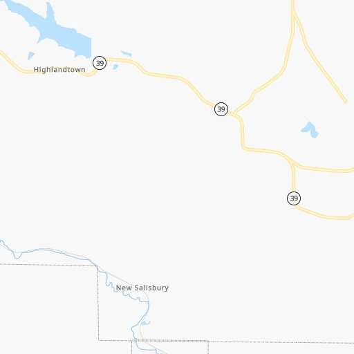
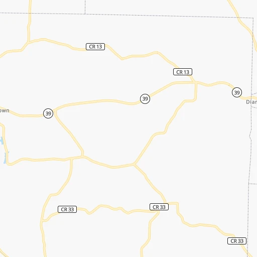
Roadmap (route) to go from Johnston Airport to Marion detailed above, you can also see the course layout on the map.
While doing trip Johnston (airport) - Marion by car, the calculated route ends at a distance , or more straight.
Distance and duration of the route between Johnston (airport) and Marion
Calculation of distance and route from Marion to Johnston (airport) :
208.6236.7 km3h11mn
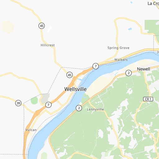
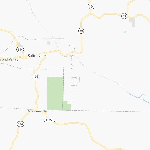
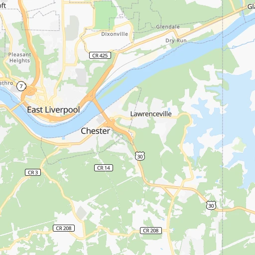
Continue 0h1mn 252 mTurn right onto Hillcrest Road 0h10mn 9.7 kmTurn left onto Old State Route 45 0h1mn 819 mTurn left onto SR 518 0h9mn 9.2 kmTurn left onto SR 164, SR 518 0h1mn 626 mKeep right onto SR 518 0h2mn 2.5 kmTurn left onto SR 518 0h5mn 4.6 kmTurn right onto SR 644 0h8mn 7.9 kmContinue onto US 30 0h26mn 31.4 kmTurn right onto Cedar Street South 0h0mn 237 mTurn left onto Nassau Street 0h3mn 3.1 kmTurn left onto Trump Avenue Southeast 0h0mn 497 mTurn right onto US 30 and take US 30 West toward Massillon 1h15mn 109.3 kmKeep right onto SR 309 0h17mn 19.5 kmTurn left onto North East Street 0h0mn 450 mTurn right onto Harding Way East 0h2mn 2.0 kmTurn left onto Portland Way South 1h31mn 34.7 kmArrive at destination 0h0mn 0 m
Travel from Johnston (airport) (Ohio) to a selection of major cities.
Distances from Johnston Airport to biggest cities in Ohio
- Mansfield,46,830 inhabitants.157 km
- Beavercreek,46,277 inhabitants.307 km
- Dublin,45,098 inhabitants.217 km
- Cleveland Heights,44,962 inhabitants.124 km
- Strongsville,44,668 inhabitants.125 km
- Fairfield,42,767 inhabitants.362 km
- Findlay,41,149 inhabitants.256 km
- Warren,40,245 inhabitants.69 km
- Lancaster,39,766 inhabitants.194 km
- Grove City,39,388 inhabitants.223 km
- Westerville,38,384 inhabitants.201 km
- Huber Heights,38,176 inhabitants.308 km
- Delaware,37,995 inhabitants.208 km
- Lima,37,873 inhabitants.291 km
- Reynoldsburg,37,158 inhabitants.198 km
- Marion,36,363 inhabitants.209 km
- Boardman,35,376 inhabitants.43 km
- Upper Arlington,34,907 inhabitants.216 km
- Stow,34,797 inhabitants.88 km
- Brunswick,34,689 inhabitants.120 km
Other major cities in country :
- Seattle [WA], 684,451 inhabitants. 3,376 km
- Denver [CO], 682,545 inhabitants. 2,065 km
- El Paso [TX], 681,124 inhabitants. 2,510 km
- Detroit [MI], 677,116 inhabitants. 275 km
- Boston [MA], 667,137 inhabitants. 822 km
- Memphis [TN], 655,770 inhabitants. 1,025 km
- New South Memphis [TN], 641,608 inhabitants. 1,030 km
- Portland [OR], 632,309 inhabitants. 3,420 km
- Oklahoma City [OK], 631,346 inhabitants. 1,583 km
- Las Vegas [NV], 623,747 inhabitants. 3,029 km
- Baltimore [MD], 621,849 inhabitants. 376 km
- Washington, D.C. [DC], 601,723 inhabitants. 365 km
- Milwaukee [WI], 600,155 inhabitants. 658 km
- South Boston [MA], 571,281 inhabitants. 823 km
- Albuquerque [NM], 559,121 inhabitants. 2,357 km
- Tucson [AZ], 531,641 inhabitants. 2,852 km
- Nashville [TN], 530,852 inhabitants. 730 km
- Fresno [CA], 520,052 inhabitants. 3,398 km
- Sacramento [CA], 490,712 inhabitants. 3,478 km
- Kansas City [MO], 475,378 inhabitants. 1,200 km
Route from Marion to major cities (United States).
- Distance Marion New York City770 km
- Distance Marion Los Angeles3,170 km
- Distance Marion Chicago404 km
- Distance Marion Brooklyn775 km
- Distance Marion Houston1,637 km
- Distance Marion Queens785 km
- Distance Marion Philadelphia680 km
- Distance Marion Phoenix2,679 km
- Distance Marion Manhattan773 km
- Distance Marion San Antonio1,868 km
- Distance Marion San Diego3,142 km
- Distance Marion The Bronx782 km
- Distance Marion Dallas1,496 km
- Distance Marion San Jose3,348 km
- Distance Marion Austin1,750 km
- Distance Marion Jacksonville1,149 km
- Distance Marion San Francisco3,377 km
- Distance Marion Fort Worth1,537 km
- Distance Marion Indianapolis273 km
- Distance Marion Charlotte630 km
Nearest cities to Johnston (airport) :
- Columbus, 850,106 inhabitants. 212 km
- Detroit, 677,116 inhabitants. 275 km
- Cleveland, 388,072 inhabitants. 130 km
- Pittsburgh, 304,391 inhabitants. 60 km
- Meads, 288,649 inhabitants. 304 km
- Ironville, 288,649 inhabitants. 299 km
- Toledo, 279,789 inhabitants. 269 km
- Buffalo, 258,071 inhabitants. 291 km
- Akron, 197,542 inhabitants. 88 km
- Warren, 134,056 inhabitants. 285 km
- Sterling Heights, 132,052 inhabitants. 293 km
- Amherst, 122,366 inhabitants. 303 km
- Clinton Township, 99,753 inhabitants. 288 km
- Erie, 99,475 inhabitants. 173 km
- Dearborn, 95,171 inhabitants. 282 km
- Livonia, 94,635 inhabitants. 296 km
- Canton, 86,825 inhabitants. 300 km
- Troy, 83,280 inhabitants. 302 km
- Westland, 82,000 inhabitants. 296 km
- Farmington Hills, 81,330 inhabitants. 306 km
- Parma, 79,937 inhabitants. 124 km
- Waterford, 75,737 inhabitants. 324 km
- Cheektowaga, 75,178 inhabitants. 298 km
- Shelby, 74,099 inhabitants. 301 km
- Rochester Hills, 73,424 inhabitants. 306 km
- Southfield, 73,156 inhabitants. 296 km
- Canton, 71,885 inhabitants. 64 km
- West Bloomfield Township, 64,690 inhabitants. 313 km
- Youngstown, 64,628 inhabitants. 52 km
- Lorain, 63,647 inhabitants. 157 km
- Taylor, 61,568 inhabitants. 282 km
- Pontiac, 59,917 inhabitants. 313 km
- Saint Clair Shores, 59,715 inhabitants. 278 km
- Royal Oak, 59,008 inhabitants. 293 km
- Novi, 58,723 inhabitants. 312 km
- Dearborn Heights, 56,145 inhabitants. 289 km
- Elyria, 53,775 inhabitants. 147 km
- Harrisonburg, 52,538 inhabitants. 288 km
- Lakewood, 50,656 inhabitants. 134 km
- Redford, 49,936 inhabitants. 294 km
- Charleston, 49,736 inhabitants. 268 km
- Cuyahoga Falls, 49,146 inhabitants. 89 km
- Niagara Falls, 48,916 inhabitants. 304 km
- Huntington, 48,638 inhabitants. 290 km
- Newark, 47,986 inhabitants. 161 km
- Euclid, 47,676 inhabitants. 129 km
- Roseville, 47,637 inhabitants. 281 km
- Mentor, 46,901 inhabitants. 128 km
- Mansfield, 46,830 inhabitants. 157 km
- Charlottesville, 46,597 inhabitants. 345 km
Location Johnston (airport) (Ohio) :
| Country flag |  |
| Location | Johnston (airport) |
| State | Ohio |
| County | Columbiana County |
| Country | United States |
| Country code / ISO 2 | US |
| Latitude | 40.6342300 |
| Longitude | -80.6567400 |
| Altitude | 367 meters |
| Time zone | America/New_York |
Location Marion (Ohio) :
| Country flag | |
| Location | Marion |
| State | Ohio |
| County | Marion County |
| Country | United States |
| Country code / ISO 2 | US |
| Latitude | 40.5886700 |
| Longitude | -83.1285200 |
| Altitude | 299 meters |
| Time zone | America/New_York |

