
How to get from Cedar Creek (airport) (Ohio) to Lorain (Ohio)
Calculate route from Cedar Creek (airport) (Ohio, United States) to Lorain (Ohio, United States).
The flight distance (as the crow flies) between Cedar Creek (airport) and Lorain is 99.6 km.
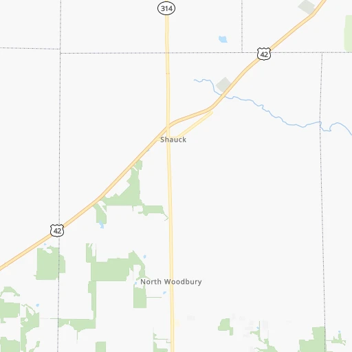
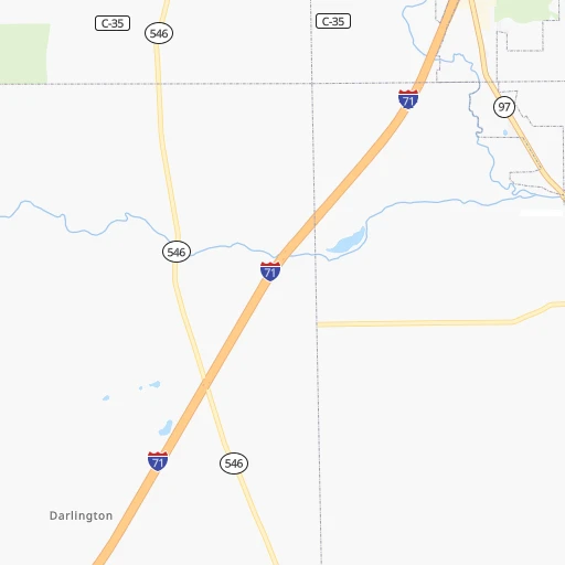
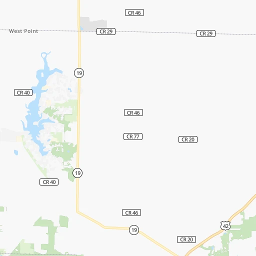
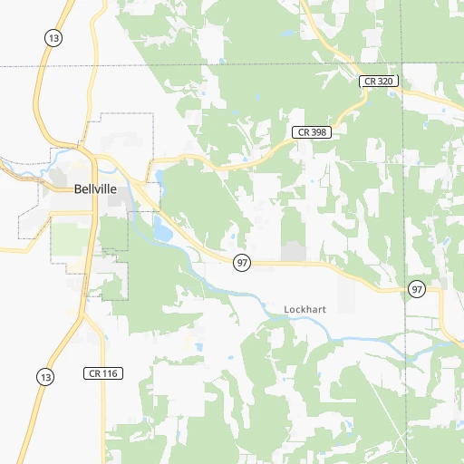
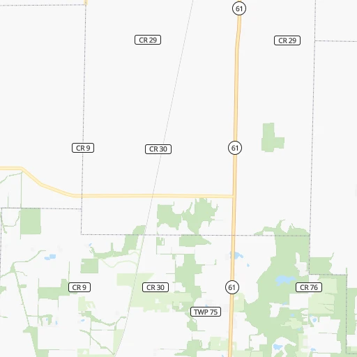
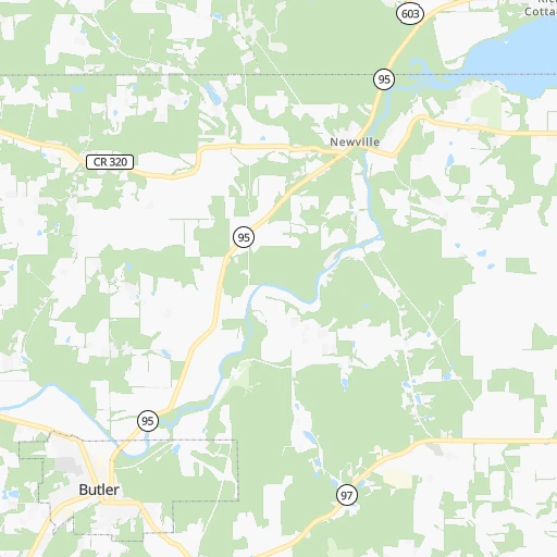
Roadmap (route) to go from Cedar Creek Airport to Lorain detailed above, you can also see the course layout on the map.
While doing trip Cedar Creek (airport) - Lorain by car, the calculated route ends at a distance , or more straight.
Distance and duration of the route between Cedar Creek (airport) and Lorain
Calculation of distance and route from Lorain to Cedar Creek (airport) :
99.6110.9 km2h44mn
Continue onto West Point-Bellville Road 0h3mn 1.3 kmTurn sharp right onto US 42 0h7mn 7.8 kmTurn slight right onto West Main Street 0h11mn 10.6 kmTurn slight left onto South Main Street 0h0mn 378 mTurn right onto East 1st Street 0h0mn 329 mTurn left onto South Adams Street 0h0mn 269 mTurn right onto Park Avenue East 0h1mn 616 mContinue onto Ashland Road 0h14mn 15.9 kmKeep left onto Claremont Avenue 0h4mn 4.3 kmTurn right onto West Main Street 0h0mn 178 mTurn left onto Orange Street 0h1mn 828 mKeep right onto Orange Road 1h56mn 63.2 kmTurn slight right onto Leavitt Road 0h1mn 1.3 kmTurn right onto Tower Boulevard 0h2mn 1.6 kmTurn left onto Oberlin Avenue 0h2mn 1.9 kmTurn right onto West 21st Street 0h0mn 241 mTurn left onto Hamilton Avenue 0h0mn 220 mArrive at destination 0h0mn 0 m
Travel from Cedar Creek (airport) (Ohio) to a selection of major cities.
Distances from Cedar Creek Airport to biggest cities in Ohio
- Mansfield,46,830 inhabitants.18 km
- Beavercreek,46,277 inhabitants.158 km
- Dublin,45,098 inhabitants.71 km
- Cleveland Heights,44,962 inhabitants.135 km
- Strongsville,44,668 inhabitants.102 km
- Fairfield,42,767 inhabitants.217 km
- Findlay,41,149 inhabitants.97 km
- Warren,40,245 inhabitants.167 km
- Lancaster,39,766 inhabitants.101 km
- Grove City,39,388 inhabitants.91 km
- Westerville,38,384 inhabitants.61 km
- Huber Heights,38,176 inhabitants.153 km
- Delaware,37,995 inhabitants.52 km
- Lima,37,873 inhabitants.125 km
- Reynoldsburg,37,158 inhabitants.76 km
- Marion,36,363 inhabitants.42 km
- Boardman,35,376 inhabitants.172 km
- Upper Arlington,34,907 inhabitants.79 km
- Stow,34,797 inhabitants.117 km
- Brunswick,34,689 inhabitants.96 km
Other major cities in country :
- Seattle [WA], 684,451 inhabitants. 3,229 km
- Denver [CO], 682,545 inhabitants. 1,898 km
- El Paso [TX], 681,124 inhabitants. 2,349 km
- Detroit [MI], 677,116 inhabitants. 193 km
- Boston [MA], 667,137 inhabitants. 984 km
- Memphis [TN], 655,770 inhabitants. 891 km
- New South Memphis [TN], 641,608 inhabitants. 897 km
- Portland [OR], 632,309 inhabitants. 3,267 km
- Oklahoma City [OK], 631,346 inhabitants. 1,423 km
- Las Vegas [NV], 623,747 inhabitants. 2,862 km
- Baltimore [MD], 621,849 inhabitants. 535 km
- Washington, D.C. [DC], 601,723 inhabitants. 516 km
- Milwaukee [WI], 600,155 inhabitants. 513 km
- South Boston [MA], 571,281 inhabitants. 984 km
- Albuquerque [NM], 559,121 inhabitants. 2,191 km
- Tucson [AZ], 531,641 inhabitants. 2,687 km
- Nashville [TN], 530,852 inhabitants. 614 km
- Fresno [CA], 520,052 inhabitants. 3,231 km
- Sacramento [CA], 490,712 inhabitants. 3,314 km
- Kansas City [MO], 475,378 inhabitants. 1,034 km
Route from Lorain to major cities (United States).
- Distance Lorain New York City691 km
- Distance Lorain Los Angeles3,254 km
- Distance Lorain Chicago457 km
- Distance Lorain Brooklyn697 km
- Distance Lorain Houston1,761 km
- Distance Lorain Queens705 km
- Distance Lorain Philadelphia615 km
- Distance Lorain Phoenix2,772 km
- Distance Lorain Manhattan693 km
- Distance Lorain San Antonio1,989 km
- Distance Lorain San Diego3,230 km
- Distance Lorain The Bronx700 km
- Distance Lorain Dallas1,614 km
- Distance Lorain San Jose3,417 km
- Distance Lorain Austin1,871 km
- Distance Lorain Jacksonville1,239 km
- Distance Lorain San Francisco3,444 km
- Distance Lorain Fort Worth1,655 km
- Distance Lorain Indianapolis385 km
- Distance Lorain Charlotte703 km
Nearest cities to Cedar Creek (airport) :
- Columbus, 850,106 inhabitants. 80 km
- Detroit, 677,116 inhabitants. 193 km
- Cleveland, 388,072 inhabitants. 125 km
- Lexington-Fayette, 314,488 inhabitants. 327 km
- Pittsburgh, 304,391 inhabitants. 224 km
- Cincinnati, 296,943 inhabitants. 231 km
- Meads, 288,649 inhabitants. 246 km
- Ironville, 288,649 inhabitants. 241 km
- Toledo, 279,789 inhabitants. 139 km
- Fort Wayne, 260,326 inhabitants. 217 km
- Lexington, 225,366 inhabitants. 334 km
- Akron, 197,542 inhabitants. 107 km
- Dayton, 140,599 inhabitants. 164 km
- Warren, 134,056 inhabitants. 210 km
- Sterling Heights, 132,052 inhabitants. 220 km
- Ann Arbor, 117,070 inhabitants. 206 km
- Lansing, 115,056 inhabitants. 284 km
- Clinton Township, 99,753 inhabitants. 220 km
- Erie, 99,475 inhabitants. 271 km
- Flint, 98,310 inhabitants. 280 km
- Dearborn, 95,171 inhabitants. 194 km
- Livonia, 94,635 inhabitants. 203 km
- Canton, 86,825 inhabitants. 200 km
- Troy, 83,280 inhabitants. 225 km
- Westland, 82,000 inhabitants. 200 km
- Farmington Hills, 81,330 inhabitants. 216 km
- Parma, 79,937 inhabitants. 116 km
- Kalamazoo, 76,041 inhabitants. 308 km
- Waterford, 75,737 inhabitants. 239 km
- Shelby, 74,099 inhabitants. 230 km
- Rochester Hills, 73,424 inhabitants. 230 km
- Southfield, 73,156 inhabitants. 212 km
- Canton, 71,885 inhabitants. 108 km
- Muncie, 70,087 inhabitants. 238 km
- West Bloomfield Township, 64,690 inhabitants. 225 km
- Youngstown, 64,628 inhabitants. 175 km
- Lorain, 63,647 inhabitants. 100 km
- Hamilton, 62,407 inhabitants. 213 km
- Taylor, 61,568 inhabitants. 188 km
- Pontiac, 59,917 inhabitants. 231 km
- Saint Clair Shores, 59,715 inhabitants. 210 km
- Springfield, 59,680 inhabitants. 126 km
- Royal Oak, 59,008 inhabitants. 212 km
- Novi, 58,723 inhabitants. 218 km
- Dearborn Heights, 56,145 inhabitants. 198 km
- Kettering, 55,525 inhabitants. 167 km
- Elyria, 53,775 inhabitants. 94 km
- Battle Creek, 51,589 inhabitants. 284 km
- Lakewood, 50,656 inhabitants. 119 km
- Redford, 49,936 inhabitants. 203 km
Location Cedar Creek (airport) (Ohio) :
| Country flag |  |
| Location | Cedar Creek (airport) |
| State | Ohio |
| County | Morrow County |
| Country | United States |
| Country code / ISO 2 | US |
| Latitude | 40.6242600 |
| Longitude | -82.6357300 |
| Altitude | 369 meters |
| Time zone | America/New_York |
Location Lorain (Ohio) :
| Country flag | |
| Location | Lorain |
| State | Ohio |
| County | Lorain County |
| Country | United States |
| Country code / ISO 2 | US |
| Latitude | 41.4528200 |
| Longitude | -82.1823700 |
| Altitude | 186 meters |
| Time zone | America/New_York |


