
How to get from Bucks (airport) (Ohio) to Ironville (Kentucky)
Calculate route from Bucks (airport) (Ohio, United States) to Ironville (Kentucky, United States).
The flight distance (as the crow flies) between Bucks (airport) and Ironville is 354.9 km.
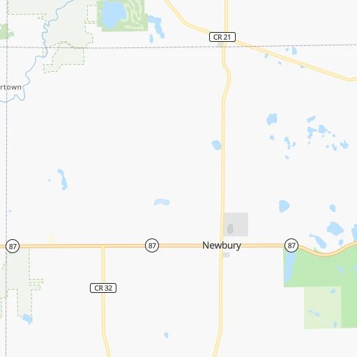
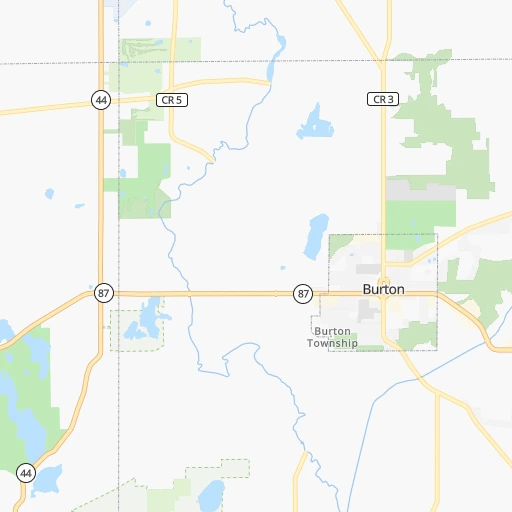
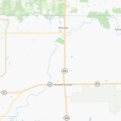
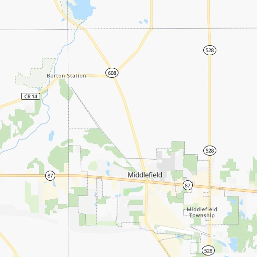
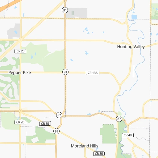
Roadmap (route) to go from Bucks Airport to Ironville detailed above, you can also see the course layout on the map.
While doing trip Bucks (airport) - Ironville by car, the calculated route ends at a distance , or more straight.
Distance and duration of the route between Bucks (airport) and Ironville
Calculation of distance and route from Ironville to Bucks (airport) :
354.9444.6 km5h5mn
Continue onto Music Street 0h9mn 10.4 kmTurn slight left onto Hemlock Road 0h2mn 2.1 kmTurn right onto Bell Street 0h1mn 500 mContinue onto Bell Street 0h1mn 722 mTurn left onto North Main Street 0h0mn 33 mKeep right onto North Franklin Street 0h0mn 386 mTurn right onto Maple Street 0h1mn 483 mContinue onto Solon Road 0h3mn 2.7 kmTurn right onto Cannon Road 0h6mn 5.9 kmTurn left onto Cannon Road 0h1mn 1.3 kmKeep left onto Rockside Road 0h1mn 781 mTurn left toward I 271 South, I 480 East 2h11mn 219.5 kmKeep right and take I 670 East, I 670 West toward Airport, Dayton 0h0mn 516 mKeep right and take I 670 West toward Dayton 0h1mn 833 mKeep left onto Northeast Freeway toward US 23 South 0h1mn 1.4 kmTurn right onto East Spring Street 0h0mn 230 mTurn left onto North High Street 1h57mn 74.0 kmKeep right onto US 23 1h38mn 50.7 kmKeep right and take SR 823 South toward Ironton 1h35mn 58.9 kmKeep right 0h0mn 162 mAt roundabout, take exit 1 onto Park Avenue 0h1mn 790 mTurn left onto South 3rd Street 0h1mn 427 mTurn right onto Jefferson Street 0h0mn 60 mTurn left onto Oakley C Collins Memorial Bridge toward US 23 0h1mn 1.1 kmTurn left onto US Highway 23 and take US 23 South toward Ashland 0h1mn 1.0 kmTurn right onto Ashland Drive 0h1mn 1.5 kmTurn right onto Diederich Boulevard 0h0mn 199 mTurn sharp left onto Saint Christopher Drive 0h2mn 2.1 kmTurn right onto Bellefonte Princess Road 0h5mn 4.6 kmTurn sharp left onto West Donta Road 0h1mn 1.1 kmTurn sharp left onto Pine Street 0h0mn 48 mTurn right onto Brett Street 0h1mn 276 mArrive at destination 0h0mn 0 m
Travel from Bucks (airport) (Kentucky) to a selection of major cities.
Distances from Bucks Airport to biggest cities in Ohio
- Mansfield,46,830 inhabitants.132 km
- Beavercreek,46,277 inhabitants.308 km
- Dublin,45,098 inhabitants.218 km
- Cleveland Heights,44,962 inhabitants.28 km
- Strongsville,44,668 inhabitants.52 km
- Fairfield,42,767 inhabitants.366 km
- Findlay,41,149 inhabitants.207 km
- Warren,40,245 inhabitants.42 km
- Lancaster,39,766 inhabitants.225 km
- Grove City,39,388 inhabitants.235 km
- Westerville,38,384 inhabitants.205 km
- Huber Heights,38,176 inhabitants.302 km
- Delaware,37,995 inhabitants.200 km
- Lima,37,873 inhabitants.253 km
- Reynoldsburg,37,158 inhabitants.213 km
- Marion,36,363 inhabitants.186 km
- Boardman,35,376 inhabitants.67 km
- Upper Arlington,34,907 inhabitants.224 km
- Stow,34,797 inhabitants.36 km
- Brunswick,34,689 inhabitants.56 km
Other major cities in country :
- Seattle [WA], 684,451 inhabitants. 3,292 km
- Denver [CO], 682,545 inhabitants. 2,010 km
- El Paso [TX], 681,124 inhabitants. 2,489 km
- Detroit [MI], 677,116 inhabitants. 179 km
- Boston [MA], 667,137 inhabitants. 849 km
- Memphis [TN], 655,770 inhabitants. 1,040 km
- New South Memphis [TN], 641,608 inhabitants. 1,046 km
- Portland [OR], 632,309 inhabitants. 3,340 km
- Oklahoma City [OK], 631,346 inhabitants. 1,564 km
- Las Vegas [NV], 623,747 inhabitants. 2,979 km
- Baltimore [MD], 621,849 inhabitants. 460 km
- Washington, D.C. [DC], 601,723 inhabitants. 456 km
- Milwaukee [WI], 600,155 inhabitants. 577 km
- South Boston [MA], 571,281 inhabitants. 849 km
- Albuquerque [NM], 559,121 inhabitants. 2,322 km
- Tucson [AZ], 531,641 inhabitants. 2,821 km
- Nashville [TN], 530,852 inhabitants. 760 km
- Fresno [CA], 520,052 inhabitants. 3,342 km
- Sacramento [CA], 490,712 inhabitants. 3,416 km
- Kansas City [MO], 475,378 inhabitants. 1,162 km
Route from Ironville to major cities (United States).
- Distance Ironville New York City786 km
- Distance Ironville Los Angeles3,209 km
- Distance Ironville Chicago566 km
- Distance Ironville Brooklyn789 km
- Distance Ironville Houston1,514 km
- Distance Ironville Queens799 km
- Distance Ironville Philadelphia670 km
- Distance Ironville Phoenix2,694 km
- Distance Ironville Manhattan791 km
- Distance Ironville San Antonio1,768 km
- Distance Ironville San Diego3,166 km
- Distance Ironville The Bronx802 km
- Distance Ironville Dallas1,423 km
- Distance Ironville San Jose3,420 km
- Distance Ironville Austin1,653 km
- Distance Ironville Jacksonville909 km
- Distance Ironville San Francisco3,453 km
- Distance Ironville Columbus170 km
- Distance Ironville Fort Worth1,468 km
- Distance Ironville Indianapolis333 km
Nearest cities to Bucks (airport) :
- Columbus, 850,106 inhabitants. 223 km
- Detroit, 677,116 inhabitants. 179 km
- Cleveland, 388,072 inhabitants. 39 km
- Pittsburgh, 304,391 inhabitants. 153 km
- Ironville, 288,649 inhabitants. 356 km
- Toledo, 279,789 inhabitants. 195 km
- Buffalo, 258,071 inhabitants. 252 km
- Akron, 197,542 inhabitants. 47 km
- Dayton, 140,599 inhabitants. 313 km
- Warren, 134,056 inhabitants. 187 km
- Sterling Heights, 132,052 inhabitants. 195 km
- Amherst, 122,366 inhabitants. 263 km
- Ann Arbor, 117,070 inhabitants. 227 km
- Clinton Township, 99,753 inhabitants. 188 km
- Erie, 99,475 inhabitants. 122 km
- Flint, 98,310 inhabitants. 267 km
- Dearborn, 95,171 inhabitants. 188 km
- Livonia, 94,635 inhabitants. 203 km
- Canton, 86,825 inhabitants. 209 km
- Troy, 83,280 inhabitants. 204 km
- Westland, 82,000 inhabitants. 204 km
- Farmington Hills, 81,330 inhabitants. 212 km
- Parma, 79,937 inhabitants. 41 km
- Waterford, 75,737 inhabitants. 227 km
- Cheektowaga, 75,178 inhabitants. 261 km
- Shelby, 74,099 inhabitants. 202 km
- Rochester Hills, 73,424 inhabitants. 208 km
- Southfield, 73,156 inhabitants. 200 km
- Canton, 71,885 inhabitants. 73 km
- West Bloomfield Township, 64,690 inhabitants. 217 km
- Youngstown, 64,628 inhabitants. 62 km
- Lorain, 63,647 inhabitants. 79 km
- Taylor, 61,568 inhabitants. 190 km
- Pontiac, 59,917 inhabitants. 216 km
- Saint Clair Shores, 59,715 inhabitants. 180 km
- Springfield, 59,680 inhabitants. 276 km
- Royal Oak, 59,008 inhabitants. 196 km
- Novi, 58,723 inhabitants. 218 km
- Dearborn Heights, 56,145 inhabitants. 196 km
- Kettering, 55,525 inhabitants. 316 km
- Elyria, 53,775 inhabitants. 73 km
- Harrisonburg, 52,538 inhabitants. 390 km
- Lakewood, 50,656 inhabitants. 47 km
- Redford, 49,936 inhabitants. 200 km
- Saginaw, 49,347 inhabitants. 313 km
- Cuyahoga Falls, 49,146 inhabitants. 41 km
- Niagara Falls, 48,916 inhabitants. 256 km
- Newark, 47,986 inhabitants. 183 km
- Euclid, 47,676 inhabitants. 29 km
- Roseville, 47,637 inhabitants. 183 km
Location Bucks (airport) (Ohio) :
| Country flag |  |
| Location | Bucks (airport) |
| State | Ohio |
| County | Geauga County |
| Country | United States |
| Country code / ISO 2 | US |
| Latitude | 41.4482000 |
| Longitude | -81.2344200 |
| Altitude | 370 meters |
| Time zone | America/New_York |
Location Ironville (Kentucky) :
| Country flag | |
| Location | Ironville |
| State | Kentucky |
| County | Boyd County |
| Country | United States |
| Country code / ISO 2 | US |
| Latitude | 38.4564700 |
| Longitude | -82.6923800 |
| Altitude | 219 meters |
| Time zone | America/New_York |


