
How to get from Catskill Valley Airpark (New York) to Oklahoma City (Oklahoma)
Calculate route from Catskill Valley Airpark (New York, United States) to Oklahoma City (Oklahoma, United States).
The flight distance (as the crow flies) between Catskill Valley Airpark and Oklahoma City is 2,165.9 km.
Roadmap (route) to go from Catskill Valley Airpark to Oklahoma City detailed above, you can also see the course layout on the map.
While doing trip Catskill Valley Airpark - Oklahoma City by car, the calculated route ends at a distance , or more straight.
Distance and duration of the route between Catskill Valley Airpark and Oklahoma City
Calculation of distance and route from Oklahoma City to Catskill Valley Airpark :
2,165.92,448.2 km25h24mn
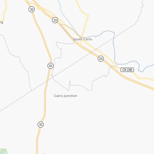
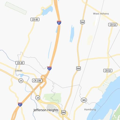
Continue onto Garcia Lane 0h1mn 597 mTurn sharp left onto Sandy Plains Road 0h1mn 482 mTurn left onto County Road 23B 0h0mn 108 mTurn right onto Rossruland Road 0h5mn 2.5 kmTurn left onto State Highway 32 0h17mn 21.5 kmTurn left 0h10mn 15.9 kmKeep right and take NY 28 toward Kingston, Rhinecliff Bridge 0h1mn 1.2 kmKeep right 0h1mn 940 mKeep right 0h1mn 1.1 kmContinue onto Clayton 'Peg Leg' Bates Highway 1h16mn 90.2 kmTurn right onto East Main Street 0h0mn 403 mTurn left onto Pike Street 0h4mn 2.6 kmTurn left onto Stella Street 1h54mn 83.8 kmKeep right 0h1mn 616 mTurn left onto Tigue Street 0h0mn 372 mTurn right onto East Drinker Street 0h1mn 1.1 kmTurn left 1h38mn 57.4 kmKeep right and take I-80 West toward Bloomsburg 4h20mn 438.0 kmKeep right onto I 80 1h42mn 68.7 kmKeep right toward SR 59 East 0h2mn 1.8 kmTurn left onto East Avenue 0h3mn 3.4 kmTurn right toward I 76 West, US 224 West 0h18mn 27.3 kmKeep right and take I 71 South toward Columbus 1h26mn 145.5 kmKeep right toward I 270 West 0h9mn 13.4 kmKeep right and take US 33 West, SR 161 West toward Marysville, Avery-Muirfield Drive 0h1mn 627 mKeep right and drive toward Avery-Muirfield Drive 0h1mn 1.3 kmKeep left 0h2mn 3.0 kmKeep right onto SR 161 and take SR 161 toward Post Road, Plain City 0h0mn 424 mTurn left onto Post Road 0h0mn 352 mAt roundabout, take exit 1 onto Dublin-Plain City Road 0h0mn 388 mAt roundabout, take exit 2 onto Dublin-Plain City Road 0h0mn 409 mAt roundabout, take exit 2 onto Dublin-Plain City Road 0h3mn 3.5 kmTurn left onto Cemetery Pike 0h2mn 2.1 kmTurn right onto Cemetery Pike 0h3mn 2.9 kmTurn left onto London – Delaware Road 0h13mn 17.2 kmTurn right 3h31mn 248.0 kmKeep right onto I 70 and take I 70 toward St Louis, Indianapolis International Airport 2h22mn 232.1 kmKeep right onto I 70 and take I 70 West toward Saint Louis 1h13mn 123.4 kmKeep left onto I 70 and take I 55 South, I 70 West toward Saint Louis 0h17mn 27.0 kmKeep left onto I 55, US 40 and take I 55 South, I 64, IL 3, US 40 West toward Louisville, Saint Louis 0h2mn 2.8 kmKeep right onto I 55, IL 3 and take IL 3 South toward Cahokia 0h2mn 2.6 kmKeep right onto I 55 and take I 44 West, I 55 South, I 44 East toward Tulsa, Memphis, Kansas City, Walnut Street 0h2mn 2.1 kmKeep right onto Officer David Haynes Memorial Highway 6h59mn 607.7 kmKeep right onto I 44 and take I 44 West, US 412 West, OK 66 West toward Tulsa 0h5mn 8.2 kmKeep left onto Skelly Bypass and take I 44 West, OK 66 West toward Sapulpa, Oklahoma City 0h14mn 20.3 kmKeep left onto Skelly Bypass 0h1mn 2.1 kmKeep left onto Skelly Bypass 1h18mn 140.9 kmKeep left onto I 44 and take I 35 South, I 44 West, OK 66 West toward Dallas, Lawton 0h5mn 7.4 kmKeep left onto World War II Veterans Memorial Highway and take I 35 South toward Dallas 0h5mn 6.6 kmKeep right and drive toward Northeast 10th Street 0h0mn 163 mTurn slight left onto Northeast Grand Boulevard 0h0mn 419 mTurn right onto Northeast 10th Street 0h4mn 4.0 kmKeep left onto Harrison Avenue 0h1mn 355 mTurn right onto Northwest 4th Street 0h0mn 216 mTurn left onto North Broadway Avenue 0h0mn 42 mKeep right onto North Broadway Avenue 0h1mn 423 mTurn right onto West Main Street 0h0mn 175 mTurn slight left onto North Robinson Avenue 0h0mn 78 mMake a U-turn onto North Robinson Avenue 0h0mn 71 mArrive at destination 0h0mn 0 m
Travel from Catskill Valley Airpark (Oklahoma) to a selection of major cities.
Distances from Catskill Valley Airpark to biggest cities in New York
- East Harlem,115,921 inhabitants.165 km
- Elmhurst,113,364 inhabitants.172 km
- Bushwick,112,620 inhabitants.176 km
- Gravesend,112,229 inhabitants.187 km
- Corona,109,698 inhabitants.171 km
- Richmond Hill,98,984 inhabitants.176 km
- Albany,98,469 inhabitants.45 km
- Fordham,94,678 inhabitants.158 km
- West Albany,93,794 inhabitants.47 km
- Flatbush,93,361 inhabitants.181 km
- Canarsie,87,366 inhabitants.182 km
- Greenburgh,86,764 inhabitants.139 km
- New Rochelle,79,846 inhabitants.153 km
- Cheektowaga,75,178 inhabitants.400 km
- Kings Bridge,75,132 inhabitants.156 km
- Brownsville,74,497 inhabitants.180 km
- Ridgewood,69,317 inhabitants.176 km
- Mount Vernon,68,628 inhabitants.152 km
- Forest Hills,67,714 inhabitants.174 km
- Jackson Heights,67,067 inhabitants.170 km
Other major cities in country :
- Boston [MA], 667,137 inhabitants. 238 km
- Memphis [TN], 655,770 inhabitants. 1,604 km
- New South Memphis [TN], 641,608 inhabitants. 1,608 km
- Portland [OR], 632,309 inhabitants. 3,864 km
- Oklahoma City [OK], 631,346 inhabitants. 2,170 km
- Las Vegas [NV], 623,747 inhabitants. 3,580 km
- Baltimore [MD], 621,849 inhabitants. 401 km
- Washington, D.C. [DC], 601,723 inhabitants. 458 km
- Milwaukee [WI], 600,155 inhabitants. 1,144 km
- South Boston [MA], 571,281 inhabitants. 239 km
- Albuquerque [NM], 559,121 inhabitants. 2,932 km
- Tucson [AZ], 531,641 inhabitants. 3,431 km
- Nashville [TN], 530,852 inhabitants. 1,297 km
- Fresno [CA], 520,052 inhabitants. 3,935 km
- Sacramento [CA], 490,712 inhabitants. 3,997 km
- Kansas City [MO], 475,378 inhabitants. 1,772 km
- Long Beach [CA], 474,140 inhabitants. 3,947 km
- Mesa [AZ], 471,825 inhabitants. 3,440 km
- Atlanta [GA], 463,878 inhabitants. 1,317 km
- Colorado Springs [CO], 456,568 inhabitants. 2,624 km
Route from Oklahoma City to major cities (United States).
- Distance Oklahoma City New York City2,134 km
- Distance Oklahoma City Los Angeles1,899 km
- Distance Oklahoma City Chicago1,112 km
- Distance Oklahoma City Brooklyn2,137 km
- Distance Oklahoma City Houston666 km
- Distance Oklahoma City Queens2,147 km
- Distance Oklahoma City Philadelphia2,025 km
- Distance Oklahoma City Phoenix1,354 km
- Distance Oklahoma City Manhattan2,138 km
- Distance Oklahoma City San Antonio679 km
- Distance Oklahoma City San Diego1,834 km
- Distance Oklahoma City The Bronx2,148 km
- Distance Oklahoma City Dallas306 km
- Distance Oklahoma City San Jose2,188 km
- Distance Oklahoma City Austin579 km
- Distance Oklahoma City Jacksonville1,586 km
- Distance Oklahoma City San Francisco2,233 km
- Distance Oklahoma City Columbus1,371 km
- Distance Oklahoma City Fort Worth306 km
- Distance Oklahoma City Indianapolis1,109 km
Nearest cities to Catskill Valley Airpark :
- New York City, 8,175,133 inhabitants. 174 km
- Brooklyn, 2,300,664 inhabitants. 181 km
- Queens, 2,272,771 inhabitants. 178 km
- Philadelphia, 1,567,442 inhabitants. 278 km
- Manhattan, 1,487,536 inhabitants. 167 km
- The Bronx, 1,385,108 inhabitants. 159 km
- Boston, 667,137 inhabitants. 238 km
- Baltimore, 621,849 inhabitants. 401 km
- South Boston, 571,281 inhabitants. 239 km
- Staten Island, 468,730 inhabitants. 192 km
- Newark, 281,944 inhabitants. 173 km
- Jersey City, 264,290 inhabitants. 173 km
- Jamaica, 216,866 inhabitants. 177 km
- Yonkers, 201,116 inhabitants. 150 km
- Worcester, 184,815 inhabitants. 177 km
- Harlem, 181,259 inhabitants. 164 km
- Providence, 179,207 inhabitants. 216 km
- East Flatbush, 178,464 inhabitants. 181 km
- East New York, 173,198 inhabitants. 180 km
- Springfield, 154,341 inhabitants. 114 km
- Washington Heights, 152,613 inhabitants. 159 km
- Astoria, 150,165 inhabitants. 168 km
- Borough Park, 149,248 inhabitants. 183 km
- Paterson, 147,754 inhabitants. 153 km
- Bridgeport, 147,629 inhabitants. 139 km
- Syracuse, 144,142 inhabitants. 199 km
- New Haven, 130,322 inhabitants. 138 km
- Elizabeth, 129,007 inhabitants. 181 km
- Stamford, 128,874 inhabitants. 141 km
- Sunset Park, 126,000 inhabitants. 182 km
- Hartford, 124,006 inhabitants. 120 km
- Sheepshead Bay, 122,534 inhabitants. 188 km
- North Stamford, 121,230 inhabitants. 132 km
- Allentown, 120,207 inhabitants. 226 km
- East Harlem, 115,921 inhabitants. 165 km
- Elmhurst, 113,364 inhabitants. 172 km
- Bushwick, 112,620 inhabitants. 176 km
- Gravesend, 112,229 inhabitants. 187 km
- Lowell, 110,699 inhabitants. 220 km
- Cambridge, 110,402 inhabitants. 235 km
- Manchester, 110,229 inhabitants. 220 km
- Corona, 109,698 inhabitants. 171 km
- Waterbury, 108,802 inhabitants. 110 km
- Edison, 102,548 inhabitants. 200 km
- Richmond Hill, 98,984 inhabitants. 176 km
- Albany, 98,469 inhabitants. 45 km
- Brockton, 95,314 inhabitants. 243 km
- Fordham, 94,678 inhabitants. 158 km
- West Albany, 93,794 inhabitants. 47 km
- Quincy, 93,618 inhabitants. 243 km
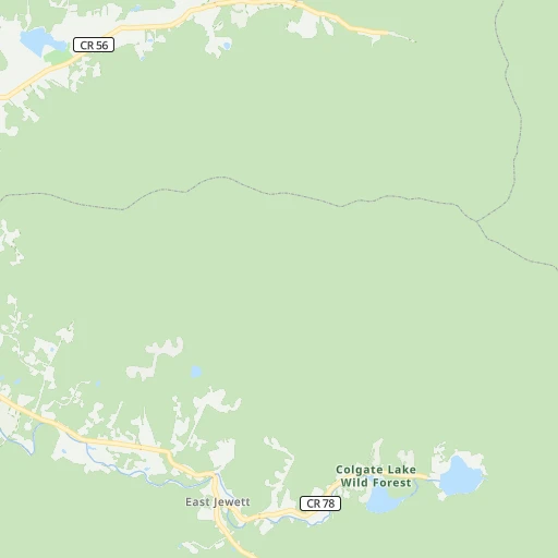
Location Catskill Valley Airpark (New York) :
| Country flag |  |
| Location | Catskill Valley Airpark |
| State | New York |
| County | Greene County |
| Country | United States |
| Country code / ISO 2 | US |
| Latitude | 42.2795500 |
| Longitude | -73.9525900 |
| Altitude | 56 meters |
| Time zone | America/New_York |
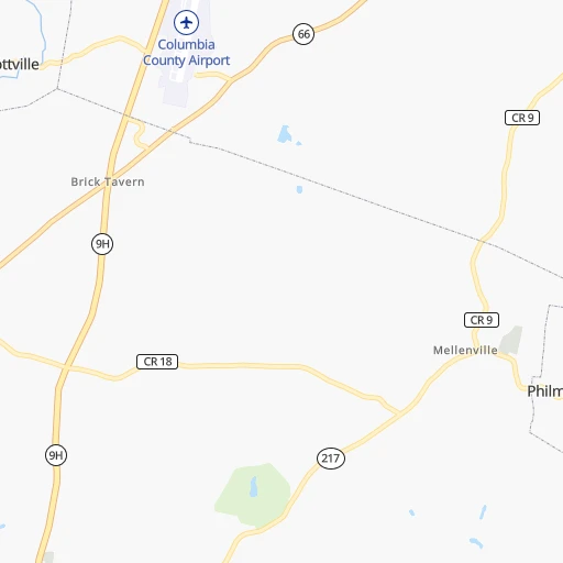
Location Oklahoma City (Oklahoma) :
| Country flag | |
| Location | Oklahoma City |
| State | Oklahoma |
| County | Oklahoma County |
| Country | United States |
| Country code / ISO 2 | US |
| Latitude | 35.4675600 |
| Longitude | -97.5164300 |
| Altitude | 366 meters |
| Time zone | America/Chicago |


