
How to get from Errol (airport) (New Hampshire) to Brockton (Massachusetts)
Calculate route from Errol (airport) (New Hampshire, United States) to Brockton (Massachusetts, United States).
The flight distance (as the crow flies) between Errol (airport) and Brockton is 301.3 km.
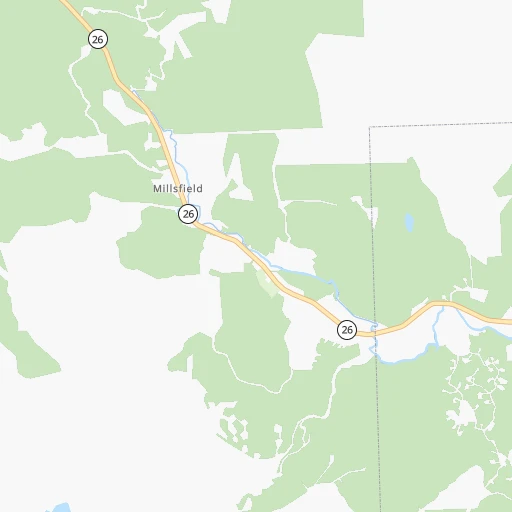
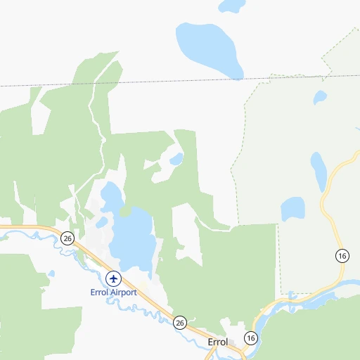
Roadmap (route) to go from Errol Airport to Brockton detailed above, you can also see the course layout on the map.
While doing trip Errol (airport) - Brockton by car, the calculated route ends at a distance , or more straight.
Distance and duration of the route between Errol (airport) and Brockton
Calculation of distance and route from Brockton to Errol (airport) :
301.3361.9 km5h48mn
Continue onto Colebrook Road 1h46mn 51.6 kmTurn right onto Mayville Road 0h8mn 10.0 kmTurn sharp left onto Lovers Lane 0h18mn 20.4 kmTurn sharp left onto Valley Road 0h2mn 1.6 kmKeep right onto Valley Road 0h7mn 7.4 kmTurn right onto Waterford Road 0h4mn 4.2 kmKeep left onto Waterford Road 0h4mn 4.3 kmTurn left onto Main Street 0h0mn 468 mTurn right onto Front Street 0h18mn 17.9 kmTurn left onto Roosevelt Trail 0h24mn 26.2 kmAt roundabout, take exit 2 onto Roosevelt Trail 0h13mn 13.4 kmTurn right onto Riverside Street 0h3mn 2.4 kmTurn left 0h0mn 135 mKeep right 1h57mn 93.0 kmKeep left onto Blue Star Turnpike 0h8mn 12.3 kmKeep left onto I 95 0h24mn 37.1 kmKeep right and take US 1 South toward Boston 0h12mn 13.9 kmKeep right and take MA 60 toward Malden, Revere, Logan Airport 0h0mn 310 mAt roundabout, take exit 2 onto Robert M. Copeland Circle 0h5mn 8.2 kmKeep right and take I 93 North toward Somerville, Charlestown 0h1mn 759 mKeep right and take MA 99 South toward North Station, Government Center 0h2mn 1.2 kmTurn left and take MA 1A North, I 93 South toward Logan Airport, Quincy 0h0mn 59 mKeep right and take I 93 South toward Quincy 0h1mn 1.0 kmKeep right and take I 90 West toward Mass Pike, South Station 0h0mn 184 mKeep left and take I 90 Toll West toward Albany Street 0h1mn 920 mKeep left toward I 93 South 0h10mn 12.6 kmKeep right and drive toward Furnace, Brook Parkway, Quincy 0h1mn 644 mAt roundabout, take exit 3 onto Willard Street 0h10mn 9.8 kmContinue onto South Main Street 0h5mn 4.7 kmContinue onto Memorial Drive 0h5mn 4.8 kmTurn sharp right onto Lincoln Street 0h0mn 101 mTurn sharp right 0h0mn 53 mTurn left 0h0mn 4 mArrive at destination 0h0mn 0 m
Travel from Errol (airport) (Massachusetts) to a selection of major cities.
Distances from Errol Airport to biggest cities in New Hampshire
Other major cities in country :
- Charlotte [NC], 827,097 inhabitants. 1,345 km
- Seattle [WA], 684,451 inhabitants. 3,883 km
- Denver [CO], 682,545 inhabitants. 2,821 km
- El Paso [TX], 681,124 inhabitants. 3,376 km
- Detroit [MI], 677,116 inhabitants. 996 km
- Boston [MA], 667,137 inhabitants. 271 km
- Memphis [TN], 655,770 inhabitants. 1,929 km
- New South Memphis [TN], 641,608 inhabitants. 1,934 km
- Portland [OR], 632,309 inhabitants. 3,973 km
- Oklahoma City [OK], 631,346 inhabitants. 2,457 km
- Las Vegas [NV], 623,747 inhabitants. 3,795 km
- Baltimore [MD], 621,849 inhabitants. 760 km
- Washington, D.C. [DC], 601,723 inhabitants. 817 km
- Milwaukee [WI], 600,155 inhabitants. 1,354 km
- South Boston [MA], 571,281 inhabitants. 274 km
- Albuquerque [NM], 559,121 inhabitants. 3,186 km
- Tucson [AZ], 531,641 inhabitants. 3,691 km
- Nashville [TN], 530,852 inhabitants. 1,630 km
- Fresno [CA], 520,052 inhabitants. 4,131 km
- Sacramento [CA], 490,712 inhabitants. 4,173 km
Route from Brockton to major cities (United States).
- Distance Brockton New York City292 km
- Distance Brockton Los Angeles4,179 km
- Distance Brockton Chicago1,375 km
- Distance Brockton Brooklyn292 km
- Distance Brockton Houston2,574 km
- Distance Brockton Queens282 km
- Distance Brockton Philadelphia421 km
- Distance Brockton Phoenix3,700 km
- Distance Brockton Manhattan285 km
- Distance Brockton San Antonio2,836 km
- Distance Brockton San Diego4,159 km
- Distance Brockton The Bronx274 km
- Distance Brockton Dallas2,491 km
- Distance Brockton San Jose4,324 km
- Distance Brockton Austin2,722 km
- Distance Brockton Jacksonville1,617 km
- Distance Brockton San Francisco4,348 km
- Distance Brockton Columbus1,033 km
- Distance Brockton Fort Worth2,535 km
- Distance Brockton Indianapolis1,297 km
Nearest cities to Errol (airport) :
- Boston, 667,137 inhabitants. 271 km
- South Boston, 571,281 inhabitants. 274 km
- Worcester, 184,815 inhabitants. 286 km
- Providence, 179,207 inhabitants. 331 km
- Springfield, 154,341 inhabitants. 321 km
- Lowell, 110,699 inhabitants. 241 km
- Cambridge, 110,402 inhabitants. 269 km
- Manchester, 110,229 inhabitants. 201 km
- Albany, 98,469 inhabitants. 317 km
- Brockton, 95,314 inhabitants. 302 km
- West Albany, 93,794 inhabitants. 315 km
- Quincy, 93,618 inhabitants. 283 km
- Lynn, 92,457 inhabitants. 260 km
- Newton, 88,817 inhabitants. 273 km
- Nashua, 87,970 inhabitants. 227 km
- Somerville, 80,318 inhabitants. 268 km
- Lawrence, 80,231 inhabitants. 232 km
- Pawtucket, 71,591 inhabitants. 325 km
- Framingham, 68,318 inhabitants. 281 km
- Portland, 66,881 inhabitants. 145 km
- Framingham Center, 65,413 inhabitants. 279 km
- Schenectady, 65,305 inhabitants. 313 km
- Waltham, 63,378 inhabitants. 269 km
- Haverhill, 62,765 inhabitants. 225 km
- Malden, 61,068 inhabitants. 264 km
- Brookline, 58,732 inhabitants. 274 km
- Medford, 57,403 inhabitants. 264 km
- Taunton, 56,789 inhabitants. 322 km
- Chicopee, 56,741 inhabitants. 317 km
- North Chicopee, 55,179 inhabitants. 313 km
- Weymouth, 54,395 inhabitants. 287 km
- Revere, 53,422 inhabitants. 266 km
- Peabody, 52,504 inhabitants. 253 km
- South Peabody, 50,293 inhabitants. 255 km
- Troy, 49,906 inhabitants. 307 km
- East Providence, 47,408 inhabitants. 332 km
- Methuen, 47,255 inhabitants. 230 km
- Everett, 46,050 inhabitants. 266 km
- Enfield, 45,212 inhabitants. 334 km
- Attleboro, 44,284 inhabitants. 317 km
- Pittsfield, 43,303 inhabitants. 310 km
- Salem, 42,869 inhabitants. 254 km
- Arlington, 42,844 inhabitants. 265 km
- Concord, 42,620 inhabitants. 179 km
- East Concord, 42,605 inhabitants. 175 km
- Burlington, 42,452 inhabitants. 166 km
- Westfield, 41,690 inhabitants. 323 km
- Leominster, 41,569 inhabitants. 257 km
- Woonsocket, 41,475 inhabitants. 312 km
- Beverly, 41,186 inhabitants. 250 km
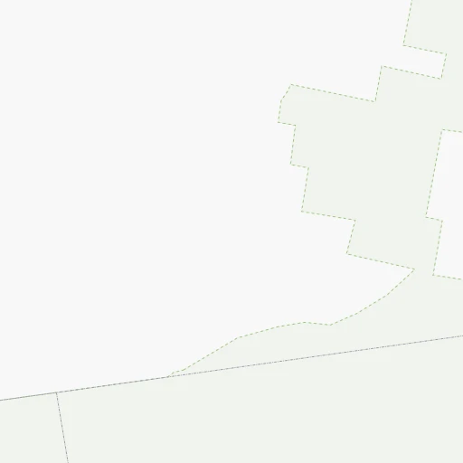
Location Errol (airport) (New Hampshire) :
| Country flag |  |
| Location | Errol (airport) |
| State | New Hampshire |
| County | Coos County |
| Country | United States |
| Country code / ISO 2 | US |
| Latitude | 44.7927300 |
| Longitude | -71.1643100 |
| Altitude | 378 meters |
| Time zone | America/New_York |
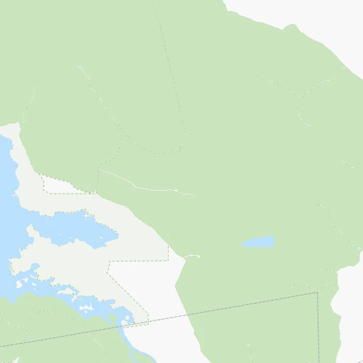
Location Brockton (Massachusetts) :
| Country flag | |
| Location | Brockton |
| State | Massachusetts |
| County | Plymouth County |
| Country | United States |
| Country code / ISO 2 | US |
| Latitude | 42.0834300 |
| Longitude | -71.0183800 |
| Altitude | 35 meters |
| Time zone | America/New_York |


