
How to get from Boston and Main Railroad Station (New Hampshire) to Keene (New Hampshire)
Calculate route from Boston and Main Railroad Station (New Hampshire, United States) to Keene (New Hampshire, United States).
The flight distance (as the crow flies) between Boston and Main Railroad Station and Keene is 92.9 km.
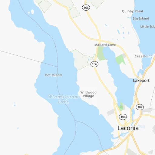
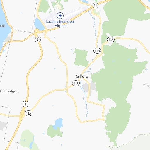
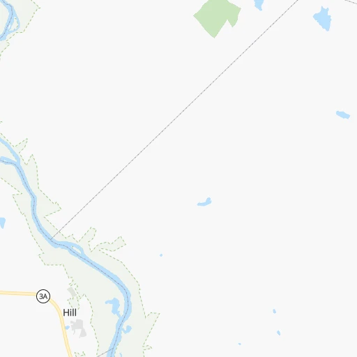
Roadmap (route) to go from Boston and Main Railroad Station to Keene detailed above, you can also see the course layout on the map.
While doing trip Boston and Main Railroad Station - Keene by car, the calculated route ends at a distance , or more straight.
Distance and duration of the route between Boston and Main Railroad Station and Keene
Calculation of distance and route from Keene to Boston and Main Railroad Station :
92.9125.5 km2h40mn
Continue onto Pleasant Street 0h0mn 14 mTurn left onto New Salem Street 0h1mn 923 mTurn right onto Court Street 0h13mn 12.0 kmKeep right toward I 93 South 0h19mn 30.0 kmKeep right and take NH 9 toward State Offices 0h0mn 330 mTurn right onto Loudon Road 0h0mn 279 mTurn left onto North Main Street 0h0mn 20 mTurn slight right onto North Main Street 0h1mn 461 mTurn right onto Pleasant Street 0h0mn 298 mTurn left onto South Street 0h1mn 946 mTurn sharp right onto Clinton Street 0h3mn 2.6 kmKeep right 0h6mn 9.6 kmKeep left and take US 202 West, NH 9 West toward Henniker, Keene 0h1mn 1.1 kmContinue 0h19mn 25.2 kmContinue onto West Main Street 1h31mn 39.0 kmTurn left onto Washington Street 0h4mn 2.7 kmTurn right onto Central Square 0h0mn 66 mKeep left onto Central Square 0h0mn 50 mContinue onto Central Square 0h0mn 54 mTurn slight right onto Roxbury Street 0h0mn 11 mArrive at destination 0h0mn 0 m
Travel from Boston and Main Railroad Station (New Hampshire) to a selection of major cities.
Distances from Boston and Main Railroad Station to biggest cities in New Hampshire
Other major cities in country :
- Charlotte [NC], 827,097 inhabitants. 1,225 km
- Seattle [WA], 684,451 inhabitants. 3,918 km
- Denver [CO], 682,545 inhabitants. 2,801 km
- El Paso [TX], 681,124 inhabitants. 3,322 km
- Detroit [MI], 677,116 inhabitants. 952 km
- Boston [MA], 667,137 inhabitants. 135 km
- Memphis [TN], 655,770 inhabitants. 1,845 km
- New South Memphis [TN], 641,608 inhabitants. 1,850 km
- Portland [OR], 632,309 inhabitants. 4,000 km
- Oklahoma City [OK], 631,346 inhabitants. 2,398 km
- Las Vegas [NV], 623,747 inhabitants. 3,775 km
- Baltimore [MD], 621,849 inhabitants. 637 km
- Washington, D.C. [DC], 601,723 inhabitants. 695 km
- Milwaukee [WI], 600,155 inhabitants. 1,331 km
- South Boston [MA], 571,281 inhabitants. 137 km
- Albuquerque [NM], 559,121 inhabitants. 3,146 km
- Tucson [AZ], 531,641 inhabitants. 3,648 km
- Nashville [TN], 530,852 inhabitants. 1,540 km
- Fresno [CA], 520,052 inhabitants. 4,120 km
- Sacramento [CA], 490,712 inhabitants. 4,171 km
Route from Keene to major cities (United States).
- Distance Keene New York City286 km
- Distance Keene Los Angeles4,072 km
- Distance Keene Chicago1,268 km
- Distance Keene Brooklyn290 km
- Distance Keene Houston2,523 km
- Distance Keene Queens282 km
- Distance Keene Philadelphia410 km
- Distance Keene Phoenix3,601 km
- Distance Keene Manhattan277 km
- Distance Keene San Antonio2,777 km
- Distance Keene San Diego4,055 km
- Distance Keene The Bronx267 km
- Distance Keene Dallas2,421 km
- Distance Keene San Jose4,207 km
- Distance Keene Austin2,661 km
- Distance Keene Jacksonville1,631 km
- Distance Keene San Francisco4,229 km
- Distance Keene Columbus953 km
- Distance Keene Fort Worth2,465 km
- Distance Keene Indianapolis1,211 km
Nearest cities to Boston and Main Railroad Station :
- New York City, 8,175,133 inhabitants. 377 km
- Brooklyn, 2,300,664 inhabitants. 380 km
- Queens, 2,272,771 inhabitants. 372 km
- Manhattan, 1,487,536 inhabitants. 368 km
- The Bronx, 1,385,108 inhabitants. 358 km
- Boston, 667,137 inhabitants. 135 km
- South Boston, 571,281 inhabitants. 137 km
- Staten Island, 468,730 inhabitants. 397 km
- Newark, 281,944 inhabitants. 382 km
- Jersey City, 264,290 inhabitants. 379 km
- Jamaica, 216,866 inhabitants. 370 km
- Yonkers, 201,116 inhabitants. 352 km
- Worcester, 184,815 inhabitants. 143 km
- Harlem, 181,259 inhabitants. 365 km
- Providence, 179,207 inhabitants. 190 km
- East Flatbush, 178,464 inhabitants. 379 km
- East New York, 173,198 inhabitants. 376 km
- Springfield, 154,341 inhabitants. 183 km
- Washington Heights, 152,613 inhabitants. 361 km
- Astoria, 150,165 inhabitants. 368 km
- Borough Park, 149,248 inhabitants. 384 km
- Paterson, 147,754 inhabitants. 366 km
- Bridgeport, 147,629 inhabitants. 299 km
- New Haven, 130,322 inhabitants. 275 km
- Elizabeth, 129,007 inhabitants. 391 km
- Stamford, 128,874 inhabitants. 324 km
- Sunset Park, 126,000 inhabitants. 383 km
- Hartford, 124,006 inhabitants. 220 km
- Sheepshead Bay, 122,534 inhabitants. 386 km
- North Stamford, 121,230 inhabitants. 316 km
- East Harlem, 115,921 inhabitants. 366 km
- Elmhurst, 113,364 inhabitants. 369 km
- Bushwick, 112,620 inhabitants. 375 km
- Gravesend, 112,229 inhabitants. 386 km
- Lowell, 110,699 inhabitants. 100 km
- Cambridge, 110,402 inhabitants. 132 km
- Manchester, 110,229 inhabitants. 59 km
- Corona, 109,698 inhabitants. 367 km
- Waterbury, 108,802 inhabitants. 255 km
- Richmond Hill, 98,984 inhabitants. 370 km
- Albany, 98,469 inhabitants. 210 km
- Brockton, 95,314 inhabitants. 165 km
- New Bedford, 94,958 inhabitants. 215 km
- Fordham, 94,678 inhabitants. 358 km
- West Albany, 93,794 inhabitants. 210 km
- Quincy, 93,618 inhabitants. 147 km
- Flatbush, 93,361 inhabitants. 380 km
- Lynn, 92,457 inhabitants. 126 km
- Newton, 88,817 inhabitants. 134 km
- Fall River, 88,777 inhabitants. 205 km
Location Boston and Main Railroad Station (New Hampshire) :
| Country flag |  |
| Location | Boston and Main Railroad Station |
| State | New Hampshire |
| County | Belknap County |
| Country | United States |
| Country code / ISO 2 | US |
| Latitude | 43.5284100 |
| Longitude | -71.4725700 |
| Altitude | 155 meters |
| Time zone | America/New_York |
Location Keene (New Hampshire) :
| Country flag | |
| Location | Keene |
| State | New Hampshire |
| County | Cheshire County |
| Country | United States |
| Country code / ISO 2 | US |
| Latitude | 42.9336900 |
| Longitude | -72.2781400 |
| Altitude | 148 meters |
| Time zone | America/New_York |


