
How to get from X1 Ranch (airport) (Nebraska) to Abilene (Kansas)
Calculate route from X1 Ranch (airport) (Nebraska, United States) to Abilene (Kansas, United States).
The flight distance (as the crow flies) between X1 Ranch (airport) and Abilene is 344.1 km.
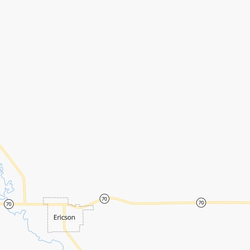
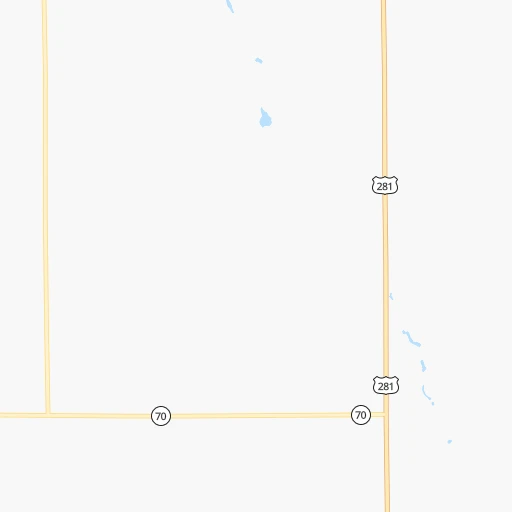
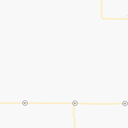
Roadmap (route) to go from X1 Ranch Airport to Abilene detailed above, you can also see the course layout on the map.
While doing trip X1 Ranch (airport) - Abilene by car, the calculated route ends at a distance , or more straight.
Distance and duration of the route between X1 Ranch (airport) and Abilene
Calculation of distance and route from Abilene to X1 Ranch (airport) :
344.1439.4 km5h55mn
Continue 0h2mn 737 mTurn left onto Highway 70 - 91 0h3mn 4.5 kmTurn right onto Chesapeake Street 0h2mn 1.6 kmKeep left onto Ericson Lake Road 0h10mn 12.4 kmTurn right onto Highway 281 0h3mn 4.9 kmTurn left onto Highway 91 1h31mn 47.9 kmKeep left onto Highway 14 0h10mn 15.0 kmTurn left onto Highway 39 0h13mn 19.3 kmContinue onto Willard Avenue 0h1mn 599 mTurn right onto South Park Street 0h2mn 2.0 kmContinue onto State Highway 39 0h20mn 31.1 kmTurn left onto County Road 130 0h3mn 4.6 kmKeep right 0h21mn 30.7 kmTurn left onto Highway 34 0h0mn 332 mKeep right 0h6mn 6.2 kmTurn left onto US 81, I 80 Alternate 2h0mn 197.2 kmKeep right and take KS 106 toward Minneapolis 0h1mn 600 mTurn left onto State Highway 106 0h0mn 317 mTurn right onto Heartland Drive 0h11mn 11.4 kmTurn left onto KS 18 0h23mn 35.3 kmTurn right onto Eisenhower Memorial Highway 0h13mn 12.9 kmArrive at destination 0h0mn 0 m
Travel from X1 Ranch (airport) (Kansas) to a selection of major cities.
Distances from X1 Ranch Airport to biggest cities in Nebraska
Other major cities in country :
- Charlotte [NC], 827,097 inhabitants. 1,716 km
- Seattle [WA], 684,451 inhabitants. 1,967 km
- Denver [CO], 682,545 inhabitants. 575 km
- El Paso [TX], 681,124 inhabitants. 1,312 km
- Detroit [MI], 677,116 inhabitants. 1,296 km
- Boston [MA], 667,137 inhabitants. 2,277 km
- Memphis [TN], 655,770 inhabitants. 1,057 km
- New South Memphis [TN], 641,608 inhabitants. 1,061 km
- Portland [OR], 632,309 inhabitants. 1,965 km
- Oklahoma City [OK], 631,346 inhabitants. 712 km
- Las Vegas [NV], 623,747 inhabitants. 1,548 km
- Baltimore [MD], 621,849 inhabitants. 1,886 km
- Washington, D.C. [DC], 601,723 inhabitants. 1,863 km
- Milwaukee [WI], 600,155 inhabitants. 900 km
- South Boston [MA], 571,281 inhabitants. 2,278 km
- Albuquerque [NM], 559,121 inhabitants. 1,016 km
- Tucson [AZ], 531,641 inhabitants. 1,517 km
- Nashville [TN], 530,852 inhabitants. 1,207 km
- Fresno [CA], 520,052 inhabitants. 1,893 km
- Sacramento [CA], 490,712 inhabitants. 1,963 km
Route from Abilene to major cities (United States).
- Distance Abilene New York City1,989 km
- Distance Abilene Los Angeles1,954 km
- Distance Abilene Chicago874 km
- Distance Abilene Brooklyn1,994 km
- Distance Abilene Houston1,033 km
- Distance Abilene Queens2,003 km
- Distance Abilene Philadelphia1,894 km
- Distance Abilene Phoenix1,465 km
- Distance Abilene Manhattan1,992 km
- Distance Abilene San Antonio1,063 km
- Distance Abilene San Diego1,924 km
- Distance Abilene The Bronx2,000 km
- Distance Abilene Dallas684 km
- Distance Abilene San Jose2,162 km
- Distance Abilene Austin964 km
- Distance Abilene Jacksonville1,712 km
- Distance Abilene San Francisco2,197 km
- Distance Abilene Columbus1,226 km
- Distance Abilene Fort Worth689 km
- Distance Abilene Indianapolis956 km
Nearest cities to X1 Ranch (airport) :
- Omaha, 443,885 inhabitants. 240 km
- Lincoln, 277,348 inhabitants. 205 km
- Sioux Falls, 171,544 inhabitants. 257 km
- Sioux City, 82,821 inhabitants. 208 km
- Council Bluffs, 62,597 inhabitants. 246 km
- Manhattan, 56,308 inhabitants. 343 km
- Bellevue, 55,510 inhabitants. 248 km
- Grand Island, 51,440 inhabitants. 102 km
- Salina, 47,813 inhabitants. 342 km
- Kearney, 33,021 inhabitants. 125 km
- Fremont, 26,474 inhabitants. 190 km
- Hastings, 24,924 inhabitants. 137 km
- Junction City, 24,621 inhabitants. 347 km
- Norfolk, 24,366 inhabitants. 112 km
- North Platte, 24,194 inhabitants. 185 km
- Brookings, 23,657 inhabitants. 322 km
- Columbus, 22,797 inhabitants. 120 km
- Hays, 21,092 inhabitants. 328 km
- Papillion, 19,510 inhabitants. 235 km
- La Vista, 16,921 inhabitants. 235 km
- Mitchell, 15,669 inhabitants. 221 km
- Yankton, 14,557 inhabitants. 163 km
- Pierre, 14,002 inhabitants. 316 km
- Marshall, 13,652 inhabitants. 380 km
- South Sioux City, 13,319 inhabitants. 206 km
- Huron, 13,313 inhabitants. 289 km
- Beatrice, 12,388 inhabitants. 238 km
- Chalco, 10,994 inhabitants. 225 km
- Vermillion, 10,738 inhabitants. 185 km
- Lexington, 10,075 inhabitants. 141 km
- Brandon, 9,856 inhabitants. 267 km
- Le Mars, 9,761 inhabitants. 239 km
- Elkhorn, 8,251 inhabitants. 215 km
- Blair, 7,975 inhabitants. 218 km
- York, 7,864 inhabitants. 140 km
- Fort Riley North, 7,761 inhabitants. 340 km
- McCook, 7,580 inhabitants. 238 km
- Sioux Center, 7,461 inhabitants. 254 km
- Nebraska City, 7,335 inhabitants. 270 km
- Madison, 7,258 inhabitants. 280 km
- Seward, 7,167 inhabitants. 168 km
- Crete, 7,037 inhabitants. 197 km
- Abilene, 6,558 inhabitants. 345 km
- Plattsmouth, 6,462 inhabitants. 253 km
- Orange City, 6,198 inhabitants. 258 km
- Schuyler, 6,171 inhabitants. 144 km
- Ralston, 5,994 inhabitants. 233 km
- Wayne, 5,569 inhabitants. 150 km
- Holdrege, 5,561 inhabitants. 160 km
- Harrisburg, 5,498 inhabitants. 247 km
Location X1 Ranch (airport) (Nebraska) :
| Country flag |  |
| Location | X1 Ranch (airport) |
| State | Nebraska |
| County | Wheeler County |
| Country | United States |
| Country code / ISO 2 | US |
| Latitude | 41.7909000 |
| Longitude | -98.7287500 |
| Altitude | 629 meters |
| Time zone | America/Chicago |
Location Abilene (Kansas) :
| Country flag | |
| Location | Abilene |
| State | Kansas |
| County | Dickinson County |
| Country | United States |
| Country code / ISO 2 | US |
| Latitude | 38.9172200 |
| Longitude | -97.2139100 |
| Altitude | 352 meters |
| Time zone | America/Chicago |