
How to get from Thies (airport) (Nebraska) to Denison (Iowa)
Calculate route from Thies (airport) (Nebraska, United States) to Denison (Iowa, United States).
The flight distance (as the crow flies) between Thies (airport) and Denison is 166.6 km.
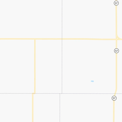
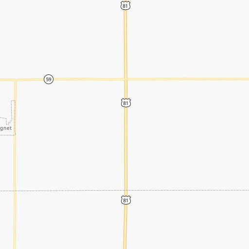
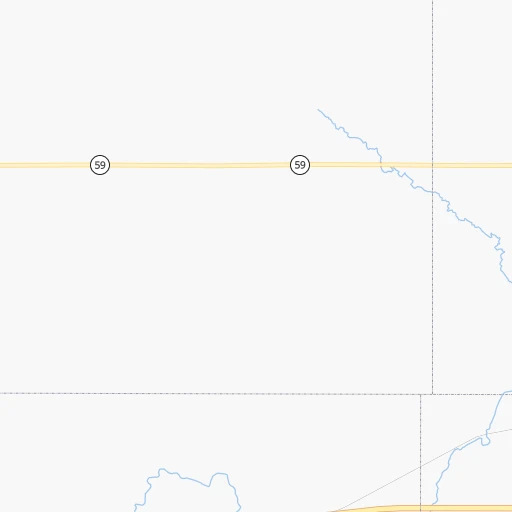
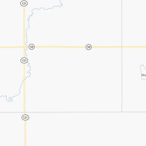
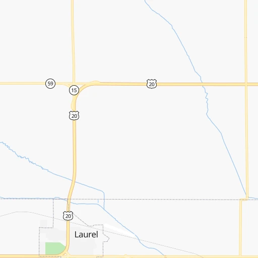
Roadmap (route) to go from Thies Airport to Denison detailed above, you can also see the course layout on the map.
While doing trip Thies (airport) - Denison by car, the calculated route ends at a distance , or more straight.
Distance and duration of the route between Thies (airport) and Denison
Calculation of distance and route from Denison to Thies (airport) :
166.6196.5 km2h21mn
Continue 0h0mn 64 mTurn left onto 870 Road 0h6mn 6.9 kmTurn left onto Highway 57 0h1mn 1.6 kmTurn right onto 871 Road 0h8mn 9.6 kmTurn left onto Highway 20 1h40mn 61.3 kmKeep right onto US 75 Business and take I 29 South toward Council Bluffs, Sioux Gateway Airport 0h16mn 27.2 kmKeep right and take IA 141 toward Sloan 0h0mn 376 mKeep left and take IA 141, K42 toward Sloan 0h0mn 38 mTurn left onto George P. Soumas Memorial Highway 1h5mn 84.7 kmKeep right 0h2mn 3.1 kmKeep left 0h0mn 74 mContinue onto State Highway 39 0h0mn 326 mTurn right onto Avenue C 0h1mn 1.1 kmTurn left onto 1st Avenue North 0h0mn 75 mTurn right onto North Main Street 0h0mn 10 mArrive at destination 0h0mn 0 m
Travel from Thies (airport) (Iowa) to a selection of major cities.
Distances from Thies Airport to biggest cities in Nebraska
Other major cities in country :
- Charlotte [NC], 827,097 inhabitants. 1,633 km
- Seattle [WA], 684,451 inhabitants. 2,042 km
- Denver [CO], 682,545 inhabitants. 711 km
- El Paso [TX], 681,124 inhabitants. 1,440 km
- Detroit [MI], 677,116 inhabitants. 1,170 km
- Boston [MA], 667,137 inhabitants. 2,148 km
- Memphis [TN], 655,770 inhabitants. 1,026 km
- New South Memphis [TN], 641,608 inhabitants. 1,031 km
- Portland [OR], 632,309 inhabitants. 2,053 km
- Oklahoma City [OK], 631,346 inhabitants. 777 km
- Las Vegas [NV], 623,747 inhabitants. 1,683 km
- Baltimore [MD], 621,849 inhabitants. 1,772 km
- Washington, D.C. [DC], 601,723 inhabitants. 1,751 km
- Milwaukee [WI], 600,155 inhabitants. 770 km
- South Boston [MA], 571,281 inhabitants. 2,149 km
- Albuquerque [NM], 559,121 inhabitants. 1,152 km
- Tucson [AZ], 531,641 inhabitants. 1,654 km
- Nashville [TN], 530,852 inhabitants. 1,142 km
- Fresno [CA], 520,052 inhabitants. 2,022 km
- Sacramento [CA], 490,712 inhabitants. 2,085 km
Route from Denison to major cities (United States).
- Distance Denison New York City1,785 km
- Distance Denison Los Angeles2,185 km
- Distance Denison Chicago638 km
- Distance Denison Brooklyn1,791 km
- Distance Denison Houston1,364 km
- Distance Denison Queens1,800 km
- Distance Denison Philadelphia1,708 km
- Distance Denison Phoenix1,749 km
- Distance Denison Manhattan1,787 km
- Distance Denison San Antonio1,430 km
- Distance Denison San Diego2,181 km
- Distance Denison The Bronx1,793 km
- Distance Denison Dallas1,036 km
- Distance Denison San Jose2,323 km
- Distance Denison Austin1,325 km
- Distance Denison Jacksonville1,786 km
- Distance Denison San Francisco2,349 km
- Distance Denison Columbus1,062 km
- Distance Denison Fort Worth1,049 km
- Distance Denison Indianapolis813 km
Nearest cities to Thies (airport) :
- Omaha, 443,885 inhabitants. 173 km
- Lincoln, 277,348 inhabitants. 190 km
- Sioux Falls, 171,544 inhabitants. 133 km
- Sioux City, 82,821 inhabitants. 74 km
- Saint Joseph, 76,780 inhabitants. 362 km
- Council Bluffs, 62,597 inhabitants. 177 km
- Bellevue, 55,510 inhabitants. 186 km
- Grand Island, 51,440 inhabitants. 190 km
- Kearney, 33,021 inhabitants. 244 km
- Fremont, 26,474 inhabitants. 130 km
- Hastings, 24,924 inhabitants. 226 km
- Norfolk, 24,366 inhabitants. 47 km
- Brookings, 23,657 inhabitants. 212 km
- Columbus, 22,797 inhabitants. 113 km
- Watertown, 22,073 inhabitants. 274 km
- Willmar, 19,638 inhabitants. 349 km
- Papillion, 19,510 inhabitants. 177 km
- La Vista, 16,921 inhabitants. 175 km
- Mitchell, 15,669 inhabitants. 153 km
- Yankton, 14,557 inhabitants. 49 km
- Hutchinson, 13,913 inhabitants. 360 km
- Marshall, 13,652 inhabitants. 254 km
- New Ulm, 13,327 inhabitants. 310 km
- South Sioux City, 13,319 inhabitants. 73 km
- Huron, 13,313 inhabitants. 226 km
- Worthington, 13,090 inhabitants. 191 km
- Beatrice, 12,388 inhabitants. 246 km
- Maryville, 11,879 inhabitants. 309 km
- Spencer, 11,212 inhabitants. 192 km
- Chalco, 10,994 inhabitants. 169 km
- Storm Lake, 10,910 inhabitants. 173 km
- Vermillion, 10,738 inhabitants. 48 km
- Atchison, 10,712 inhabitants. 369 km
- Fairmont, 10,221 inhabitants. 267 km
- Lexington, 10,075 inhabitants. 275 km
- Carroll, 9,968 inhabitants. 205 km
- Brandon, 9,856 inhabitants. 141 km
- Le Mars, 9,761 inhabitants. 101 km
- Denison, 8,334 inhabitants. 167 km
- Elkhorn, 8,251 inhabitants. 156 km
- Blair, 7,975 inhabitants. 139 km
- York, 7,864 inhabitants. 177 km
- Creston, 7,854 inhabitants. 288 km
- Sioux Center, 7,461 inhabitants. 116 km
- Nebraska City, 7,335 inhabitants. 230 km
- Madison, 7,258 inhabitants. 175 km
- Seward, 7,167 inhabitants. 172 km
- Crete, 7,037 inhabitants. 204 km
- Atlantic, 6,833 inhabitants. 222 km
- Litchfield, 6,657 inhabitants. 373 km
Location Thies (airport) (Nebraska) :
| Country flag |  |
| Location | Thies (airport) |
| State | Nebraska |
| County | Cedar County |
| Country | United States |
| Country code / ISO 2 | US |
| Latitude | 42.4416700 |
| Longitude | -97.2970000 |
| Altitude | 526 meters |
| Time zone | America/Chicago |
Location Denison (Iowa) :
| Country flag | |
| Location | Denison |
| State | Iowa |
| County | Crawford County |
| Country | United States |
| Country code / ISO 2 | US |
| Latitude | 42.0177700 |
| Longitude | -95.3552800 |
| Altitude | 391 meters |
| Time zone | America/Chicago |

