
How to get from Bankson (airport) (Nebraska) to Lexington (Nebraska)
Calculate route from Bankson (airport) (Nebraska, United States) to Lexington (Nebraska, United States).
The flight distance (as the crow flies) between Bankson (airport) and Lexington is 156.8 km.
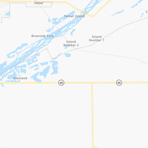
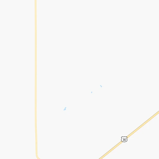
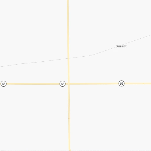
Roadmap (route) to go from Bankson Airport to Lexington detailed above, you can also see the course layout on the map.
While doing trip Bankson (airport) - Lexington by car, the calculated route ends at a distance , or more straight.
Distance and duration of the route between Bankson (airport) and Lexington
Calculation of distance and route from Lexington to Bankson (airport) :
156.8168.7 km2h3mn
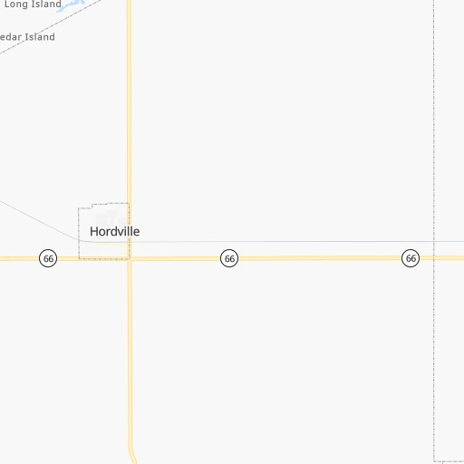
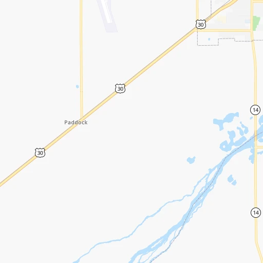
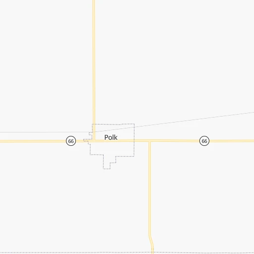
Continue onto Highway 66 0h5mn 7.2 kmTurn right onto Highway 14 0h1mn 1.6 kmTurn left onto L Road 0h3mn 3.8 kmTurn left onto Highway 30 1h17mn 102.8 kmContinue onto Highway 30 1h37mn 52.7 kmTurn right onto North Washington Street 0h1mn 460 mArrive at destination 0h0mn 0 m
Travel from Bankson (airport) (Nebraska) to a selection of major cities.
Distances from Bankson Airport to biggest cities in Nebraska
Other major cities in country :
- Charlotte [NC], 827,097 inhabitants. 1,626 km
- Seattle [WA], 684,451 inhabitants. 2,065 km
- Denver [CO], 682,545 inhabitants. 617 km
- El Paso [TX], 681,124 inhabitants. 1,289 km
- Detroit [MI], 677,116 inhabitants. 1,242 km
- Boston [MA], 667,137 inhabitants. 2,227 km
- Memphis [TN], 655,770 inhabitants. 953 km
- New South Memphis [TN], 641,608 inhabitants. 958 km
- Portland [OR], 632,309 inhabitants. 2,057 km
- Oklahoma City [OK], 631,346 inhabitants. 625 km
- Las Vegas [NV], 623,747 inhabitants. 1,591 km
- Baltimore [MD], 621,849 inhabitants. 1,818 km
- Washington, D.C. [DC], 601,723 inhabitants. 1,793 km
- Milwaukee [WI], 600,155 inhabitants. 855 km
- South Boston [MA], 571,281 inhabitants. 2,228 km
- Albuquerque [NM], 559,121 inhabitants. 1,014 km
- Tucson [AZ], 531,641 inhabitants. 1,521 km
- Nashville [TN], 530,852 inhabitants. 1,110 km
- Fresno [CA], 520,052 inhabitants. 1,948 km
- Sacramento [CA], 490,712 inhabitants. 2,029 km
Route from Lexington to major cities (United States).
- Distance Lexington New York City2,163 km
- Distance Lexington Los Angeles1,794 km
- Distance Lexington Chicago1,017 km
- Distance Lexington Brooklyn2,168 km
- Distance Lexington Houston1,289 km
- Distance Lexington Queens2,177 km
- Distance Lexington Philadelphia2,080 km
- Distance Lexington Phoenix1,363 km
- Distance Lexington Manhattan2,165 km
- Distance Lexington San Antonio1,269 km
- Distance Lexington San Diego1,790 km
- Distance Lexington The Bronx2,172 km
- Distance Lexington Dallas928 km
- Distance Lexington San Jose1,947 km
- Distance Lexington Austin1,184 km
- Distance Lexington Jacksonville2,002 km
- Distance Lexington San Francisco1,977 km
- Distance Lexington Columbus1,421 km
- Distance Lexington Fort Worth922 km
- Distance Lexington Indianapolis1,158 km
Nearest cities to Bankson (airport) :
- Omaha, 443,885 inhabitants. 167 km
- Lincoln, 277,348 inhabitants. 109 km
- Sioux Falls, 171,544 inhabitants. 293 km
- Topeka, 127,265 inhabitants. 295 km
- Lawrence, 93,917 inhabitants. 327 km
- Sioux City, 82,821 inhabitants. 202 km
- Council Bluffs, 62,597 inhabitants. 173 km
- Manhattan, 56,308 inhabitants. 240 km
- Bellevue, 55,510 inhabitants. 170 km
- Grand Island, 51,440 inhabitants. 40 km
- Salina, 47,813 inhabitants. 250 km
- Leavenworth, 35,980 inhabitants. 321 km
- Kearney, 33,021 inhabitants. 107 km
- Fremont, 26,474 inhabitants. 125 km
- Hastings, 24,924 inhabitants. 68 km
- Emporia, 24,649 inhabitants. 332 km
- Junction City, 24,621 inhabitants. 246 km
- Norfolk, 24,366 inhabitants. 114 km
- North Platte, 24,194 inhabitants. 239 km
- Columbus, 22,797 inhabitants. 60 km
- Hays, 21,092 inhabitants. 273 km
- Gardner, 20,868 inhabitants. 359 km
- Papillion, 19,510 inhabitants. 157 km
- La Vista, 16,921 inhabitants. 158 km
- Great Bend, 15,717 inhabitants. 311 km
- Mitchell, 15,669 inhabitants. 293 km
- Yankton, 14,557 inhabitants. 204 km
- South Sioux City, 13,319 inhabitants. 199 km
- McPherson, 13,144 inhabitants. 302 km
- Worthington, 13,090 inhabitants. 341 km
- Beatrice, 12,388 inhabitants. 133 km
- Ottawa, 12,387 inhabitants. 355 km
- Spencer, 11,212 inhabitants. 324 km
- Chalco, 10,994 inhabitants. 148 km
- Storm Lake, 10,910 inhabitants. 284 km
- Vermillion, 10,738 inhabitants. 206 km
- Atchison, 10,712 inhabitants. 291 km
- Lexington, 10,075 inhabitants. 157 km
- Brandon, 9,856 inhabitants. 301 km
- Le Mars, 9,761 inhabitants. 240 km
- Denison, 8,334 inhabitants. 238 km
- Elkhorn, 8,251 inhabitants. 143 km
- Blair, 7,975 inhabitants. 158 km
- York, 7,864 inhabitants. 36 km
- Fort Riley North, 7,761 inhabitants. 238 km
- McCook, 7,580 inhabitants. 249 km
- Sioux Center, 7,461 inhabitants. 265 km
- Nebraska City, 7,335 inhabitants. 179 km
- Madison, 7,258 inhabitants. 333 km
- Seward, 7,167 inhabitants. 71 km
Location Bankson (airport) (Nebraska) :
| Country flag |  |
| Location | Bankson (airport) |
| State | Nebraska |
| County | Hamilton County |
| Country | United States |
| Country code / ISO 2 | US |
| Latitude | 41.0761300 |
| Longitude | -97.9147800 |
| Altitude | 540 meters |
| Time zone | America/Chicago |
Location Lexington (Nebraska) :
| Country flag | |
| Location | Lexington |
| State | Nebraska |
| County | Dawson County |
| Country | United States |
| Country code / ISO 2 | US |
| Latitude | 40.7808400 |
| Longitude | -99.7415000 |
| Altitude | 729 meters |
| Time zone | America/Chicago |
