
Home
››
Gould Peterson Municipal Airport
››
Roadmap from Gould Peterson Municipal Airport to Junction City
How to get from Gould Peterson Municipal (airport) (Missouri) to Junction City (Kansas)
Calculate route from Gould Peterson Municipal (airport) (Missouri, United States) to Junction City (Kansas, United States).
The flight distance (as the crow flies) between Gould Peterson Municipal (airport) and Junction City is 201.7 km.
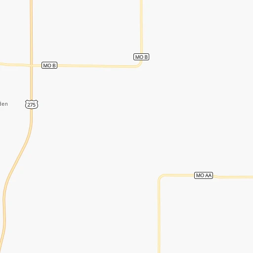
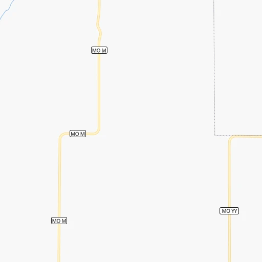
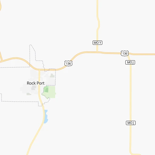
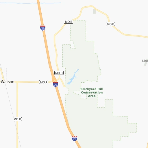
Roadmap (route) to go from Gould Peterson Municipal Airport to Junction City detailed above, you can also see the course layout on the map.
While doing trip Gould Peterson Municipal (airport) - Junction City by car, the calculated route ends at a distance , or more straight.
Distance and duration of the route between Gould Peterson Municipal (airport) and Junction City
Calculation of distance and route from Junction City to Gould Peterson Municipal (airport) :
201.7276.0 km4h42mn
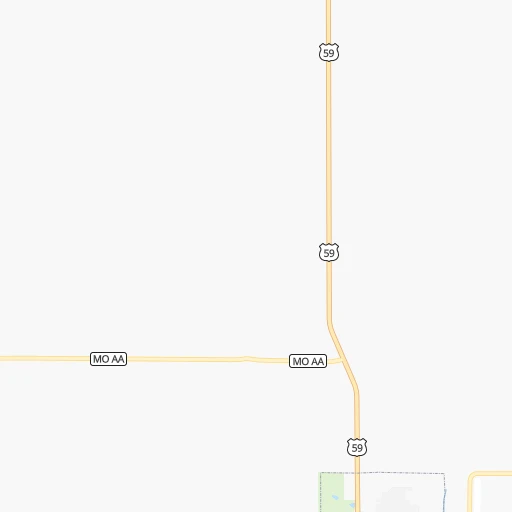
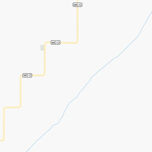
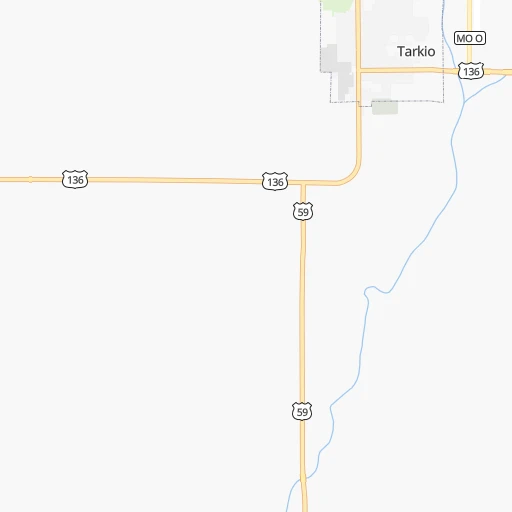
Continue 0h0mn 19 mTurn left onto MO O 0h2mn 1.8 kmTurn right onto US 136 0h1mn 1.6 kmTurn left onto South 10th Street 0h2mn 2.3 kmTurn left onto US 59 0h9mn 9.4 kmTurn left onto East Main Street 0h17mn 18.4 kmTurn right onto Craig Street 0h9mn 9.2 kmKeep right onto Driftwood Drive 0h9mn 4.7 kmKeep right 0h2mn 790 mTurn right onto Del Rio Road 0h2mn 1.1 kmTurn right onto Del Rio Road 0h2mn 865 mTurn right onto US 159 0h15mn 19.5 kmTurn sharp left onto Fulton Street 0h2mn 2.0 kmTurn left onto 652 Avenue 0h1mn 1.1 kmTurn right onto 704 Road 0h11mn 13.6 kmTurn right onto 703 Trail 0h4mn 4.8 kmTurn left onto 641 Avenue 0h1mn 1.9 kmContinue onto 641 Avenue 0h8mn 10.2 kmTurn right onto 192nd Road 0h2mn 3.1 kmContinue onto 192nd Road 0h0mn 114 mTurn left onto X Road 0h1mn 1.6 kmTurn right onto 184th Road 0h0mn 193 mKeep left onto 180th Road 0h3mn 2.4 kmTurn right onto 176th Road 0h1mn 1.6 kmTurn left onto T Road 0h1mn 1.6 kmTurn right onto 168th Road 0h4mn 4.7 kmTurn slight left onto Clark Street 0h1mn 634 mTurn left onto 5th Street 0h0mn 105 mTurn right onto 164th Road 0h7mn 7.5 kmContinue onto 160th Road 0h1mn 1.1 kmTurn left onto L Road 0h1mn 1.6 kmTurn right onto US 36 0h22mn 32.8 kmTurn left onto 21st Terrace 0h11mn 15.4 kmTurn right onto East 3rd Street 0h0mn 157 mTurn left onto North Kansas Avenue 0h16mn 23.7 kmTurn right onto KS 16 0h24mn 36.5 kmKeep right 0h1mn 1.6 kmTurn left onto North Seth Child Road 0h7mn 8.9 kmKeep right and take KS 18 West toward Fort Riley Boulevard West 0h11mn 18.1 kmKeep right onto KS 18 and drive toward I-70 West, Salina 0h4mn 6.1 kmKeep right and drive toward J Hill Road, Flinthills Boulevard 0h0mn 362 mTurn right onto J Hill Road 0h0mn 89 mTurn left onto East 6th Street 0h3mn 2.7 kmTurn right onto North Jefferson Street 0h0mn 40 mArrive at destination 0h0mn 0 m
Travel from Gould Peterson Municipal (airport) (Kansas) to a selection of major cities.
Distances from Gould Peterson Municipal Airport to biggest cities in Missouri
- University City,35,058 inhabitants.478 km
- Ballwin,30,577 inhabitants.462 km
- Liberty,30,450 inhabitants.157 km
- Raytown,29,401 inhabitants.178 km
- Mehlville,28,380 inhabitants.484 km
- Kirkwood,27,750 inhabitants.474 km
- Maryland Heights,27,389 inhabitants.465 km
- Gladstone,26,861 inhabitants.155 km
- Hazelwood,25,661 inhabitants.467 km
- Grandview,25,256 inhabitants.188 km
- Webster Groves,23,177 inhabitants.477 km
- Belton,23,168 inhabitants.196 km
- Sedalia,21,516 inhabitants.267 km
- Arnold,21,357 inhabitants.484 km
- Ferguson,21,059 inhabitants.474 km
- Nixa,20,984 inhabitants.420 km
- Raymore,20,374 inhabitants.200 km
- Affton,20,307 inhabitants.481 km
- Rolla,20,019 inhabitants.417 km
Other major cities in country :
- Charlotte [NC], 827,097 inhabitants. 1,401 km
- Seattle [WA], 684,451 inhabitants. 2,286 km
- Denver [CO], 682,545 inhabitants. 823 km
- El Paso [TX], 681,124 inhabitants. 1,390 km
- Detroit [MI], 677,116 inhabitants. 1,049 km
- Boston [MA], 667,137 inhabitants. 2,034 km
- Memphis [TN], 655,770 inhabitants. 753 km
- New South Memphis [TN], 641,608 inhabitants. 758 km
- Portland [OR], 632,309 inhabitants. 2,282 km
- Oklahoma City [OK], 631,346 inhabitants. 586 km
- Las Vegas [NV], 623,747 inhabitants. 1,787 km
- Baltimore [MD], 621,849 inhabitants. 1,604 km
- Washington, D.C. [DC], 601,723 inhabitants. 1,577 km
- Milwaukee [WI], 600,155 inhabitants. 683 km
- South Boston [MA], 571,281 inhabitants. 2,034 km
- Albuquerque [NM], 559,121 inhabitants. 1,158 km
- Tucson [AZ], 531,641 inhabitants. 1,665 km
- Nashville [TN], 530,852 inhabitants. 888 km
- Fresno [CA], 520,052 inhabitants. 2,156 km
- Sacramento [CA], 490,712 inhabitants. 2,245 km
Route from Junction City to major cities (United States).
- Distance Junction City New York City1,954 km
- Distance Junction City Los Angeles1,988 km
- Distance Junction City Chicago838 km
- Distance Junction City Brooklyn1,959 km
- Distance Junction City Houston1,040 km
- Distance Junction City Queens1,968 km
- Distance Junction City Philadelphia1,860 km
- Distance Junction City Phoenix1,500 km
- Distance Junction City Manhattan1,957 km
- Distance Junction City San Antonio1,080 km
- Distance Junction City San Diego1,959 km
- Distance Junction City The Bronx1,965 km
- Distance Junction City Dallas695 km
- Distance Junction City San Jose2,194 km
- Distance Junction City Austin979 km
- Distance Junction City Jacksonville1,690 km
- Distance Junction City San Francisco2,229 km
- Distance Junction City Columbus1,192 km
- Distance Junction City Fort Worth703 km
- Distance Junction City Indianapolis921 km
Nearest cities to Gould Peterson Municipal (airport) :
- Kansas City, 475,378 inhabitants. 165 km
- Omaha, 443,885 inhabitants. 102 km
- Wichita, 389,965 inhabitants. 351 km
- Lincoln, 277,348 inhabitants. 117 km
- Des Moines, 210,330 inhabitants. 195 km
- Overland Park, 186,515 inhabitants. 174 km
- Kansas City, 151,306 inhabitants. 162 km
- Olathe, 134,305 inhabitants. 181 km
- Topeka, 127,265 inhabitants. 158 km
- Independence, 117,255 inhabitants. 172 km
- East Independence, 110,675 inhabitants. 174 km
- Lee's Summit, 95,094 inhabitants. 191 km
- Lawrence, 93,917 inhabitants. 165 km
- Sioux City, 82,821 inhabitants. 244 km
- Saint Joseph, 76,780 inhabitants. 88 km
- Ames, 65,060 inhabitants. 229 km
- Shawnee, 65,046 inhabitants. 166 km
- West Des Moines, 64,113 inhabitants. 187 km
- Council Bluffs, 62,597 inhabitants. 99 km
- Ankeny, 56,764 inhabitants. 205 km
- Manhattan, 56,308 inhabitants. 175 km
- Bellevue, 55,510 inhabitants. 88 km
- Blue Springs, 54,148 inhabitants. 185 km
- Lenexa, 52,490 inhabitants. 175 km
- Grand Island, 51,440 inhabitants. 257 km
- Salina, 47,813 inhabitants. 263 km
- Urbandale, 44,062 inhabitants. 191 km
- Hutchinson, 41,569 inhabitants. 346 km
- Cedar Falls, 41,255 inhabitants. 336 km
- Leavenworth, 35,980 inhabitants. 132 km
- Leawood, 34,579 inhabitants. 177 km
- Liberty, 30,450 inhabitants. 157 km
- Raytown, 29,401 inhabitants. 178 km
- Marshalltown, 27,620 inhabitants. 272 km
- Mason City, 27,366 inhabitants. 350 km
- Gladstone, 26,861 inhabitants. 155 km
- Fremont, 26,474 inhabitants. 145 km
- Grandview, 25,256 inhabitants. 188 km
- Fort Dodge, 24,649 inhabitants. 249 km
- Emporia, 24,649 inhabitants. 238 km
- Ottumwa, 24,624 inhabitants. 257 km
- Junction City, 24,621 inhabitants. 202 km
- Norfolk, 24,366 inhabitants. 246 km
- Derby, 23,509 inhabitants. 363 km
- Belton, 23,168 inhabitants. 196 km
- Columbus, 22,797 inhabitants. 201 km
- Prairie Village, 21,877 inhabitants. 174 km
- Sedalia, 21,516 inhabitants. 267 km
- Johnston, 20,871 inhabitants. 195 km
- Gardner, 20,868 inhabitants. 186 km
Location Gould Peterson Municipal (airport) (Missouri) :
| Country flag |  |
| Location | Gould Peterson Municipal (airport) |
| State | Missouri |
| County | Atchison County |
| Country | United States |
| Country code / ISO 2 | US |
| Latitude | 40.4512600 |
| Longitude | -95.3657600 |
| Altitude | 280 meters |
| Time zone | America/Chicago |
Location Junction City (Kansas) :
| Country flag | |
| Location | Junction City |
| State | Kansas |
| County | Geary County |
| Country | United States |
| Country code / ISO 2 | US |
| Latitude | 39.0286100 |
| Longitude | -96.8314000 |
| Altitude | 337 meters |
| Time zone | America/Chicago |


