
How to get from Underland Airstrip (Minnesota) to Winona (Minnesota)
Calculate route from Underland Airstrip (Minnesota, United States) to Winona (Minnesota, United States).
The flight distance (as the crow flies) between Underland Airstrip and Winona is 131.2 km.
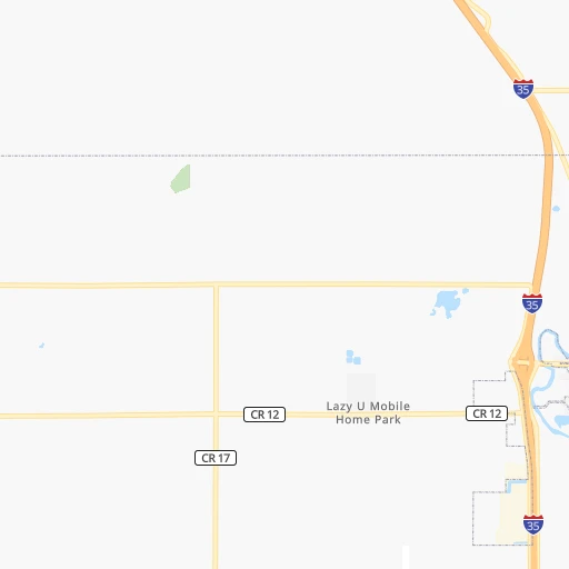
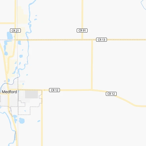
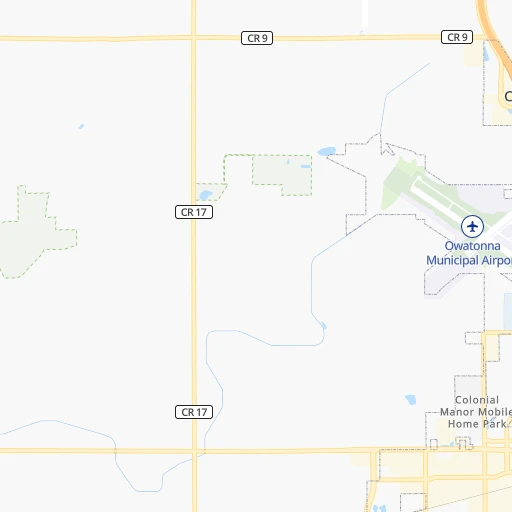
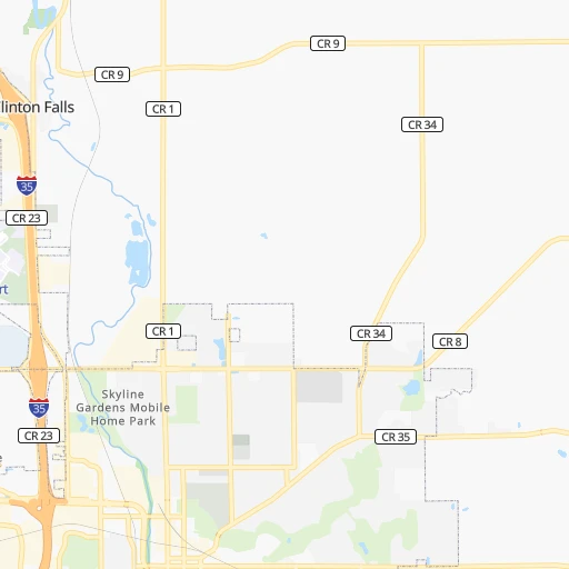
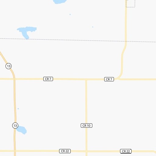
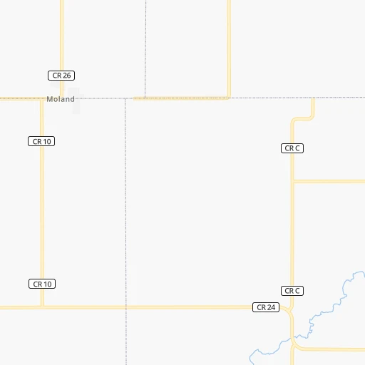
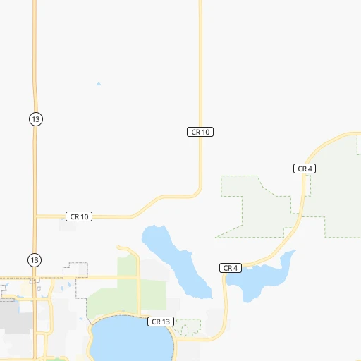
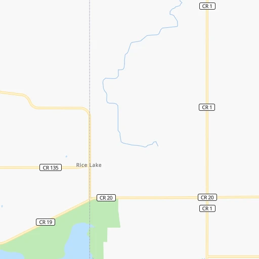
Roadmap (route) to go from Underland Airstrip to Winona detailed above, you can also see the course layout on the map.
While doing trip Underland Airstrip - Winona by car, the calculated route ends at a distance , or more straight.
Distance and duration of the route between Underland Airstrip and Winona
Calculation of distance and route from Winona to Underland Airstrip :
131.2148.6 km2h57mn
Continue onto Northwest 50th Street 0h3mn 1.7 kmTurn right onto Southeast 2nd Avenue 0h1mn 874 mTurn left onto Northwest 46th Street 0h0mn 268 mTurn right 0h3mn 4.5 kmKeep right and take CR 2 toward County Road 2 0h0mn 455 mKeep left and take I 35 South toward Albert Lea 0h0mn 48 mTurn sharp left onto Hoffman Drive Northwest 0h3mn 2.6 kmTurn left onto West Main Street 0h2mn 1.8 kmTurn left onto East School Street 0h5mn 5.2 kmTurn right onto Southeast 44th Avenue 0h1mn 709 mTurn left onto US 14 1h38mn 57.2 kmTurn right onto Civic Center Drive Northeast 0h0mn 199 mTurn left onto East Center Street 0h3mn 1.9 kmTurn left onto College View Road East 0h1mn 757 mAt roundabout, take exit 2 onto College View Road East 0h1mn 654 mKeep right toward CR 22 South 0h1mn 1.2 kmTurn left onto 12th Street Southeast 0h10mn 13.9 kmAt roundabout, take exit 2 onto US 14 1h39mn 50.4 kmKeep right onto US 14 0h1mn 591 mTurn left onto West King Street 0h1mn 295 mTurn left onto Orrin Street 0h0mn 81 mTurn right onto Kramer Drive 0h0mn 150 mContinue onto West Broadway Street 0h4mn 3.2 kmTurn left onto Main Street 0h0mn 13 mArrive at destination 0h0mn 0 m
Travel from Underland Airstrip (Minnesota) to a selection of major cities.
Distances from Underland Airstrip to biggest cities in Minnesota
- Minnetonka Mills,50,117 inhabitants.89 km
- Saint Louis Park,45,250 inhabitants.89 km
- Moorhead,42,005 inhabitants.408 km
- Mankato,41,044 inhabitants.58 km
- Maplewood,40,567 inhabitants.93 km
- Shakopee,39,981 inhabitants.75 km
- Richfield,36,216 inhabitants.82 km
- Cottage Grove,35,918 inhabitants.80 km
- Roseville,35,580 inhabitants.96 km
- Inver Grove Heights,34,857 inhabitants.80 km
- Andover,32,213 inhabitants.121 km
- Brooklyn Center,30,770 inhabitants.104 km
- Savage,30,391 inhabitants.71 km
- Oakdale,28,080 inhabitants.94 km
- Fridley,27,713 inhabitants.105 km
- Winona,27,094 inhabitants.131 km
- Shoreview,26,477 inhabitants.104 km
- Ramsey,25,828 inhabitants.125 km
- Owatonna,25,725 inhabitants.8 km
- Chanhassen,25,332 inhabitants.82 km
Other major cities in country :
- Charlotte [NC], 827,097 inhabitants. 1,453 km
- Seattle [WA], 684,451 inhabitants. 2,271 km
- Denver [CO], 682,545 inhabitants. 1,085 km
- El Paso [TX], 681,124 inhabitants. 1,797 km
- Detroit [MI], 677,116 inhabitants. 853 km
- Boston [MA], 667,137 inhabitants. 1,807 km
- Memphis [TN], 655,770 inhabitants. 1,039 km
- New South Memphis [TN], 641,608 inhabitants. 1,045 km
- Portland [OR], 632,309 inhabitants. 2,313 km
- Oklahoma City [OK], 631,346 inhabitants. 1,032 km
- Las Vegas [NV], 623,747 inhabitants. 2,052 km
- Baltimore [MD], 621,849 inhabitants. 1,483 km
- Washington, D.C. [DC], 601,723 inhabitants. 1,471 km
- Milwaukee [WI], 600,155 inhabitants. 450 km
- South Boston [MA], 571,281 inhabitants. 1,808 km
- Albuquerque [NM], 559,121 inhabitants. 1,524 km
- Tucson [AZ], 531,641 inhabitants. 2,029 km
- Nashville [TN], 530,852 inhabitants. 1,045 km
- Fresno [CA], 520,052 inhabitants. 2,378 km
- Sacramento [CA], 490,712 inhabitants. 2,424 km
Route from Winona to major cities (United States).
- Distance Winona New York City1,494 km
- Distance Winona Los Angeles2,540 km
- Distance Winona Chicago407 km
- Distance Winona Brooklyn1,500 km
- Distance Winona Houston1,624 km
- Distance Winona Queens1,508 km
- Distance Winona Philadelphia1,434 km
- Distance Winona Phoenix2,121 km
- Distance Winona Manhattan1,494 km
- Distance Winona San Antonio1,738 km
- Distance Winona San Diego2,544 km
- Distance Winona The Bronx1,499 km
- Distance Winona Dallas1,332 km
- Distance Winona San Jose2,644 km
- Distance Winona Austin1,626 km
- Distance Winona Jacksonville1,762 km
- Distance Winona San Francisco2,665 km
- Distance Winona Columbus847 km
- Distance Winona Fort Worth1,354 km
- Distance Winona Indianapolis658 km
Nearest cities to Underland Airstrip :
- Omaha, 443,885 inhabitants. 389 km
- Minneapolis, 410,939 inhabitants. 93 km
- Saint Paul, 285,068 inhabitants. 90 km
- Des Moines, 210,330 inhabitants. 285 km
- Cedar Rapids, 130,405 inhabitants. 273 km
- Rochester, 112,225 inhabitants. 66 km
- Davenport, 102,582 inhabitants. 366 km
- Bloomington, 86,435 inhabitants. 77 km
- Duluth, 86,110 inhabitants. 307 km
- Brooklyn Park, 79,149 inhabitants. 106 km
- Plymouth, 75,907 inhabitants. 97 km
- Iowa City, 74,220 inhabitants. 311 km
- Waterloo, 68,460 inhabitants. 199 km
- Maple Grove, 68,385 inhabitants. 104 km
- Woodbury, 67,855 inhabitants. 90 km
- Eau Claire, 67,778 inhabitants. 159 km
- Eagan, 66,286 inhabitants. 74 km
- Saint Cloud, 65,842 inhabitants. 172 km
- Ames, 65,060 inhabitants. 237 km
- West Des Moines, 64,113 inhabitants. 288 km
- Eden Prairie, 63,496 inhabitants. 80 km
- Council Bluffs, 62,597 inhabitants. 384 km
- West Coon Rapids, 62,528 inhabitants. 113 km
- Coon Rapids, 62,240 inhabitants. 108 km
- Blaine, 62,124 inhabitants. 113 km
- Burnsville, 61,481 inhabitants. 69 km
- Lakeville, 60,633 inhabitants. 56 km
- Dubuque, 58,799 inhabitants. 280 km
- Ankeny, 56,764 inhabitants. 270 km
- La Crosse, 52,306 inhabitants. 168 km
- Minnetonka, 51,669 inhabitants. 87 km
- Apple Valley, 51,221 inhabitants. 65 km
- North La Crosse, 50,470 inhabitants. 166 km
- Edina, 50,138 inhabitants. 83 km
- Minnetonka Mills, 50,117 inhabitants. 89 km
- Saint Louis Park, 45,250 inhabitants. 89 km
- Urbandale, 44,062 inhabitants. 283 km
- Moline, 42,681 inhabitants. 370 km
- Cedar Falls, 41,255 inhabitants. 192 km
- Mankato, 41,044 inhabitants. 58 km
- Maplewood, 40,567 inhabitants. 93 km
- Shakopee, 39,981 inhabitants. 75 km
- Rock Island, 38,620 inhabitants. 367 km
- Marion, 37,330 inhabitants. 272 km
- Richfield, 36,216 inhabitants. 82 km
- Cottage Grove, 35,918 inhabitants. 80 km
- Roseville, 35,580 inhabitants. 96 km
- Bettendorf, 35,505 inhabitants. 369 km
- Inver Grove Heights, 34,857 inhabitants. 80 km
- Andover, 32,213 inhabitants. 121 km
Location Underland Airstrip (Minnesota) :
| Country flag |  |
| Location | Underland Airstrip |
| State | Minnesota |
| County | Steele County |
| Country | United States |
| Country code / ISO 2 | US |
| Latitude | 44.1466800 |
| Longitude | -93.2774600 |
| Altitude | 344 meters |
| Time zone | America/Chicago |
Location Winona (Minnesota) :
| Country flag | |
| Location | Winona |
| State | Minnesota |
| County | Winona County |
| Country | United States |
| Country code / ISO 2 | US |
| Latitude | 44.0499600 |
| Longitude | -91.6393200 |
| Altitude | 203 meters |
| Time zone | America/Chicago |

