
Home
››
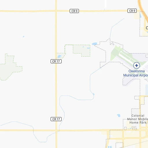
Owatonna Degner Regional Airport
››
Roadmap from Owatonna Degner Regional Airport to Rock Island
How to get from Owatonna Degner Regional (airport) (Minnesota) to Rock Island (Illinois)
Calculate route from Owatonna Degner Regional (airport) (Minnesota, United States) to Rock Island (Illinois, United States).
The flight distance (as the crow flies) between Owatonna Degner Regional (airport) and Rock Island is 362.9 km.
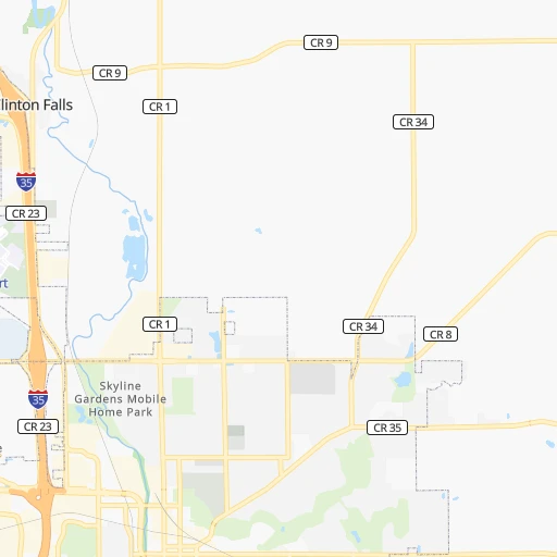
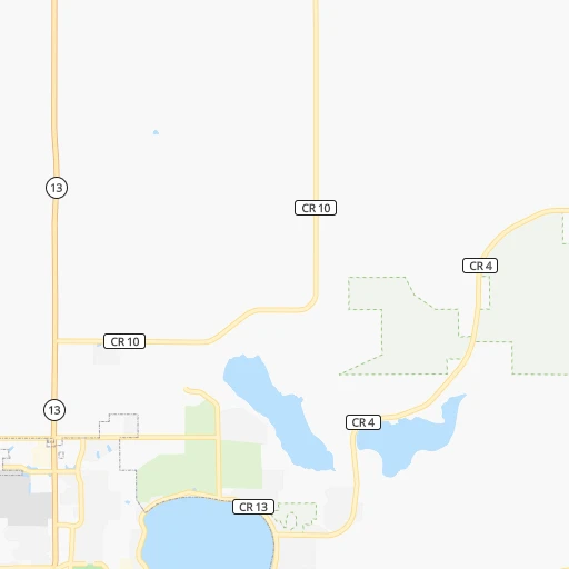
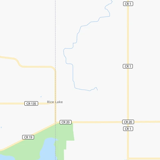
Roadmap (route) to go from Owatonna Degner Regional Airport to Rock Island detailed above, you can also see the course layout on the map.
While doing trip Owatonna Degner Regional (airport) - Rock Island by car, the calculated route ends at a distance , or more straight.
Distance and duration of the route between Owatonna Degner Regional (airport) and Rock Island
Calculation of distance and route from Rock Island to Owatonna Degner Regional (airport) :
362.9442.7 km5h16mn
Continue 0h1mn 336 mTurn right onto Frontage Road West 0h1mn 1.2 kmTurn left onto Northwest 26th Street 0h0mn 93 mTurn right toward I 35 South 0h1mn 1.2 kmKeep right and take CR 2 toward County Road 2 0h0mn 455 mKeep left and take I 35 South toward Albert Lea 0h0mn 48 mTurn sharp left onto Hoffman Drive Northwest 0h3mn 2.6 kmTurn left onto West Main Street 1h37mn 47.8 kmTurn left onto 243rd Street 0h4mn 3.3 kmTurn left 0h5mn 8.7 kmKeep right and take MN 56 toward Brownsdale, Rose Creek 0h0mn 444 mTurn right onto State Highway 56 0h11mn 15.2 kmTurn right onto 640th Avenue 0h21mn 21.4 kmTurn left onto 430th Street 0h4mn 4.1 kmTurn right onto Primrose Avenue 0h11mn 11.3 kmContinue onto US 218 0h17mn 18.4 kmTurn left and take US 18 east, US 218 south, IA 27 south toward Waterloo 1h51mn 79.9 kmKeep right and take US 218 south toward Waterloo 0h1mn 591 mKeep left onto Leo P Rooff Expressway 0h1mn 1.7 kmKeep right and take Broadway Street toward Airport 0h15mn 18.3 kmKeep right 0h0mn 60 mTurn slight right onto South 3rd Street 0h1mn 1.8 kmTurn sharp left 0h1mn 1.6 kmKeep right onto Avenue of the Saints and take I 380 South, IA 27 South toward Cedar Rapids 1h3mn 104.2 kmKeep right toward I 80 0h0mn 326 mKeep left and take I 80 East toward Davenport 1h49mn 81.7 kmKeep right onto US 6 and take I 280 East, US 6 East, US 61 South toward Rock Island, Moline 0h1mn 1.9 kmKeep right onto US 6 and take US 6 East, CR F58 West toward Kimberly Road, Walcott 0h1mn 615 mTurn right onto West Kimberly Road 0h4mn 4.8 kmKeep right onto Hickory Grove Road 0h4mn 4.0 kmTurn left onto West Locust Street 0h1mn 808 mTurn right onto Marquette Street 0h2mn 1.9 kmTurn left onto West 2nd Street 0h1mn 535 mKeep right 0h1mn 1.4 kmArrive at destination 0h0mn 0 m
Travel from Owatonna Degner Regional (airport) (Illinois) to a selection of major cities.
Distances from Owatonna Degner Regional Airport to biggest cities in Minnesota
- Minnetonka Mills,50,117 inhabitants.92 km
- Saint Louis Park,45,250 inhabitants.92 km
- Moorhead,42,005 inhabitants.411 km
- Mankato,41,044 inhabitants.61 km
- Maplewood,40,567 inhabitants.95 km
- Shakopee,39,981 inhabitants.78 km
- Richfield,36,216 inhabitants.85 km
- Cottage Grove,35,918 inhabitants.82 km
- Roseville,35,580 inhabitants.99 km
- Inver Grove Heights,34,857 inhabitants.83 km
- Andover,32,213 inhabitants.124 km
- Brooklyn Center,30,770 inhabitants.106 km
- Savage,30,391 inhabitants.73 km
- Oakdale,28,080 inhabitants.96 km
- Fridley,27,713 inhabitants.107 km
- Winona,27,094 inhabitants.129 km
- Shoreview,26,477 inhabitants.107 km
- Ramsey,25,828 inhabitants.128 km
- Owatonna,25,725 inhabitants.5 km
- Chanhassen,25,332 inhabitants.85 km
Other major cities in country :
- Charlotte [NC], 827,097 inhabitants. 1,450 km
- Seattle [WA], 684,451 inhabitants. 2,274 km
- Denver [CO], 682,545 inhabitants. 1,086 km
- El Paso [TX], 681,124 inhabitants. 1,796 km
- Detroit [MI], 677,116 inhabitants. 851 km
- Boston [MA], 667,137 inhabitants. 1,805 km
- Memphis [TN], 655,770 inhabitants. 1,036 km
- New South Memphis [TN], 641,608 inhabitants. 1,042 km
- Portland [OR], 632,309 inhabitants. 2,316 km
- Oklahoma City [OK], 631,346 inhabitants. 1,030 km
- Las Vegas [NV], 623,747 inhabitants. 2,053 km
- Baltimore [MD], 621,849 inhabitants. 1,480 km
- Washington, D.C. [DC], 601,723 inhabitants. 1,468 km
- Milwaukee [WI], 600,155 inhabitants. 447 km
- South Boston [MA], 571,281 inhabitants. 1,806 km
- Albuquerque [NM], 559,121 inhabitants. 1,524 km
- Tucson [AZ], 531,641 inhabitants. 2,029 km
- Nashville [TN], 530,852 inhabitants. 1,042 km
- Fresno [CA], 520,052 inhabitants. 2,380 km
- Sacramento [CA], 490,712 inhabitants. 2,426 km
Route from Rock Island to major cities (United States).
- Distance Rock Island New York City1,391 km
- Distance Rock Island Los Angeles2,559 km
- Distance Rock Island Brooklyn1,397 km
- Distance Rock Island Houston1,377 km
- Distance Rock Island Queens1,405 km
- Distance Rock Island Philadelphia1,310 km
- Distance Rock Island Phoenix2,093 km
- Distance Rock Island Manhattan1,393 km
- Distance Rock Island San Antonio1,523 km
- Distance Rock Island San Diego2,542 km
- Distance Rock Island The Bronx1,400 km
- Distance Rock Island Dallas1,117 km
- Distance Rock Island San Jose2,717 km
- Distance Rock Island Austin1,407 km
- Distance Rock Island Jacksonville1,480 km
- Distance Rock Island San Francisco2,745 km
- Distance Rock Island Columbus662 km
- Distance Rock Island Fort Worth1,146 km
- Distance Rock Island Indianapolis421 km
- Distance Rock Island Charlotte1,099 km
Nearest cities to Owatonna Degner Regional (airport) :
- Omaha, 443,885 inhabitants. 387 km
- Minneapolis, 410,939 inhabitants. 96 km
- Saint Paul, 285,068 inhabitants. 92 km
- Des Moines, 210,330 inhabitants. 282 km
- Cedar Rapids, 130,405 inhabitants. 269 km
- Rochester, 112,225 inhabitants. 63 km
- Davenport, 102,582 inhabitants. 362 km
- Bloomington, 86,435 inhabitants. 80 km
- Duluth, 86,110 inhabitants. 309 km
- Brooklyn Park, 79,149 inhabitants. 109 km
- Plymouth, 75,907 inhabitants. 100 km
- Iowa City, 74,220 inhabitants. 308 km
- Waterloo, 68,460 inhabitants. 196 km
- Maple Grove, 68,385 inhabitants. 107 km
- Woodbury, 67,855 inhabitants. 92 km
- Eau Claire, 67,778 inhabitants. 159 km
- Eagan, 66,286 inhabitants. 76 km
- Saint Cloud, 65,842 inhabitants. 176 km
- Ames, 65,060 inhabitants. 234 km
- West Des Moines, 64,113 inhabitants. 286 km
- Eden Prairie, 63,496 inhabitants. 83 km
- Council Bluffs, 62,597 inhabitants. 383 km
- West Coon Rapids, 62,528 inhabitants. 116 km
- Coon Rapids, 62,240 inhabitants. 111 km
- Blaine, 62,124 inhabitants. 116 km
- Burnsville, 61,481 inhabitants. 72 km
- Lakeville, 60,633 inhabitants. 59 km
- Dubuque, 58,799 inhabitants. 276 km
- Ankeny, 56,764 inhabitants. 268 km
- Bellevue, 55,510 inhabitants. 396 km
- La Crosse, 52,306 inhabitants. 165 km
- Minnetonka, 51,669 inhabitants. 90 km
- Apple Valley, 51,221 inhabitants. 68 km
- North La Crosse, 50,470 inhabitants. 163 km
- Edina, 50,138 inhabitants. 86 km
- Minnetonka Mills, 50,117 inhabitants. 92 km
- Saint Louis Park, 45,250 inhabitants. 92 km
- Urbandale, 44,062 inhabitants. 280 km
- Moline, 42,681 inhabitants. 367 km
- Cedar Falls, 41,255 inhabitants. 189 km
- Mankato, 41,044 inhabitants. 61 km
- Maplewood, 40,567 inhabitants. 95 km
- Shakopee, 39,981 inhabitants. 78 km
- Rock Island, 38,620 inhabitants. 363 km
- Marion, 37,330 inhabitants. 268 km
- Richfield, 36,216 inhabitants. 85 km
- Cottage Grove, 35,918 inhabitants. 82 km
- Roseville, 35,580 inhabitants. 99 km
- Bettendorf, 35,505 inhabitants. 365 km
- Inver Grove Heights, 34,857 inhabitants. 83 km
Location Owatonna Degner Regional (airport) (Minnesota) :
| Country flag |  |
| Location | Owatonna Degner Regional (airport) |
| State | Minnesota |
| County | Steele County |
| Country | United States |
| Country code / ISO 2 | US |
| Latitude | 44.1217800 |
| Longitude | -93.2505900 |
| Altitude | 348 meters |
| Time zone | America/Chicago |
Location Rock Island (Illinois) :
| Country flag | |
| Location | Rock Island |
| State | Illinois |
| County | Rock Island County |
| Country | United States |
| Country code / ISO 2 | US |
| Latitude | 41.5094800 |
| Longitude | -90.5787500 |
| Altitude | 171 meters |
| Time zone | America/Chicago |


