

How to get from Offutt Farm (airport) (Minnesota) to Brainerd (Minnesota)
Calculate route from Offutt Farm (airport) (Minnesota, United States) to Brainerd (Minnesota, United States).
The flight distance (as the crow flies) between Offutt Farm (airport) and Brainerd is 190.5 km.
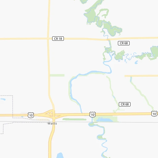
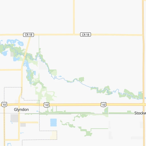
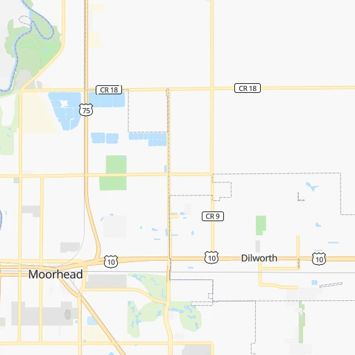
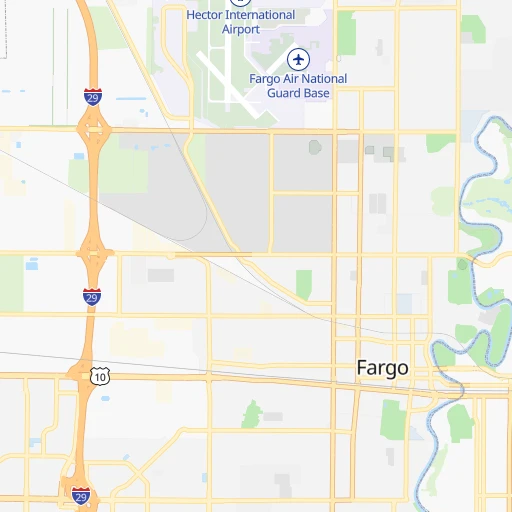
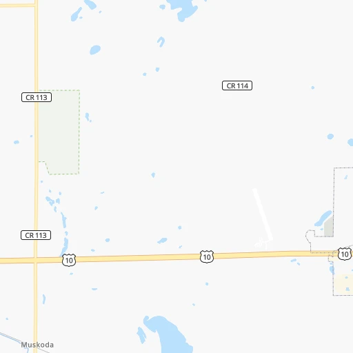
Roadmap (route) to go from Offutt Farm Airport to Brainerd detailed above, you can also see the course layout on the map.
While doing trip Offutt Farm (airport) - Brainerd by car, the calculated route ends at a distance , or more straight.
Distance and duration of the route between Offutt Farm (airport) and Brainerd
Calculation of distance and route from Brainerd to Offutt Farm (airport) :
190.5205.8 km3h41mn
Continue onto Partridge Avenue North 0h1mn 548 mTurn left onto State Street Southwest 2h10mn 170.1 kmTurn left onto Dallas Sams Memorial Highway 0h30mn 35.2 kmArrive at destination 0h0mn 0 m
Travel from Offutt Farm (airport) (Minnesota) to a selection of major cities.
Distances from Offutt Farm Airport to biggest cities in Minnesota
- Minnetonka Mills,50,117 inhabitants.325 km
- Saint Louis Park,45,250 inhabitants.330 km
- Moorhead,42,005 inhabitants.15 km
- Mankato,41,044 inhabitants.363 km
- Maplewood,40,567 inhabitants.351 km
- Shakopee,39,981 inhabitants.331 km
- Richfield,36,216 inhabitants.339 km
- Cottage Grove,35,918 inhabitants.363 km
- Roseville,35,580 inhabitants.337 km
- Inver Grove Heights,34,857 inhabitants.355 km
- Andover,32,213 inhabitants.313 km
- Brooklyn Center,30,770 inhabitants.321 km
- Savage,30,391 inhabitants.343 km
- Oakdale,28,080 inhabitants.352 km
- Fridley,27,713 inhabitants.325 km
- Winona,27,094 inhabitants.498 km
- Shoreview,26,477 inhabitants.333 km
- Ramsey,25,828 inhabitants.301 km
- Owatonna,25,725 inhabitants.407 km
- Chanhassen,25,332 inhabitants.326 km
Other major cities in country :
- Charlotte [NC], 827,097 inhabitants. 1,845 km
- Seattle [WA], 684,451 inhabitants. 1,939 km
- Denver [CO], 682,545 inhabitants. 1,046 km
- El Paso [TX], 681,124 inhabitants. 1,884 km
- Detroit [MI], 677,116 inhabitants. 1,184 km
- Boston [MA], 667,137 inhabitants. 2,074 km
- Memphis [TN], 655,770 inhabitants. 1,415 km
- New South Memphis [TN], 641,608 inhabitants. 1,421 km
- Portland [OR], 632,309 inhabitants. 2,007 km
- Oklahoma City [OK], 631,346 inhabitants. 1,273 km
- Las Vegas [NV], 623,747 inhabitants. 1,944 km
- Baltimore [MD], 621,849 inhabitants. 1,823 km
- Washington, D.C. [DC], 601,723 inhabitants. 1,818 km
- Milwaukee [WI], 600,155 inhabitants. 805 km
- South Boston [MA], 571,281 inhabitants. 2,075 km
- Albuquerque [NM], 559,121 inhabitants. 1,560 km
- Tucson [AZ], 531,641 inhabitants. 2,038 km
- Nashville [TN], 530,852 inhabitants. 1,443 km
- Fresno [CA], 520,052 inhabitants. 2,218 km
- Sacramento [CA], 490,712 inhabitants. 2,225 km
Route from Brainerd to major cities (United States).
- Distance Brainerd New York City1,741 km
- Distance Brainerd Los Angeles2,445 km
- Distance Brainerd Chicago725 km
- Distance Brainerd Brooklyn1,748 km
- Distance Brainerd Houston1,850 km
- Distance Brainerd Queens1,755 km
- Distance Brainerd Philadelphia1,697 km
- Distance Brainerd Phoenix2,087 km
- Distance Brainerd Manhattan1,740 km
- Distance Brainerd San Antonio1,922 km
- Distance Brainerd San Diego2,473 km
- Distance Brainerd The Bronx1,744 km
- Distance Brainerd Dallas1,527 km
- Distance Brainerd San Jose2,490 km
- Distance Brainerd Austin1,817 km
- Distance Brainerd Jacksonville2,088 km
- Distance Brainerd San Francisco2,503 km
- Distance Brainerd Columbus1,153 km
- Distance Brainerd Fort Worth1,541 km
- Distance Brainerd Indianapolis982 km
Nearest cities to Offutt Farm (airport) :
- Fargo, 118,523 inhabitants. 16 km
- Saint Cloud, 65,842 inhabitants. 237 km
- Grand Forks, 57,011 inhabitants. 121 km
- Moorhead, 42,005 inhabitants. 15 km
- Mankato, 41,044 inhabitants. 363 km
- West Fargo, 33,597 inhabitants. 25 km
- Aberdeen, 28,102 inhabitants. 216 km
- Chaska, 25,199 inhabitants. 328 km
- Brookings, 23,657 inhabitants. 287 km
- Watertown, 22,073 inhabitants. 225 km
- Willmar, 19,638 inhabitants. 229 km
- Sartell, 16,788 inhabitants. 230 km
- Saint Michael, 16,399 inhabitants. 292 km
- Buffalo, 16,026 inhabitants. 283 km
- Otsego, 15,551 inhabitants. 292 km
- Jamestown, 15,422 inhabitants. 162 km
- Bemidji, 14,594 inhabitants. 144 km
- Hutchinson, 13,913 inhabitants. 280 km
- Marshall, 13,652 inhabitants. 278 km
- North Mankato, 13,529 inhabitants. 361 km
- Sauk Rapids, 13,424 inhabitants. 235 km
- Brainerd, 13,371 inhabitants. 191 km
- New Ulm, 13,327 inhabitants. 330 km
- Huron, 13,313 inhabitants. 308 km
- Monticello, 13,299 inhabitants. 277 km
- Fergus Falls, 13,281 inhabitants. 77 km
- Waconia, 11,968 inhabitants. 313 km
- Alexandria, 11,843 inhabitants. 144 km
- Saint Peter, 11,196 inhabitants. 350 km
- Big Lake, 10,368 inhabitants. 278 km
- Mound, 9,336 inhabitants. 313 km
- Detroit Lakes, 9,002 inhabitants. 56 km
- Thief River Falls, 8,752 inhabitants. 141 km
- Victoria, 8,676 inhabitants. 319 km
- Little Falls, 8,649 inhabitants. 198 km
- East Grand Forks, 8,643 inhabitants. 121 km
- Orono, 8,006 inhabitants. 313 km
- Baxter, 7,934 inhabitants. 185 km
- Wahpeton, 7,899 inhabitants. 69 km
- Crookston, 7,787 inhabitants. 99 km
- Shorewood, 7,614 inhabitants. 320 km
- Waite Park, 7,517 inhabitants. 234 km
- Devils Lake, 7,351 inhabitants. 220 km
- Albertville, 7,345 inhabitants. 291 km
- Madison, 7,258 inhabitants. 323 km
- Minnetrista, 7,178 inhabitants. 310 km
- Belle Plaine, 6,918 inhabitants. 333 km
- Valley City, 6,669 inhabitants. 109 km
- Litchfield, 6,657 inhabitants. 251 km
- Saint Joseph, 6,534 inhabitants. 227 km
Location Offutt Farm (airport) (Minnesota) :
| Country flag |  |
| Location | Offutt Farm (airport) |
| State | Minnesota |
| County | Clay County |
| Country | United States |
| Country code / ISO 2 | US |
| Latitude | 46.8816300 |
| Longitude | -96.5770200 |
| Altitude | 281 meters |
| Time zone | America/Chicago |
Location Brainerd (Minnesota) :
| Country flag | |
| Location | Brainerd |
| State | Minnesota |
| County | Crow Wing County |
| Country | United States |
| Country code / ISO 2 | US |
| Latitude | 46.3580200 |
| Longitude | -94.2008300 |
| Altitude | 371 meters |
| Time zone | America/Chicago |


