
How to get from Deters Farms (airport) (Minnesota) to Saint Louis Park (Minnesota)
Calculate route from Deters Farms (airport) (Minnesota, United States) to Saint Louis Park (Minnesota, United States).
The flight distance (as the crow flies) between Deters Farms (airport) and Saint Louis Park is 203.5 km.
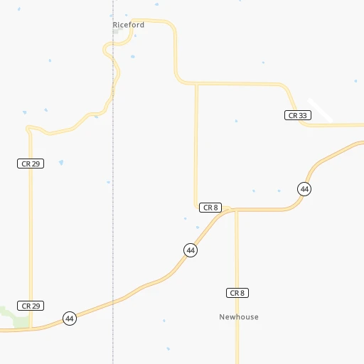
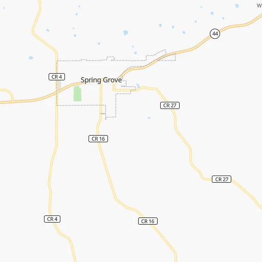
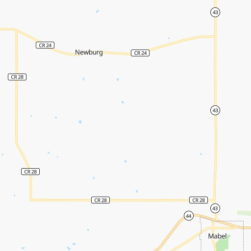
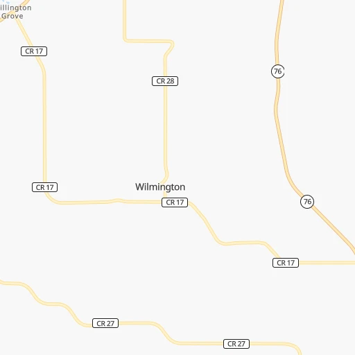
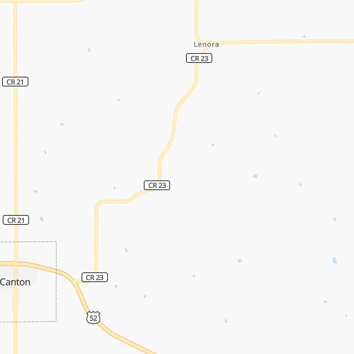
Roadmap (route) to go from Deters Farms Airport to Saint Louis Park detailed above, you can also see the course layout on the map.
While doing trip Deters Farms (airport) - Saint Louis Park by car, the calculated route ends at a distance , or more straight.
Distance and duration of the route between Deters Farms (airport) and Saint Louis Park
Calculation of distance and route from Saint Louis Park to Deters Farms (airport) :
203.5238.7 km3h12mn
Continue onto County Road 33 0h4mn 3.0 kmContinue onto County Road 8 0h3mn 2.3 kmTurn right onto Elm Drive 0h0mn 70 mTurn right onto Crystal Creek Road 0h1mn 687 mKeep right onto Crystal Creek Road 0h5mn 2.3 kmTurn left onto County Highway 18 0h4mn 3.2 kmContinue onto MN 43 0h4mn 4.3 kmTurn left onto County Highway 12 0h16mn 13.2 kmTurn left onto County Highway 12 0h9mn 7.8 kmTurn right onto US 52 0h6mn 7.5 kmContinue onto County Highway 11 0h15mn 19.8 kmTurn right onto Winona Street Southeast 0h2mn 1.7 kmTurn right onto Burr Oak Avenue Northeast 0h1mn 472 mTurn left onto Union Street Northeast 0h0mn 297 mTurn right onto Main Street Northwest, Main Street North 1h3mn 95.7 kmKeep right onto US 52 0h28mn 44.0 kmKeep left onto MN 55 and take MN 55 West toward Minneapolis 0h5mn 7.2 kmKeep left onto MN 55 0h3mn 3.7 kmContinue onto MN 55 0h3mn 3.9 kmKeep right onto MN 55 and take MN 55 West toward Minnehaha Avenue, Hiawatha Avenue 0h0mn 296 mKeep right onto MN 55 and take MN 55 West toward Hiawatha Avenue 0h6mn 6.2 kmKeep right and drive toward East Lake Street 0h0mn 295 mKeep left 0h0mn 74 mTurn slight left onto East Lake Street 0h9mn 6.3 kmKeep right onto Lake Street West 0h1mn 977 mKeep right onto Minnetonka Boulevard 0h1mn 519 mTurn slight right onto Minnetonka Boulevard 0h1mn 1.1 kmTurn sharp right onto Vernon Avenue South 0h1mn 383 mTurn right onto 28th Street West 0h0mn 109 mTurn left onto Utica Avenue South 0h1mn 356 mKeep right toward MN 100 South 0h1mn 810 mArrive at destination 0h0mn 0 m
Travel from Deters Farms (airport) (Minnesota) to a selection of major cities.
Distances from Deters Farms Airport to biggest cities in Minnesota
- Minnetonka Mills,50,117 inhabitants.208 km
- Saint Louis Park,45,250 inhabitants.204 km
- Moorhead,42,005 inhabitants.543 km
- Mankato,41,044 inhabitants.199 km
- Maplewood,40,567 inhabitants.187 km
- Shakopee,39,981 inhabitants.202 km
- Richfield,36,216 inhabitants.195 km
- Cottage Grove,35,918 inhabitants.173 km
- Roseville,35,580 inhabitants.199 km
- Inver Grove Heights,34,857 inhabitants.180 km
- Andover,32,213 inhabitants.226 km
- Brooklyn Center,30,770 inhabitants.214 km
- Savage,30,391 inhabitants.189 km
- Oakdale,28,080 inhabitants.187 km
- Fridley,27,713 inhabitants.212 km
- Winona,27,094 inhabitants.55 km
- Shoreview,26,477 inhabitants.206 km
- Ramsey,25,828 inhabitants.236 km
- Owatonna,25,725 inhabitants.137 km
- Chanhassen,25,332 inhabitants.207 km
Other major cities in country :
- Charlotte [NC], 827,097 inhabitants. 1,313 km
- Seattle [WA], 684,451 inhabitants. 2,414 km
- Denver [CO], 682,545 inhabitants. 1,184 km
- El Paso [TX], 681,124 inhabitants. 1,846 km
- Detroit [MI], 677,116 inhabitants. 716 km
- Boston [MA], 667,137 inhabitants. 1,681 km
- Memphis [TN], 655,770 inhabitants. 947 km
- New South Memphis [TN], 641,608 inhabitants. 954 km
- Portland [OR], 632,309 inhabitants. 2,454 km
- Oklahoma City [OK], 631,346 inhabitants. 1,030 km
- Las Vegas [NV], 623,747 inhabitants. 2,157 km
- Baltimore [MD], 621,849 inhabitants. 1,342 km
- Washington, D.C. [DC], 601,723 inhabitants. 1,329 km
- Milwaukee [WI], 600,155 inhabitants. 311 km
- South Boston [MA], 571,281 inhabitants. 1,682 km
- Albuquerque [NM], 559,121 inhabitants. 1,594 km
- Tucson [AZ], 531,641 inhabitants. 2,101 km
- Nashville [TN], 530,852 inhabitants. 923 km
- Fresno [CA], 520,052 inhabitants. 2,494 km
- Sacramento [CA], 490,712 inhabitants. 2,548 km
Route from Saint Louis Park to major cities (United States).
- Distance Saint Louis Park New York City1,643 km
- Distance Saint Louis Park Los Angeles2,444 km
- Distance Saint Louis Park Chicago575 km
- Distance Saint Louis Park Brooklyn1,650 km
- Distance Saint Louis Park Houston1,700 km
- Distance Saint Louis Park Queens1,658 km
- Distance Saint Louis Park Philadelphia1,590 km
- Distance Saint Louis Park Phoenix2,053 km
- Distance Saint Louis Park Manhattan1,643 km
- Distance Saint Louis Park San Antonio1,786 km
- Distance Saint Louis Park San Diego2,459 km
- Distance Saint Louis Park The Bronx1,648 km
- Distance Saint Louis Park Dallas1,387 km
- Distance Saint Louis Park San Jose2,523 km
- Distance Saint Louis Park Austin1,679 km
- Distance Saint Louis Park Jacksonville1,921 km
- Distance Saint Louis Park San Francisco2,541 km
- Distance Saint Louis Park Columbus1,014 km
- Distance Saint Louis Park Fort Worth1,403 km
- Distance Saint Louis Park Indianapolis825 km
Nearest cities to Deters Farms (airport) :
- Minneapolis, 410,939 inhabitants. 202 km
- Saint Paul, 285,068 inhabitants. 191 km
- Madison, 248,951 inhabitants. 192 km
- Des Moines, 210,330 inhabitants. 270 km
- Rockford, 148,278 inhabitants. 255 km
- Cedar Rapids, 130,405 inhabitants. 173 km
- Peoria, 115,070 inhabitants. 363 km
- North Peoria, 113,004 inhabitants. 361 km
- Rochester, 112,225 inhabitants. 82 km
- Davenport, 102,582 inhabitants. 244 km
- Bloomington, 86,435 inhabitants. 192 km
- Brooklyn Park, 79,149 inhabitants. 217 km
- Plymouth, 75,907 inhabitants. 215 km
- Iowa City, 74,220 inhabitants. 212 km
- Waterloo, 68,460 inhabitants. 131 km
- Maple Grove, 68,385 inhabitants. 220 km
- Woodbury, 67,855 inhabitants. 183 km
- Eau Claire, 67,778 inhabitants. 140 km
- Eagan, 66,286 inhabitants. 182 km
- Saint Cloud, 65,842 inhabitants. 297 km
- Ames, 65,060 inhabitants. 232 km
- Janesville, 64,123 inhabitants. 237 km
- West Des Moines, 64,113 inhabitants. 277 km
- Eden Prairie, 63,496 inhabitants. 203 km
- West Coon Rapids, 62,528 inhabitants. 222 km
- Coon Rapids, 62,240 inhabitants. 216 km
- Blaine, 62,124 inhabitants. 217 km
- Burnsville, 61,481 inhabitants. 185 km
- Lakeville, 60,633 inhabitants. 174 km
- Dubuque, 58,799 inhabitants. 144 km
- Ankeny, 56,764 inhabitants. 258 km
- La Crosse, 52,306 inhabitants. 44 km
- Minnetonka, 51,669 inhabitants. 209 km
- Apple Valley, 51,221 inhabitants. 179 km
- North La Crosse, 50,470 inhabitants. 47 km
- Edina, 50,138 inhabitants. 199 km
- Minnetonka Mills, 50,117 inhabitants. 208 km
- Saint Louis Park, 45,250 inhabitants. 204 km
- Urbandale, 44,062 inhabitants. 272 km
- DeKalb, 43,211 inhabitants. 300 km
- Moline, 42,681 inhabitants. 248 km
- Cedar Falls, 41,255 inhabitants. 131 km
- Mankato, 41,044 inhabitants. 199 km
- Maplewood, 40,567 inhabitants. 187 km
- Shakopee, 39,981 inhabitants. 202 km
- Wausau, 39,094 inhabitants. 226 km
- Rock Island, 38,620 inhabitants. 246 km
- Marion, 37,330 inhabitants. 170 km
- Beloit, 36,891 inhabitants. 245 km
- Richfield, 36,216 inhabitants. 195 km
Location Deters Farms (airport) (Minnesota) :
| Country flag |  |
| Location | Deters Farms (airport) |
| State | Minnesota |
| County | Houston County |
| Country | United States |
| Country code / ISO 2 | US |
| Latitude | 43.5609400 |
| Longitude | -91.6790500 |
| Altitude | 375 meters |
| Time zone | America/Chicago |
Location Saint Louis Park (Minnesota) :
| Country flag | |
| Location | Saint Louis Park |
| State | Minnesota |
| County | Hennepin County |
| Country | United States |
| Country code / ISO 2 | US |
| Latitude | 44.9483000 |
| Longitude | -93.3480100 |
| Altitude | 274 meters |
| Time zone | America/Chicago |


