
How to get from Columbia Heights (Minnesota) to White Bear Lake (Minnesota)
Calculate route from Columbia Heights (Minnesota, United States) to White Bear Lake (Minnesota, United States).
The flight distance (as the crow flies) between Columbia Heights and White Bear Lake is 20.5 km.
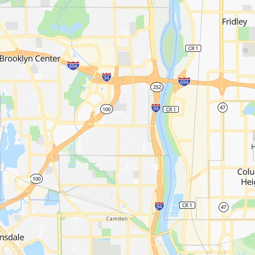
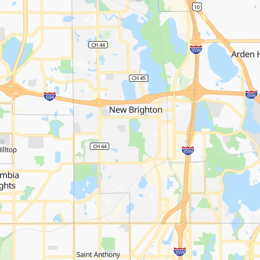
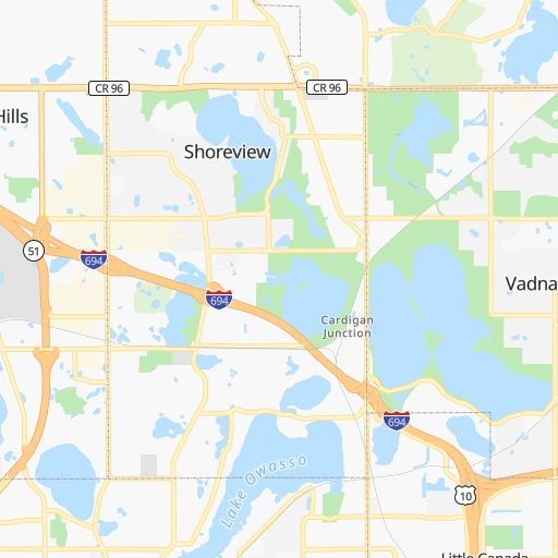
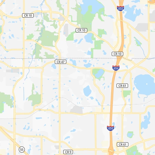
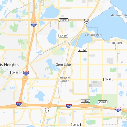
Roadmap (route) to go from Columbia Heights to White Bear Lake detailed above, you can also see the course layout on the map.
While doing trip Columbia Heights - White Bear Lake by car, the calculated route ends at a distance , or more straight.
Distance and duration of the route between Columbia Heights and White Bear Lake
Calculation of distance and route from White Bear Lake to Columbia Heights :
20.524.9 km0h21mn
Continue onto University Avenue 0h3mn 2.8 kmKeep right toward I 694 East 0h4mn 6.3 kmKeep right toward I 35W North 0h1mn 1.3 kmKeep right toward CR 96 0h0mn 360 mKeep right toward CR 96 0h9mn 10.3 kmTurn slight right onto CH 96 0h0mn 212 mTurn slight right onto CH 96 0h3mn 2.8 kmTurn left onto North Highway 61 0h1mn 759 mTurn right 0h0mn 17 mArrive at destination 0h0mn 0 m
Travel from Columbia Heights (Minnesota) to a selection of major cities.
Distances from Columbia Heights to biggest cities in Minnesota
- Minnetonka Mills,50,117 inhabitants.18 km
- Saint Louis Park,45,250 inhabitants.12 km
- Moorhead,42,005 inhabitants.339 km
- Mankato,41,044 inhabitants.115 km
- Maplewood,40,567 inhabitants.23 km
- Shakopee,39,981 inhabitants.34 km
- Richfield,36,216 inhabitants.18 km
- Cottage Grove,35,918 inhabitants.35 km
- Roseville,35,580 inhabitants.9 km
- Inver Grove Heights,34,857 inhabitants.28 km
- Andover,32,213 inhabitants.22 km
- Brooklyn Center,30,770 inhabitants.7 km
- Savage,30,391 inhabitants.30 km
- Oakdale,28,080 inhabitants.25 km
- Fridley,27,713 inhabitants.5 km
- Winona,27,094 inhabitants.170 km
- Shoreview,26,477 inhabitants.10 km
- Ramsey,25,828 inhabitants.29 km
- Owatonna,25,725 inhabitants.107 km
- Chanhassen,25,332 inhabitants.29 km
Other major cities in country :
- Charlotte [NC], 827,097 inhabitants. 1,517 km
- Seattle [WA], 684,451 inhabitants. 2,240 km
- Denver [CO], 682,545 inhabitants. 1,128 km
- El Paso [TX], 681,124 inhabitants. 1,870 km
- Detroit [MI], 677,116 inhabitants. 875 km
- Boston [MA], 667,137 inhabitants. 1,806 km
- Memphis [TN], 655,770 inhabitants. 1,134 km
- New South Memphis [TN], 641,608 inhabitants. 1,141 km
- Portland [OR], 632,309 inhabitants. 2,292 km
- Oklahoma City [OK], 631,346 inhabitants. 1,125 km
- Las Vegas [NV], 623,747 inhabitants. 2,086 km
- Baltimore [MD], 621,849 inhabitants. 1,512 km
- Washington, D.C. [DC], 601,723 inhabitants. 1,503 km
- Milwaukee [WI], 600,155 inhabitants. 483 km
- South Boston [MA], 571,281 inhabitants. 1,807 km
- Albuquerque [NM], 559,121 inhabitants. 1,586 km
- Tucson [AZ], 531,641 inhabitants. 2,088 km
- Nashville [TN], 530,852 inhabitants. 1,129 km
- Fresno [CA], 520,052 inhabitants. 2,400 km
- Sacramento [CA], 490,712 inhabitants. 2,436 km
Route from White Bear Lake to major cities (United States).
- Distance White Bear Lake New York City1,620 km
- Distance White Bear Lake Los Angeles2,474 km
- Distance White Bear Lake Chicago563 km
- Distance White Bear Lake Brooklyn1,627 km
- Distance White Bear Lake Houston1,718 km
- Distance White Bear Lake Queens1,634 km
- Distance White Bear Lake Philadelphia1,568 km
- Distance White Bear Lake Phoenix2,083 km
- Distance White Bear Lake Manhattan1,620 km
- Distance White Bear Lake San Antonio1,809 km
- Distance White Bear Lake San Diego2,490 km
- Distance White Bear Lake The Bronx1,625 km
- Distance White Bear Lake Dallas1,408 km
- Distance White Bear Lake San Jose2,552 km
- Distance White Bear Lake Austin1,701 km
- Distance White Bear Lake Jacksonville1,918 km
- Distance White Bear Lake San Francisco2,569 km
- Distance White Bear Lake Columbus999 km
- Distance White Bear Lake Fort Worth1,425 km
- Distance White Bear Lake Indianapolis816 km
Nearest cities to Columbia Heights :
- Minneapolis, 410,939 inhabitants. 7 km
- Saint Paul, 285,068 inhabitants. 17 km
- Rochester, 112,225 inhabitants. 130 km
- Bloomington, 86,435 inhabitants. 22 km
- Duluth, 86,110 inhabitants. 214 km
- Brooklyn Park, 79,149 inhabitants. 9 km
- Plymouth, 75,907 inhabitants. 16 km
- Waterloo, 68,460 inhabitants. 293 km
- Maple Grove, 68,385 inhabitants. 16 km
- Woodbury, 67,855 inhabitants. 27 km
- Eau Claire, 67,778 inhabitants. 141 km
- Eagan, 66,286 inhabitants. 27 km
- Saint Cloud, 65,842 inhabitants. 91 km
- Eden Prairie, 63,496 inhabitants. 26 km
- West Coon Rapids, 62,528 inhabitants. 15 km
- Coon Rapids, 62,240 inhabitants. 9 km
- Blaine, 62,124 inhabitants. 14 km
- Burnsville, 61,481 inhabitants. 30 km
- Lakeville, 60,633 inhabitants. 44 km
- Dubuque, 58,799 inhabitants. 352 km
- La Crosse, 52,306 inhabitants. 212 km
- Minnetonka, 51,669 inhabitants. 24 km
- Apple Valley, 51,221 inhabitants. 35 km
- North La Crosse, 50,470 inhabitants. 208 km
- Edina, 50,138 inhabitants. 18 km
- Minnetonka Mills, 50,117 inhabitants. 18 km
- Saint Louis Park, 45,250 inhabitants. 12 km
- Cedar Falls, 41,255 inhabitants. 287 km
- Mankato, 41,044 inhabitants. 115 km
- Maplewood, 40,567 inhabitants. 23 km
- Shakopee, 39,981 inhabitants. 34 km
- Richfield, 36,216 inhabitants. 18 km
- Cottage Grove, 35,918 inhabitants. 35 km
- Roseville, 35,580 inhabitants. 9 km
- Inver Grove Heights, 34,857 inhabitants. 28 km
- Andover, 32,213 inhabitants. 22 km
- Brooklyn Center, 30,770 inhabitants. 7 km
- Savage, 30,391 inhabitants. 30 km
- Oakdale, 28,080 inhabitants. 25 km
- Fridley, 27,713 inhabitants. 5 km
- Marshalltown, 27,620 inhabitants. 334 km
- Mason City, 27,366 inhabitants. 210 km
- Winona, 27,094 inhabitants. 170 km
- Superior, 26,579 inhabitants. 207 km
- Shoreview, 26,477 inhabitants. 10 km
- Ramsey, 25,828 inhabitants. 29 km
- Owatonna, 25,725 inhabitants. 107 km
- Chanhassen, 25,332 inhabitants. 29 km
- Prior Lake, 25,282 inhabitants. 39 km
- White Bear Lake, 25,205 inhabitants. 20 km
Location Columbia Heights (Minnesota) :
| Country flag |  |
| Location | Columbia Heights |
| State | Minnesota |
| County | Anoka County |
| Country | United States |
| Country code / ISO 2 | US |
| Latitude | 45.0408000 |
| Longitude | -93.2630000 |
| Altitude | 281 meters |
| Time zone | America/Chicago |
Location White Bear Lake (Minnesota) :
| Country flag | |
| Location | White Bear Lake |
| State | Minnesota |
| County | Ramsey County |
| Country | United States |
| Country code / ISO 2 | US |
| Latitude | 45.0846900 |
| Longitude | -93.0099400 |
| Altitude | 287 meters |
| Time zone | America/Chicago |

